Juno Lake
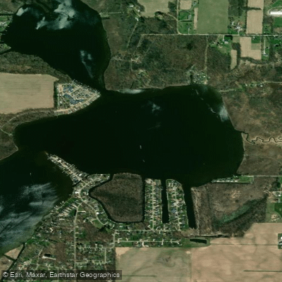
Juno Lake
- Boat Ramps
- 2
- Access Points
- 2
- Campsites
- 1
Juno Lake in Cass County, Michigan is part of a three-lake chain connected with Christiana Lake and Painter Lake. The Michigan DNR maintains a public boat launch on the southern shore of Juno Lake with 16 parking spaces, providing access to all three interconnected lakes. The lake spans approximately 220 acres with channels connecting to its sister lakes.
A popular paddling route starts at the Juno Lake access point, allowing paddlers to explore all three lakes in a 6-mile circuit, returning to the same launch site. This route typically takes about 2 hours and is rated as easy. Alternatively, paddlers can venture from Juno Lake down Christiana Creek, accessing a 5-mile route to the Redfield Access point.
The lake features extensive undeveloped shorelines with adjacent wetlands, providing excellent wildlife viewing opportunities. No-wake restrictions are in place in Juno Lake's channels and the channel connecting to Painter Lake. The lake system supports diverse aquatic vegetation, including yellow and white waterlily, Illinois pondweed, and coontail.
By mid-August, surface water temperatures reach around 77°F, with adequate oxygen levels for fish down to 16 feet. The lake's maximum depth reaches 28 feet in some areas. The surrounding watershed is primarily agricultural, with a mix of forest and wetland areas providing natural scenery.
The channels and less developed sections of shoreline feature abundant woody habitat, making the lake system particularly attractive for nature observation. The Southwest Michigan Land Conservancy protects a 73-acre parcel along the connected Christiana Lake, helping preserve the natural character of the waterway.
Paddlers should note that the lake can experience significant boat traffic during summer weekends, as it hosts regular fishing tournaments and recreational boating activity.
Water access, boat ramps & amenities
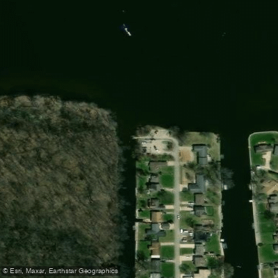
Learn how to get on Juno Lake. Uncover great paddling access points, boat ramps, and all the facilities you need for an unforgettable day on the water. Some locations shown may border or include private property. Always check property boundaries and applicable regulations before visiting. PaddleWays's Public & Private Land layer can help you plan your access with confidence.
Paddle smarter with real-time insights
Whether you're en route and conditions shift or you're looking for the best spot based on current flows, we enable you to make informed decisions on the fly.








Find Places to Paddle

Over 400,000 Places to Paddle
Every user gets free access to launch points, boat ramps, and public property parcels.


Water and weather conditions (10 day forecast)
See the best times to paddle Juno Lake and check the forecast before you go.
No forecast data available.
Paddling near Juno Lake
Elkhart River
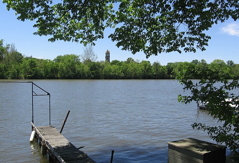
Kankakee River
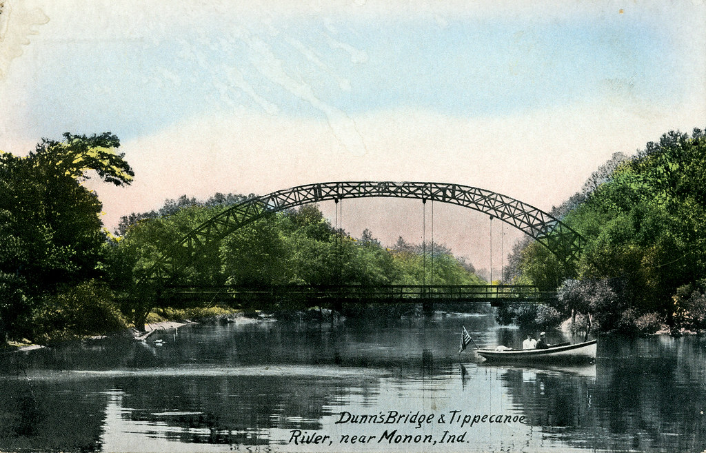
Tippecanoe River

Lake Michigan
Eel River
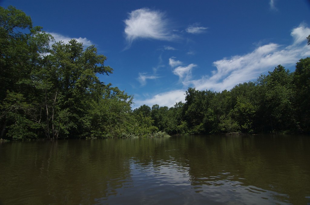
Kalamazoo River
Saint Joseph River
Pigeon River
Simonton Lake
Explore Michigan waters
Top paddling waters
Popular Cities
Loading popular cities...
Explore near Juno Lake
Access points
Nearby waters
More in Michigan

Smarter Paddling Starts in the App.
Paddleways gives you everything you need to plan smarter, paddle better, and own every trip from first launch to takeout.