Curated by PaddleWays
Waubee Lake
- Lake
Waubee Lake
- Lake
- Curated route
- 1
- Trip reports
- 5
- Public shoreline
- 0%
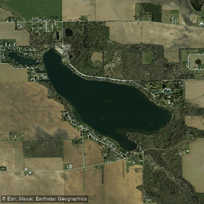
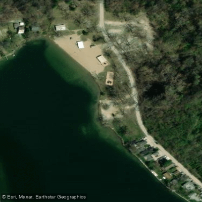
Waubee Lake is a 187-acre natural lake located in Kosciusko County, Indiana, approximately one mile southeast of Milford. The lake features a public access point with boat ramp and dock at a city-owned park in the northwest corner, where a small user fee is charged. The park includes parking for vehicles and boat trailers, portable toilets, picnic areas, and a swimming beach.
The lake reaches a maximum depth of 51 feet with an average depth of 25 feet. The water is characteristically blue-green in color with good clarity, typically ranging from 4-9 feet visibility. The bottom composition includes clay, marl, muck and sand. Water quality is excellent, as the lake is naturally unproductive with sufficient oxygen levels down to 15-20 feet in summer months.
Vegetation includes coontail and chara as dominant submersed plants, with some areas of Eurasian water milfoil that is chemically treated. Ten beds of water lilies and spatterdock covering about 4.5 acres provide wildlife habitat along portions of the shoreline. The lake supports diverse wildlife including various fish species like bluegill, crappie, largemouth bass, and northern pike.
The shoreline is primarily residential except for natural shoreline and wetlands on the east side and a small section along the south shore. Two inlets feed the lake - Hammond Ditch from Dewart Lake enters at the northeast corner, and Felkner Ditch flows in from the southeast. The lake drains via Hoopengarner Ditch to the north.
High-speed boating is prohibited on Waubee Lake, which helps maintain water quality and protect the natural shoreline from wave action. This restriction, combined with the lake's clean water and relatively light boat traffic, creates favorable conditions for paddling.
Curated routes
Popular routes to paddle
Hand-picked by the PaddleWays team, with put-ins, take-outs, paddle times and the hazards along the way.
Hazards
Hazards on Waubee Lake
No hazards are marked on Waubee Lake yet. That is not the same as none being there: if you find one, report it for the next paddler.
From the community
Waubee Lake trip reports
Real trips from PaddleWays paddlers: which route they ran, how the water was, and what to watch for.
- Trip reports
- 5
- Most paddled route
- Waubee Lake
- Most common craft
- Kayak • 100%
Loading trip reports

Ashley B.
Kayak •
Quick evening paddle- Waubee Lake
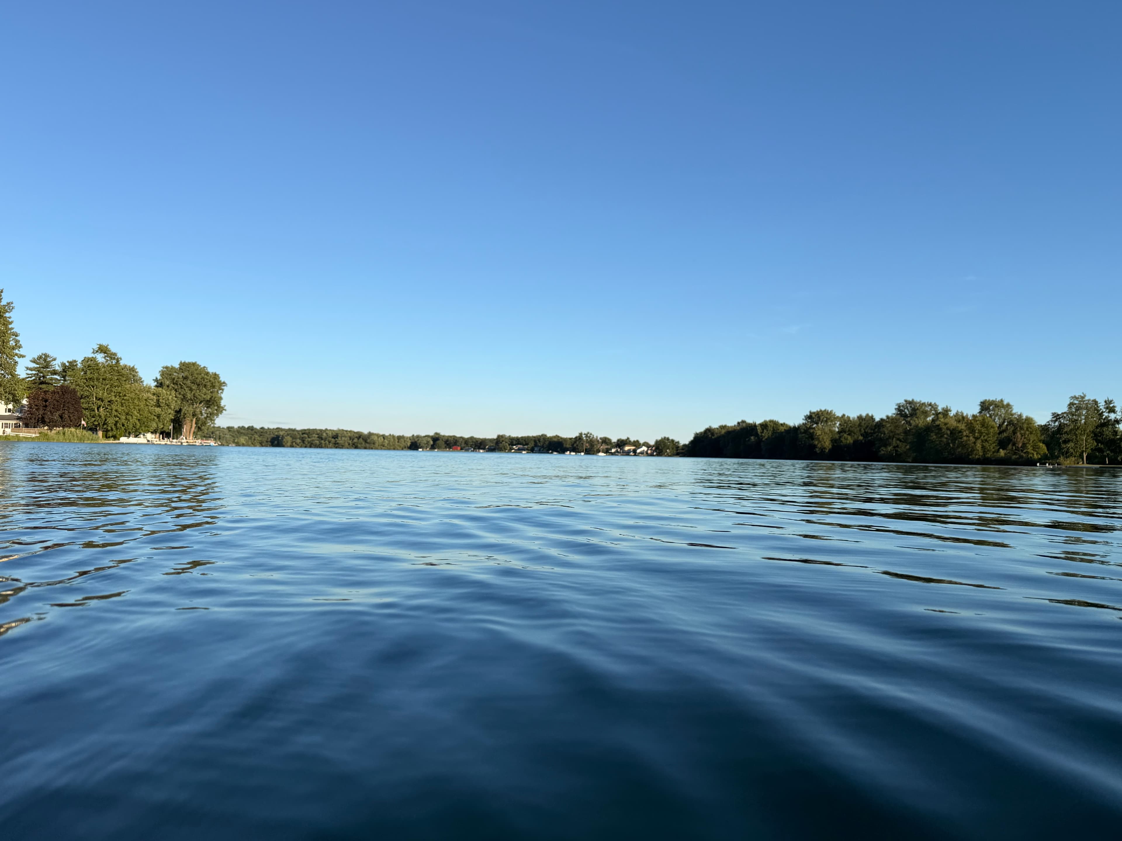
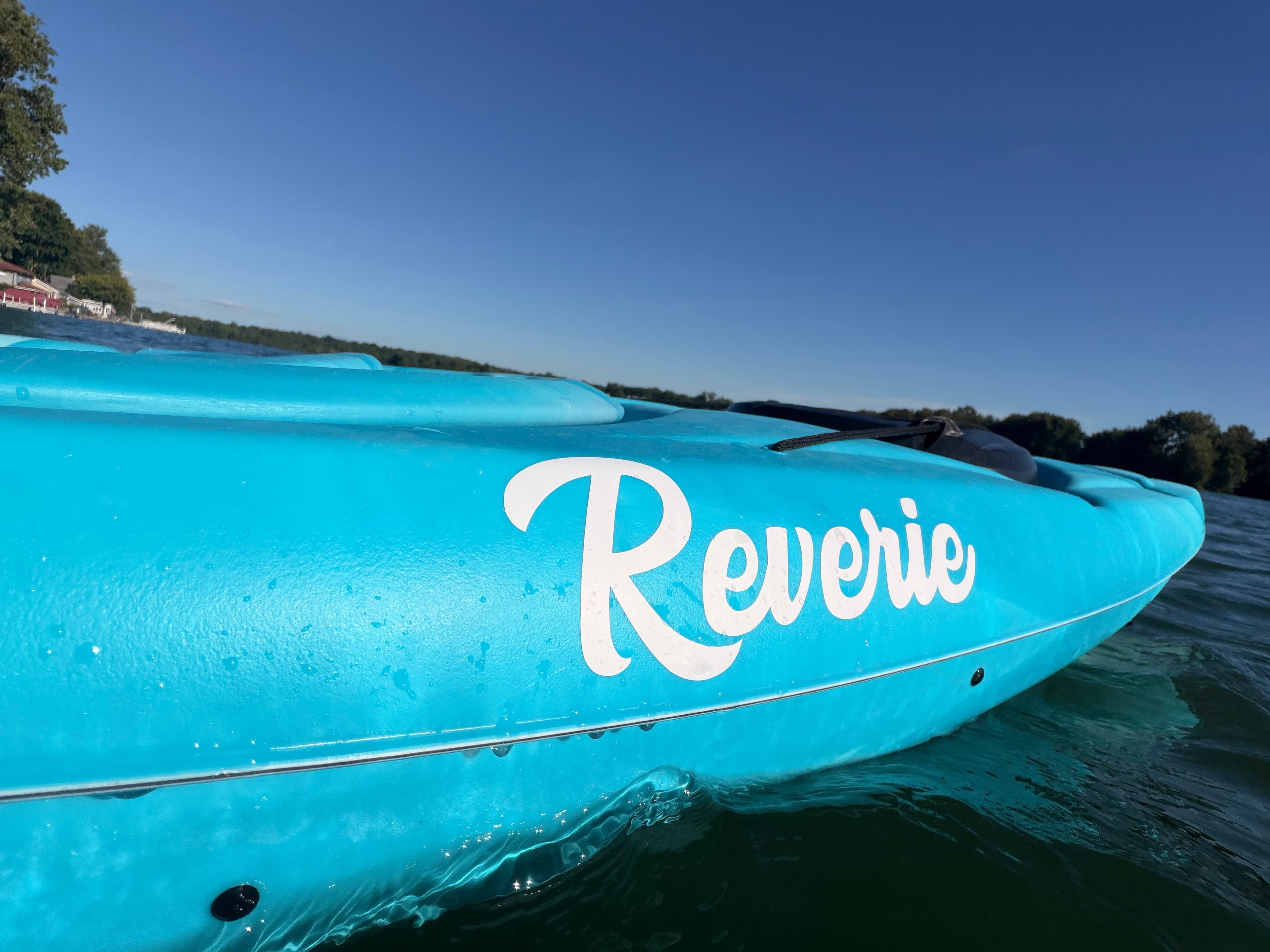
 +1
Ashley B.
Kayak •
Waubee Lake Poker Run
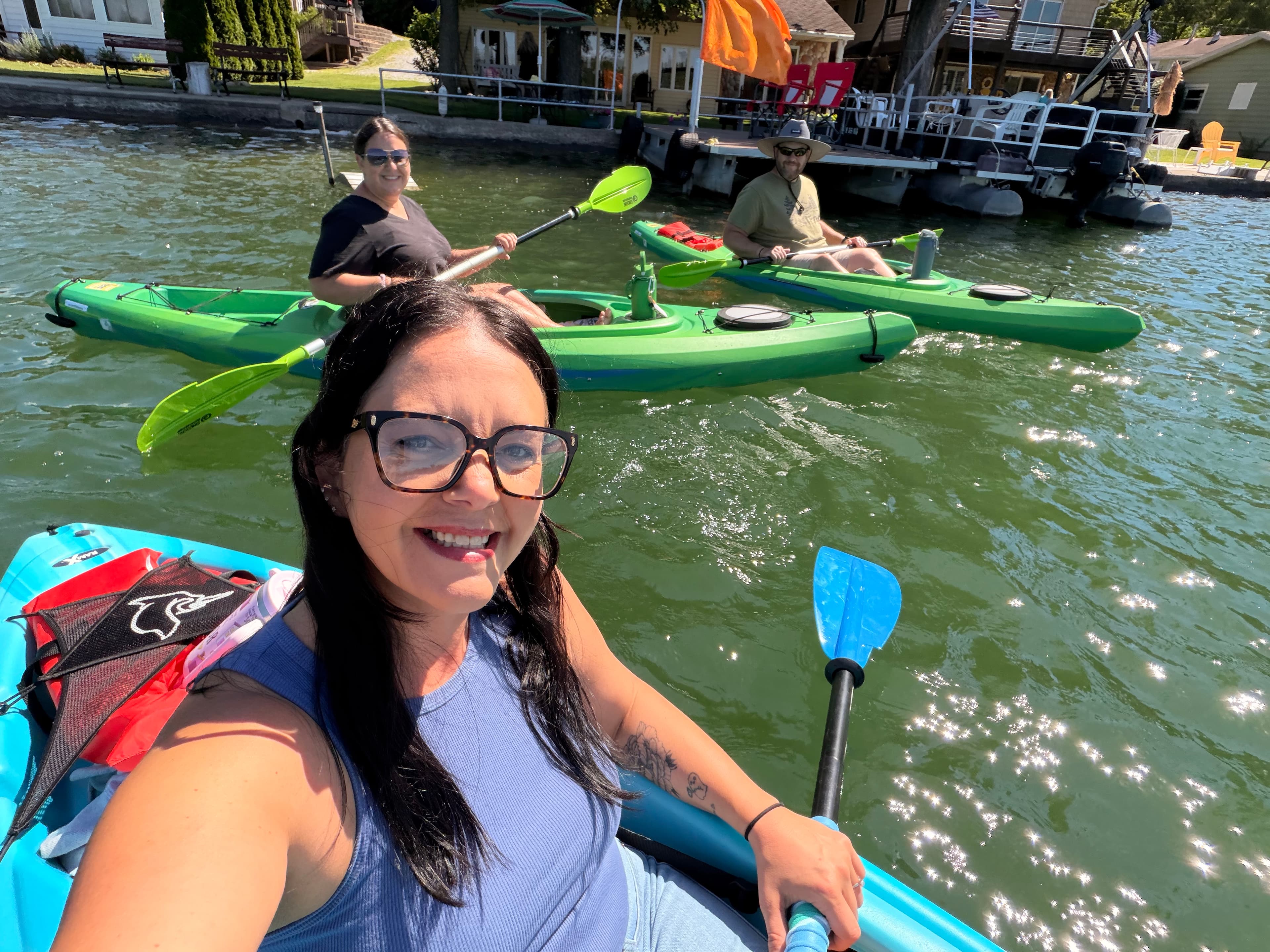
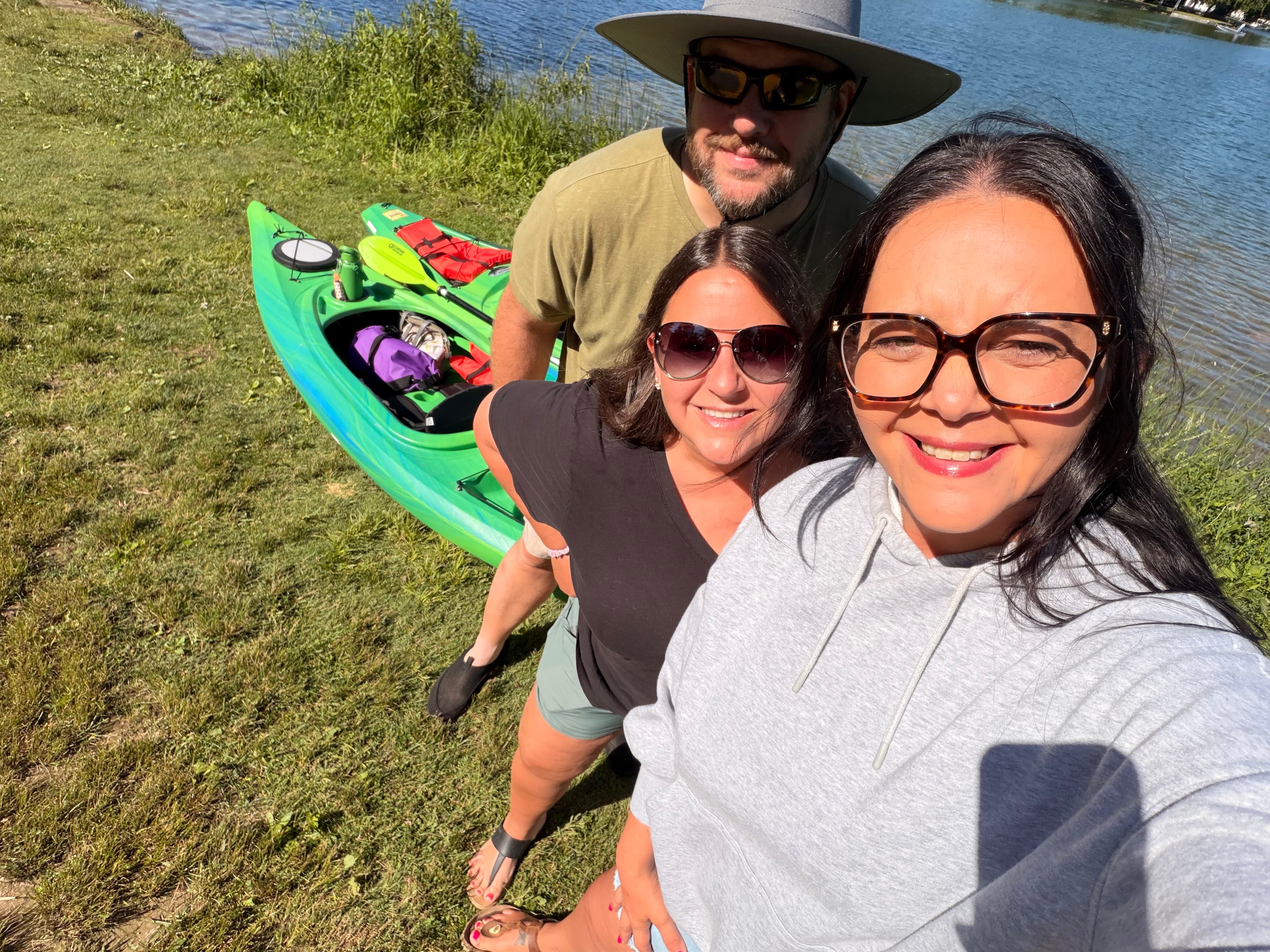
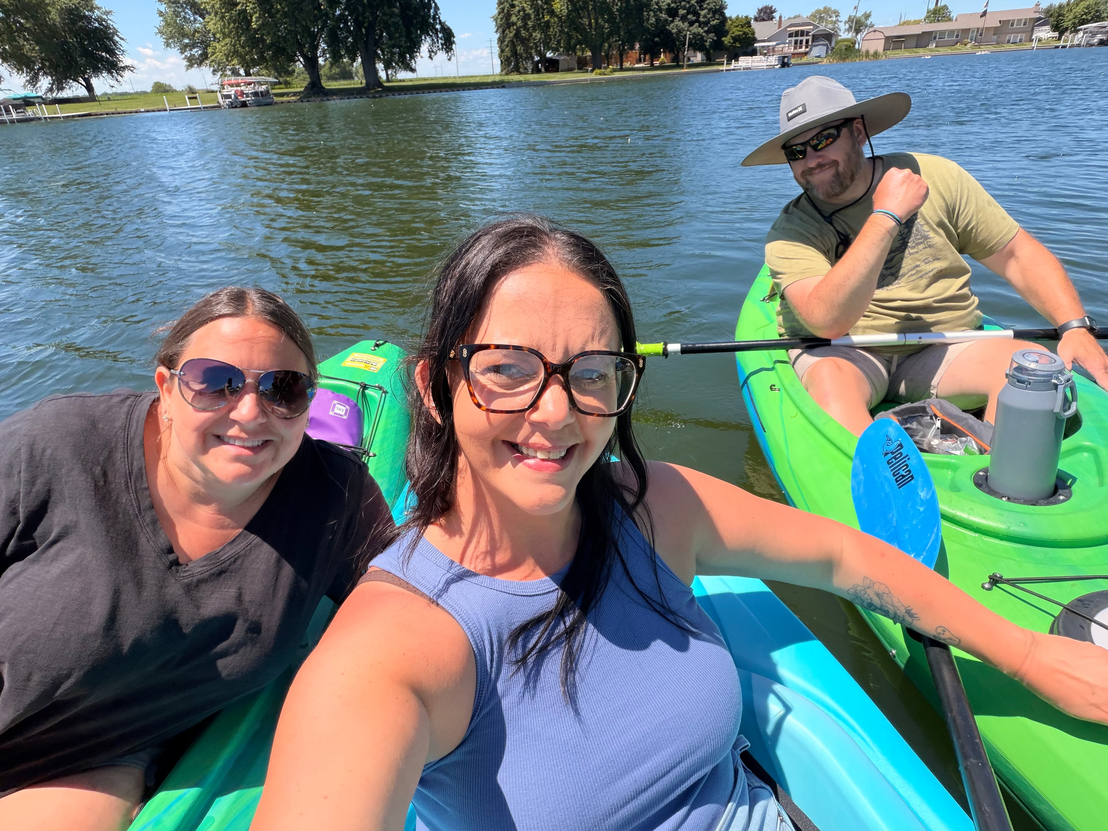 +2
Ashley B.
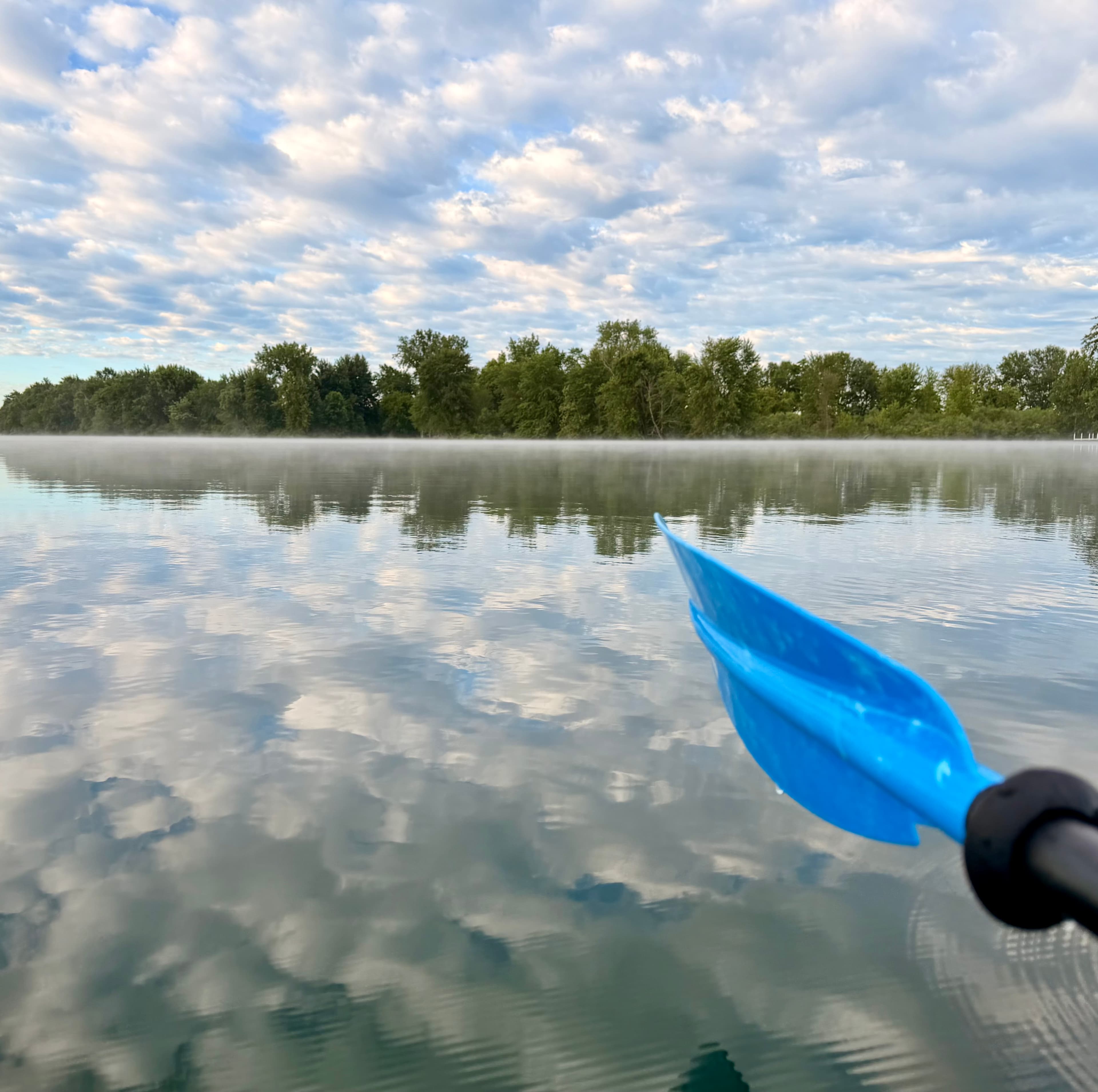
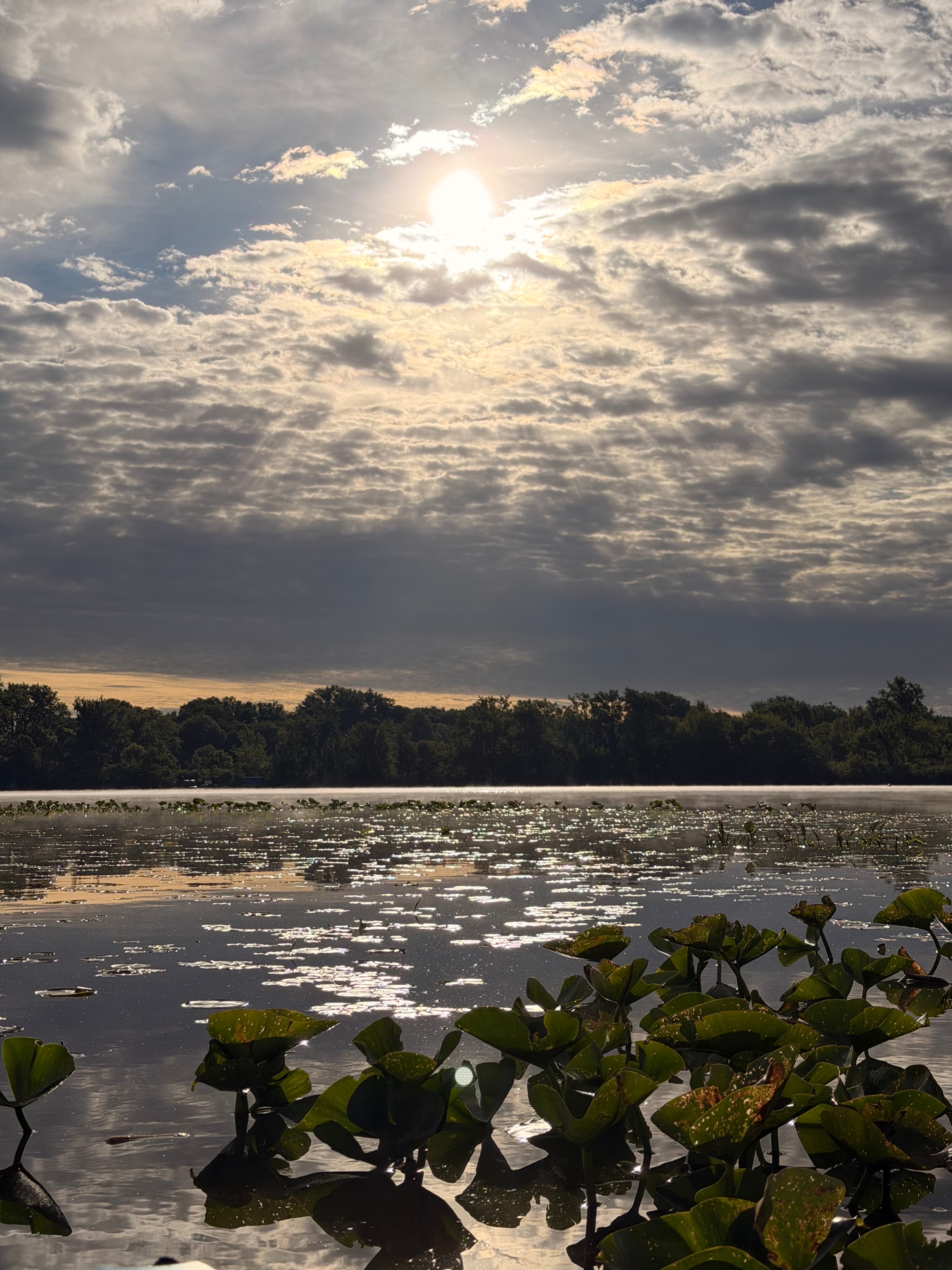
Monday morning solo paddle
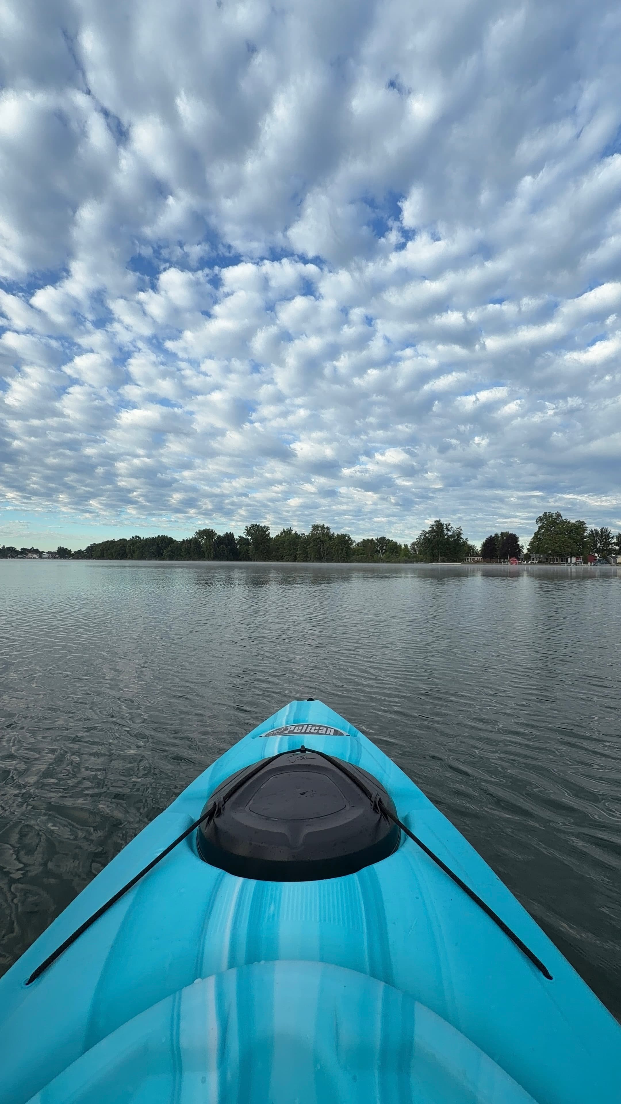
 +3
Ashley B.
Kayak •
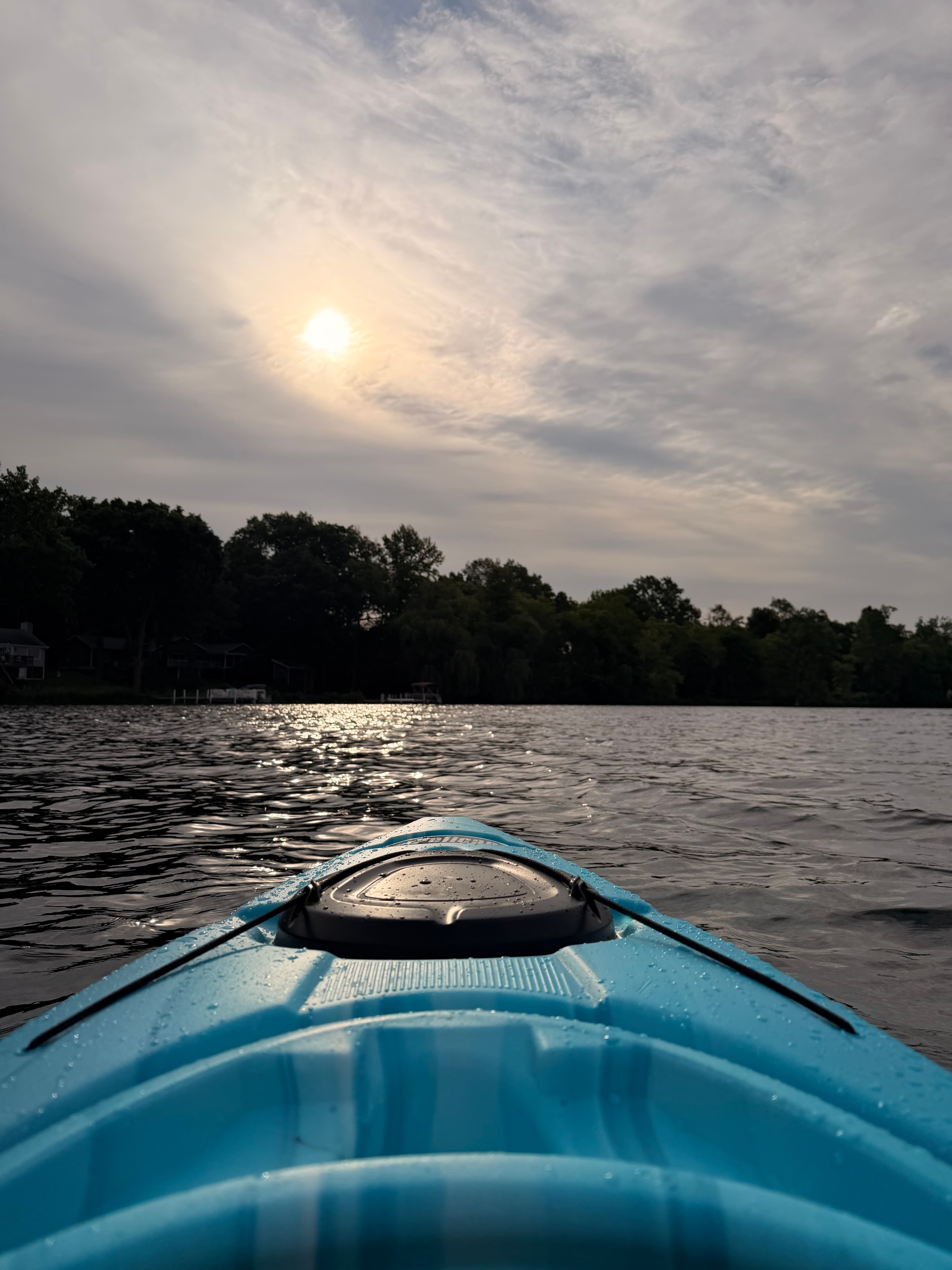
Monday Morning Solo Paddle
Water access & public shoreline
See exactly where the public can get on and off the water. Launch points and boat ramps are paired with PaddleWays' public land data so you know where you can legally land.
Public shoreline
0%of the lake's shoreline is public
- Public
- 0%
- Private
- 100%
Most of the shoreline is private. Launch, land and camp only at public access points.
Paddling conditions (10 day forecast)
Weather, wind and a verdict for each route, so you know if Waubee Lake is worth paddling today.
No forecast data available.
Paddle smarter with real-time insights
Live flows, marked hazards and fresh trip reports from paddlers who were just on the water, all in one place.







Find Places to Paddle

Over 400,000 Places to Paddle
Every user gets free access to launch points, boat ramps, and public property parcels.



Paddling near Waubee Lake
Elkhart River
Indiana
8.8 miles away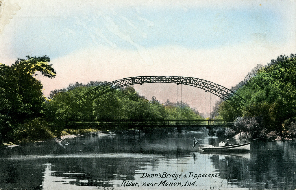
Tippecanoe River
Indiana
32.3 miles away
Kankakee River
Illinois, Indiana
80 miles away
Lake Michigan
Illinois, Indiana, Michigan, Wisconsin
181.9 miles away
Eel River
Indiana
28 miles away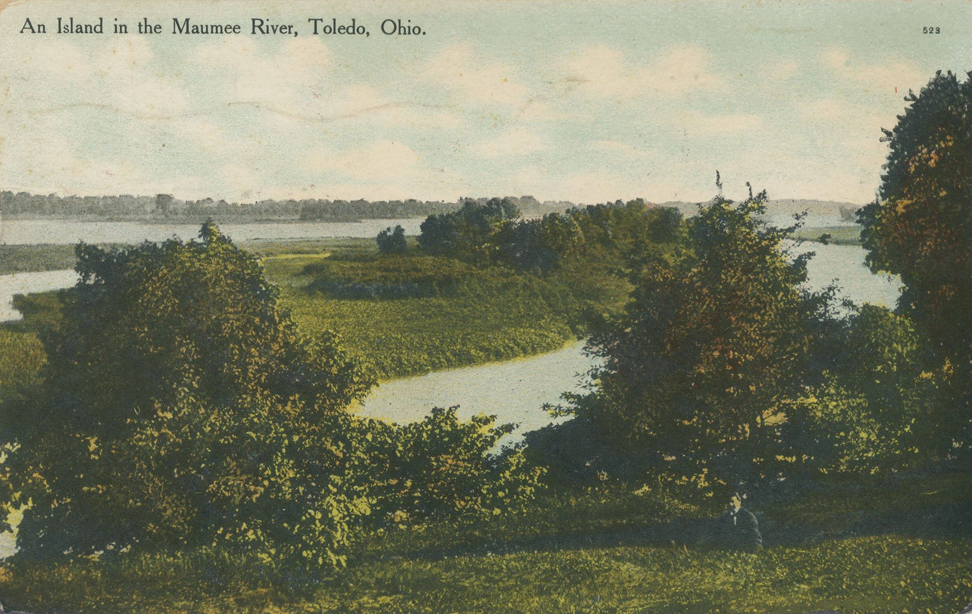
Maumee River
Indiana, Ohio
77.6 miles away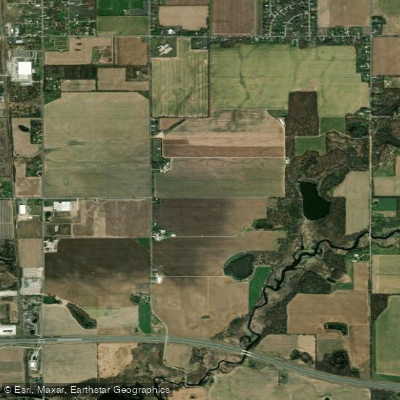
Saint Joseph River
Indiana, Michigan, Ohio
47.6 miles away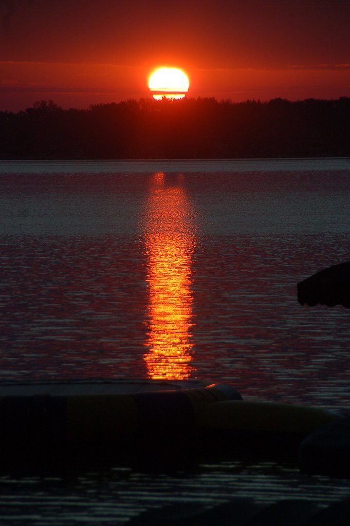
Lake Wawasee
Indiana
6.4 miles away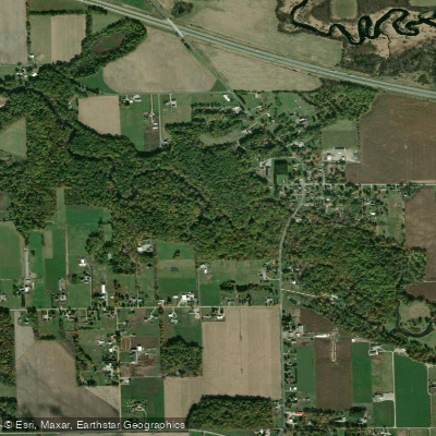
Pigeon River
Indiana, Michigan
27.9 miles away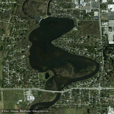
Goshen Dam Pond
Indiana
11.4 miles awayExplore Indiana waters
Top paddling waters
Popular Cities
Loading popular cities...
Explore near Waubee Lake
Paddling routes
Access points
Nearby waters
More in Indiana

Smarter Paddling Starts in the App.
PaddleWays gives you everything you need to plan smarter, paddle better, and own every trip from first launch to takeout.