Curated by PaddleWays
RouteClass I–II
- Distance
- 9.4 mi
- Paddle time
- ~3 hrs
- Best for
- Experienced paddlers
- Put-in → take-out
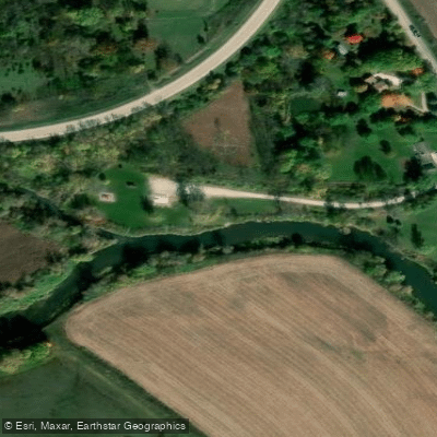
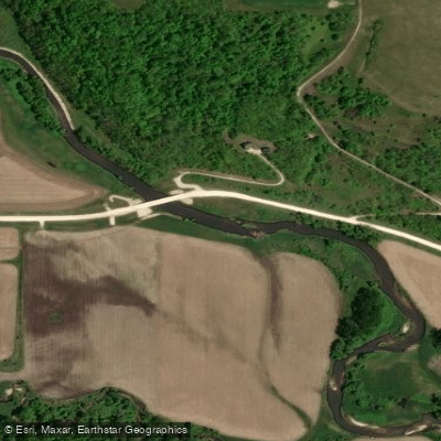
- Sixteen Access → Yellow River Access
The Yellow River flows through the rugged Driftless Area of northeastern Iowa, primarily through Winneshiek and Allamakee counties, before joining the Mississippi River near Marquette. This coldwater stream originates in southwestern Winneshiek County and courses approximately 53.5 miles through some of Iowa's most dramatic topography, carving between vegetated limestone bluffs and creating the state's longest coldwater trout fishery. The watershed covers 154,666 acres of largely undeveloped terrain, with much of the lower river protected within Yellow River State Forest.
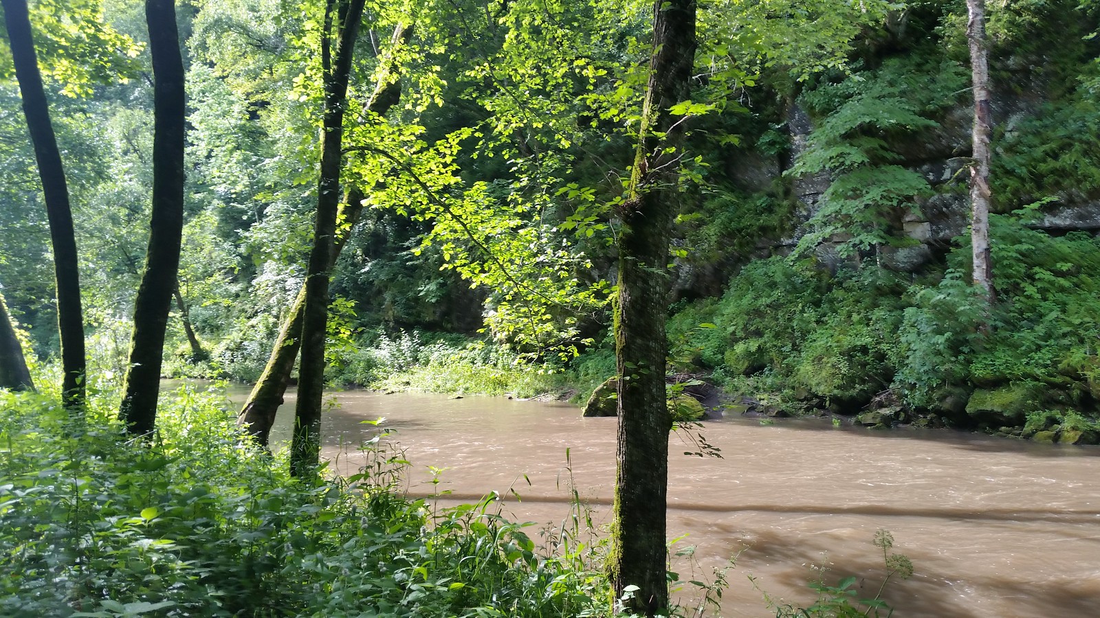
Paddlers find exceptional opportunities on the Yellow River, particularly on the section from Highway X16 (Forest Mills Road) to the Mississippi confluence. The upper reaches from Volney Road to Old Sixteen Road offer intermediate-level paddling with Class I rapids, hairpin turns, and frequent limestone outcrops. This 4.4-mile segment features swift, clear water flowing at an average gradient of 7-10 feet per mile—among the steepest in Iowa. The river typically runs 45-65 feet wide through this section, with spring-fed clarity that allows visibility to the rocky bottom. Below Old Sixteen Road, the character intensifies. The stretch from Sixteen Bridge to Ion Access presents Class II rapids through increasingly rugged terrain, while the final miles through Yellow River State Forest transition to calmer water flanked by towering bluffs rising 400 feet from the valley floor. The river maintains consistent riffles and swift current for approximately 10 miles before slowing in its final approach to the Mississippi, where it passes through Effigy Mounds National Monument.
Water levels prove critical for successful trips. The Ion gauge should read between 200-400 CFS for optimal conditions, with levels below 100 CFS creating challenging shallow sections. Spring runoff and early summer typically provide the most reliable flows, though the river drains quickly after precipitation. Winter ice and summer drought often render sections unnavigable.
The coldwater environment supports populations of brown and rainbow trout, smallmouth bass, and occasional walleye. Bald eagles nest along the corridor, while wood ducks, great blue herons, and killdeer frequent the waterway. White-tailed deer, wild turkeys, and the occasional wood turtle appear along the forested banks.
Primary access points include the Volney Canoe Launch (operated by Bigfoot Canoe Rental), Sixteen Bridge on County Road X32, Ion Road shoulder near the X36 bridge, and Old Mission Drive Access within the state forest. The town of Monona (population approximately 1,500) serves as the nearest supply point for the upper sections. Paddlers must navigate occasional strainers and be prepared for mandatory portages around private property fences. The swift current and tight turns demand solid boat control and the ability to read water. Multi-day options exist for experienced paddlers willing to camp at primitive sites within Yellow River State Forest, though most complete the river in day-trip segments.
Curated routes
Hand-picked by the PaddleWays team, with put-ins, take-outs, paddle times and the hazards along the way.
RouteClass I–II
RouteClass I
RouteClass II–III
RouteClass I
RouteClass I–II
Hazards
No paddler has reported a hazard here yet, so these are the dams, falls and big rapids on our map. Hazards change with flows and storms, so check them before you launch.
From the community
Real trips from PaddleWays paddlers: which route they ran, how the flows were, and what to watch for.
Loading trip reports
Lucas B.
Kayak •
Sixteen Bridge to Yellow River State Forest
Old 16 to Ion Yellow River
See exactly where the public can get on and off the river. Launch points and boat ramps are paired with PaddleWays' public land data so you know where you can legally land.
Public shoreline
15%of the river's shoreline is public
Most of the riverbank is private. Launch, land and camp only at public access points.
Flows, weather and a route-by-route verdict, so you know which stretch of the Yellow River is worth paddling today.
Live flows, marked hazards and fresh trip reports from paddlers who were just on the water, all in one place.





Every user gets free access to launch points, boat ramps, and public property parcels.

Loading popular cities...
PaddleWays gives you everything you need to plan smarter, paddle better, and own every trip from first launch to takeout.