Black River
Black River
- Boat Ramps
- 15
- Access Points
- 17
- Campsites
- 16
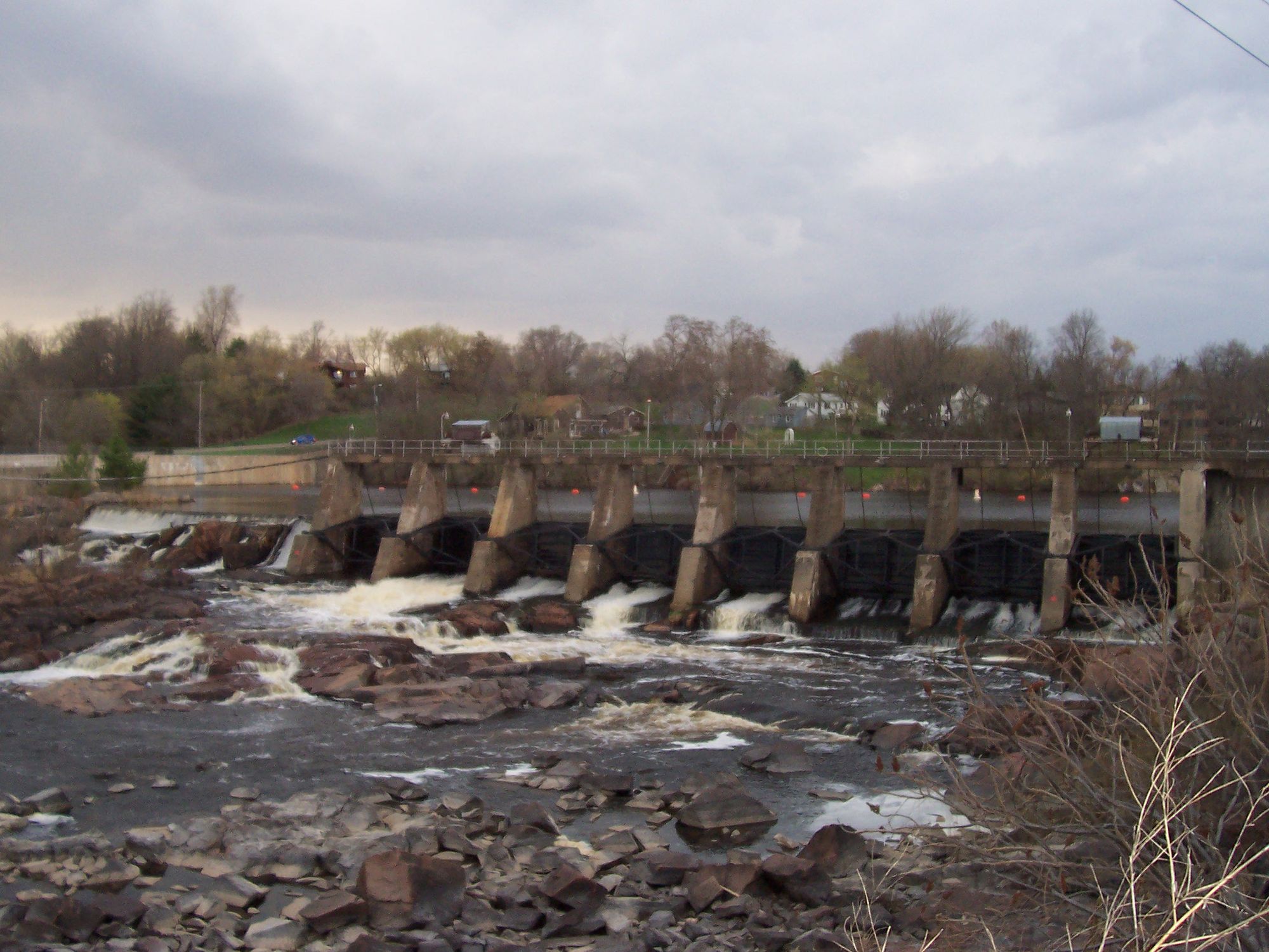
The Black River originates at Black Lake in Taylor County, Wisconsin, flowing nearly 200 miles before joining the Mississippi River near La Crosse. Named for its distinctive root beer-colored water—a result of tannins leaching from upstream wetlands—this river descends from the Northern Highland through Clark County's rugged terrain, then transitions dramatically as it enters the Driftless Area of Jackson County and beyond.
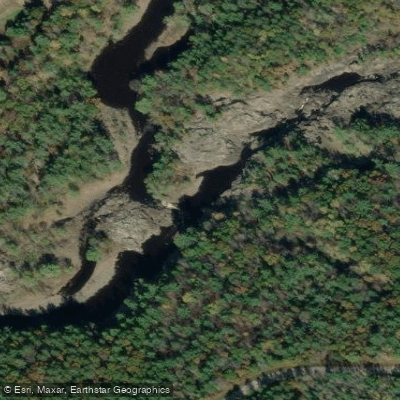
The river's character changes substantially along its course. In Taylor and Clark counties, paddlers encounter a rocky, pool-and-drop river with Class I-II rapids, granite outcrops, and boulder gardens. The gradient averages 6-9 feet per mile through much of Clark County, creating continuous riffles and technical whitewater sections, particularly between Greenwood and Neillsville. Notable rapids include Hemlock Rapids, Rocky Rapids, and the challenging Red Granite Rapids near Lake Arbutus. Lake Arbutus itself, created by the Hatfield Dam, interrupts the river's flow with a 3-mile impoundment. Below the dam, expert paddlers find Class III-IV whitewater in a dramatic granite gorge.
Downstream of Black River Falls in Jackson County, the river transforms entirely. The gradient drops to approximately 1.7 feet per mile, creating a wide, sandy-bottomed stream ideal for family paddling and multi-day camping trips. This lower section features extensive sandbars, towering sandstone cliffs, and numerous side canyons worth exploring on foot. Halls Creek, Morrison Creek, and Robinson Creek enter as tributaries, each offering exceptional paddling in their own right. The final miles through Trempealeau and La Crosse counties wind through the Van Loon Wildlife Area's floodplain forest before merging with the Mississippi.
Paddling opportunities span all skill levels. Beginners find excellent flatwater from Black River Falls to North Bend, while intermediate paddlers enjoy the upper river's Class I-II rapids from Greenwood through Neillsville. Advanced whitewater enthusiasts target the Hatfield Dam gorge during scheduled recreational releases. Water levels fluctuate significantly—the Neillsville gauge should read at least 200 cfs for upstream sections, while the lower river remains navigable year-round except during extreme drought. Spring through early summer provides optimal conditions upstream, with reliable water levels and blooming wildflowers. The lower river shines in late summer and fall when sandbars emerge fully and autumn colors frame the sandstone bluffs.
Wildlife includes bald eagles, wood ducks, river otters, and occasional black bears in the forested upper reaches. The Bureau of Land Management manages approximately 25 public islands in Clark County, available for primitive camping. Below Black River Falls, sandbar camping is traditional and generally accepted.
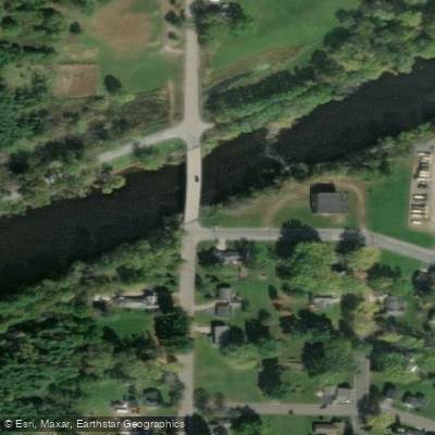
Major access points include Greenwood Park, Neillsville, Hatfield, Black River Falls (Bruce Cormican Landing), Irving Landing, Melrose, and North Bend. Commercial outfitters operate primarily on the lower river between Black River Falls and North Bend.
The river played a crucial role in Wisconsin's logging era, with massive pine log drives running from the 1840s through early 1900s. Evidence of this history—including old dam remnants and logging artifacts—appears throughout the watershed. The Black River State Forest, established after logging depleted the forests, now protects significant portions of the corridor.
Water access, boat ramps & amenities
Learn how to get on Black River. Uncover great paddling access points, boat ramps, and all the facilities you need for an unforgettable day on the water. Some locations shown may border or include private property. Always check property boundaries and applicable regulations before visiting. PaddleWays's Public & Private Land layer can help you plan your access with confidence.
Paddle smarter with real-time insights
Whether you're en route and conditions shift or you're looking for the best spot based on current flows, we enable you to make informed decisions on the fly.








Find Places to Paddle

Over 400,000 Places to Paddle
Every user gets free access to launch points, boat ramps, and public property parcels.


Water and weather conditions (10 day forecast)
See the best times to paddle Black River and check the forecast before you go.
BLACK RIVER DS ST HWY 54 AT BLACK RIVER FALLS, WI
All Flow Stations
Paddling near Black River
Chippewa River
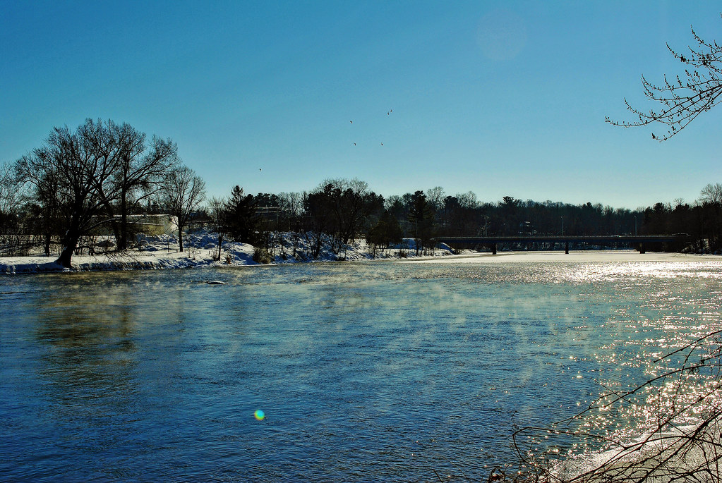
Red Cedar River
Lake Chetek

Mississippi River
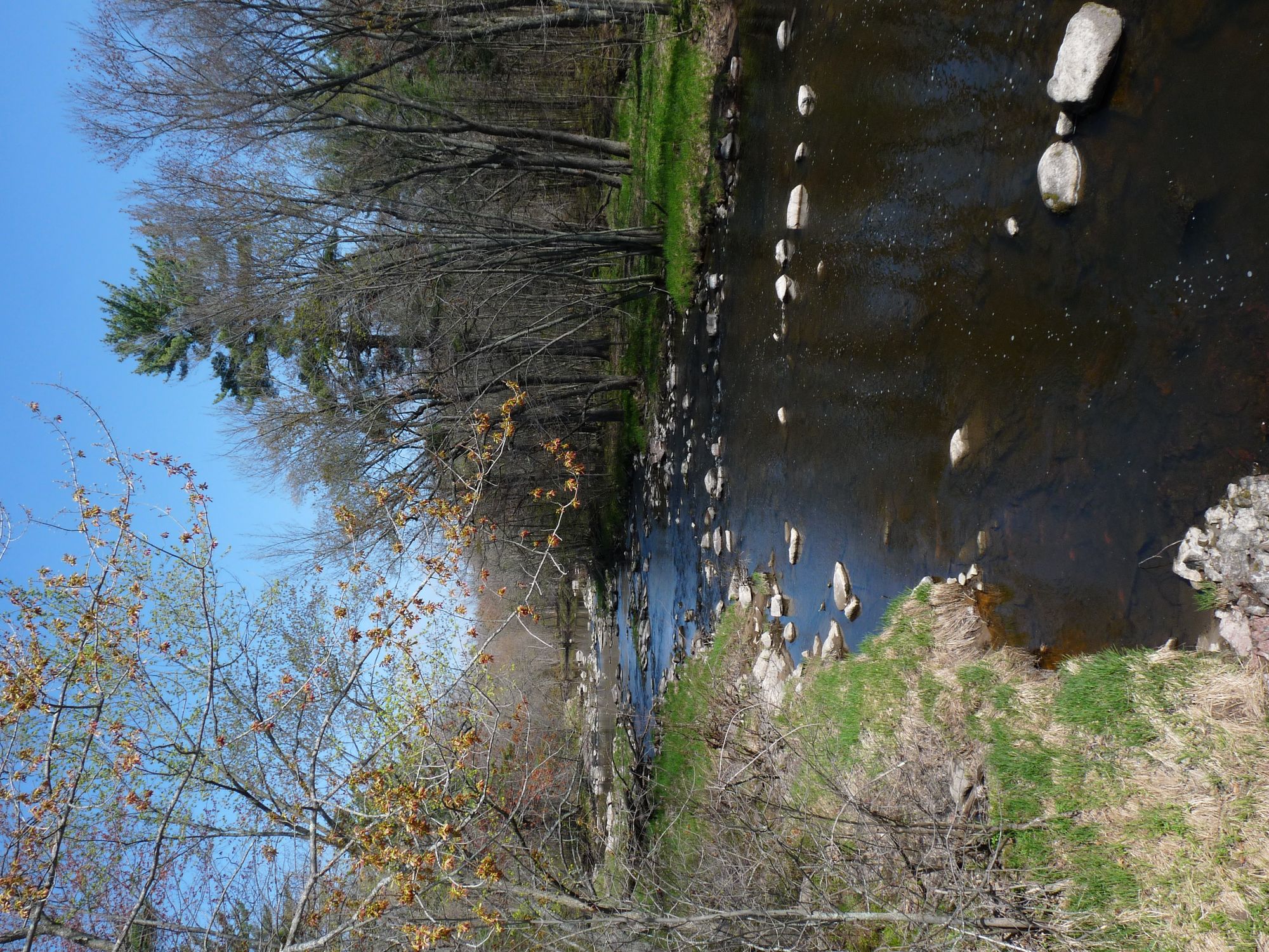
Yellow River
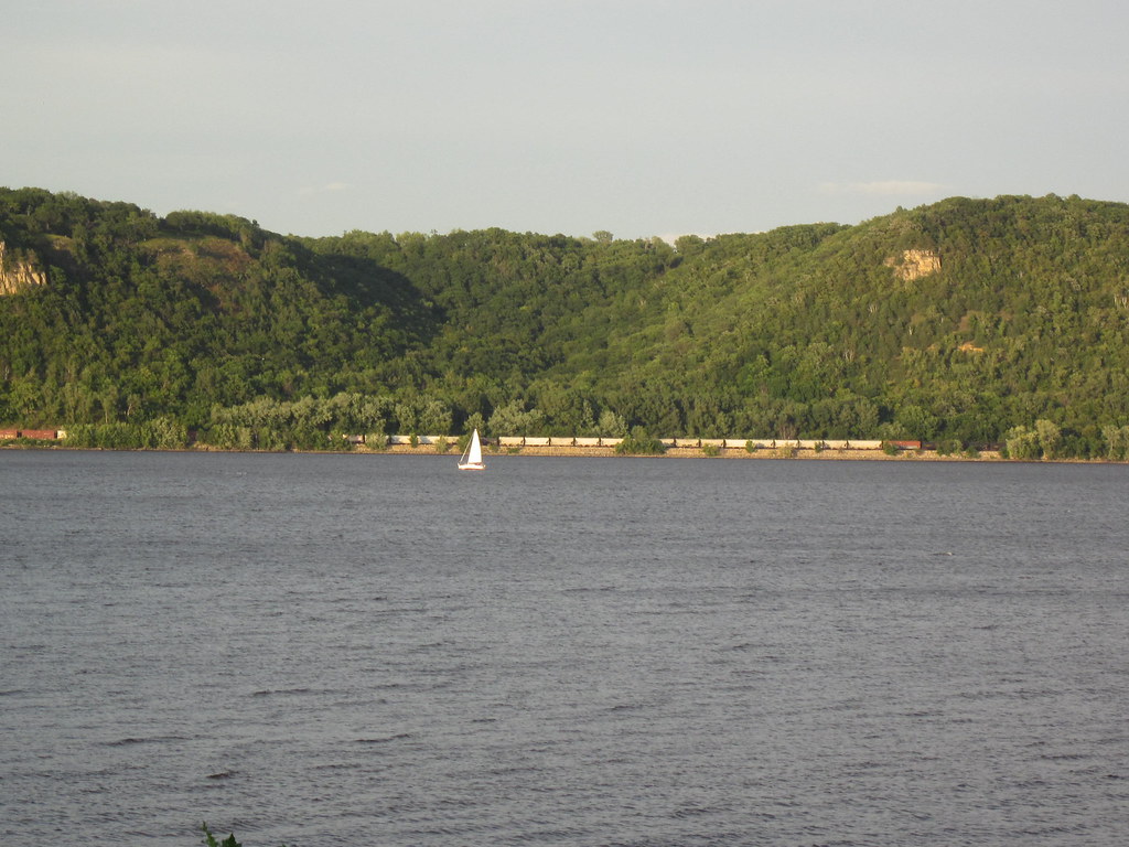
Lake Pepin
Flambeau River

Willow River
Kinnickinnic River
Explore Wisconsin waters
Top paddling waters
Popular Cities
Loading popular cities...
Explore near Black River
Access points
Nearby waters
More in Wisconsin

Smarter Paddling Starts in the App.
Paddleways gives you everything you need to plan smarter, paddle better, and own every trip from first launch to takeout.