Curated by PaddleWays
RouteClass I
- Distance
- 1.7 mi
- Paddle time
- ~0.5 hrs
- Best for
- Kayak, canoe
- Put-in → take-out
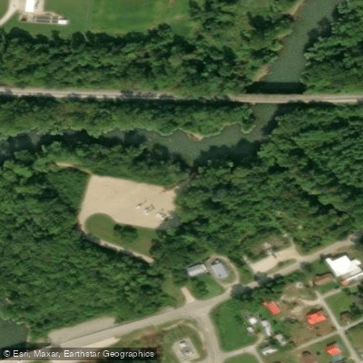
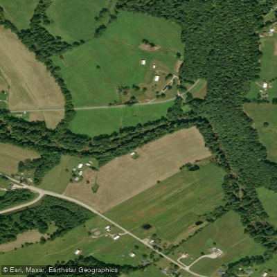
- McDowells Creek Park Boat Ramp → Mill Pond Creek Boat Ramp
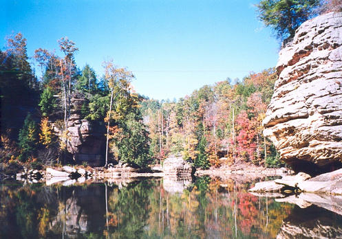
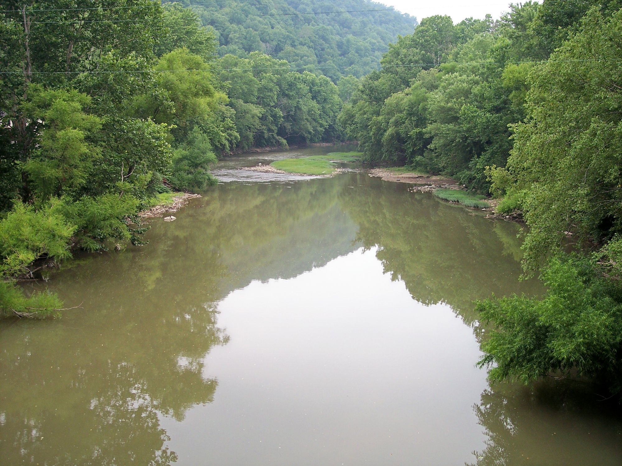
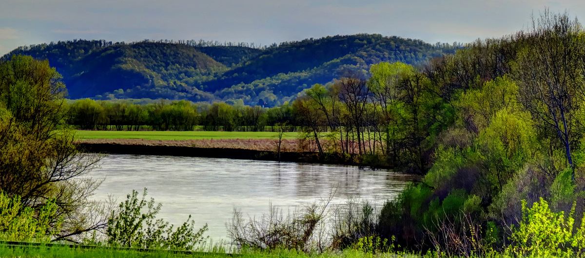
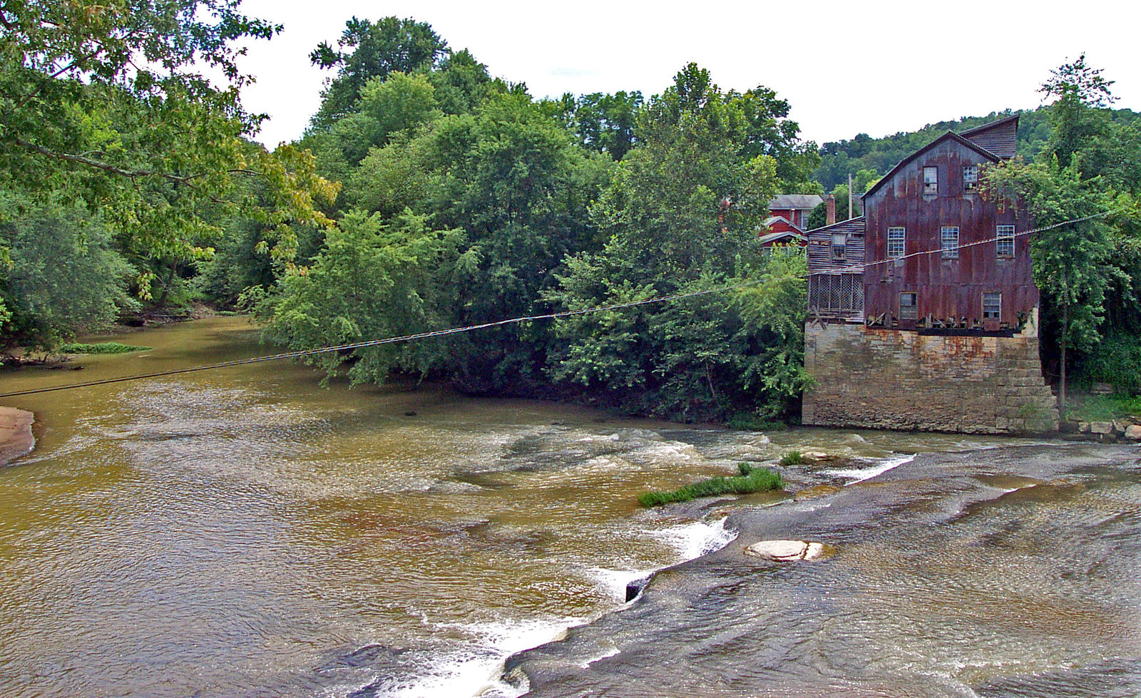
Kinniconick Creek is a picturesque waterway in northeastern Kentucky, flowing generally northeast for approximately 31.5 miles before joining the Ohio River near Garrison. This tributary of the Ohio drains a rural watershed characterized by forested hills and agricultural valleys. The creek offers several distinct paddling sections, ranging from its upper reaches near Kinniconick to its confluence with the Ohio River.
The upper section from Leatherwood Branch to Puncheon (13.1 miles) features alternating shallow riffles and deeper pools, with some stretches extending 150 yards or more. As the creek descends in tiers, paddlers encounter a varied landscape of gravel bars and wider basins. Difficulty ranges from Class I to II, making Kinniconick Creek suitable for beginner to intermediate paddlers. The creek is best suited for canoes, kayaks, and small john boats.
Water levels can fluctuate seasonally, so checking local conditions before a trip is advisable. Spring and early summer typically offer the most reliable flows. The surrounding ecosystem supports diverse flora and fauna typical of the Appalachian region. Paddlers may spot various fish species, as the creek is known for its fishing opportunities.
Key access points include Leatherwood Branch Park Access, located about a mile south of Kinniconick on KY-59, Puncheon/Pipe Lick, McDowells Creek Park Access, Mill Pond Creek Access, and Garrison Ramp at the Ohio River confluence. The nearby town of Garrison serves as a convenient base for trips.
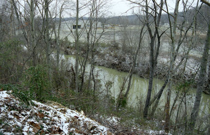
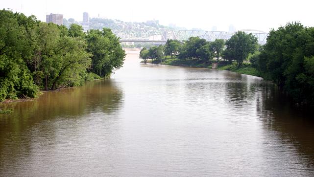
As paddlers approach the lower sections, they should be aware that Ohio River water can back up into Kinniconick Creek, potentially affecting water quality and flow characteristics. This influence is particularly noticeable in the final 2.7-mile stretch from Mill Pond to Garrison. The creek likely played a role in early settlement and transportation in the region.
For those interested in multi-day adventures, the full length of Kinniconick Creek could be paddled over 2-3 days, with potential campsites along the banks. However, paddlers should verify local regulations and property boundaries before planning overnight stays.
Safety considerations include being prepared for variable water conditions, especially in the lower sections where Ohio River influence is present. As with any paddling trip, wearing a personal flotation device is essential. Kinniconick Creek offers a quintessential Kentucky paddling experience, combining natural beauty, gentle rapids, and a sense of rural tranquility as it winds its way to the mighty Ohio River.
Curated routes
Hand-picked by the PaddleWays team, with put-ins, take-outs, paddle times and the hazards along the way.
RouteClass I
RouteClass I–II
RouteClass I
Hazards
No hazards are marked on Kinniconick Creek yet. That is not the same as none being there: if you find one, report it for the next paddler.
From the community
Nobody has shared a trip on Kinniconick Creek yet. Paddle it, then tell the next paddler how it went.
See exactly where the public can get on and off the river. Launch points and boat ramps are paired with PaddleWays' public land data so you know where you can legally land.
Public shoreline
1%of the river's shoreline is public
Most of the riverbank is private. Launch, land and camp only at public access points.
Flows, weather and a route-by-route verdict, so you know which stretch of the Kinniconick Creek is worth paddling today.
No forecast data available.
Live flows, marked hazards and fresh trip reports from paddlers who were just on the water, all in one place.





Every user gets free access to launch points, boat ramps, and public property parcels.



Loading popular cities...
PaddleWays gives you everything you need to plan smarter, paddle better, and own every trip from first launch to takeout.