Curated by PaddleWays
RouteClass II–III
- Distance
- 8.1 mi
- Paddle time
- ~2 hrs
- Put-in → take-out
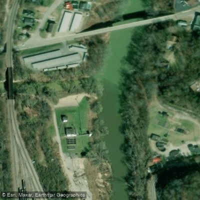
- Paintsville Tailwater Boat Ramp → Paintsville River Boat Ramp
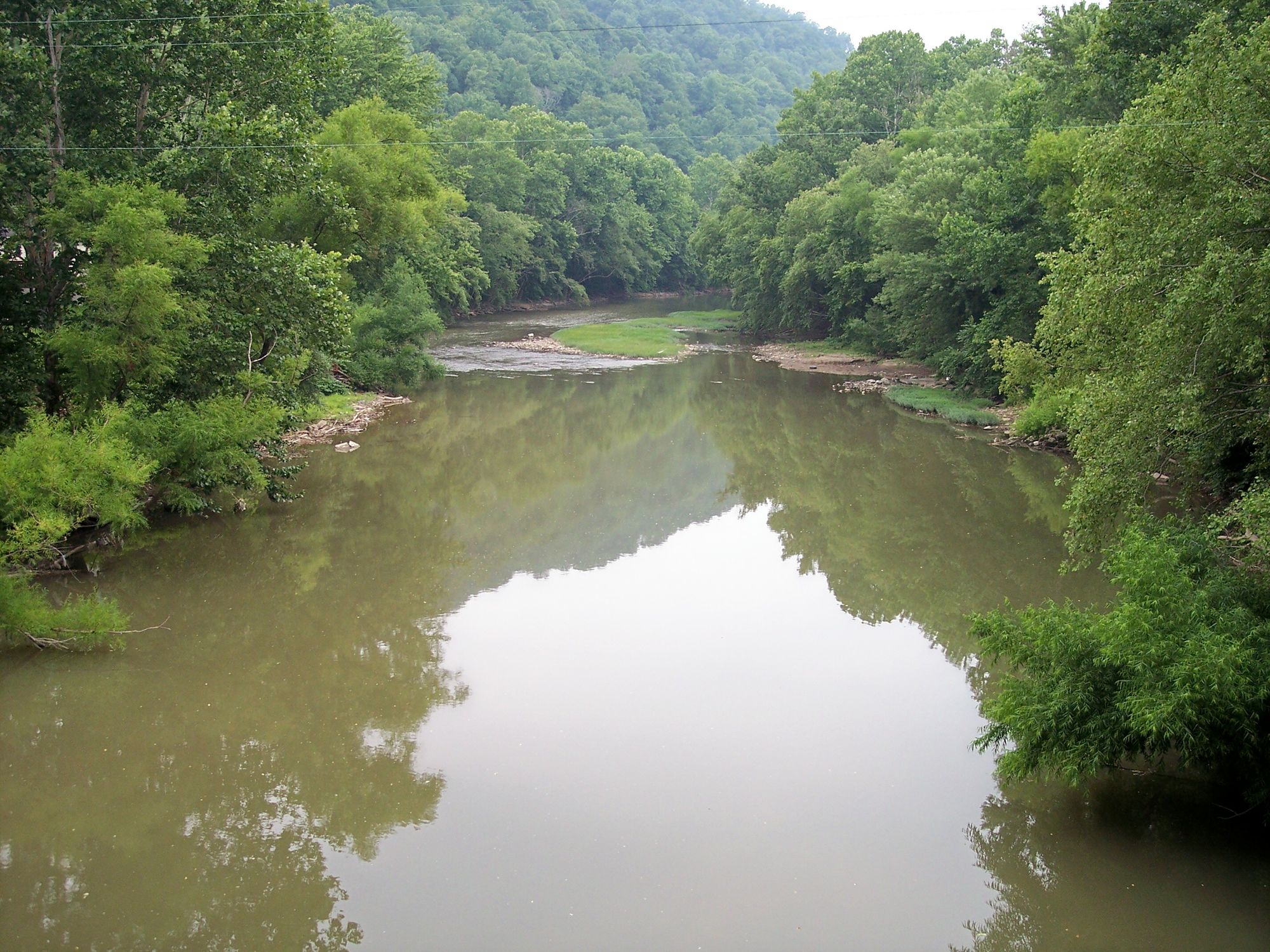
Paint Creek originates in eastern Morgan County near the community of Crockett, formed at the confluence of Open Fork and Little Paint Creek. The stream flows generally northeast through the rugged Appalachian terrain, passing through Moon and Relief in Morgan County before entering Johnson County. The creek's name derives from colorful Adena Indian ideographs that were historically painted on white birch trees and rocks along its banks.
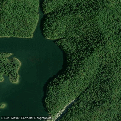
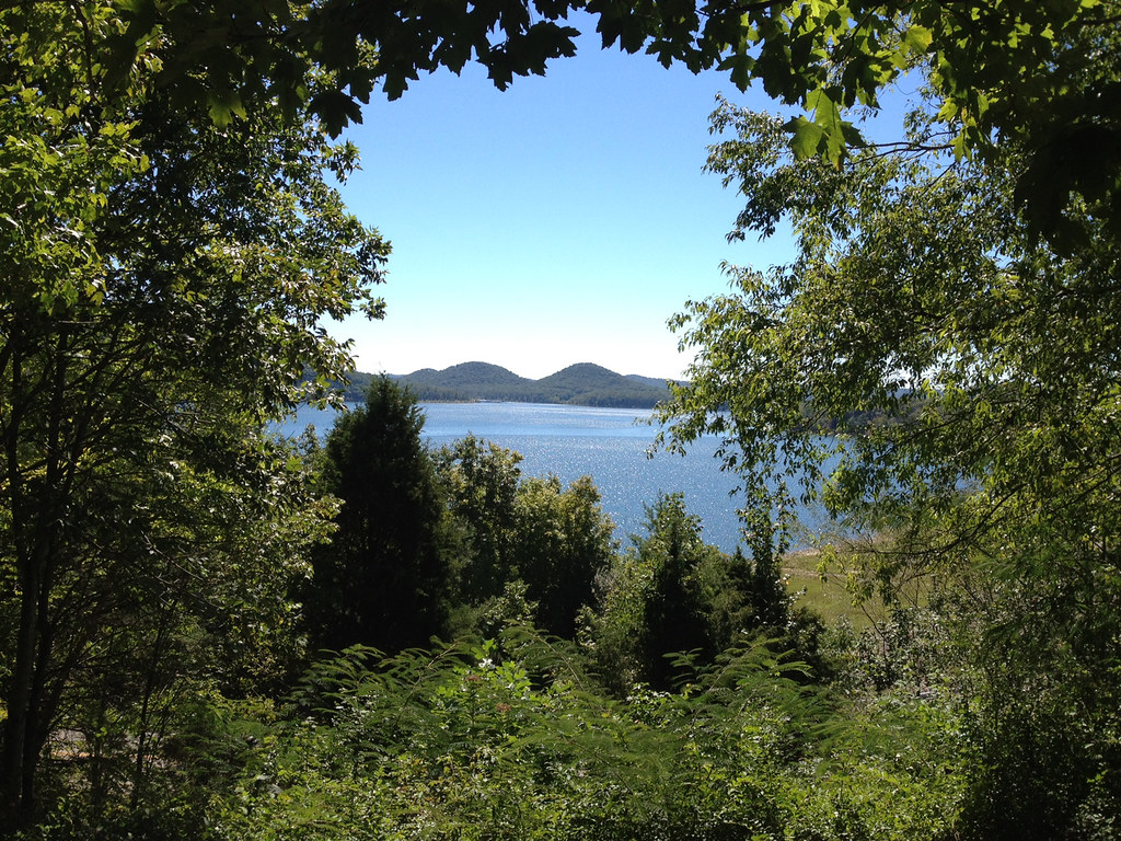
The creek's character changed dramatically in 1983 when the U.S. Army Corps of Engineers impounded a portion to create Paintsville Lake, a flood-control reservoir. This 1,140-acre impoundment now defines the creek's middle section, offering exceptionally clear water—often clear enough to see the bottom—with depths reaching 100 feet in places. Below the dam, Paint Creek continues through Johnson County for approximately 7.5 miles before joining the Levisa Fork of the Big Sandy River at the town of Paintsville.
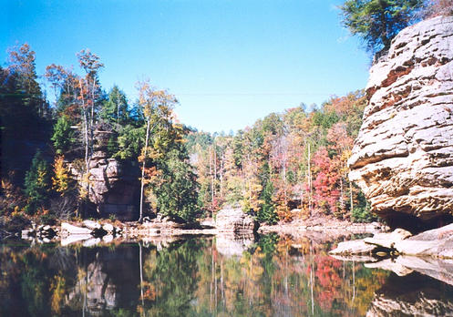
Paddling opportunities exist primarily in two distinct sections. The reservoir itself provides calm-water paddling ideal for all skill levels, including beginners and stand-up paddleboarders. A popular 4-mile round-trip route runs from the marina to distinctive twin rock towers. The lake's protected waters and scenic forested shorelines make it suitable for day trips or extended camping excursions.
Below the dam, Paint Creek offers a more adventurous float through private lands. This 7.5-mile section from the dam to Paintsville features natural banks, forest scenery, and limestone cliffs. While no formal boat ramp exists at the dam, canoes and kayaks can be carried to the water. Paddlers willing to venture downstream encounter fewer people and can fish for both trout and smallmouth bass. The take-out is located on River Road at the old Paintsville Water Plant.
The tailwater section below the dam supports Kentucky's only trout fishery in Johnson County, with monthly stockings of rainbow trout from April through November and periodic releases of brown trout. Downstream, smallmouth bass become increasingly common, with occasional walleye. The creek supports various aquatic species adapted to both the cold tailwater and warmer downstream sections.
Paintsville Lake State Park provides comprehensive facilities including a four-lane launch ramp, marina, 32 developed campsites, 10 primitive sites, and picnic areas. The park is located at 1581 Kentucky Route 2275 in Staffordsville. No fees are required for lake access, and dogs are permitted.
Water levels in the creek section fluctuate based on dam releases and rainfall, creating variable conditions from shallow riffles to deeper, faster flows. The lake remains paddleable year-round, though spring through fall offers the most comfortable conditions. Winter paddling is possible but requires appropriate cold-water precautions.
Curated routes
Hand-picked by the PaddleWays team, with put-ins, take-outs, paddle times and the hazards along the way.
RouteClass II–III
Hazards
No paddler has reported a hazard here yet, so these are the dams, falls and big rapids on our map. Hazards change with flows and storms, so check them before you launch.
From the community
Nobody has shared a trip on Paint Creek yet. Paddle it, then tell the next paddler how it went.
See exactly where the public can get on and off the river. Launch points and boat ramps are paired with PaddleWays' public land data so you know where you can legally land.
Public shoreline
60%of the river's shoreline is public
Flows, weather and a route-by-route verdict, so you know which stretch of the Paint Creek is worth paddling today.
Live flows, marked hazards and fresh trip reports from paddlers who were just on the water, all in one place.





Every user gets free access to launch points, boat ramps, and public property parcels.


Loading popular cities...
PaddleWays gives you everything you need to plan smarter, paddle better, and own every trip from first launch to takeout.