Curated by PaddleWays
RouteClass I–II
- Distance
- 12.8 mi
- Paddle time
- ~4.5 hrs
- Best for
- Beginners, intermediate paddlers
- Put-in → take-out
- Olive Hill Boat Ramp → Carter Caves State Park Boat Ramp
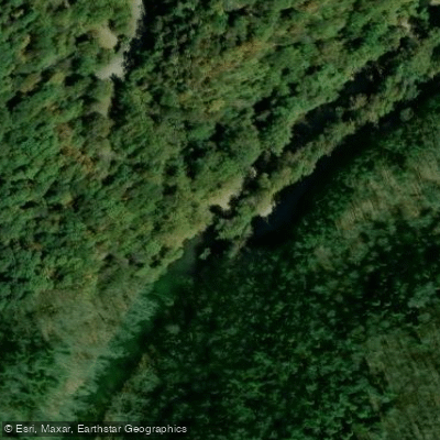
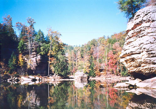
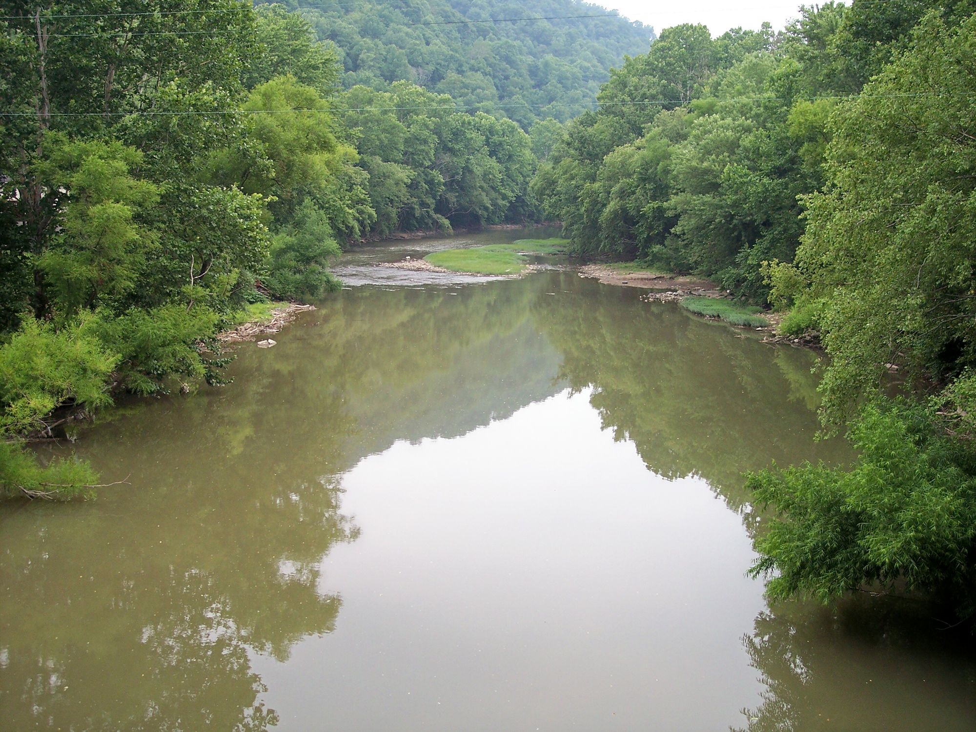
Tygarts Creek is a scenic waterway in northeastern Kentucky, originating in Carter County and flowing northward to join the Ohio River. This picturesque stream carves its way through limestone bedrock, creating one of Kentucky's most beautiful gorges. The creek offers excellent paddling opportunities, with the most popular section being the 12.2-mile Tygarts Creek Gorge from Olive Hill to Carter Caves State Resort Park. This stretch features a mix of calm waters and mild Class I-II rapids, making it suitable for beginner to intermediate paddlers. The average gradient is 5 feet per mile, providing a gentle but engaging float. Paddlers can expect difficulty levels ranging from Class I to II, requiring basic moving water skills. The creek is generally narrow, averaging about 25 feet wide, which adds to its intimate feel and scenic beauty.
Spring and early summer are ideal times for paddling Tygarts Creek, as water levels tend to be more reliable. Late summer and fall can see lower water levels, potentially requiring portaging in some areas. The surrounding landscape is rich in biodiversity, with towering slate gray limestone bluffs lining the banks. The area is home to various wildlife, including numerous bird species and possibly some small mammals and reptiles typical of Kentucky's forests.
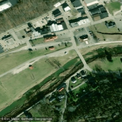
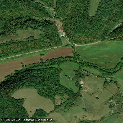
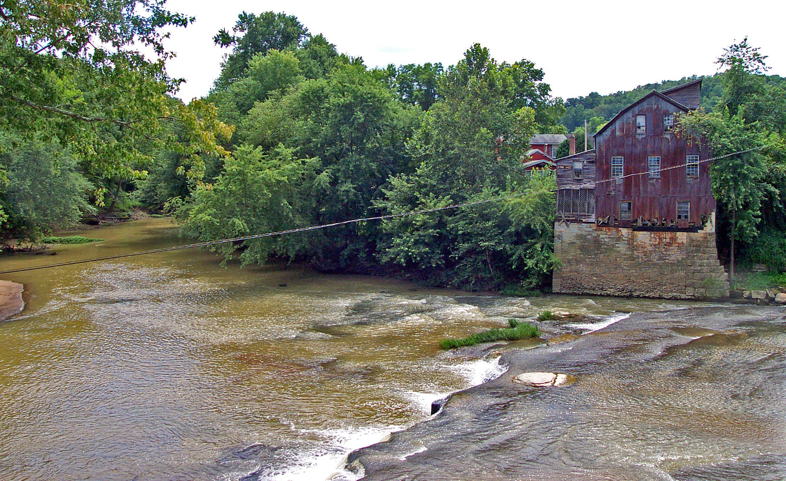
Key points of interest include the dramatic limestone gorge itself, occasional small caves, and a suspension bridge. Carter Caves State Resort Park, located at the take-out point of the main paddling section, offers additional attractions and amenities. Primary access points are in Olive Hill (put-in at the Olive Hill Depot Trailhead and Campground Access) and at the KY 182 Bridge in Carter Caves State Resort Park (take-out). These locations provide convenient entry and exit for day trips.
Historically, the creek and surrounding area have been important to the region's development, with the limestone formations playing a role in local geology and industry. Safety considerations include checking water levels before trips, as the creek can become shallow in summer months. Paddlers should always wear appropriate safety gear, including PFDs (life jackets). While most trips on Tygarts Creek are day excursions, the proximity to Carter Caves State Resort Park allows for potential multi-day adventures combining paddling with hiking and other park activities.
Tygarts Creek offers a perfect blend of natural beauty, mild whitewater excitement, and accessibility, making it a must-visit destination for paddlers exploring Kentucky's waterways.
Curated routes
Hand-picked by the PaddleWays team, with put-ins, take-outs, paddle times and the hazards along the way.
RouteClass I–II
Hazards
No paddler has reported a hazard here yet, so these are the dams, falls and big rapids on our map. Hazards change with flows and storms, so check them before you launch.
From the community
Nobody has shared a trip on Tygarts Creek yet. Paddle it, then tell the next paddler how it went.
See exactly where the public can get on and off the river. Launch points and boat ramps are paired with PaddleWays' public land data so you know where you can legally land.
Public shoreline
1%of the river's shoreline is public
Most of the riverbank is private. Launch, land and camp only at public access points.
Flows, weather and a route-by-route verdict, so you know which stretch of the Tygarts Creek is worth paddling today.
All Flow Stations
Live flows, marked hazards and fresh trip reports from paddlers who were just on the water, all in one place.





Every user gets free access to launch points, boat ramps, and public property parcels.



Loading popular cities...
PaddleWays gives you everything you need to plan smarter, paddle better, and own every trip from first launch to takeout.