Paddling near Boston, MA
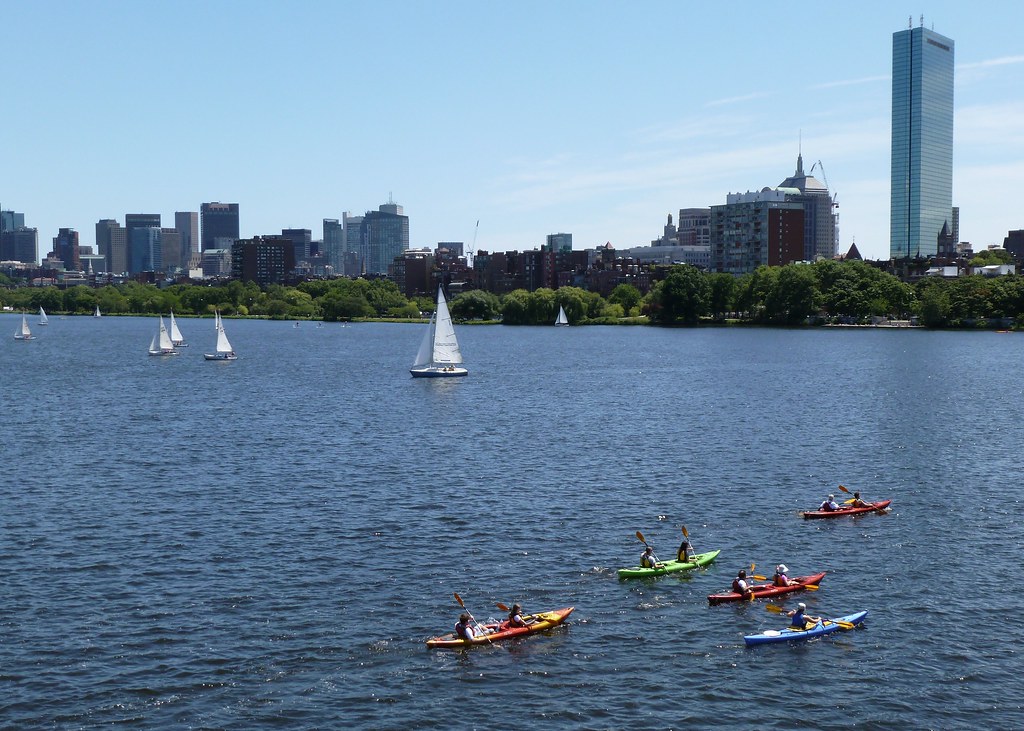
Set in Suffolk County, Boston has no paddleable lakes within its borders, so paddlers radiate outward along the water that defines the city. The marquee corridor is the Charles River, whose 9.5-mile Lower Charles runs from the Watertown Dam to Boston Harbor with flatwater and skyline views. Beyond it lie the Harbor Islands, the Mystic River, and the salt marshes of the Great Marsh.
Top waters to paddle near Boston








Paddle smarter with real-time insights
Whether you're en route and conditions shift or you're looking for the best spot based on current flows, we enable you to make informed decisions on the fly.







Massachusetts licenses and regulations
Explore Boston
Top paddling waters
Loading top waters...
Popular Cities
Loading popular cities...

Smarter Paddling Starts in the App.
Paddleways gives you everything you need to plan smarter, paddle better, and own every trip from first launch to takeout.