President Roads
- Saltwater
- Sea area
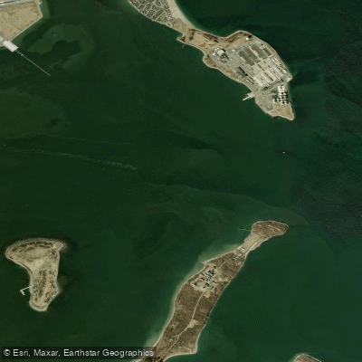
President Roads
- Saltwater
- Sea area
- Sq. miles
- 2
- Boat Ramps
- 0
- Access Points
- 0
- Campsites
- 0
President Roads is a major, deep-water shipping channel and anchorage in Boston Harbor, Massachusetts, forming a significant maritime corridor between the inner and outer harbor. It is a large, open sea area flanked by Deer Island to the north and Long Island to the south, with Spectacle Island situated roughly in its center. The channel is exceptionally deep, with areas reported to be 80 to 100 feet deep depending on the tide, and it is a convergence point for major shipping lanes, marked by the historic Nixes Mate navigational aid. This convergence creates incredibly rough water conditions at Nixes Mate, indicative of the powerful currents and exposure found throughout the area. For paddlers, crossing President Roads is a notable undertaking, often described as a "jump" comparable to crossing from Long Island to Deer Island, and it is a route considered for ambitious urban paddles such as from Cohasset to Ipswich. The primary hazards are intense commercial and recreational boat traffic, including high-speed ferries like the Salem Ferry that are difficult for larger vessels to see a kayak. The channel is also the main approach for large container ships heading to the port of Boston. Due to this traffic, President Roads, along with the Hull Gut and the main channel, are areas paddlers are advised to either avoid or plan around very carefully. Standard public access points for paddlers targeting this area include a boat launch in Winthrop and the public launch by the high school, which are used for trips crossing to the Harbor Islands. The environment is a dynamic, urban saltwater harbor. The aesthetic is industrial and maritime, with views of Logan International Airport, the distinctive egg-shaped sewage treatment plant on Deer Island, and constant commercial shipping activity. Paddlers must maintain a high level of situational awareness, practice self-rescue, use high-visibility flags, carry a marine radio, and be prepared for potentially rough, exposed conditions where self-reliance is critical.
Water access, boat ramps & amenities
Learn how to get on President Roads. Uncover great paddling access points, boat ramps, and all the facilities you need for an unforgettable day on the water. Some locations shown may border or include private property. Always check property boundaries and applicable regulations before visiting. PaddleWays's Public & Private Land layer can help you plan your access with confidence.
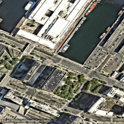
Paddle smarter with real-time insights
Whether you're en route and conditions shift or you're looking for the best spot based on current flows, we enable you to make informed decisions on the fly.








Find Places to Paddle

Over 400,000 Places to Paddle
Every user gets free access to launch points, boat ramps, and public property parcels.


Tides, wind & water conditions (10 day forecast)
On open water, wind and tide matter as much as the weather. See the best times to paddle President Roads and check the marine forecast before you launch.
Loading tide predictions…
Paddling near President Roads

Charles River

Concord River

Massachusetts Bay

Merrimack River

Sudbury River

Broad Sound

Wachusett Reservoir

Assabet River
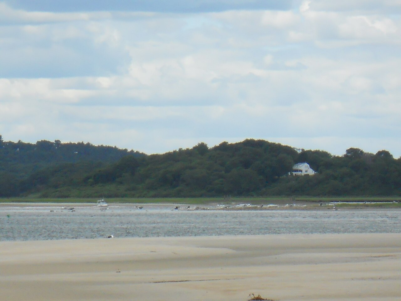
Ipswich River
Explore Massachusetts waters
Top paddling waters
Popular Cities
Loading popular cities...
Explore near President Roads

Smarter Paddling Starts in the App.
Paddleways gives you everything you need to plan smarter, paddle better, and own every trip from first launch to takeout.