Massachusetts Bay
- Saltwater
- Bay

Massachusetts Bay
- Saltwater
- Bay
- Sq. miles
- 798
- Boat Ramps
- 15
- Access Points
- 0
- Campsites
- 5
Massachusetts Bay is a large, open coastal bay on the Atlantic Ocean, presenting a spectrum of paddling conditions from sheltered harbors to exposed open water crossings. The bay's northern and western shores offer protected launch points, such as Plymouth Harbor, which is a calm, sheltered area ideal for beginners with minimal current and manageable wind and waves due to its natural geography. Launching from the town waterfront near Cole's Hill provides easy access, with ample parking and facilities nearby. Further north, the area encompassing the mouths of the Danvers River and harbors like Salem, Marblehead, Gloucester, and Manchester-by-the-Sea offers numerous launch sites but presents significantly more challenging conditions. This region is not suitable for beginners, featuring very strong and complex tidal currents, challenging wind chop, and deep water far from shore that approaches open ocean conditions. Paddling fatalities have occurred in these waters, emphasizing the need for experience and serious safety preparations.
For the highly experienced sea kayaker, the bay offers the formidable challenge of a continuous open-water crossing from Cape Ann to Cape Cod, a journey of approximately 47 miles that takes over 13 hours and is conducted completely out of sight of land. This expedition requires meticulous planning around a multi-day weather window, as conditions must be exceptionally stable to avoid being caught miles from shore in high winds or storms. Within the more protected areas, paddlers can explore historic sites like the Mayflower II replica in Plymouth Harbor or visit islands such as Misery Island and Crowninshield Island, which are properties of the Trustees of Reservations and offer hiking trails or rest stops. Tides significantly influence paddling, with high tide generally offering better access in harbors as low tide can expose restrictive mudflats. Afternoon winds can pick up, making morning paddles preferable for calmer conditions. The best paddling season runs from March through November, with summer providing the warmest water and most stable weather, while spring and fall offer fewer crowds.
Water access, boat ramps & amenities
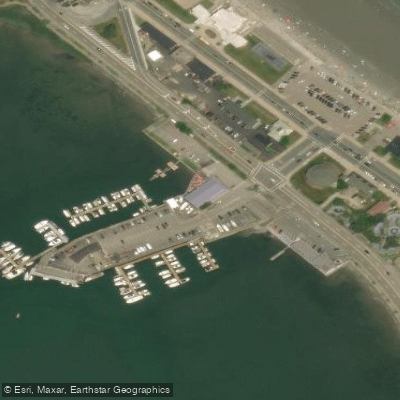
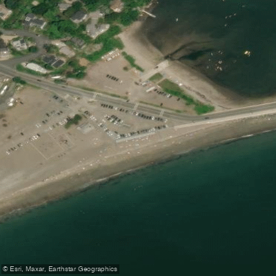
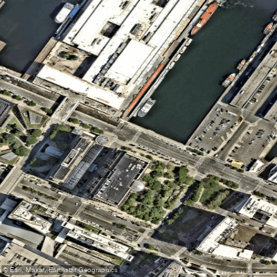
Learn how to get on Massachusetts Bay. Uncover great paddling access points, boat ramps, and all the facilities you need for an unforgettable day on the water. Some locations shown may border or include private property. Always check property boundaries and applicable regulations before visiting. PaddleWays's Public & Private Land layer can help you plan your access with confidence.
Paddle smarter with real-time insights
Whether you're en route and conditions shift or you're looking for the best spot based on current flows, we enable you to make informed decisions on the fly.








Find Places to Paddle

Over 400,000 Places to Paddle
Every user gets free access to launch points, boat ramps, and public property parcels.


Tides, wind & water conditions (10 day forecast)
On open water, wind and tide matter as much as the weather. See the best times to paddle Massachusetts Bay and check the marine forecast before you launch.
Loading tide predictions…
Paddling near Massachusetts Bay

Taunton River

Charles River

Concord River

Merrimack River

Broad Sound

Sudbury River

Assabet River
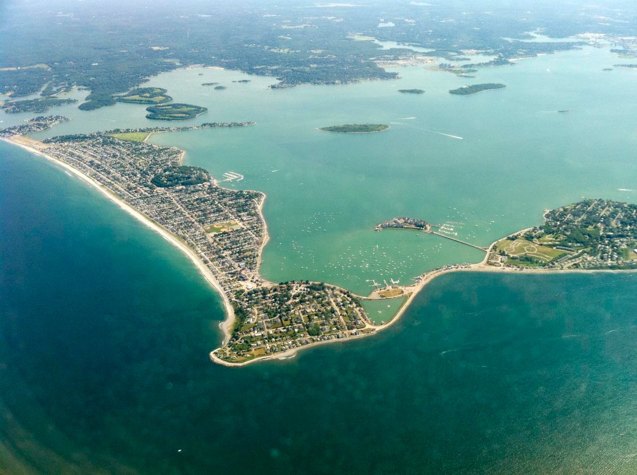
Hingham Bay
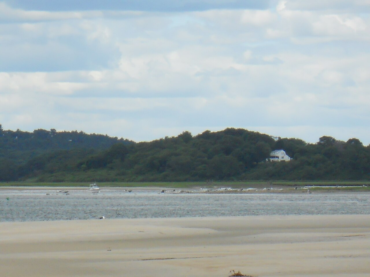
Ipswich River
Explore Massachusetts waters
Top paddling waters
Popular Cities
Loading popular cities...
Explore near Massachusetts Bay
Access points
- George Washington Boulevard Boat Ramp
- West End Lot Beach Boat Ramp
- Lynn Harbor Boat Ramp
- Danvers River Boat Ramp
- Scituate Harbor Boat Ramp
- Cole Parkway Boat Ramp
- Jericho Boat Ramp
- Marblehead Harbor (Riverhead Beach) Boat Ramp
- Salem Harbor (Winter Island) Boat Ramp
- Kettle Cove Boat Ramp
- Sandy Point Boat Ramp
- Marblehead Lobster Company Boat Ramp
- All 66 spots
Nearby waters
More in Massachusetts

Smarter Paddling Starts in the App.
Paddleways gives you everything you need to plan smarter, paddle better, and own every trip from first launch to takeout.