Ipswich River
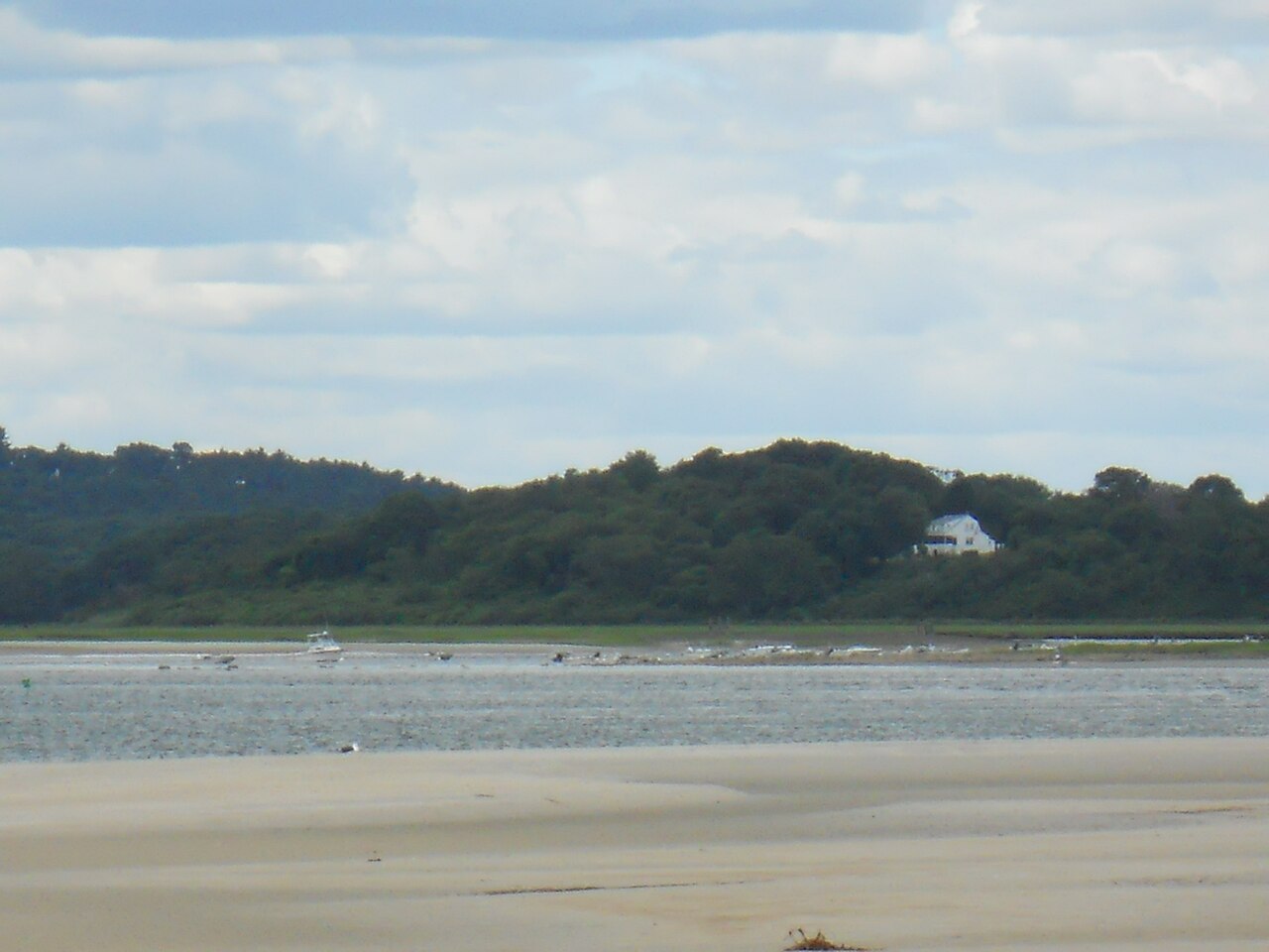
Ipswich River
- Boat Ramps
- 16
- Access Points
- 32
- Campsites
- 3
The Ipswich River is a scenic waterway that winds through northeastern Massachusetts, offering paddlers a peaceful journey through diverse landscapes. Stretching approximately 45 miles from its headwaters in Burlington to its mouth at Plum Island Sound, this gentle river flows through several towns including North Reading, Middleton, Topsfield, and Ipswich.
Known for its flatwater paddling, the Ipswich River is suitable for canoeists and kayakers of all skill levels. The river is characterized by its meandering course, passing through forested areas, wetlands, wildlife sanctuaries, and state parks. Most sections feature calm waters with occasional minor obstacles like fallen trees, making it an ideal destination for beginners and families while still offering enough variety to keep more experienced paddlers engaged.
Popular paddling sections include the upper river from North Reading to Middleton, which offers a tranquil 10-mile journey through a shady canyon of mature trees. The Topsfield to Ipswich section is another favorite, covering 8.4 miles of scenic countryside and passing through the Ipswich River Wildlife Sanctuary. For those seeking a longer adventure, the 25.8-mile stretch from South Middleton to Little Neck provides a comprehensive tour of the river's diverse ecosystems.
The Ipswich River is a year-round paddling destination, but spring and fall are particularly beautiful seasons to explore its waters. Spring high water levels make some upper sections more accessible, while fall foliage creates a stunning backdrop. Summer offers warm temperatures and abundant wildlife viewing opportunities, though water levels may be lower in some areas.
Wildlife enthusiasts will delight in the river's rich biodiversity. Paddlers can expect to see a variety of bird species, including great blue herons and Canadian geese. Beavers and their lodges are common sights, and lucky paddlers might spot deer along the riverbanks. The river's ecosystem supports a diverse array of plant life, from wetland vegetation to riverside forests.
Several notable landmarks punctuate the Ipswich River's course. The Willowdale Dam in Ipswich offers a picturesque stop, while the South Middleton Dam presents a large concrete waterfall that requires a portage. The river also passes through the Ipswich River Wildlife Sanctuary, managed by Mass Audubon, which offers additional hiking trails and nature observation opportunities.
Access points are plentiful along the river, with popular put-ins at Ipswich River Park in North Reading, Rowley Bridge Road in Topsfield, and Thunder Bridge in Middleton. The town of Ipswich serves as the final destination for many paddling trips, where the river widens as it approaches the ocean.
Historically, the Ipswich River played a crucial role for Indigenous peoples, who relied on it for fishing, transportation, and access to coastal resources. Today, it remains an important water source for several communities and a vital wildlife corridor.
Safety considerations include being aware of water levels, which can fluctuate seasonally, and watching for submerged obstacles, particularly in less frequently paddled sections. Paddlers should also be mindful of the few dams along the river, which require portaging.
For those interested in multi-day trips, the river offers several options. A popular overnight journey involves camping on a private island about two hours upstream from Foote Brothers Canoe & Kayak Rental in Ipswich, allowing paddlers to experience the river's changing character from day to night.
The Ipswich River stands out as one of Massachusetts' premier paddling destinations, offering a perfect blend of natural beauty, wildlife viewing, and accessible adventure for paddlers of all abilities.
Water access, boat ramps & amenities
Learn how to get on Ipswich River. Uncover great paddling access points, boat ramps, and all the facilities you need for an unforgettable day on the water. Some locations shown may border or include private property. Always check property boundaries and applicable regulations before visiting. PaddleWays's Public & Private Land layer can help you plan your access with confidence.
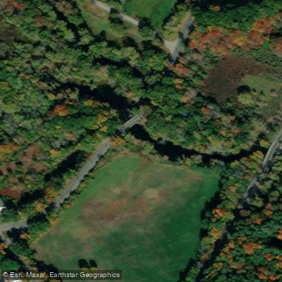
Salem Bridge Access
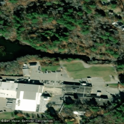
South Middleton Dam Access
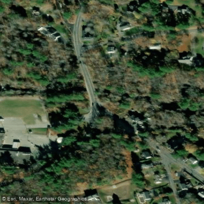
Russell Street Access
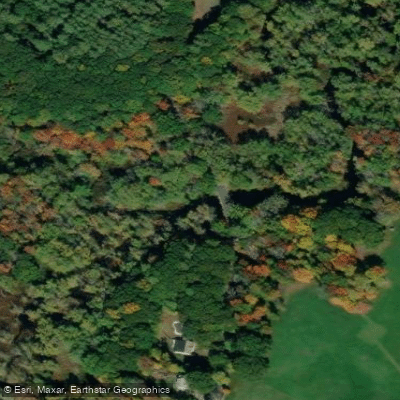
Rowley Bridge Access
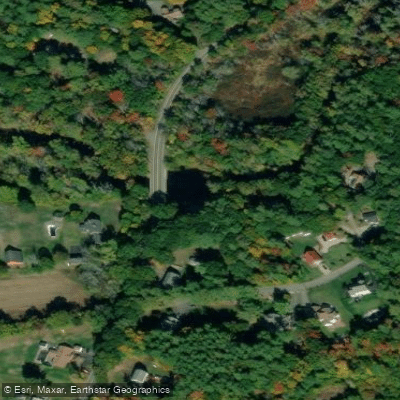
Thunder Bridge Access
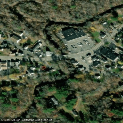
Park Street Access
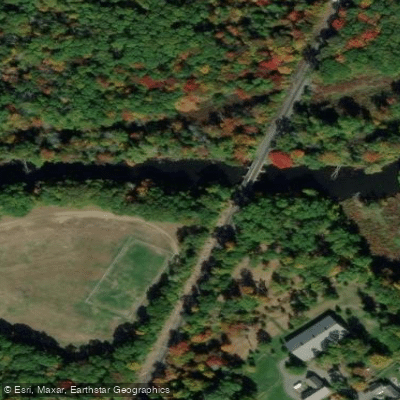
Julia Bird Reservation Access
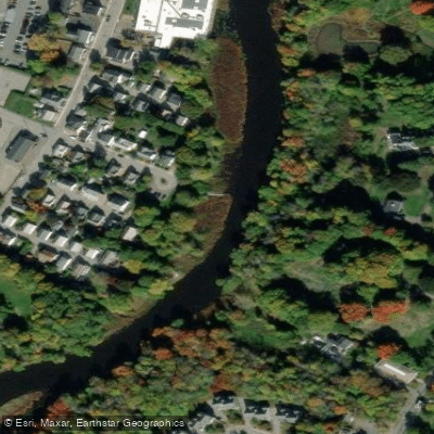
Peatfield Landing Access
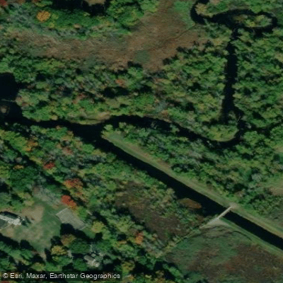
Ipswich River Wildlife Sanctuary Access
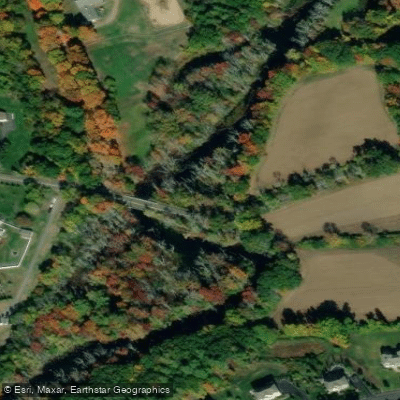
Peabody Street Reservation Access
Paddle smarter with real-time insights
Whether you're en route and conditions shift or you're looking for the best spot based on current flows, we enable you to make informed decisions on the fly.








Find Places to Paddle

Over 400,000 Places to Paddle
Every user gets free access to launch points, boat ramps, and public property parcels.


Water and weather conditions (10 day forecast)
See the best times to paddle Ipswich River and check the forecast before you go.
IPSWICH RIVER NEAR IPSWICH, MA
All Flow Stations
Paddling near Ipswich River

Merrimack River

Massachusetts Bay

Concord River

Charles River

Broad Sound

Sudbury River

Assabet River
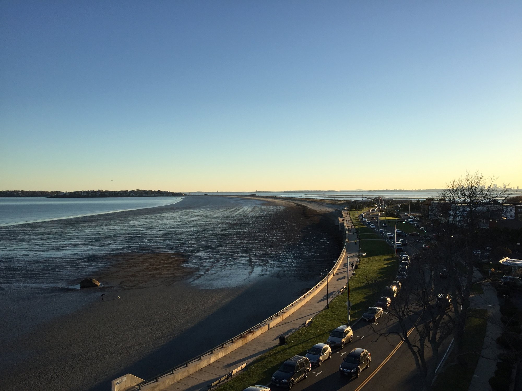
Nahant Bay

Wachusett Reservoir
Explore Massachusetts waters
Top paddling waters
Popular Cities
Loading popular cities...
Explore near Ipswich River
Access points
- West Street Boat Ramp
- Ipswich River Conservation Area Boat Ramp
- High Street Boat Ramp
- Woburn Bridge Boat Ramp
- Maple Street Bridge Boat Ramp
- Salem Bridge Boat Ramp
- Thunder Bridge Boat Ramp
- South Main Street Boat Ramp
- Peatfield Landing Boat Ramp
- Willowdale State Forest Boat Ramp
- Lob's Pound Mill Site Boat Ramp
- Bradley Palmer State Park Boat Ramp
- All 90 spots
Nearby waters
More in Massachusetts

Smarter Paddling Starts in the App.
Paddleways gives you everything you need to plan smarter, paddle better, and own every trip from first launch to takeout.