Cabots Camp Boat Ramp
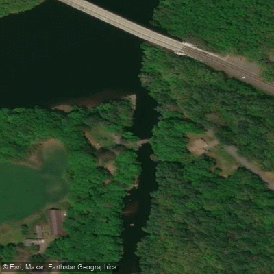
Cabots Camp Boat Ramp
Cabot Camp Access Area (also known as Cabot's Camp boat ramp) is a carry-in access point located at river mile 16.
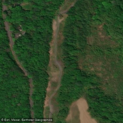
2 on the Connecticut River in Franklin County, Massachusetts, featuring parking for approximately 15 vehicles and moderate-grade trails to the shoreline.
This FirstLight-managed site serves as an important access point for non-motorized boaters paddling the Connecticut River between Vernon Dam and Turners Falls Dam, with adequate spacing relative to other regional access sites for day-use paddling trips.
Nearby points of interest
Find excellent paddling spots, easy access to boat ramps, and all the amenities you need for a memorable day. Your adventure starts here.
Water and weather conditions (10 day forecast)
Check the forecast at Cabots Camp Boat Ramp before you go paddling.
No forecast data available.
Paddling near Cabots Camp Boat Ramp

Connecticut River
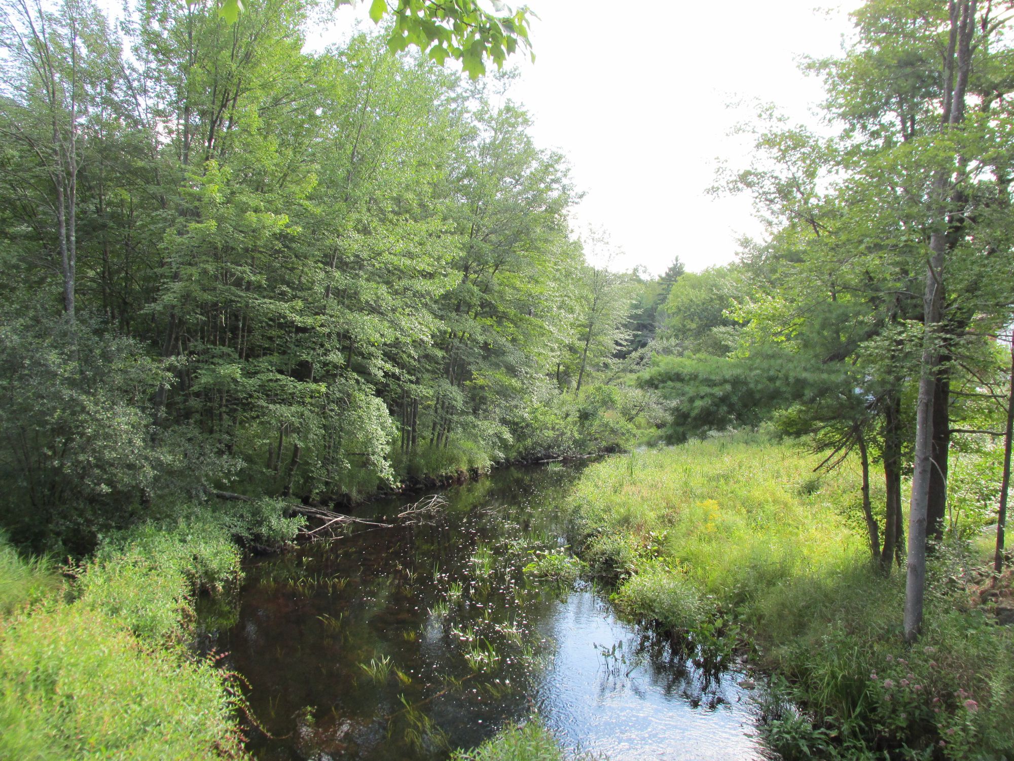
Millers River
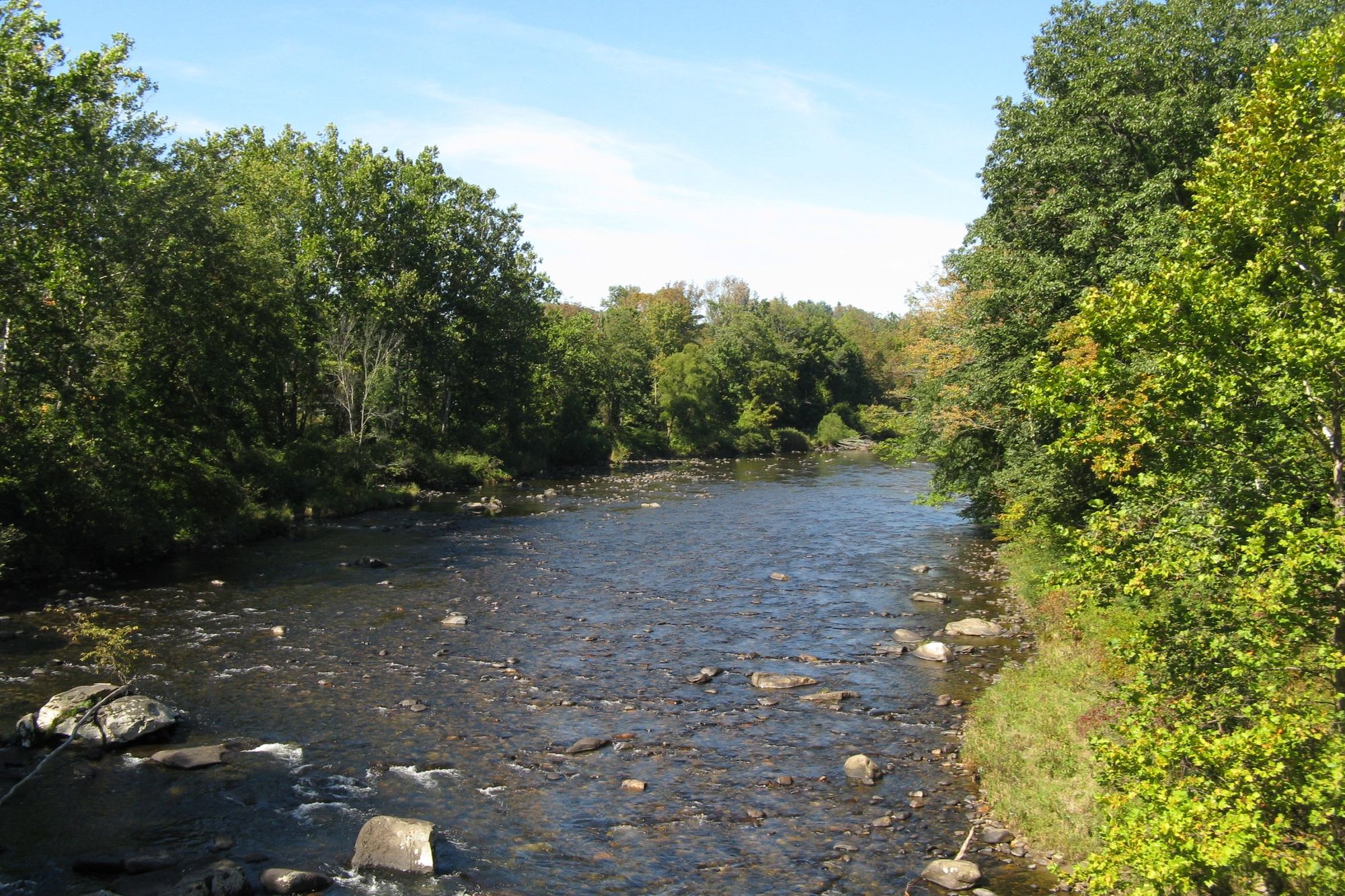
Westfield River

Wachusett Reservoir
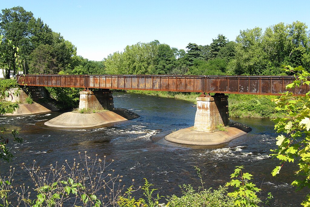
Quaboag River
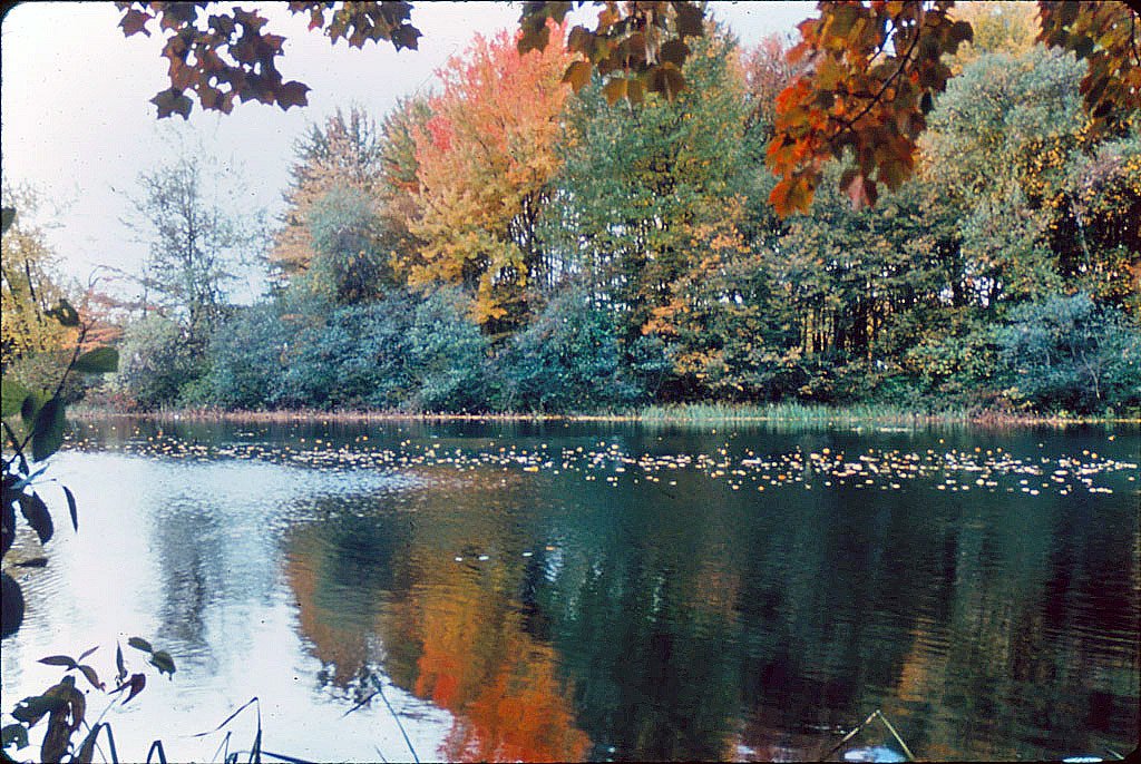
Ashuelot River
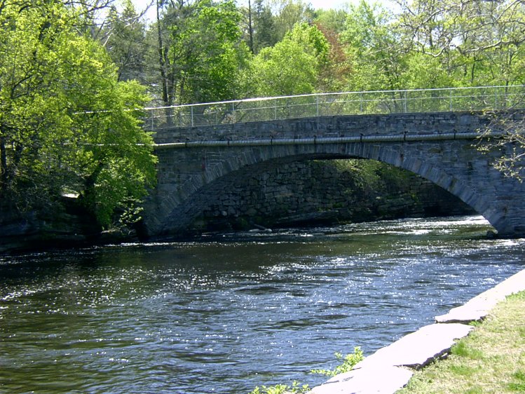
Willimantic River

Housatonic River
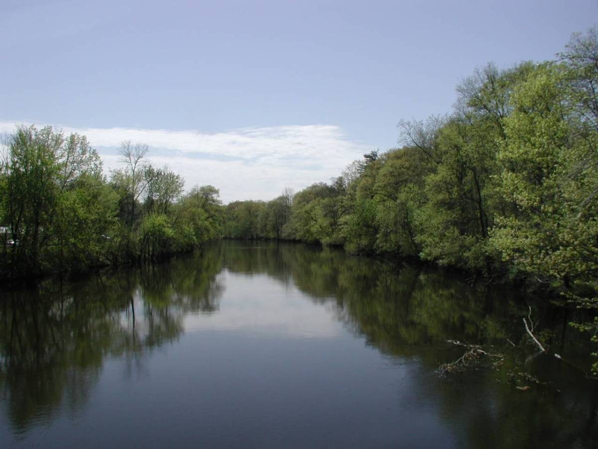
Farmington River
Contoocook River
Massachusetts licenses and regulations
Explore Massachusetts waters
Top paddling waters
No waters available right now.
Popular Cities
Loading popular cities...
Explore near Cabots Camp Boat Ramp
Nearby spots
- Arch Street Bridge Boat Ramp
- Connecticut River (Barton Cove) Boat Ramp
- Connecticut River Greenway State Park Boat Ramp
- Mohawk Trail Rest Area Boat Ramp
- Connecticut River Greenway State Park Access
- French King Bridge
- Hatchery Brook Primitive Campground
- Connecticut River Greenway State Park Parking
- French King Highway Parking
- Wendell State Forest Parking
Nearby waters
More in Massachusetts

Smarter Paddling Starts in the App.
Paddleways gives you everything you need to plan smarter, paddle better, and own every trip from first launch to takeout.