Green River-Colrain Access
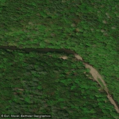
Green River-Colrain Access
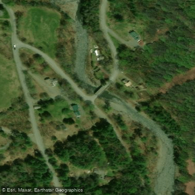
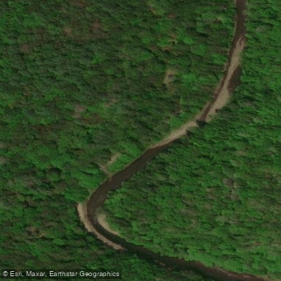
This access point on the Green River near Colrain provides a convenient put-in/take-out location for paddlers, situated approximately 0. 5 miles upstream from the West Leyden Road bridge.
The site is monitored by a USGS streamgage (01170100) that provides real-time water level data, useful for paddlers to assess current conditions before launching.
Access is available from North Green River Road in Colrain, making it a practical starting point for exploring the scenic Green River corridor in northwestern Massachusetts.
Nearby points of interest
Find excellent paddling spots, easy access to boat ramps, and all the amenities you need for a memorable day. Your adventure starts here.
Water and weather conditions (10 day forecast)
Check the forecast at Green River-Colrain Access before you go paddling.
No forecast data available.
Paddling near Green River-Colrain Access

Connecticut River
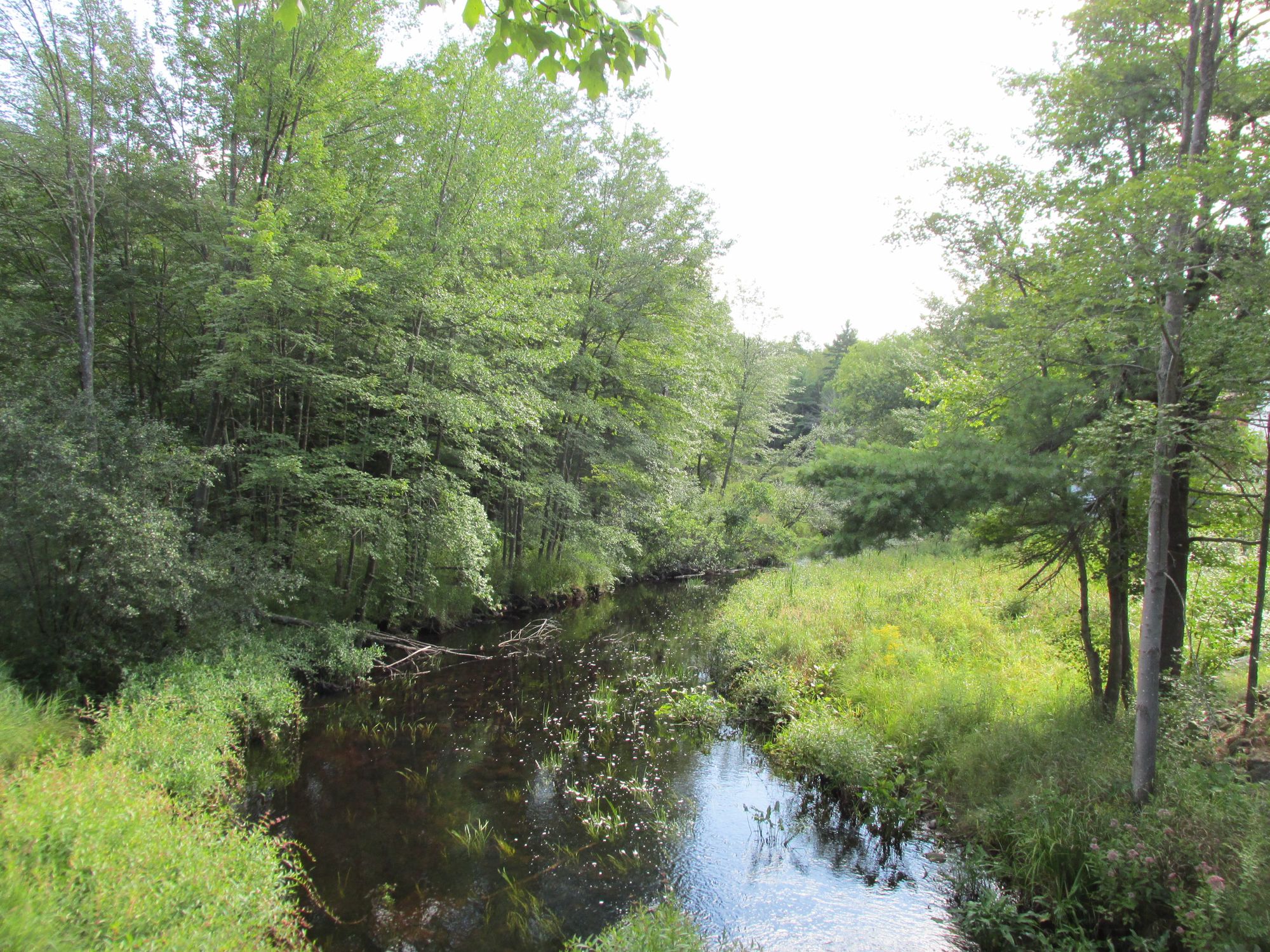
Millers River
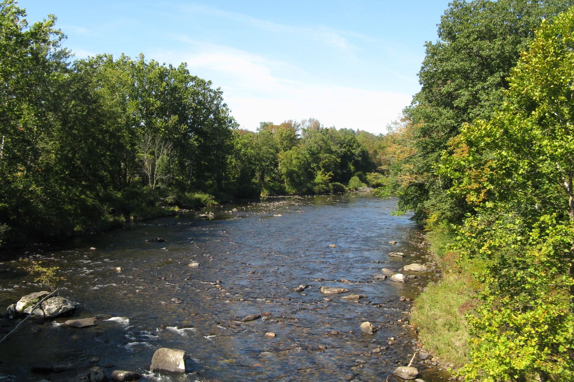
Westfield River

Wachusett Reservoir
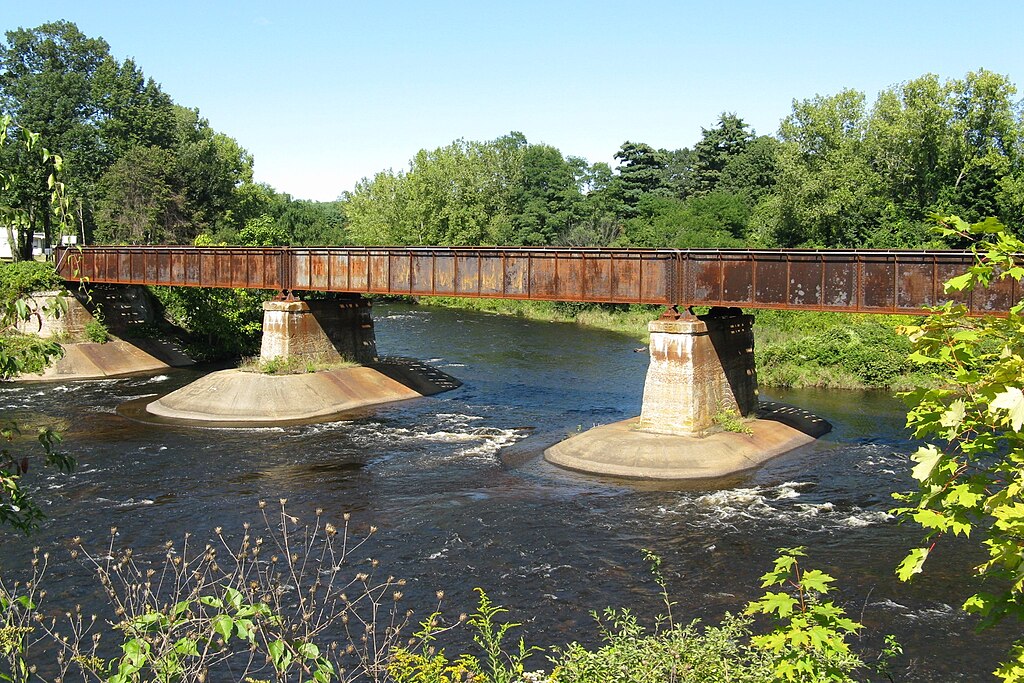
Quaboag River
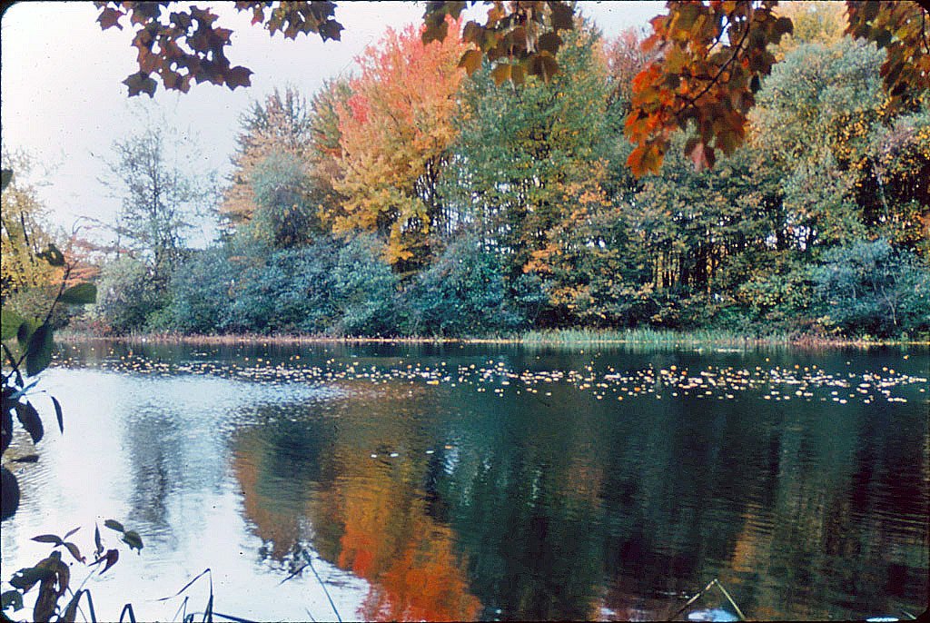
Ashuelot River
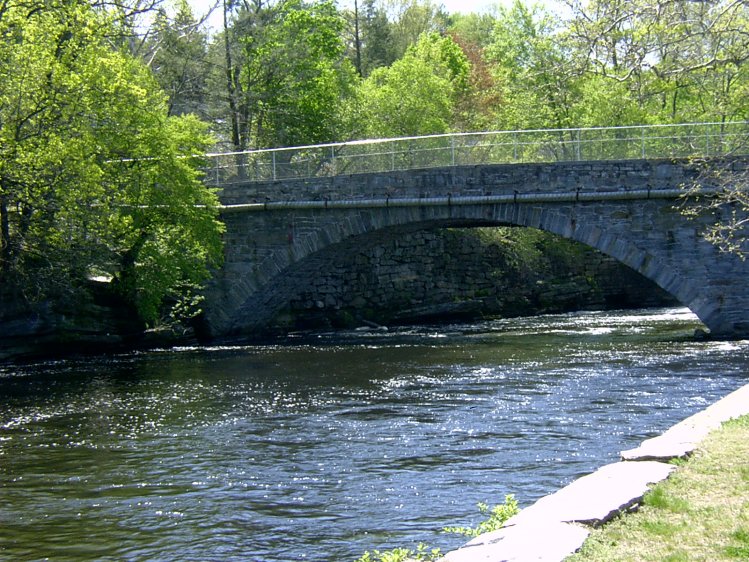
Willimantic River

Housatonic River
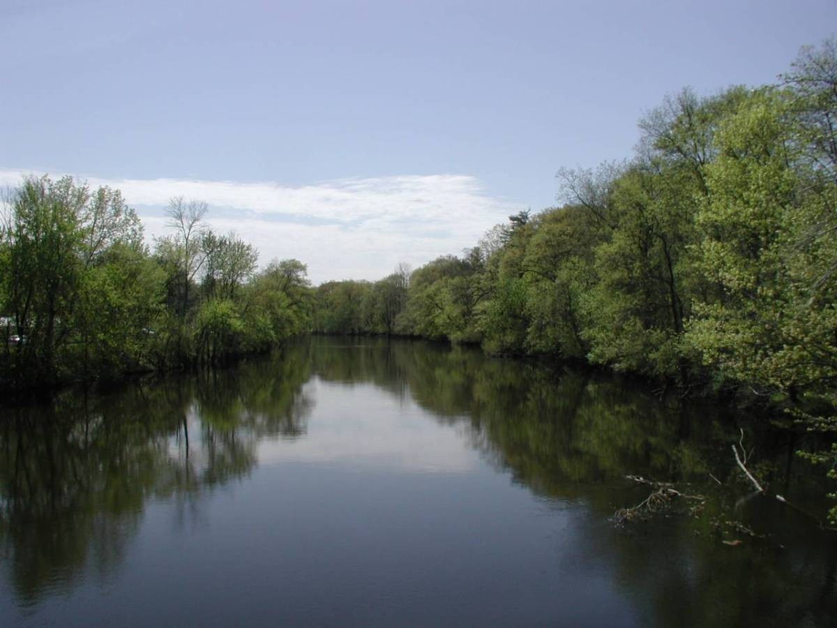
Farmington River
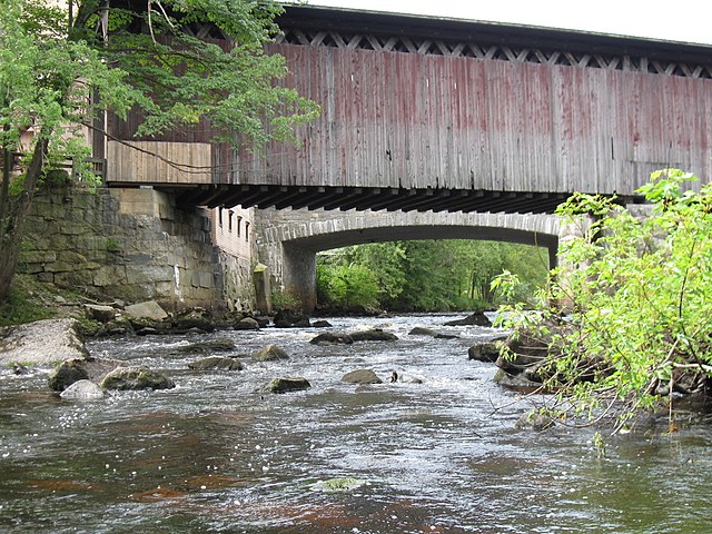
Contoocook River
Massachusetts licenses and regulations
Explore Massachusetts waters
Top paddling waters
No waters available right now.
Popular Cities
Loading popular cities...
Explore near Green River-Colrain Access
Nearby waters
More in Massachusetts

Smarter Paddling Starts in the App.
Paddleways gives you everything you need to plan smarter, paddle better, and own every trip from first launch to takeout.