Millers River Access

Millers River Access
Millers River Wildlife Management Area provides access to a 50-mile waterway with a newly completed canoe and kayak launch facility in Athol featuring a concrete boat ramp, shore fishing area, and parking. The launch opens 6.
6 river miles for paddling from Royalston to Athol through the Bearsden Conservation Area, complementing downstream access points on the Millers River Watershed Council Blue Trail.
Nearby points of interest
Find excellent paddling spots, easy access to boat ramps, and all the amenities you need for a memorable day. Your adventure starts here.
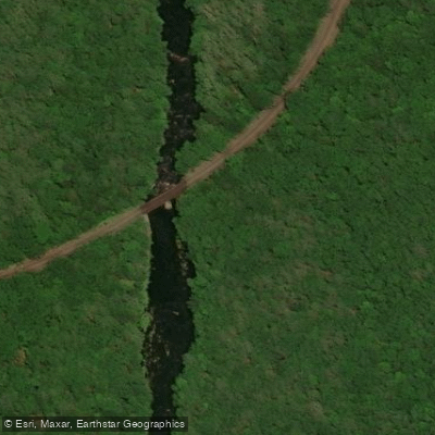
Bearsden Access
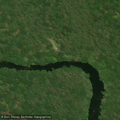
Bearsden Road Access
Birch Hill Access
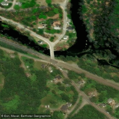
Birch Hill Dam Road Access
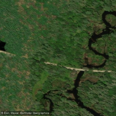
Birch Hill Reservoir Area Access
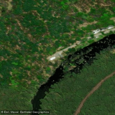
Blossom Street Access
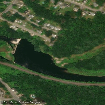
Crescent Street Access
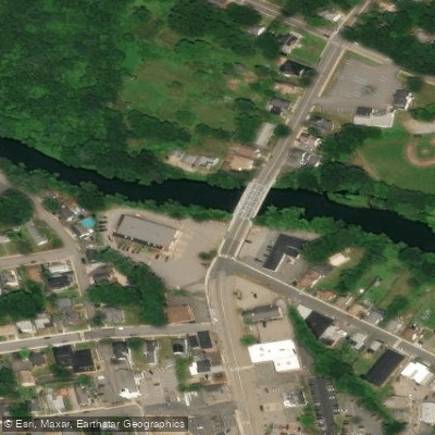
Exchange Street Access
North Orange Road Access
Otter River State Forest Access
Water and weather conditions (10 day forecast)
Check the forecast at Millers River Access before you go paddling.
No forecast data available.
Paddling near Millers River Access

Wachusett Reservoir
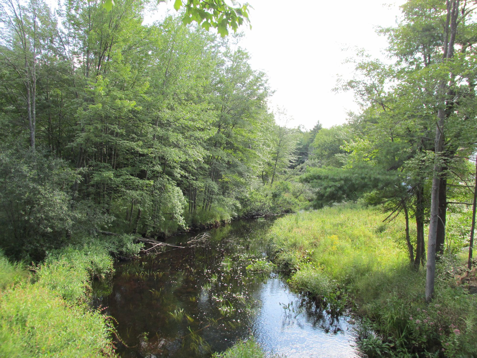
Millers River
Borggaard Beach
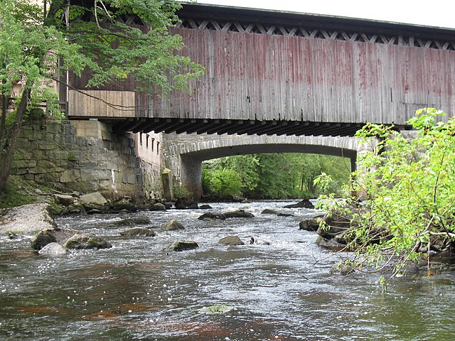
Contoocook River

Connecticut River
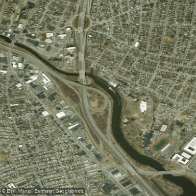
Mystic River
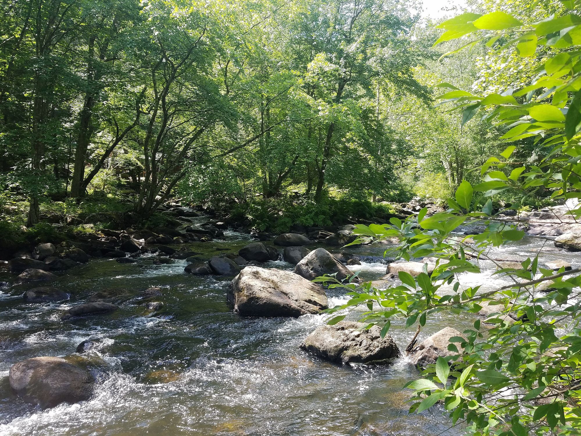
Souhegan River

Merrimack River
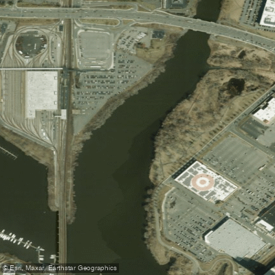
Malden River
Squannacook River
Massachusetts licenses and regulations
Explore Massachusetts waters
Top paddling waters
No waters available right now.
Popular Cities
Loading popular cities...
Explore near Millers River Access
Nearby spots
- Alan E. Rich Environmental Park Boat Ramp
- Birch Hill Dam Boat Ramp
- Birch Hill Reservoir Area Boat Ramp
- Lake Ellis Boat Ramp
- Millers River-Athol Boat Ramp
- Tully Lake Boat Ramp
- Bearsden Access
- Bearsden Road Access
- Birch Hill Access
- Birch Hill Dam Road Access
- Birch Hill Reservoir Area Access
- Blossom Street Access
- All 19 nearby spots
Nearby waters
More in Massachusetts

Smarter Paddling Starts in the App.
Paddleways gives you everything you need to plan smarter, paddle better, and own every trip from first launch to takeout.