Mystic River
- Saltwater
- Tidal river
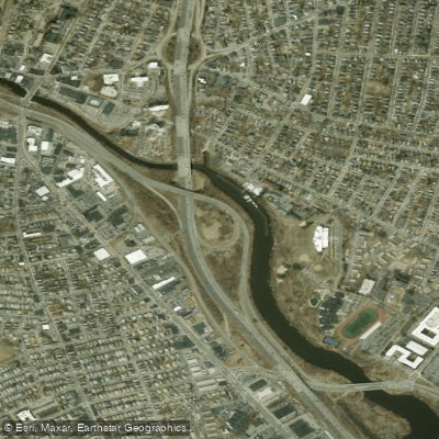
Mystic River
- Saltwater
- Tidal river
- Sq. miles
- 0
- Boat Ramps
- 0
- Access Points
- 0
- Campsites
- 0
The Mystic River is a tidal river offering a seven-mile urban paddling route with distinct upstream and downstream options. The river's character is defined by its location within the Boston metropolitan area, featuring skyline views and a mix of developed and natural shorelines. Paddlers should plan their trips around the tidal cycle, as the river connects to Boston Harbor via the Amelia Earhart Dam and Locks approximately one mile downstream from the Blessing of the Bay Boathouse. The tidal influence means currents will reverse direction, and paddlers must time their outings to coordinate with lock operations if planning to pass through to the harbor. The river is a saltwater feature, and its water quality has received an A- grade. There are several public access points for launching and taking out. Two primary rental locations are Paddle Boston's operations at the Condon Shell in Medford and the Blessing of the Bay Boathouse in Somerville. The Condon Shell launch features a wide wooden ramp with handrails. Other public launches exist, with a total of seven boat launches identified along the watershed. From the Blessing of the Bay Boathouse, paddling upstream for about four miles leads to the scenic Mystic Lakes area, which includes a public swimming area at Shannon Beach on Upper Mystic Lake. Paddling downstream from that boathouse leads toward the harbor. Facilities vary by location; for example, Shannon Beach has a large paved parking lot, seasonal bathrooms in an accessible building, and is adjacent to a multi-use path. The area is rich with wildlife; from April to July, nearly one million river herring migrate from the ocean to the freshwater lakes to spawn. The parks along the river are noted for biodiversity, including birding hotspots. Paddlers should be prepared for boat traffic, especially near the harbor entrance, and always wear a life jacket. Smoking and alcohol are prohibited at the rental facilities. Reservations for rentals are not always required but are available for some time slots.
Water access, boat ramps & amenities
Learn how to get on Mystic River. Uncover great paddling access points, boat ramps, and all the facilities you need for an unforgettable day on the water. Some locations shown may border or include private property. Always check property boundaries and applicable regulations before visiting. PaddleWays's Public & Private Land layer can help you plan your access with confidence.
Paddle smarter with real-time insights
Whether you're en route and conditions shift or you're looking for the best spot based on current flows, we enable you to make informed decisions on the fly.








Find Places to Paddle

Over 400,000 Places to Paddle
Every user gets free access to launch points, boat ramps, and public property parcels.


Tides, wind & water conditions (10 day forecast)
On open water, wind and tide matter as much as the weather. See the best times to paddle Mystic River and check the marine forecast before you launch.
Loading tide predictions…
Paddling near Mystic River

Concord River

Merrimack River

Massachusetts Bay

Charles River

Sudbury River

Broad Sound

Assabet River

Wachusett Reservoir
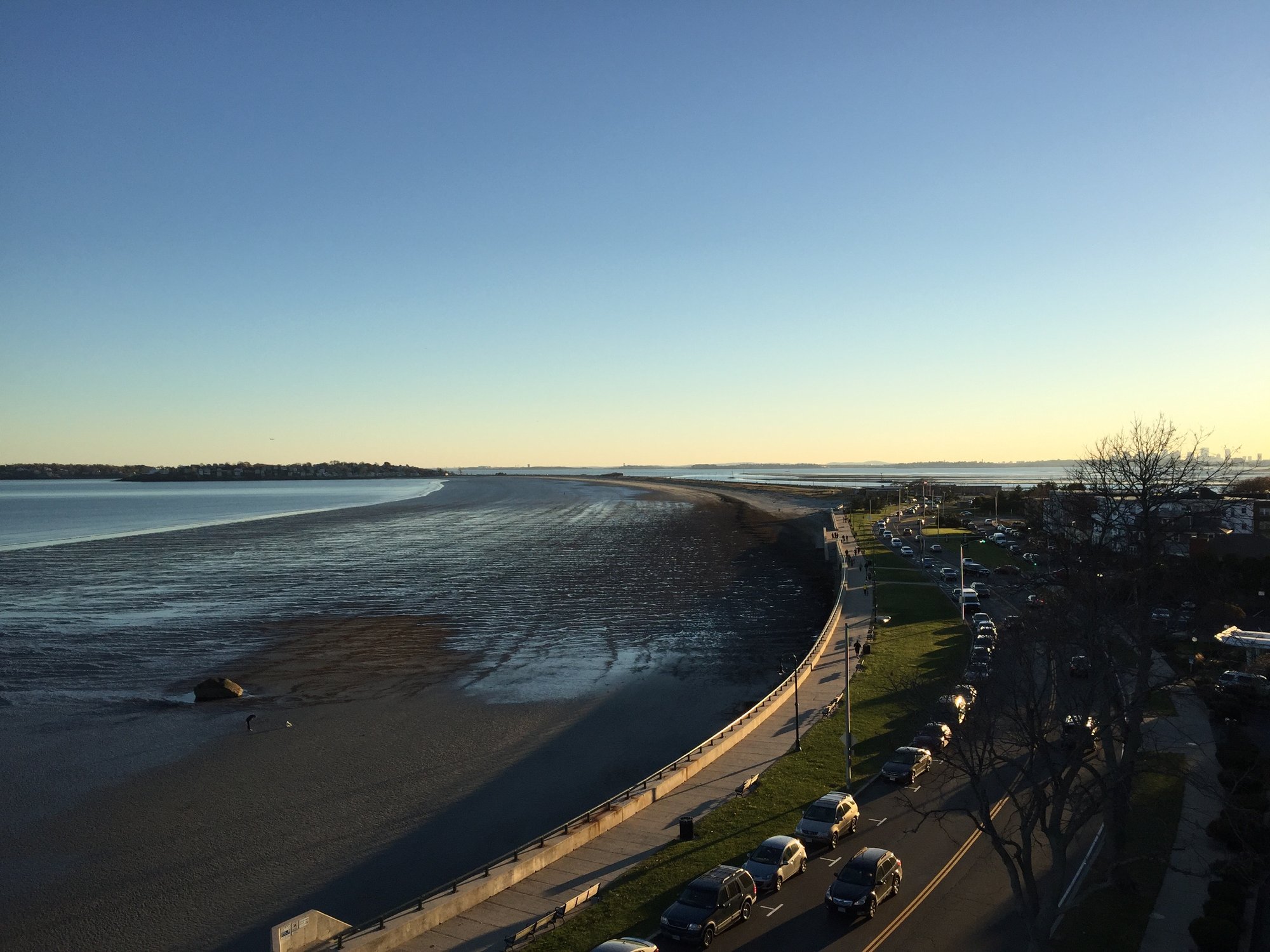
Nahant Bay
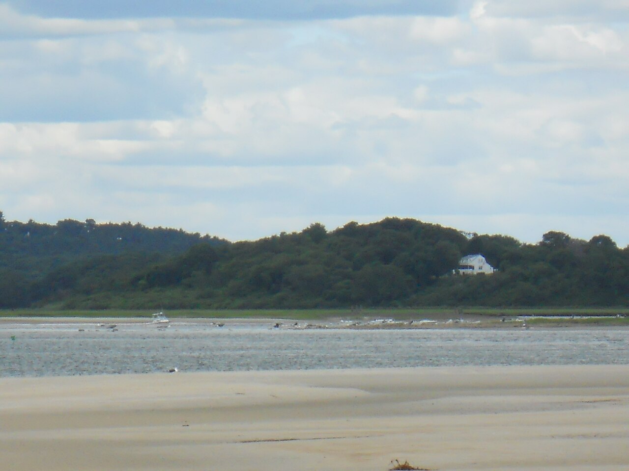
Ipswich River
Explore Massachusetts waters
Top paddling waters
Popular Cities
Loading popular cities...
Explore near Mystic River
Access points
- Water Mystic River Bridge
- Comb Mystic R & Ped/bky Bridge
- Water Mystic River Bridge
- I 93 Bridge
- Water Mystic River Bridge
- Water Mystic River Bridge
- Water Malden River Bridge
- Water Malden River Bridge
- Water Alewife Brook Bridge
- Hwy Alw Sta Access Rd Bridge
- Water Aberjona River Bridge
- Water Aberjona River Bridge
- All 35 spots
Nearby waters
More in Massachusetts

Smarter Paddling Starts in the App.
Paddleways gives you everything you need to plan smarter, paddle better, and own every trip from first launch to takeout.