Malden River
- Saltwater
- Tidal river
Malden River
- Saltwater
- Tidal river
- Sq. miles
- 0.1
- Boat Ramps
- 0
- Access Points
- 0
- Campsites
- 0
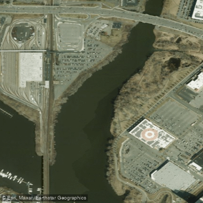
The Malden River is a 2.3-mile-long waterway flanked by the cities of Malden, Medford, and Everett, Massachusetts, and is part of the larger Mystic River watershed. It is a tidal river, though its flow is regulated by the Amelia Earhart Dam. For paddlers, the river is the only body of water within the city of Malden that allows for the launch of personal watercraft like kayaks, canoes, and stand-up paddleboards. The primary public access point is the boat launch at Rivergreen Park in Everett, located at 1 Rivergreen Drive. This city-maintained launch features a concrete walkway and steps leading to a rock-covered launch area. Parking is available, including accessible spaces, and the site has amenities like trash cans and benches, though no bathroom facilities are present at the launch itself. An alternative launch point exists at the Modera parking lot in Medford. A significant development is the Malden River Works Waterfront Park project, which is under construction and slated to open for public access in Summer 2026, promising future additional access.
A key consideration for paddlers is water quality due to the river's history of industrial use. A comprehensive human health risk assessment completed in 2019 concluded that health risks, including for cancer, are negligible for recreational boating on the river, providing a scientific basis for safe paddling. The river's aesthetic is one of ongoing urban reclamation, with former industrial sites being transformed into parks and greenways. The shoreline features a mix of active redevelopment and existing infrastructure like the Medford Street bridge. Paddlers share the space with a marked 3.2-mile multi-use loop trail along the edges for cyclists and pedestrians. The river's relatively short length and confined urban setting limit significant wind fetch, but paddlers should be mindful of tidal currents and potential boat traffic, especially as it connects to the larger Mystic River system. All personal watercraft users are required by Massachusetts state law to have a life jacket or personal flotation device on board.
Water access, boat ramps & amenities
Learn how to get on Malden River. Uncover great paddling access points, boat ramps, and all the facilities you need for an unforgettable day on the water. Some locations shown may border or include private property. Always check property boundaries and applicable regulations before visiting. PaddleWays's Public & Private Land layer can help you plan your access with confidence.
Paddle smarter with real-time insights
Whether you're en route and conditions shift or you're looking for the best spot based on current flows, we enable you to make informed decisions on the fly.








Find Places to Paddle

Over 400,000 Places to Paddle
Every user gets free access to launch points, boat ramps, and public property parcels.


Tides, wind & water conditions (10 day forecast)
On open water, wind and tide matter as much as the weather. See the best times to paddle Malden River and check the marine forecast before you launch.
Loading tide predictions…
Paddling near Malden River

Charles River

Concord River

Massachusetts Bay

Merrimack River

Sudbury River

Broad Sound

Assabet River
Ipswich River
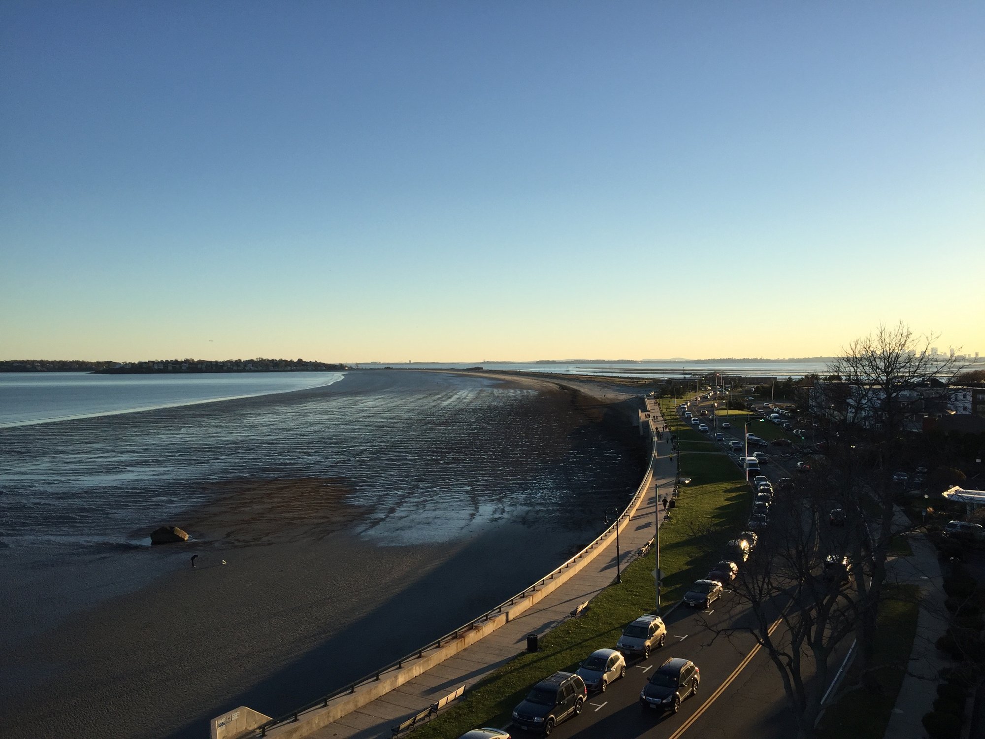
Nahant Bay

Wachusett Reservoir
Explore Massachusetts waters
Top paddling waters
Popular Cities
Loading popular cities...
Explore near Malden River
Access points
- Water Malden River Bridge
- Water Mystic River Bridge
- Water Malden River Bridge
- Comb Mystic R & Ped/bky Bridge
- Comb Ramp Lt& Millers R Bridge
- Water Mystic River Bridge
- Water Pines River Bridge
- I 93 Bridge
- Comb St3/st28 & Charles Bridge
- Water Mystic River Bridge
- John W. Weeks Footbridge
- Water Alewife Brook Bridge
- All 31 spots
Nearby waters
More in Massachusetts

Smarter Paddling Starts in the App.
Paddleways gives you everything you need to plan smarter, paddle better, and own every trip from first launch to takeout.