Squannacook River
Squannacook River
- Boat Ramps
- 7
- Access Points
- 13
- Campsites
- 5
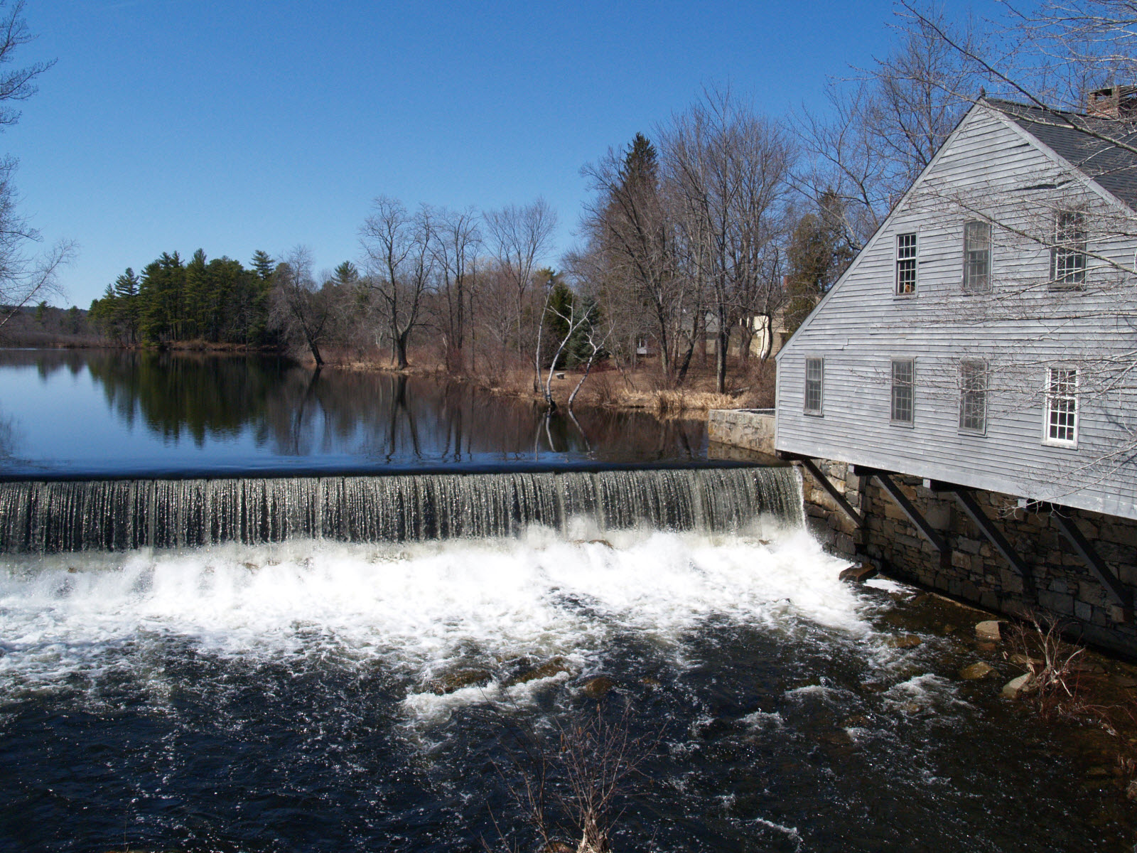
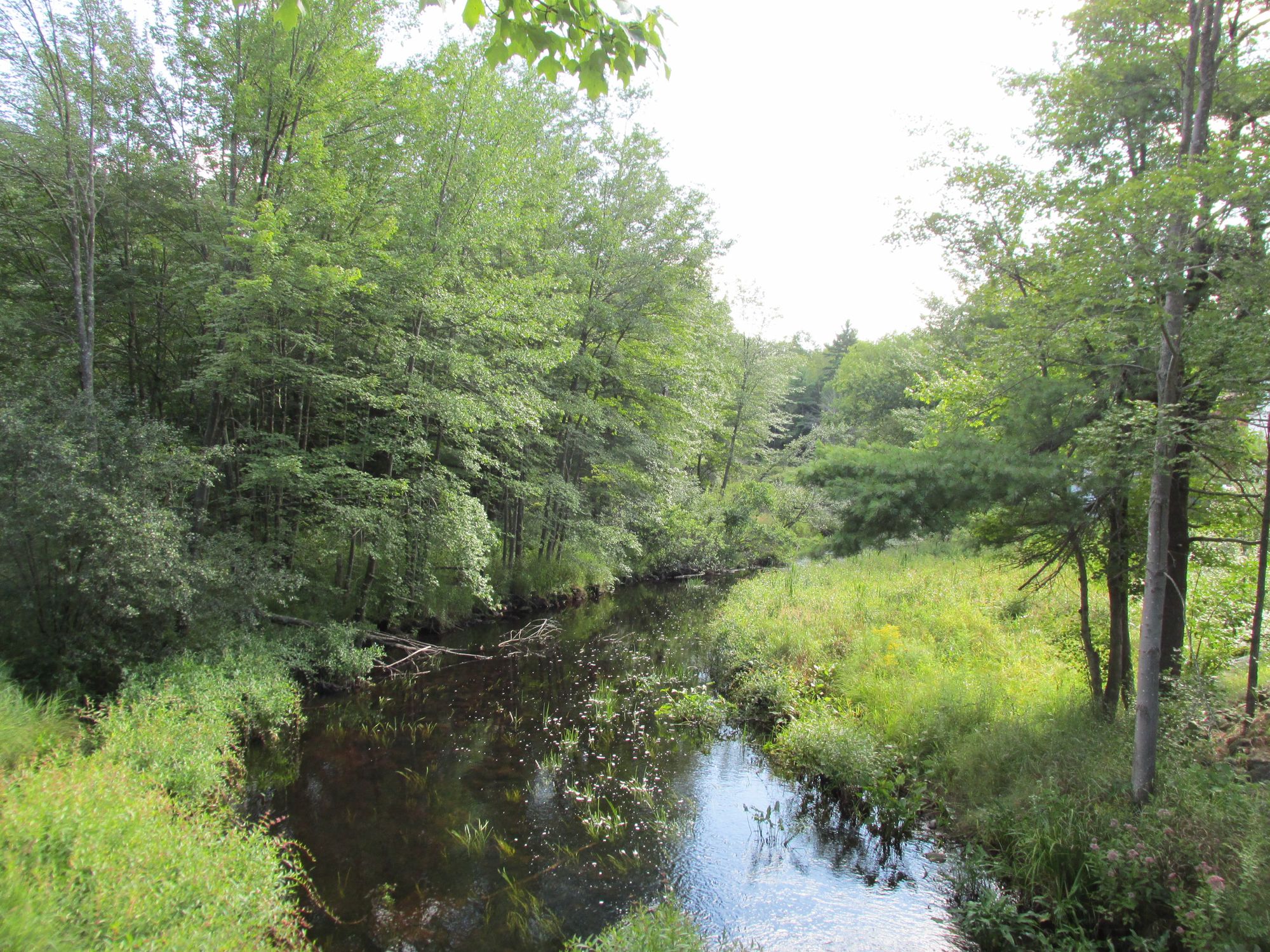
The Squannacook River is a scenic waterway in north-central Massachusetts, originating in Ash Swamp in West Townsend and flowing southeast for approximately 16 miles before joining the Nashua River in Shirley and Ayer. As a major tributary of the Nashua, the Squannacook is an integral part of the larger Nashua River watershed. Paddlers can enjoy several distinct sections of the Squannacook, ranging from flatwater to Class I-II rapids. A popular 6-mile stretch runs from the Townsend VFW to Harbor Pond, offering a peaceful paddle suitable for beginners. More experienced paddlers may tackle the full route from Townsend to Groton, spanning 10-15 miles.
The West Groton area features the Squannacook River Reservoir, a pond-like section above the dam that narrows to about 30 feet wide downstream. The river's difficulty varies, with mostly flatwater sections interspersed with occasional Class I-II rapids, particularly below the West Groton dam. Paddlers should be prepared for potential portages around obstacles like fallen trees. Spring and early summer typically offer the best water levels, though the river is often paddleable into fall.
The Squannacook is renowned for its outstanding natural beauty and ecological significance. It supports diverse wildlife, including beavers and various bird species. The river is especially prized by anglers, offering some of the best fly-fishing opportunities within reach of Boston, Nashua, and Worcester. Key landmarks include the Townsend VFW, Harbor Pond, the West Groton dam, and Richard's Boat House near the confluence with the Nashua River. The river passes through several historic mill towns, reflecting the area's industrial heritage.
Primary access points are found in Townsend, West Groton, and near the confluence with the Nashua River. The nearby towns of Groton and Ayer provide additional amenities for paddlers. Safety considerations include being aware of water levels, especially after heavy rains, and watching for strainers or downed trees. Paddlers should also respect private property along the banks and be mindful of fishing activities.
While primarily suited for day trips, the Squannacook's connection to the Nashua River offers possibilities for longer, multi-day adventures for experienced paddlers willing to plan carefully. The Squannacook River, along with the Nashua and Nissitissit Rivers, has been recognized for its exceptional recreational, scenic, and ecological value, making it a cherished waterway for both locals and visitors to explore and preserve.
Water access, boat ramps & amenities
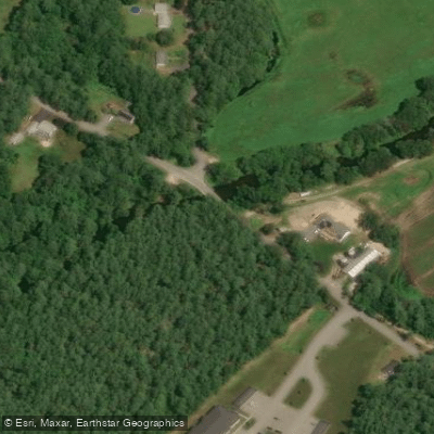
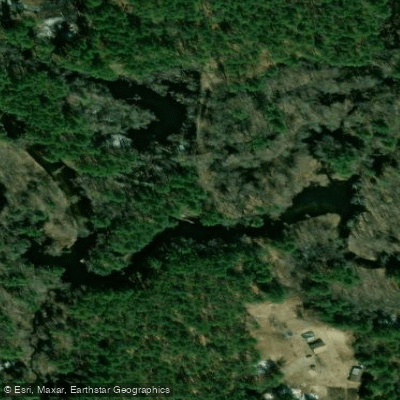
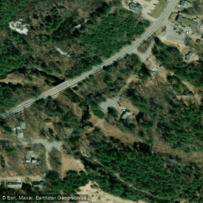
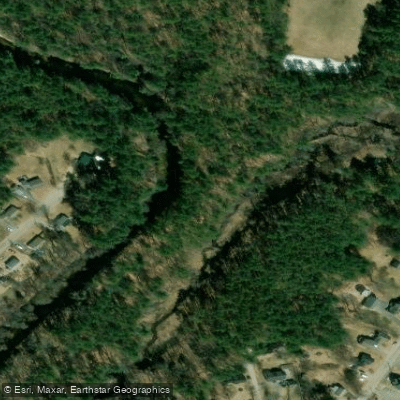
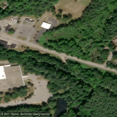
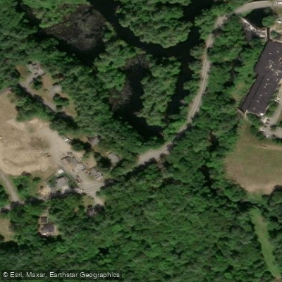
Learn how to get on Squannacook River. Uncover great paddling access points, boat ramps, and all the facilities you need for an unforgettable day on the water. Some locations shown may border or include private property. Always check property boundaries and applicable regulations before visiting. PaddleWays's Public & Private Land layer can help you plan your access with confidence.
Paddle smarter with real-time insights
Whether you're en route and conditions shift or you're looking for the best spot based on current flows, we enable you to make informed decisions on the fly.








Find Places to Paddle

Over 400,000 Places to Paddle
Every user gets free access to launch points, boat ramps, and public property parcels.


Water and weather conditions (10 day forecast)
See the best times to paddle Squannacook River and check the forecast before you go.
SQUANNACOOK RIVER NEAR WEST GROTON, MA
Paddling near Squannacook River

Wachusett Reservoir
Millers River
Borggaard Beach

Merrimack River

Massachusetts Bay
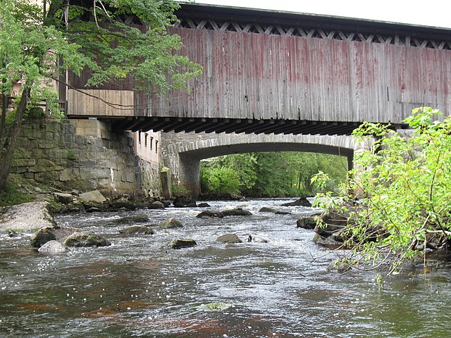
Contoocook River
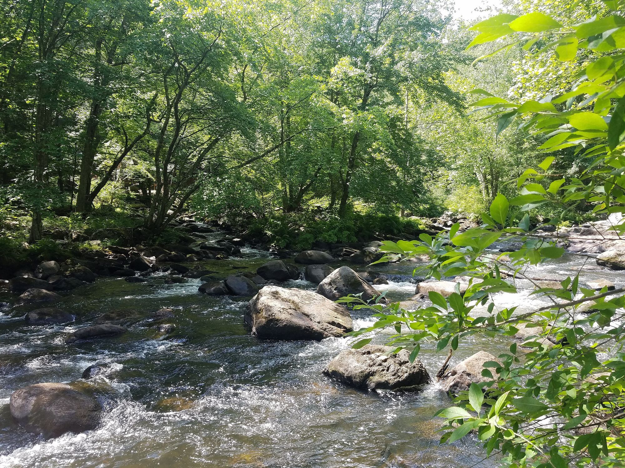
Souhegan River
Mystic River

Assabet River
Explore Massachusetts waters
Top paddling waters
Popular Cities
Loading popular cities...
Explore near Squannacook River
Access points
Nearby waters
More in Massachusetts

Smarter Paddling Starts in the App.
Paddleways gives you everything you need to plan smarter, paddle better, and own every trip from first launch to takeout.