Curated by PaddleWays
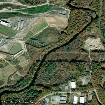
RouteFlatwater
- Distance
- 1.1 mi
- Paddle time
- ~0.5 hrs
- Put-in → take-out
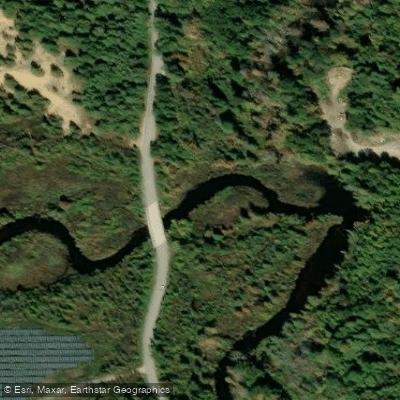
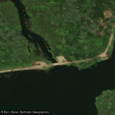
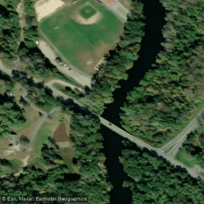
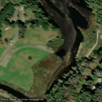
- Old Mashapaug Road Access → Westville Recreation Area Boat Ramp
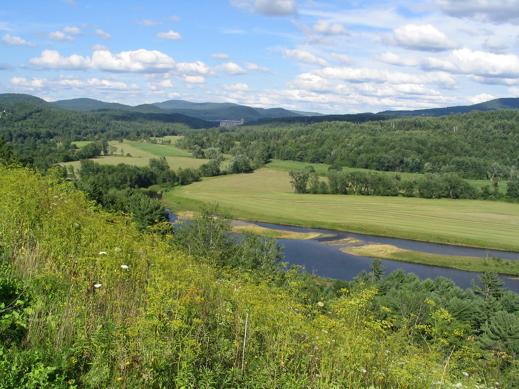
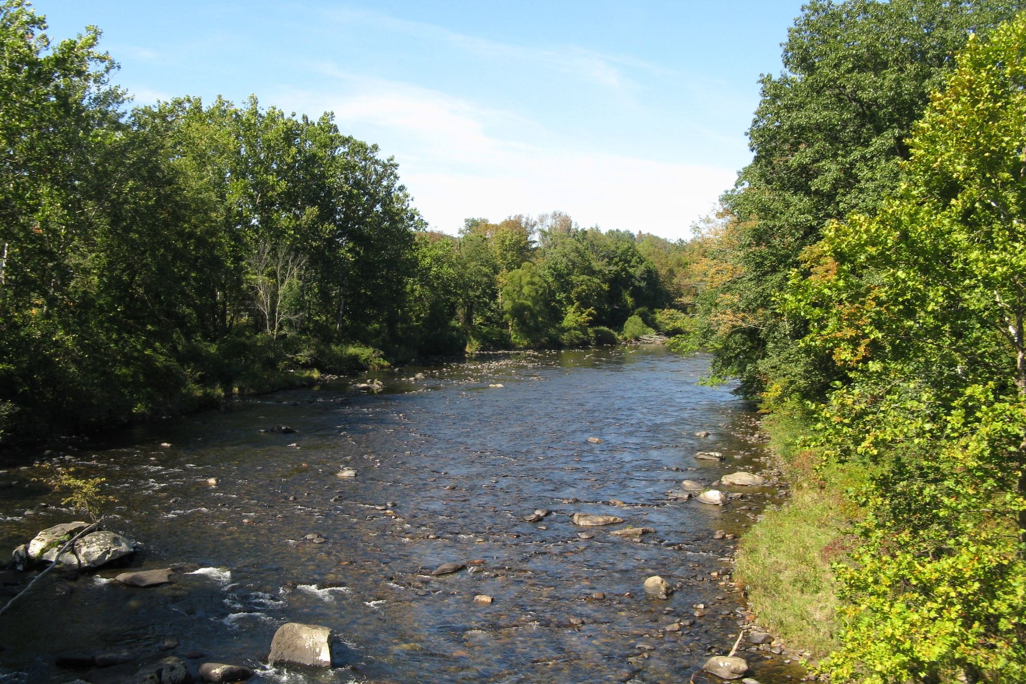
The Quinebaug River, flowing through Massachusetts and Connecticut, offers paddlers a journey through the heart of New England. This picturesque waterway winds its way through forests, fields, and charming towns, providing nearly 45 miles of paddling opportunities across various sections. The river's character changes as it flows southward, offering a range of experiences for paddlers of different skill levels.
In its upper reaches in Massachusetts, the Quinebaug presents mostly flatwater paddling, ideal for beginners and families. Sections like the 3.9-mile stretch from Holland Pond to East Brimfield Lake offer a peaceful journey through extensive wildlife habitats, with little current and no portages. As the river enters Connecticut, it gains some personality, introducing occasional quick water sections that add excitement for more experienced paddlers. The 5-mile Thompson Lake Section, for instance, provides a mix of flatwater and moving water, making it suitable for those comfortable with a bit more challenge.
The Quinebaug is best paddled from spring through fall, with water levels typically most favorable from April to June. However, paddlers should always check current conditions, as low water levels can make some sections challenging, particularly in late summer. The USGS streamgage at East Brimfield is a valuable resource for gauging water levels, with flows above 50 cubic feet per second generally providing the best paddling conditions.
Wildlife enthusiasts will find the Quinebaug a treasure trove of natural wonders. The river corridor is home to a diverse array of flora and fauna, with several sections designated as Watchable Wildlife Areas. Paddlers may spot various bird species, turtles basking on logs, and even the occasional deer or beaver along the shoreline.
Notable landmarks along the river include the East Brimfield Dam, Rogers Dam, and West Thompson Lake. These features not only add interest to the journey but also serve as important markers for different paddling sections. The river passes through or near several charming New England towns, including Sturbridge, Southbridge, and Putnam, offering opportunities for rest stops or to explore local history and culture.
The Quinebaug River holds significant historical importance, having played a crucial role in the region's industrial development. Many of the towns along its banks were once home to mills that harnessed the river's power, and remnants of this industrial heritage can still be seen today.
Safety is paramount when paddling the Quinebaug. While much of the river is suitable for beginners, all paddlers should wear life jackets and be aware of potential hazards such as low-head dams and strainers. It's also important to respect private property along the shoreline and be mindful of fishing activities, particularly in popular angling spots.
For those seeking a multi-day adventure, the Quinebaug offers several options. A popular route is the 11-mile journey from Putnam to Brooklyn, which can be extended further downstream for a longer trip. Camping options are available at locations like West Thompson Lake, which offers 24 campsites, making it an excellent base for exploring multiple sections of the river.
The Quinebaug River Water Trail, with its well-maintained access points and informative signage, makes navigation and trip planning easier for paddlers. Whether you're looking for a short, leisurely paddle or a more extended river journey, the Quinebaug offers a quintessential New England paddling experience, rich in natural beauty and historical significance.
Curated routes
Hand-picked by the PaddleWays team, with put-ins, take-outs, paddle times and the hazards along the way.
RouteFlatwater
RouteFlatwater
RouteFlatwater
RouteFlatwater
RouteFlatwater
Hazards
No paddler has reported a hazard here yet, so these are the dams, falls and big rapids on our map. Hazards change with flows and storms, so check them before you launch.
From the community
Nobody has shared a trip on Quinebaug River yet. Paddle it, then tell the next paddler how it went.
See exactly where the public can get on and off the river. Launch points and boat ramps are paired with PaddleWays' public land data so you know where you can legally land.
Public shoreline
2%of the river's shoreline is public
Most of the riverbank is private. Launch, land and camp only at public access points.
Flows, weather and a route-by-route verdict, so you know which stretch of the Quinebaug River is worth paddling today.
All Flow Stations
Live flows, marked hazards and fresh trip reports from paddlers who were just on the water, all in one place.





Every user gets free access to launch points, boat ramps, and public property parcels.
Loading popular cities...
PaddleWays gives you everything you need to plan smarter, paddle better, and own every trip from first launch to takeout.