C S Mott Lake
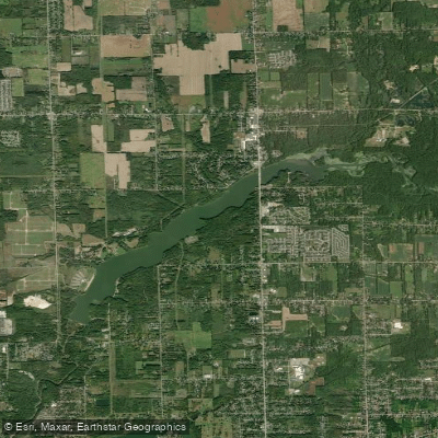
C S Mott Lake
- Boat Ramps
- 2
- Access Points
- 2
- Campsites
- 0
C.S. Mott Lake, located in Genesee County, Michigan, offers paddlers a unique experience as part of the Flint River National Water Trail. The lake is accessible via the Stanley Road boat landing, which serves as a convenient take-out point for those paddling from upstream locations such as Irish Road.
Paddlers should be aware of specific regulations on C.S. Mott Lake. It is unlawful to exceed a slow-no wake speed or to tow water skiers, water sleds, or similar devices. The use of airboats and single-celled pneumatic or inflatable rafts is prohibited. These rules ensure a peaceful environment for all lake users.
The paddling experience on C.S. Mott Lake is characterized by its tranquility and natural beauty. As paddlers approach the lake from the Flint River, they'll notice the river widening, creating an ideal spot for fishing. The lake's open waters can present a challenge, particularly in the last stretch where westerly winds may create headwinds for paddlers.
Wildlife enthusiasts will appreciate the opportunity to observe various species in their natural habitat. The surrounding area is notably undeveloped, providing a sense of remoteness that belies its proximity to urban areas.
Fall offers a particularly scenic time to paddle, with the changing colors of foliage enhancing the visual appeal. However, paddlers should note that water levels may be lower later in the year, potentially requiring occasional portaging in shallower sections of the river leading to the lake.
A typical trip from Irish Road to Mott Lake via the Flint River takes approximately three hours, offering a full day's adventure for paddlers. This route is part of the larger 72-mile Flint River Water Trail, which features 25 access sites across Lapeer and Genesee counties.
Paddlers should exercise caution and check current conditions before embarking, as water quality issues have been reported in the past. Always practice Leave No Trace principles to help preserve the natural beauty of C.S. Mott Lake and the surrounding Flint River ecosystem.
Water access, boat ramps & amenities
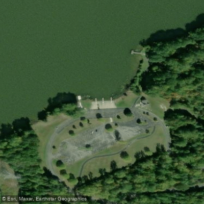
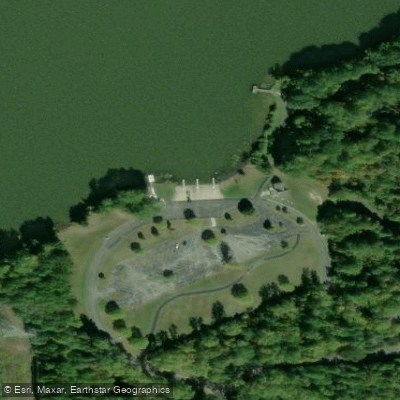
Learn how to get on C S Mott Lake. Uncover great paddling access points, boat ramps, and all the facilities you need for an unforgettable day on the water. Some locations shown may border or include private property. Always check property boundaries and applicable regulations before visiting. PaddleWays's Public & Private Land layer can help you plan your access with confidence.
Paddle smarter with real-time insights
Whether you're en route and conditions shift or you're looking for the best spot based on current flows, we enable you to make informed decisions on the fly.








Find Places to Paddle

Over 400,000 Places to Paddle
Every user gets free access to launch points, boat ramps, and public property parcels.


Water and weather conditions (10 day forecast)
See the best times to paddle C S Mott Lake and check the forecast before you go.
No forecast data available.
Paddling near C S Mott Lake
Shiawassee River
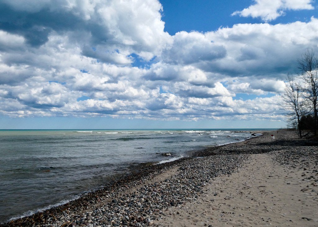
Lake Huron
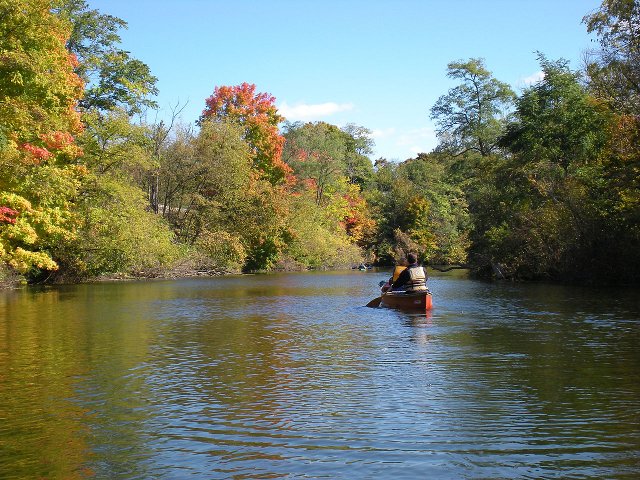
Huron River
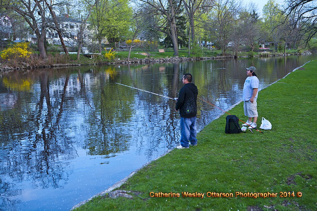
Grand River
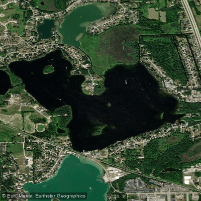
Lake Ponemah
Crotched Lake
Silver Lake
Nepessing Lake
Holloway Reservoir
Explore Michigan waters
Top paddling waters
Popular Cities
Loading popular cities...
Explore near C S Mott Lake
Access points
Nearby waters
More in Michigan

Smarter Paddling Starts in the App.
Paddleways gives you everything you need to plan smarter, paddle better, and own every trip from first launch to takeout.