Nepessing Lake
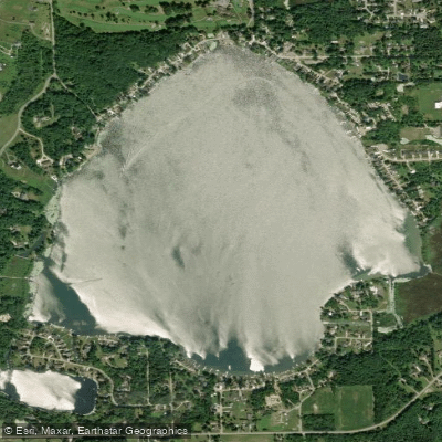
Nepessing Lake
- Boat Ramps
- 2
- Access Points
- 2
- Campsites
- 1
Lake Nepessing is a 414-acre lake located 3 miles southwest of Lapeer, Michigan. A public DNR boat access site on the north shore off Hunt Road provides the primary launch point for paddlers, with a gravel parking area and concrete launch pads that can accommodate up to 16 boats.
The lake has an average depth of 10 feet and reaches a maximum depth of 25 feet, with 84% of the surface area being 10 feet or less in depth. The shoreline is moderately developed with residential properties, and approximately 50% of the shoreline is artificially armored with seawall. An unnamed outlet on the southeast shore flows to Farmers Creek, controlled by a metal standpipe structure that maintains a fixed water level at 831.7 feet above sea level.
Lake Nepessing is a warm-water, mesotrophic lake. During summer, the lake develops a thermocline between 17-22 feet deep. The lake supports diverse wildlife, including various fish species such as largemouth bass, redear sunfish, bluegill, and northern pike.
In 2012, the boat launch underwent improvements including paving of driveways and parking areas, installation of an accessible sidewalk, and addition of environmentally friendly features like permeable pavement and a native species rain garden to manage runoff.
While powerboats are permitted on the lake, the moderate size and relatively shallow depth make it suitable for paddling. The lake is shared by anglers and recreational boaters, and its size offers several hours of shoreline exploration opportunities.
Water access, boat ramps & amenities
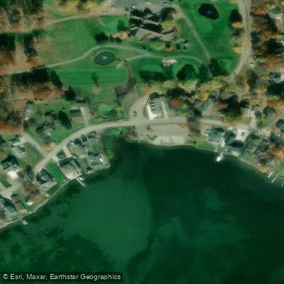
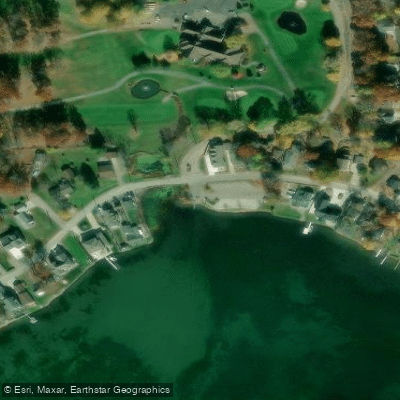
Learn how to get on Nepessing Lake. Uncover great paddling access points, boat ramps, and all the facilities you need for an unforgettable day on the water. Some locations shown may border or include private property. Always check property boundaries and applicable regulations before visiting. PaddleWays's Public & Private Land layer can help you plan your access with confidence.
Paddle smarter with real-time insights
Whether you're en route and conditions shift or you're looking for the best spot based on current flows, we enable you to make informed decisions on the fly.








Find Places to Paddle

Over 400,000 Places to Paddle
Every user gets free access to launch points, boat ramps, and public property parcels.


Water and weather conditions (10 day forecast)
See the best times to paddle Nepessing Lake and check the forecast before you go.
No forecast data available.
Paddling near Nepessing Lake
Shiawassee River
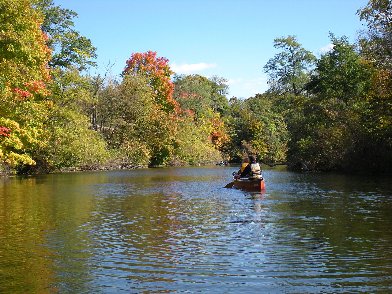
Huron River
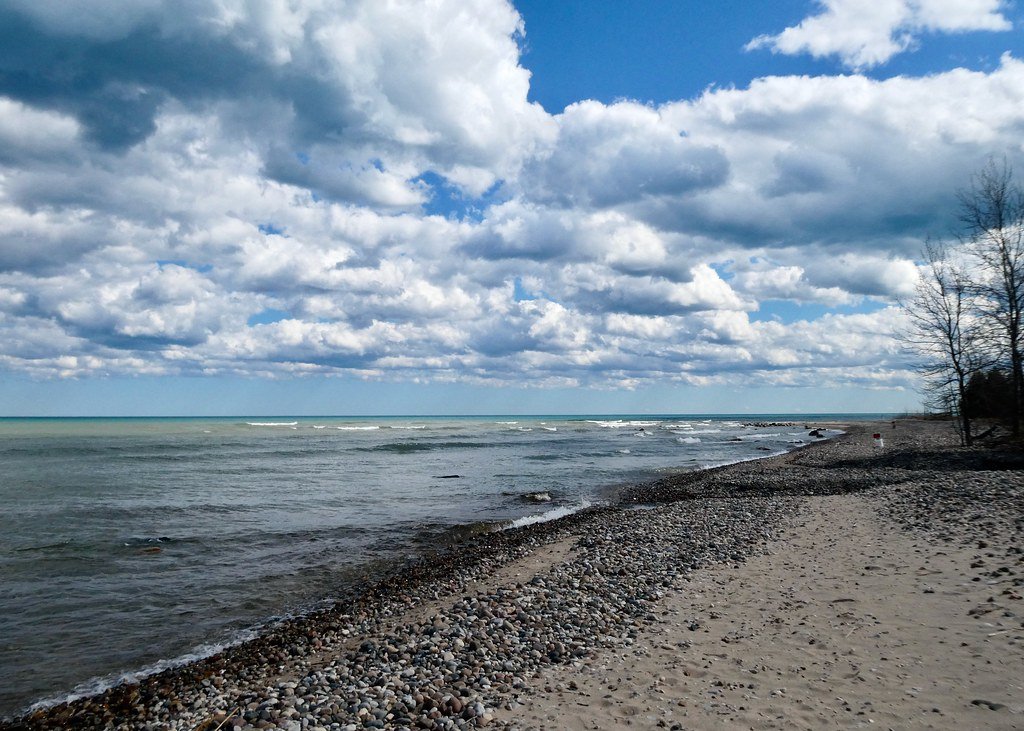
Lake Huron
C S Mott Lake
Lake Ponemah
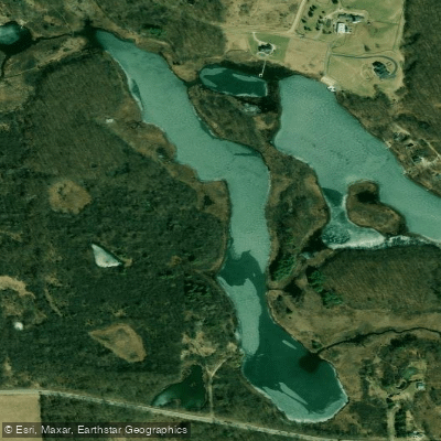
Crotched Lake
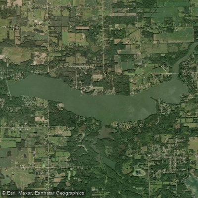
Holloway Reservoir
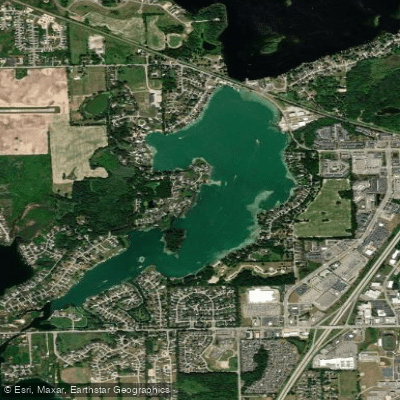
Silver Lake
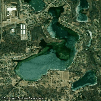
Bush Lake
Explore Michigan waters
Top paddling waters
Popular Cities
Loading popular cities...
Explore near Nepessing Lake
Access points
Nearby waters
More in Michigan

Smarter Paddling Starts in the App.
Paddleways gives you everything you need to plan smarter, paddle better, and own every trip from first launch to takeout.