Lake Ponemah
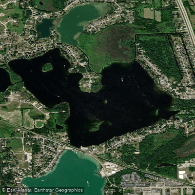
Lake Ponemah
- Boat Ramps
- 3
- Access Points
- 3
- Campsites
- 1
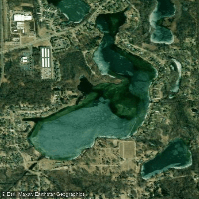
Lake Ponemah spans 376 acres in Genesee County, Michigan, featuring a maximum depth of 77 feet and several islands dotting its waters. The lake connects to Tupper Lake and Squaw Lake, with the Shiawassee River flowing through it, creating an interconnected waterway system ideal for extended paddling excursions.
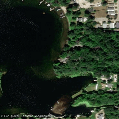
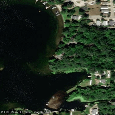
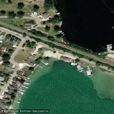
The primary access point is the DNR public boat launch located off North Road between Ponemah Drive and Rolston Road. This facility offers a parking lot with 35 spaces and restrooms. A Michigan Recreation Passport is required for vehicle entry. An alternative put-in option exists via the Linden Mill Pond route, which allows paddlers to travel upstream to Lake Ponemah through a 3.25-mile stretch.
Paddlers should exercise caution around motorized boat traffic, particularly on weekends. The lake experiences higher winds at times, requiring more advanced paddling skills during these conditions. Heavy vegetation may be present in some areas, requiring navigation around plant growth. The shoreline is predominantly residential, featuring everything from classic cottages to large mansions.
For a recommended day trip, paddlers can start at Linden Mill Pond and travel upstream through Tupper Lake to reach Lake Ponemah, then return - a route suitable for beginners under calm conditions but requiring intermediate skills during busy periods or windy weather. This round-trip adventure offers varied scenery including forested areas and residential waterfronts.
The lake supports diverse wildlife, with abundant fish species including bluegill, black crappie, largemouth and smallmouth bass, Northern pike, sunfish, walleye, and yellow perch. The Ponemah Lake Lodge, located waterside, offers docking access and amenities for paddlers seeking refreshments or a meal break, with outdoor dining available seasonally.
Water access, boat ramps & amenities
Learn how to get on Lake Ponemah. Uncover great paddling access points, boat ramps, and all the facilities you need for an unforgettable day on the water. Some locations shown may border or include private property. Always check property boundaries and applicable regulations before visiting. PaddleWays's Public & Private Land layer can help you plan your access with confidence.
Paddle smarter with real-time insights
Whether you're en route and conditions shift or you're looking for the best spot based on current flows, we enable you to make informed decisions on the fly.








Find Places to Paddle

Over 400,000 Places to Paddle
Every user gets free access to launch points, boat ramps, and public property parcels.


Water and weather conditions (10 day forecast)
See the best times to paddle Lake Ponemah and check the forecast before you go.
No forecast data available.
Paddling near Lake Ponemah
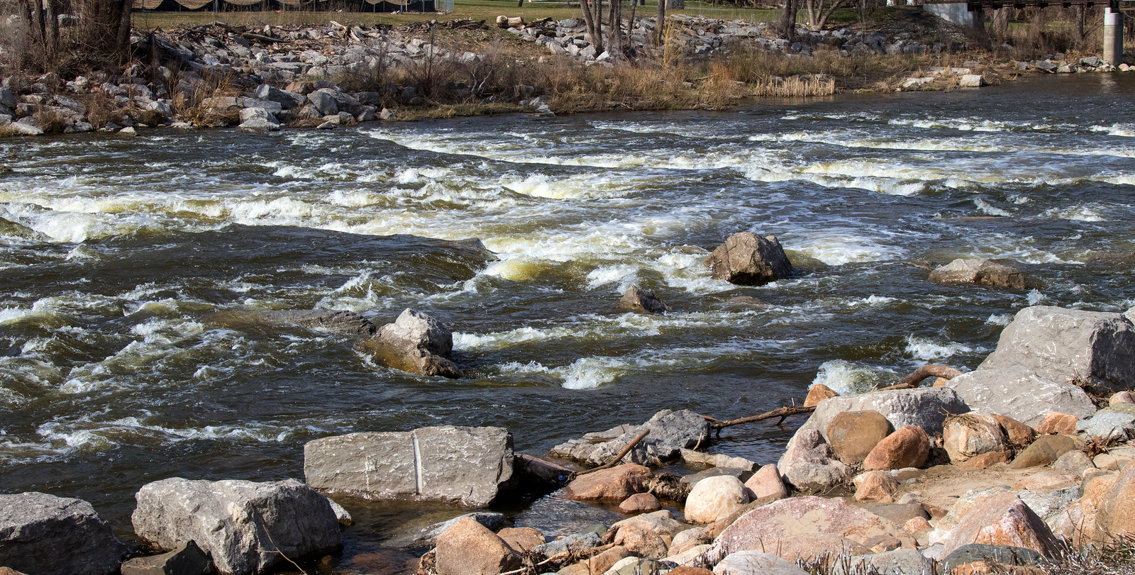
Shiawassee River
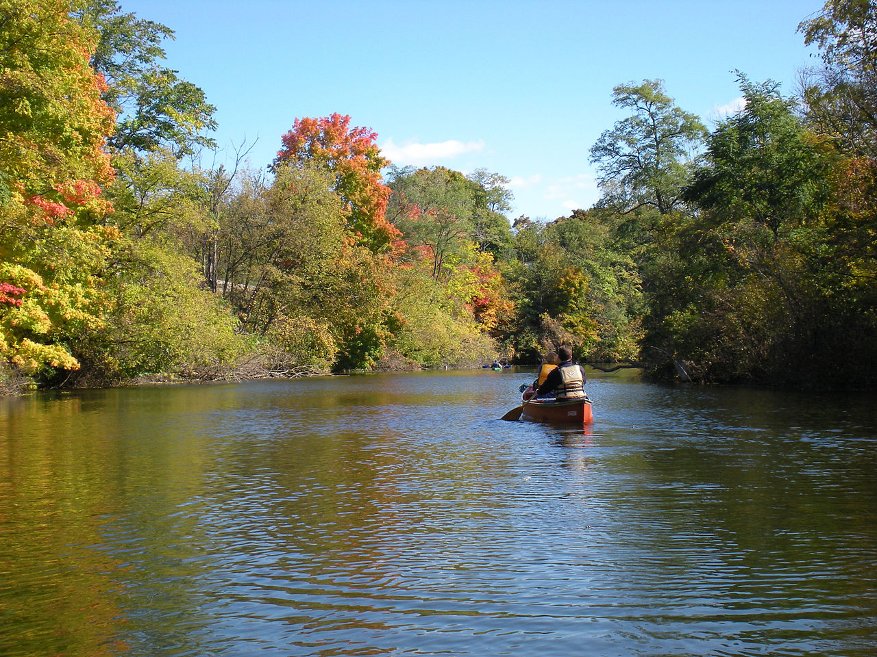
Huron River
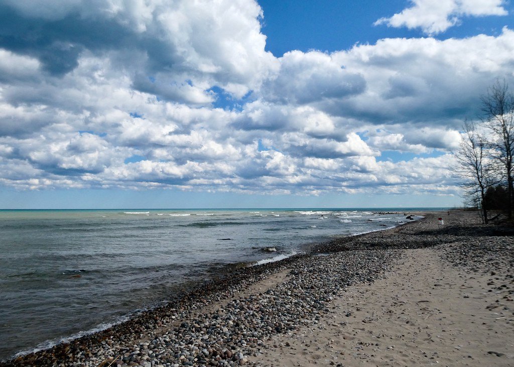
Lake Huron
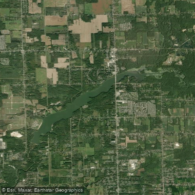
C S Mott Lake
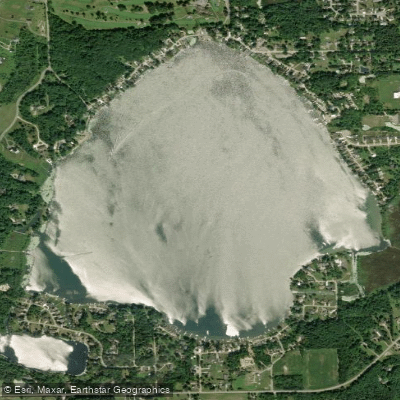
Nepessing Lake
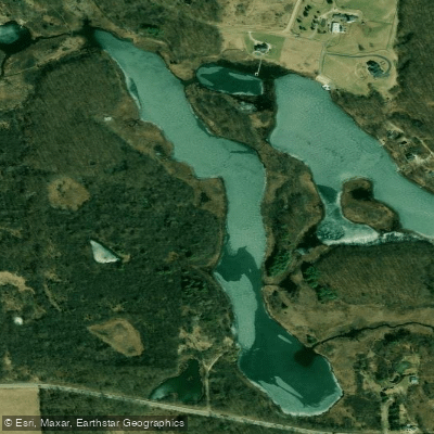
Crotched Lake
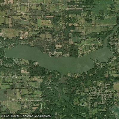
Holloway Reservoir
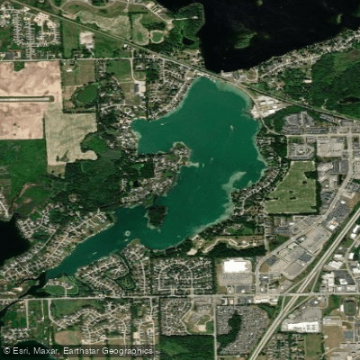
Silver Lake
Bush Lake
Explore Michigan waters
Top paddling waters
Popular Cities
Loading popular cities...
Explore near Lake Ponemah
Access points
Nearby waters
More in Michigan

Smarter Paddling Starts in the App.
Paddleways gives you everything you need to plan smarter, paddle better, and own every trip from first launch to takeout.