Detroit River
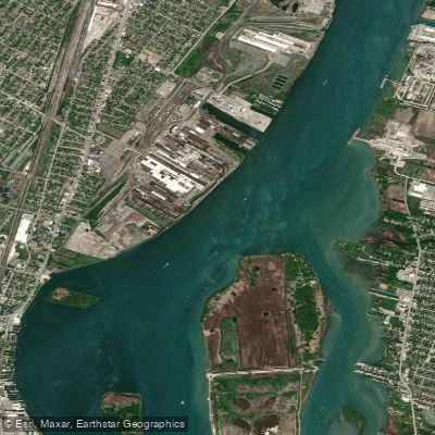
Detroit River
- Boat Ramps
- 0
- Access Points
- 0
- Campsites
- 0
The Detroit River is a 32-mile long international waterway that flows south from Lake St. Clair to Lake Erie, forming part of the border between Michigan and Ontario, Canada. This urban river passes through the heart of Detroit and Windsor, serving as a crucial shipping channel connecting the upper and lower Great Lakes.
Paddling opportunities on the Detroit River offer a unique blend of urban and natural experiences. The river can be divided into three main sections: the upper urban stretch from Lake St. Clair to the Ambassador Bridge, the industrial midsection, and the lower section rich with islands and wildlife habitat. A network of canals in the Jefferson Chalmers neighborhood provides calm waters for beginners.
The Detroit River is primarily flatwater, suitable for paddlers of various skill levels. However, paddlers should be aware of strong currents, especially in the shipping channel, and boat traffic ranging from freighters to pleasure craft.
Spring through fall are ideal paddling seasons, with summer offering the warmest conditions. Water levels remain relatively stable year-round due to regulation by the Great Lakes system.
The river is part of the Detroit River International Wildlife Refuge, North America's only international wildlife refuge. It supports diverse ecosystems and is renowned for walleye fishing. Paddlers may spot waterfowl, raptors, and even the occasional bald eagle.
Key landmarks include Belle Isle (home to the Belle Isle Aquarium and William Livingstone Memorial Lighthouse), the Renaissance Center skyline, Ambassador Bridge, and Zug Island. The river played a significant role in the Underground Railroad and Detroit's industrial development.
Major access points include Kayak Cove in Detroit's Shanfield Shores Park, Belle Isle, and Bishop Park in Wyandotte. These launch sites are easily accessible from Detroit and its suburbs.
The Detroit River holds immense historical and cultural significance, from its importance to Indigenous peoples to its role in the War of 1812 and the automobile industry's growth. Today, it symbolizes the rebirth of Detroit and the region's commitment to environmental restoration.
Safety considerations include being visible to larger vessels, checking weather conditions, and adhering to international border regulations. Paddlers should carry proper safety equipment and be aware of water quality advisories.
While most trips are day excursions, multi-day adventures can be planned by combining the Detroit River with explorations of Lake St. Clair or Lake Erie, offering a comprehensive Great Lakes paddling experience.
Water access, boat ramps & amenities
Learn how to get on Detroit River. Uncover great paddling access points, boat ramps, and all the facilities you need for an unforgettable day on the water. Some locations shown may border or include private property. Always check property boundaries and applicable regulations before visiting. PaddleWays's Public & Private Land layer can help you plan your access with confidence.
Paddle smarter with real-time insights
Whether you're en route and conditions shift or you're looking for the best spot based on current flows, we enable you to make informed decisions on the fly.








Find Places to Paddle

Over 400,000 Places to Paddle
Every user gets free access to launch points, boat ramps, and public property parcels.


Water and weather conditions (10 day forecast)
See the best times to paddle Detroit River and check the forecast before you go.
DETROIT RIVER AT FORT WAYNE AT DETROIT, MI
All Flow Stations
Paddling near Detroit River

Lake Erie
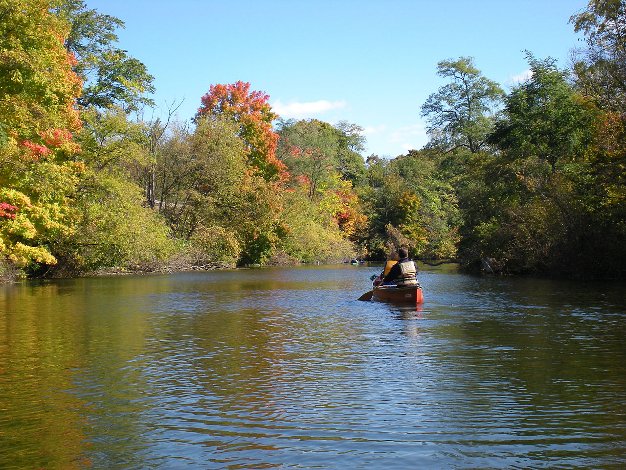
Huron River
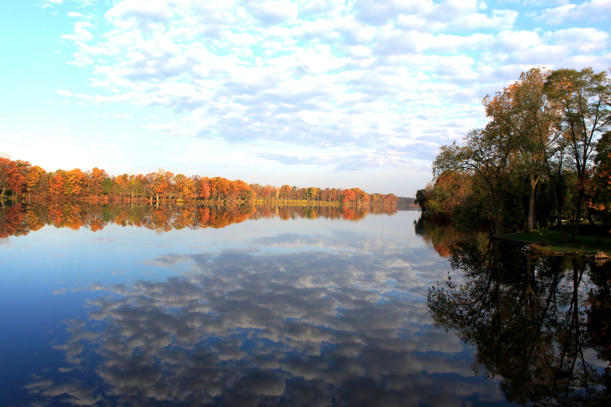
River Raisin
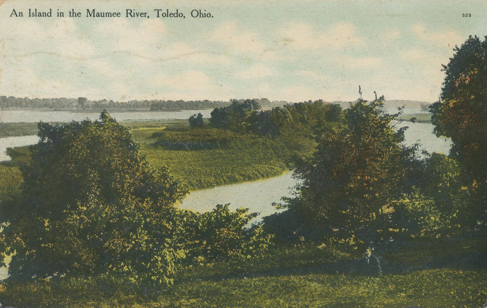
Maumee River
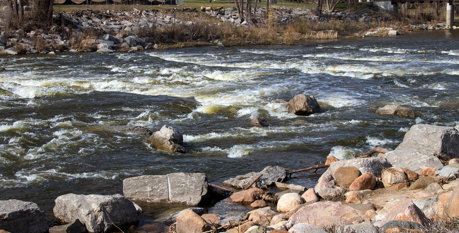
Shiawassee River
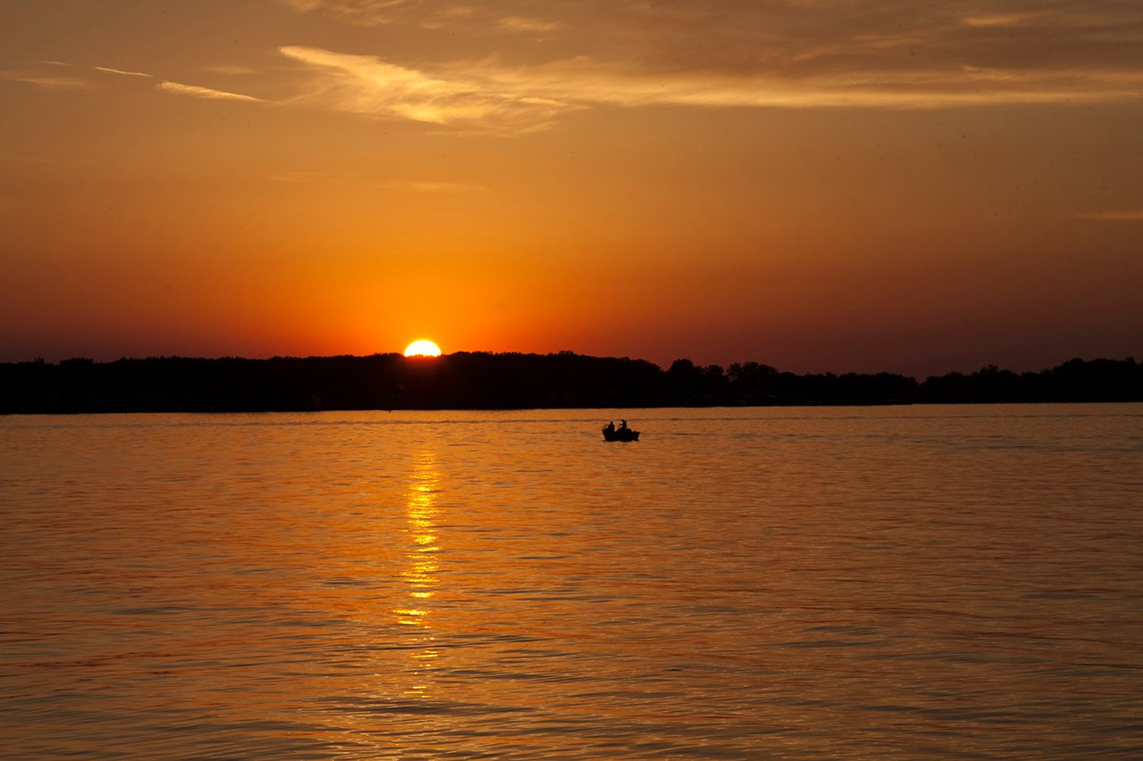
Lake Saint Clair
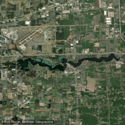
Belleville Lake
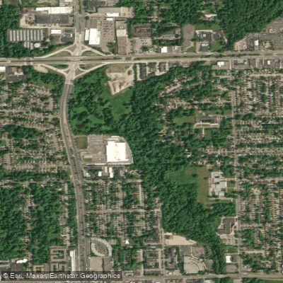
River Rouge
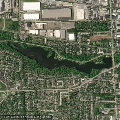
Newburgh Lake
Explore Michigan waters
Top paddling waters
Popular Cities
Loading popular cities...
Explore near Detroit River
Access points
Nearby waters
More in Michigan

Smarter Paddling Starts in the App.
Paddleways gives you everything you need to plan smarter, paddle better, and own every trip from first launch to takeout.