Lake Sherwood
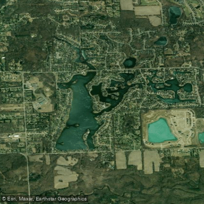
Lake Sherwood
- Boat Ramps
- 0
- Access Points
- 0
- Campsites
- 10
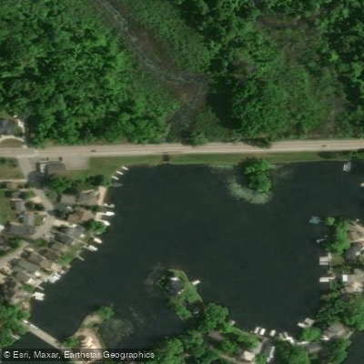
Lake Sherwood in Commerce Township, Michigan spans approximately 258 acres and supports a variety of recreational activities. Access to the lake is restricted - it is a private lake that requires either lakefront residency or direct permission from a lake resident who must accompany visitors. The lake has a boat ramp that operates on seasonal hours, typically opening at 8:00 AM and closing between 5:00-9:00 PM depending on the season.
The lake features several islands available for recreation, including Remo's U-turn at the south end, Skiers Island at mid-lake, and Higgins Island at the north end. Each island has docking facilities available for temporary use. Electric motors are permitted on the lake, but no other motorized vessels are allowed, making it conducive to quiet paddling activities.
Fish species present include bluegill, crappie, yellow perch, and northern pike, which can add interest for anglers who paddle. The lake reaches depths up to 20 feet. The shoreline extends approximately 12 miles, offering numerous coves and inlets to explore.
The lake association maintains strict oversight of activities on the water. Visitors must adhere to all local regulations and obtain proper permissions before accessing the lake. The boat launch is monitored by security cameras and access is controlled through a gate card system.
For permitted paddlers, amenities include several docks throughout the lake system. The surrounding area features mature trees along much of the shoreline, providing scenic views and occasional wildlife watching opportunities. The lake's location in Oakland County places it about 22 minutes from Oakland County International Airport and approximately six minutes from Detroit Medical Huron Valley-Sinai Hospital.
Water access, boat ramps & amenities
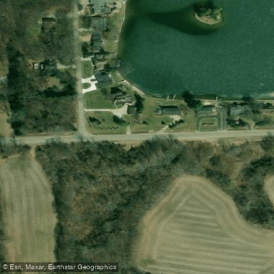
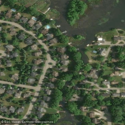
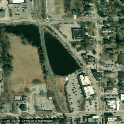
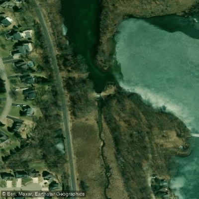
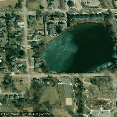
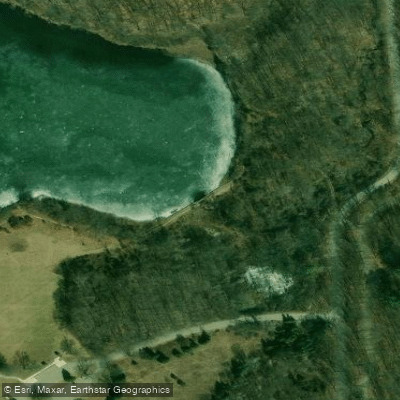
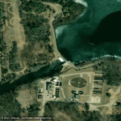
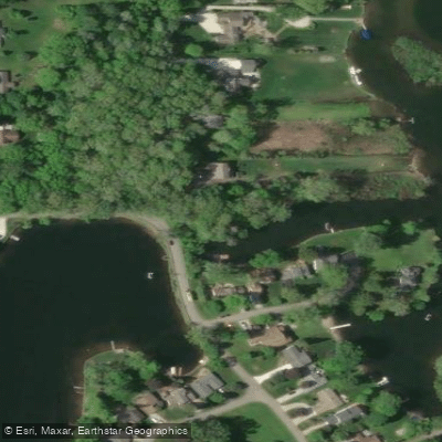
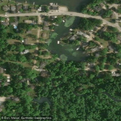
Learn how to get on Lake Sherwood. Uncover great paddling access points, boat ramps, and all the facilities you need for an unforgettable day on the water. Some locations shown may border or include private property. Always check property boundaries and applicable regulations before visiting. PaddleWays's Public & Private Land layer can help you plan your access with confidence.
Paddle smarter with real-time insights
Whether you're en route and conditions shift or you're looking for the best spot based on current flows, we enable you to make informed decisions on the fly.








Find Places to Paddle

Over 400,000 Places to Paddle
Every user gets free access to launch points, boat ramps, and public property parcels.


Water and weather conditions (10 day forecast)
See the best times to paddle Lake Sherwood and check the forecast before you go.
No forecast data available.
Paddling near Lake Sherwood
Huron River
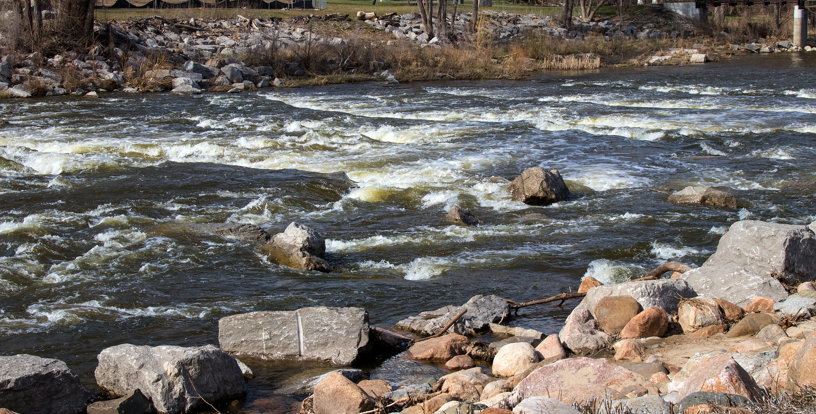
Shiawassee River

Lake Erie
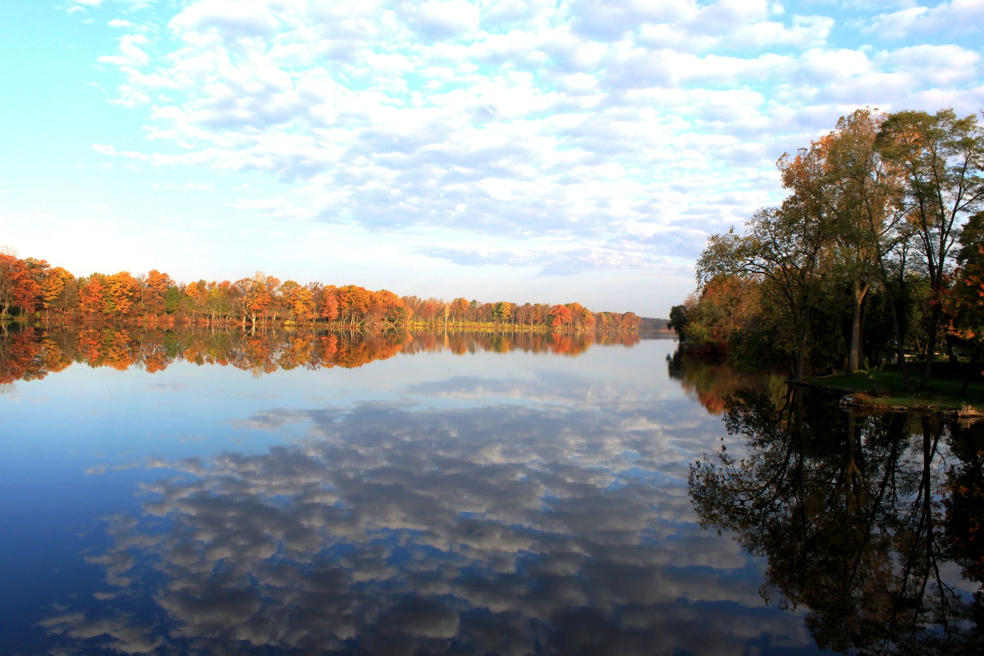
River Raisin
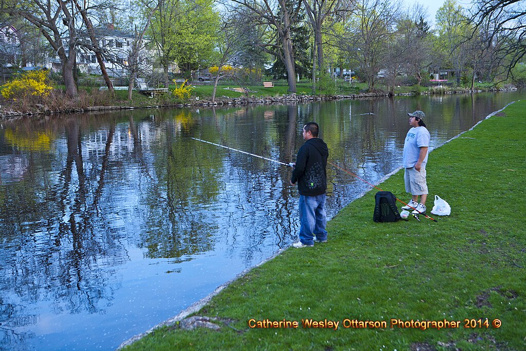
Grand River
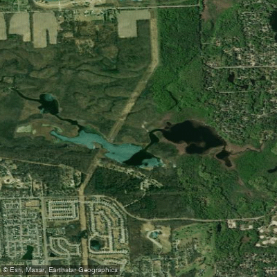
Proud Lake
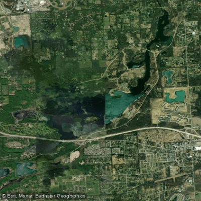
Kent Lake
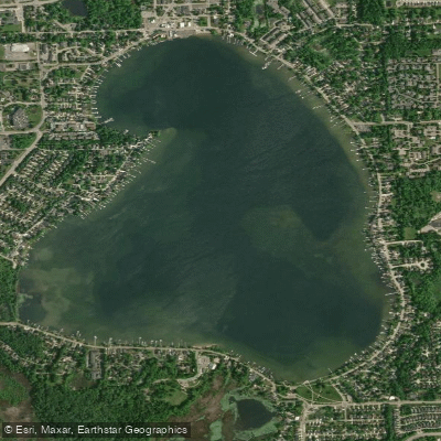
Walled Lake
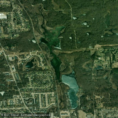
Moore Lake
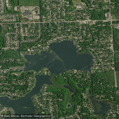
North Commerce Lake
Explore Michigan waters
Top paddling waters
Popular Cities
Loading popular cities...
Explore near Lake Sherwood
Access points
Nearby waters
More in Michigan

Smarter Paddling Starts in the App.
Paddleways gives you everything you need to plan smarter, paddle better, and own every trip from first launch to takeout.