Loon Lake
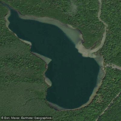
Loon Lake
- Boat Ramps
- 0
- Access Points
- 0
- Campsites
- 2
Loon Lake sits on the Lower Platte River in Benzie County, Michigan, within the Sleeping Bear Dunes National Lakeshore. This 59-acre lake serves as a scenic midpoint on one of the region's most popular paddling routes, offering paddlers a brief respite from the river's gentle current.
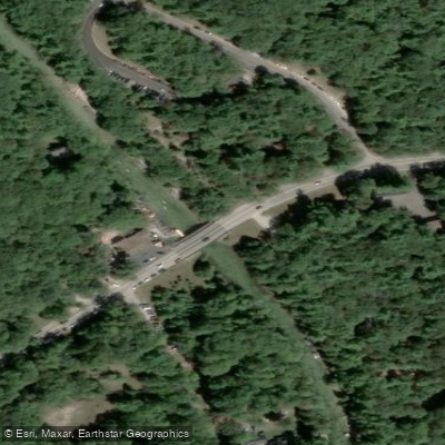
**Access and Route** The primary access is via the Loon Lake boat launch on M-22, which features a hard-surface ramp, parking, restrooms, and a picnic pavilion. The launch includes an EZ Launch roller system for kayaks and canoes with ADA accessibility. The Platte River enters the lake from the east and exits from the northwest corner. Paddlers traveling the full Lower Platte route will cross approximately 0.5-0.6 miles of the lake, typically following the eastern and northeastern shoreline.
**Character and Conditions** Loon Lake is notably deep with near-shore drop-offs around its perimeter. The water is characteristically clear, fed by the spring-influenced Platte River system, though it can carry tannins giving it a tea-colored appearance later in summer. The lake is surrounded by National Lakeshore parkland, maintaining a natural, undeveloped shoreline. On the north side, there's a small inlet creek leading to Mud Lake, which can be explored by kayak when water levels permit—approximately 600 feet up through some fallen trees before opening to the wild 59-acre lake.
**Considerations** A National Park Pass is required for access, as the area lies within Sleeping Bear Dunes National Lakeshore. The Lower Platte River route, including Loon Lake, is extremely popular during summer, particularly on weekends. Early morning or weekday paddling offers a more tranquil experience. Downstream from the lake, paddlers encounter a fish weir that requires portage during salmon season (typically closed around Labor Day through fall). The gentle current and scenic setting make this an ideal family paddling destination, though crowds during peak season should be anticipated.
Water access, boat ramps & amenities
Learn how to get on Loon Lake. Uncover great paddling access points, boat ramps, and all the facilities you need for an unforgettable day on the water. Some locations shown may border or include private property. Always check property boundaries and applicable regulations before visiting. PaddleWays's Public & Private Land layer can help you plan your access with confidence.
Paddle smarter with real-time insights
Whether you're en route and conditions shift or you're looking for the best spot based on current flows, we enable you to make informed decisions on the fly.








Find Places to Paddle

Over 400,000 Places to Paddle
Every user gets free access to launch points, boat ramps, and public property parcels.


Water and weather conditions (10 day forecast)
See the best times to paddle Loon Lake and check the forecast before you go.
No forecast data available.
Paddling near Loon Lake

Lake Michigan
Betsie River
Manistee River
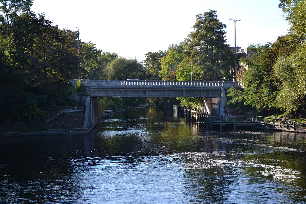
Boardman River
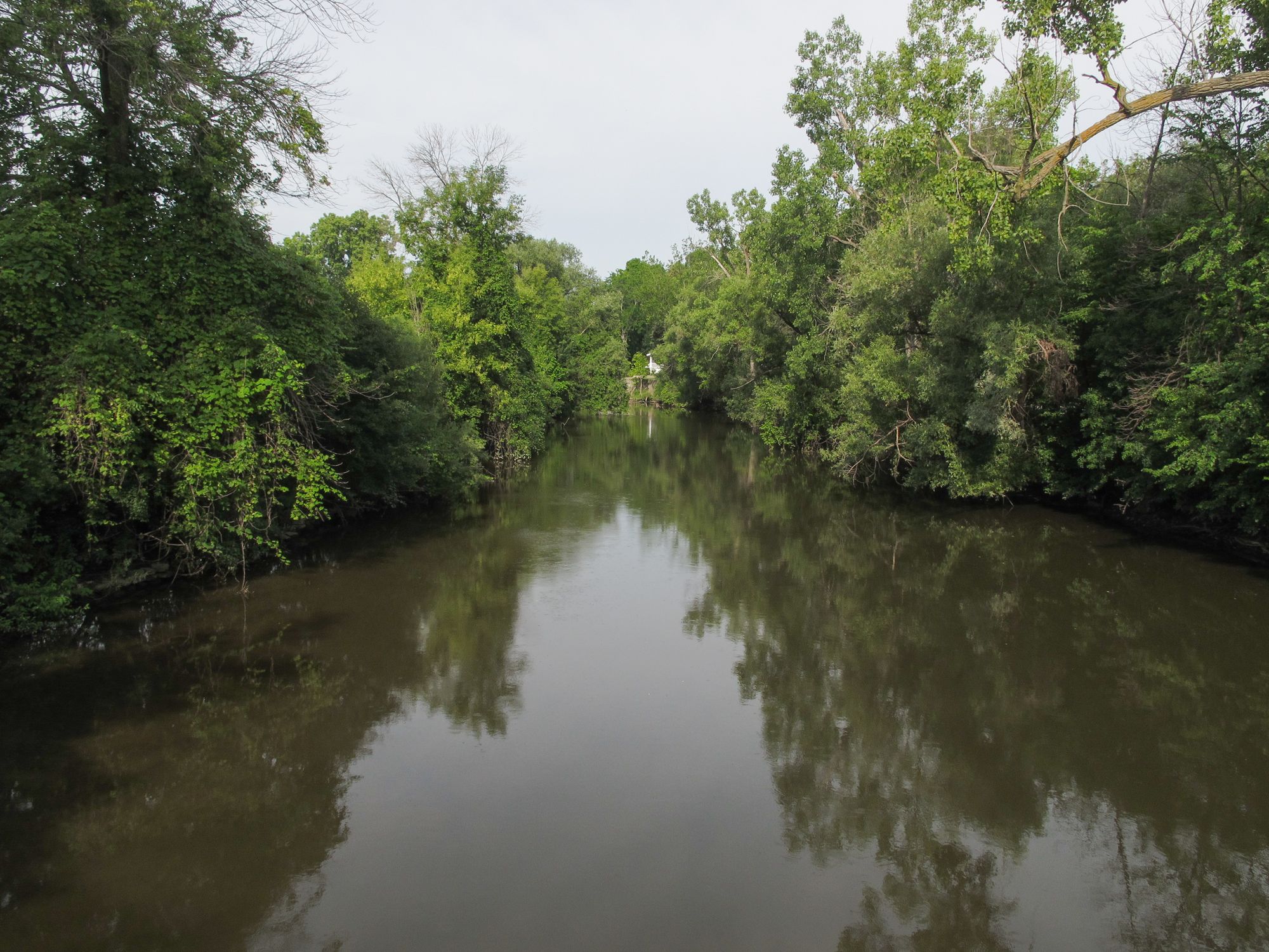
Pine River
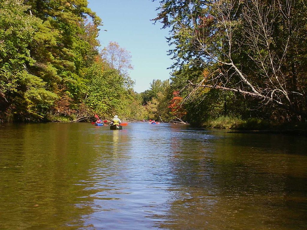
Pere Marquette River
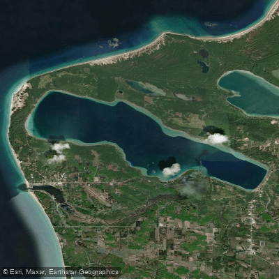
Crystal Lake
Platte River
Bear Creek
Glen Lake
Explore Michigan waters
Top paddling waters
Popular Cities
Loading popular cities...
Explore near Loon Lake

Smarter Paddling Starts in the App.
Paddleways gives you everything you need to plan smarter, paddle better, and own every trip from first launch to takeout.