Curated by PaddleWays
RouteFlatwater
- Distance
- 4.1 mi
- Paddle time
- ~1.5 hrs
- Best for
- Beginners
- Put-in → take-out
- Boat Ramp → Murley Road Access
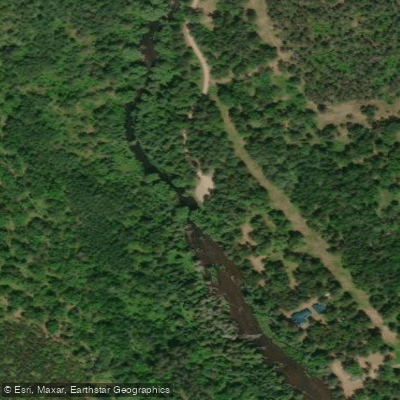
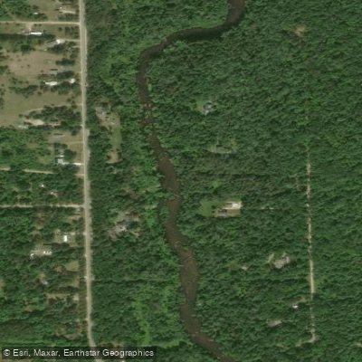
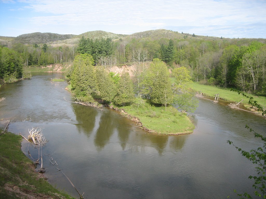
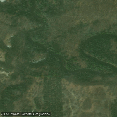
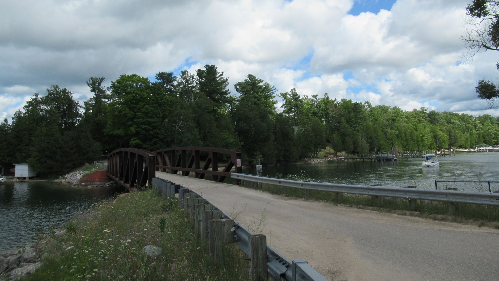
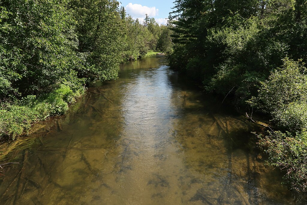
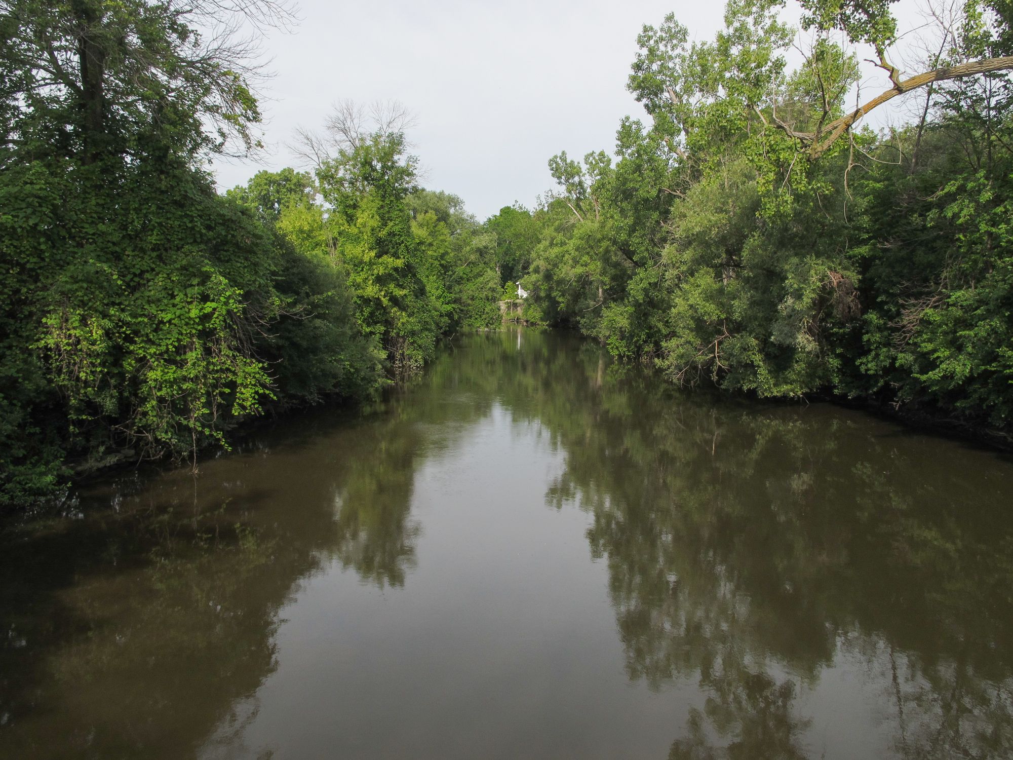
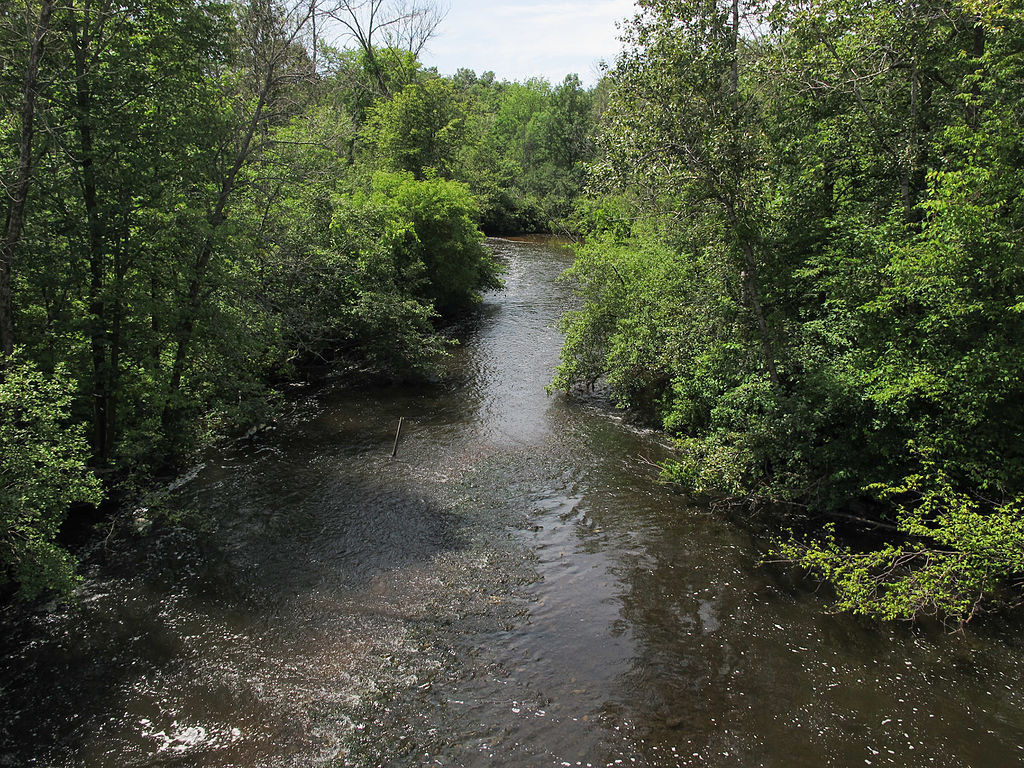
The North Branch Au Sable River is a pristine waterway flowing through the heart of northern Michigan's Crawford County. Originating near Lovells, this tributary of the main Au Sable River meanders southeastward through dense forests and glacial valleys before joining the mainstream near Grayling. Known for its crystal-clear waters and excellent trout habitat, the North Branch offers paddlers a serene journey through some of Michigan's most picturesque landscapes.
The river's gentle current and lack of significant rapids make it ideal for canoeists and kayakers of all skill levels, though some basic river reading abilities are recommended. One popular paddling section is the Lovells Road Ramble, a roughly 5-mile stretch beginning at the Dam 4 Road fishing access site off Lovells Road and ending at the Morley Road access point. This segment epitomizes the North Branch's character - a peaceful float through towering pines and cedars, with occasional glimpses of wildlife along the banks.
The river's flow remains relatively consistent throughout the paddling season, typically running from late spring through early fall. However, water levels can fluctuate based on rainfall and snowmelt, so checking current conditions is advisable. Summer weekends see increased traffic, making weekdays or shoulder seasons preferable for those seeking solitude.
The North Branch's ecosystem supports a diverse array of flora and fauna. Paddlers may spot white-tailed deer, river otters, and a variety of bird species including kingfishers and bald eagles. The river is renowned for its brown and brook trout populations, attracting anglers from across the region.
Key landmarks along the North Branch include the historic Lovells Bridge and several rustic campgrounds that offer overnight options for multi-day trips. The annual North Branch of the Au Sable River (non) Cleanup event, typically held in early June, highlights the community's commitment to preserving this natural treasure.
Access points are well-maintained, with the town of Lovells serving as the primary gateway to the North Branch. Paddlers should be aware of private property boundaries and respect the river's delicate ecosystem. Michigan fishing licenses are required for anglers, and catch-and-release practices are encouraged to maintain the river's legendary trout fishery. The North Branch Au Sable River stands as a testament to Michigan's rich outdoor heritage, offering paddlers a chance to experience the tranquil beauty of the state's northern wilderness.
Curated routes
Hand-picked by the PaddleWays team, with put-ins, take-outs, paddle times and the hazards along the way.
RouteFlatwater
Hazards
No hazards are marked on North Branch Au Sable River yet. That is not the same as none being there: if you find one, report it for the next paddler.
From the community
Nobody has shared a trip on North Branch Au Sable River yet. Paddle it, then tell the next paddler how it went.
See exactly where the public can get on and off the river. Launch points and boat ramps are paired with PaddleWays' public land data so you know where you can legally land.
Public shoreline
3%of the river's shoreline is public
Most of the riverbank is private. Launch, land and camp only at public access points.
Flows, weather and a route-by-route verdict, so you know which stretch of the North Branch Au Sable River is worth paddling today.
Live flows, marked hazards and fresh trip reports from paddlers who were just on the water, all in one place.





Every user gets free access to launch points, boat ramps, and public property parcels.

Loading popular cities...
PaddleWays gives you everything you need to plan smarter, paddle better, and own every trip from first launch to takeout.