Norvell Lake
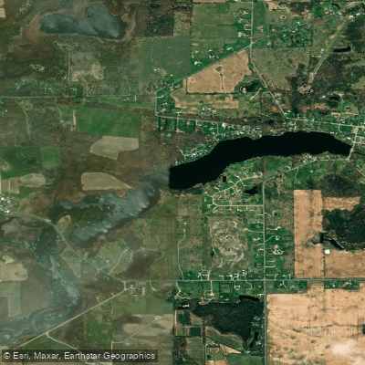
Norvell Lake
- Boat Ramps
- 1
- Access Points
- 1
- Campsites
- 6
Norvell Lake is located in Michigan and serves as part of the River Raisin water system. The lake is positioned along the River Raisin, with the Norvell Dam creating a 13-foot drop at the lake's outlet.
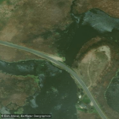
**Access and Launch Points** The primary access point for paddlers is the Norvell Lake Boat Launch, which features a gravel surface suitable for medium watercraft. This launch provides direct access to the lake for kayakers and canoeists.
**Geographic Context** Norvell Lake sits within the broader River Raisin watershed, which extends from inland areas toward Lake Erie.
The lake is positioned upstream from several other dams and waterway features, including the Sharon Mills Dam (10 feet) and Brooklyn Dam (22 feet) further upstream, and downstream connections toward Manchester and eventually Lake Erie.
**Nearby Features** The lake area includes multiple parks and natural areas within reasonable distance, including Vineyard Lake (2. 8 miles away), various nature preserves, and numerous other boat launches along the River Raisin system.
The surrounding region offers extensive paddling opportunities with over 1,300 public boating access sites throughout Michigan's water trail system. **Regulations** As with all Michigan waterways, paddlers must carry a U. S.
Coast Guard-approved personal flotation device. Michigan does not require registration for human-powered kayaks, though motorized watercraft have different requirements.
The lake is part of Michigan's extensive network of paddling destinations that spans thousands of miles of water trails across inland lakes, rivers, and Great Lakes shorelines.
Water access, boat ramps & amenities
Learn how to get on Norvell Lake. Uncover great paddling access points, boat ramps, and all the facilities you need for an unforgettable day on the water. Some locations shown may border or include private property. Always check property boundaries and applicable regulations before visiting. PaddleWays's Public & Private Land layer can help you plan your access with confidence.
Paddle smarter with real-time insights
Whether you're en route and conditions shift or you're looking for the best spot based on current flows, we enable you to make informed decisions on the fly.








Find Places to Paddle

Over 400,000 Places to Paddle
Every user gets free access to launch points, boat ramps, and public property parcels.


Water and weather conditions (10 day forecast)
See the best times to paddle Norvell Lake and check the forecast before you go.
No forecast data available.
Paddling near Norvell Lake
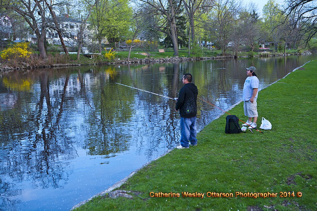
Grand River
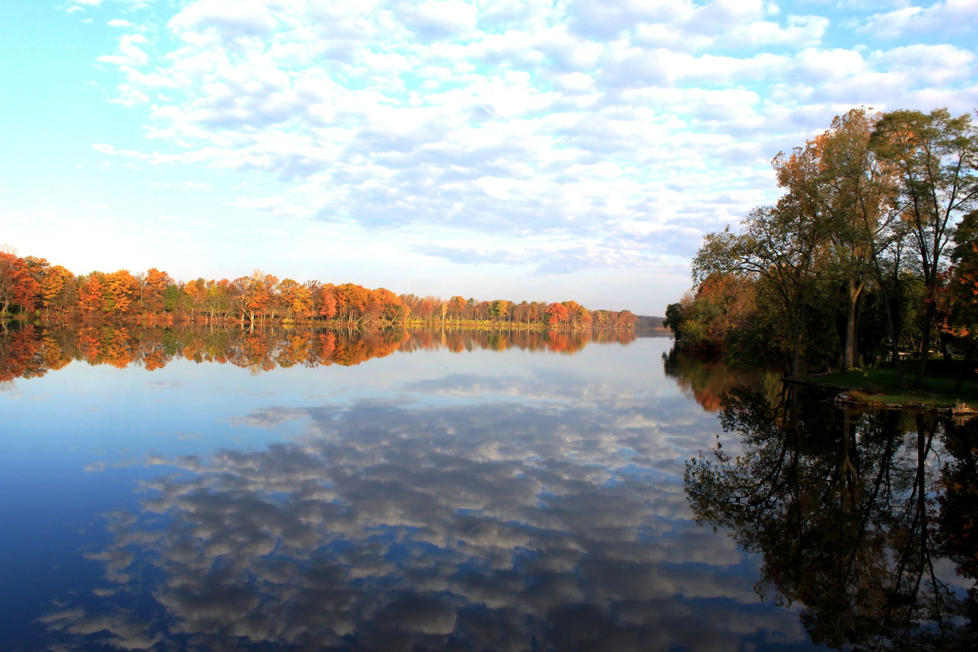
River Raisin
Kalamazoo River
Huron River
Shiawassee River
Center Lake
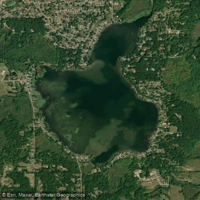
Gilletts Lake
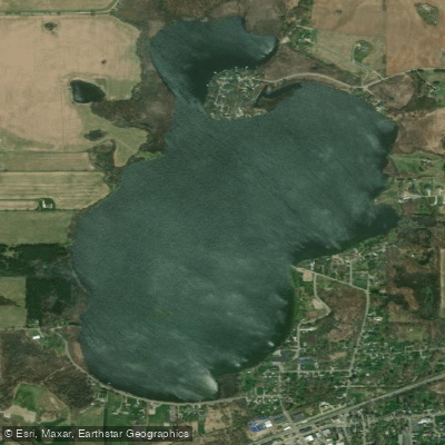
Grass Lake
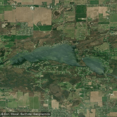
Wolf Lake
Explore Michigan waters
Top paddling waters
Popular Cities
Loading popular cities...
Explore near Norvell Lake
Access points
Nearby waters
More in Michigan

Smarter Paddling Starts in the App.
Paddleways gives you everything you need to plan smarter, paddle better, and own every trip from first launch to takeout.