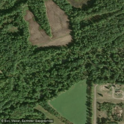
Curated by PaddleWays
RouteClass I
- Distance
- 3.4 mi
- Paddle time
- ~1 hr
- Best for
- Beginners
- Put-in → take-out
- Hays City Park Access → AEP River Park Access
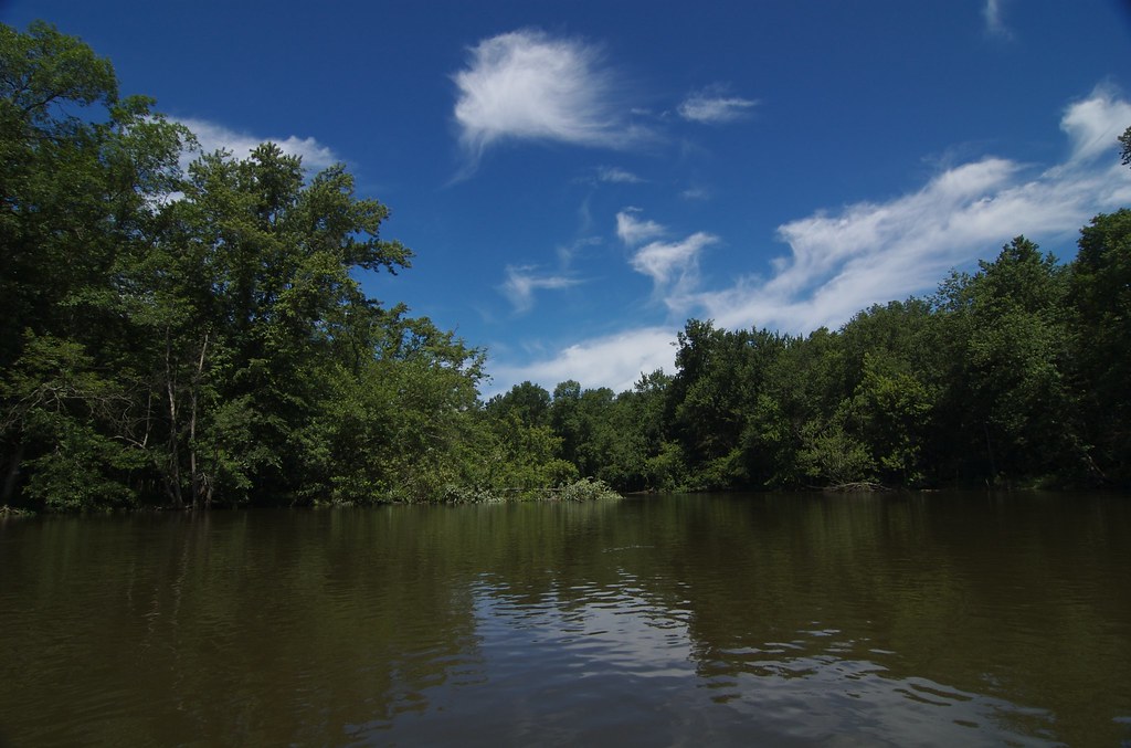
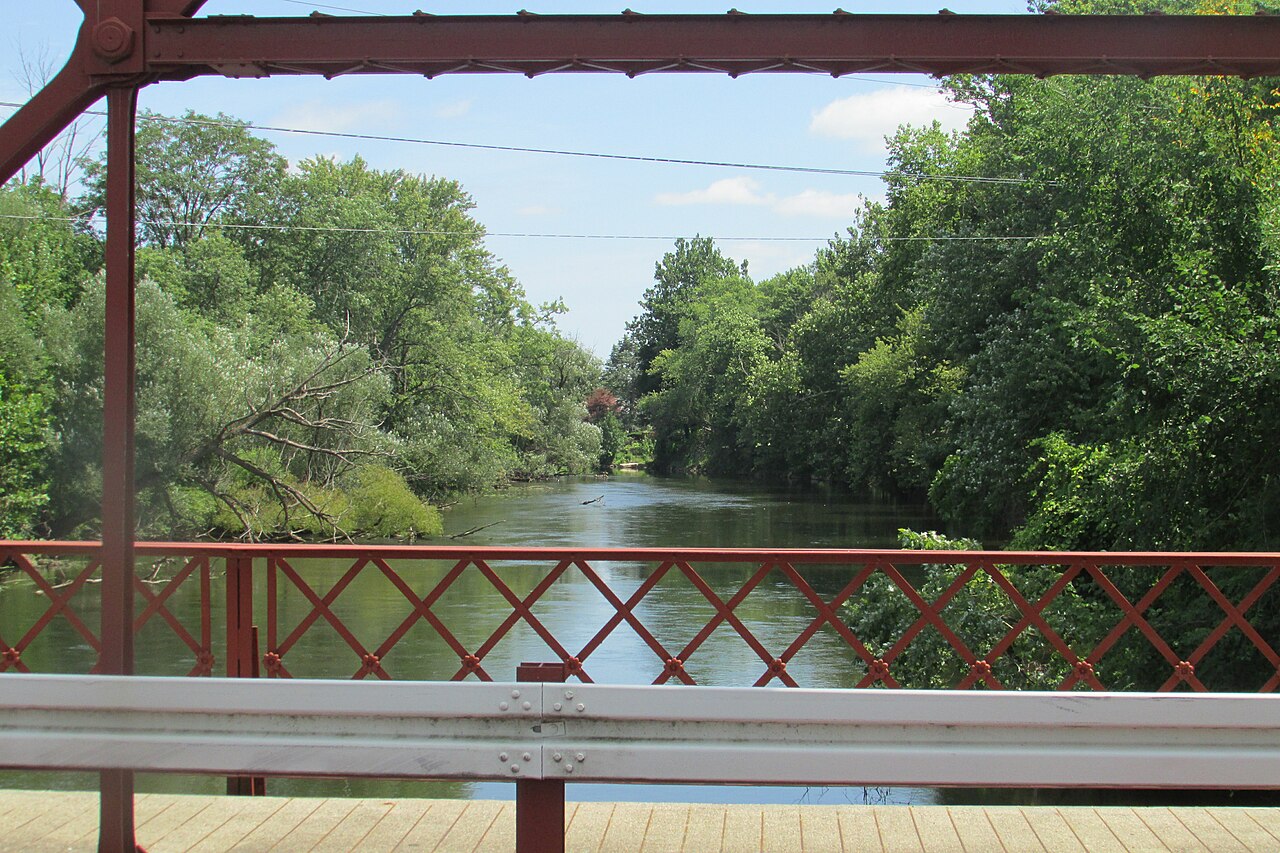
The Paw Paw River is a scenic 68-mile waterway in southwestern Michigan, originating near the village of Paw Paw and flowing westward to join the St. Joseph River in Benton Harbor, about half a mile from Lake Michigan. This river system drains portions of Van Buren and Berrien counties, winding through a rich floodplain forest corridor that provides habitat for diverse wildlife.
Paddling opportunities on the Paw Paw River range from peaceful flatwater stretches to more challenging sections with natural barriers. The river is divided into several distinct segments, offering experiences suitable for both beginners and seasoned paddlers. The upper reaches from Maple Lake Dam to 40th Street provide a mix of calm waters and easy rapids, while downstream sections like Lawrence to 54th Street Bridge offer serene flatwater paddling. The overall difficulty of the Paw Paw River varies from flatwater to Class I-II rapids, with some sections requiring basic maneuvering skills to navigate around fallen trees and shallow gravel bars.
Water levels can significantly impact paddling conditions, especially during summer months when low water may necessitate occasional portaging. Spring and fall are ideal seasons for paddling the Paw Paw River, with fall offering spectacular colors as the namesake pawpaw trees lining the banks display vibrant foliage. The river's ecosystem supports a variety of flora and fauna, including extensive floodplain forests and high bluffs that create a picturesque paddling environment.
Key access points include the put-in below Maple Lake Dam in Paw Paw, Lawrence River Park, Watervliet, and various locations in Coloma and Benton Harbor. The river passes through or near several towns, offering opportunities for rest stops and resupply. The Paw Paw River holds cultural significance as a historical transportation route and continues to be an important recreational resource for the region. A growing water trail system is enhancing access and promoting responsible use of the river.
Safety considerations include being prepared for fallen trees and log jams, especially after high water events. Paddlers should check current river conditions and be aware of their skill level relative to the section they plan to navigate. For those seeking a multi-day adventure, the full 68-mile journey from Paw Paw to Benton Harbor can be completed in stages, with several campgrounds and access points along the route facilitating extended trips.
The Paw Paw River offers a unique blend of natural beauty, paddling challenges, and historical significance, making it a premier destination for kayakers and canoeists in Michigan's Lower Peninsula.
Curated routes
Hand-picked by the PaddleWays team, with put-ins, take-outs, paddle times and the hazards along the way.
RouteClass I
Hazards
No hazards are marked on Paw Paw River yet. That is not the same as none being there: if you find one, report it for the next paddler.
From the community
Real trips from PaddleWays paddlers: which route they ran, how the flows were, and what to watch for.
Loading trip reports
Erika S.
413 cfs at Riverside
coloma kayak 2
Erika S.
413 cfs at Riverside
coloma kayak
See exactly where the public can get on and off the river. Launch points and boat ramps are paired with PaddleWays' public land data so you know where you can legally land.
Public shoreline
6%of the river's shoreline is public
Most of the riverbank is private. Launch, land and camp only at public access points.
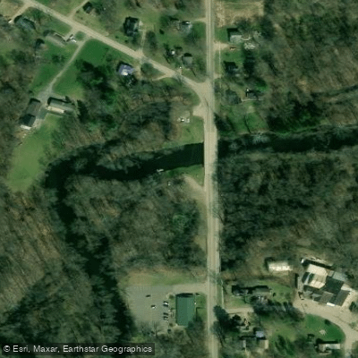
Boat Ramp
Boat Ramp
Flows, weather and a route-by-route verdict, so you know which stretch of the Paw Paw River is worth paddling today.
Live flows, marked hazards and fresh trip reports from paddlers who were just on the water, all in one place.





Every user gets free access to launch points, boat ramps, and public property parcels.

Loading popular cities...
PaddleWays gives you everything you need to plan smarter, paddle better, and own every trip from first launch to takeout.





