Curated by PaddleWays
RouteFlatwater
- Distance
- 6.3 mi
- Paddle time
- ~2 hrs
- Put-in → take-out
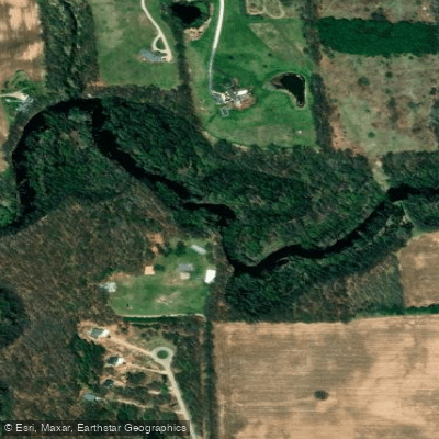
- Harrison nature center kayak launch → Boat Ramp
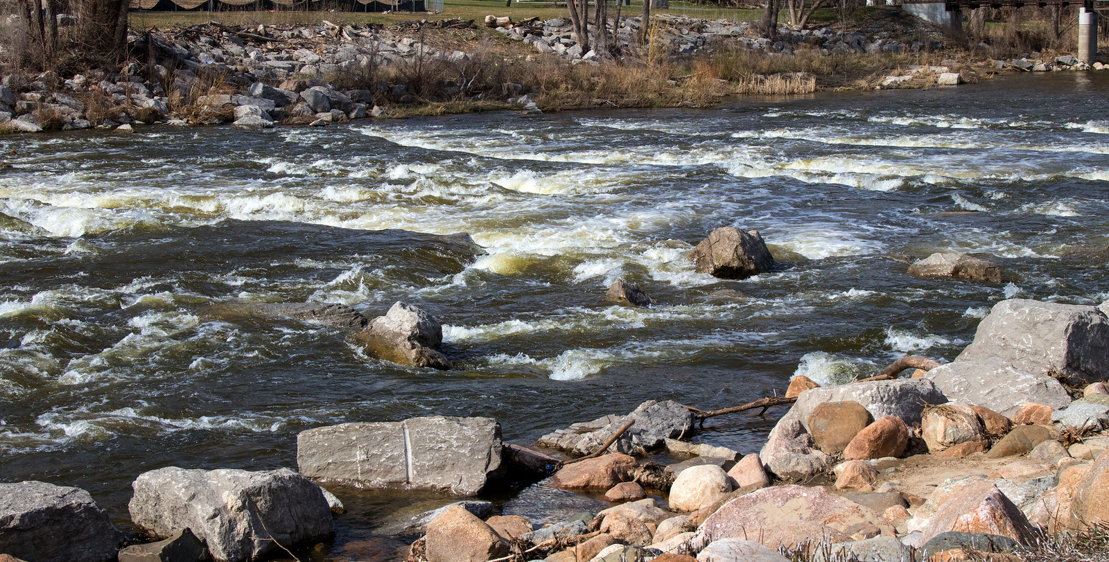
The Red Cedar River is a significant waterway in mid-Michigan, originating near Fowlerville and flowing westward for approximately 50 miles before joining the Grand River in Lansing. This river system drains a watershed of about 460 square miles, encompassing parts of Livingston, Ingham, and Clinton counties. Paddlers on the Red Cedar can experience a diverse journey through rural, suburban, and urban landscapes. The river offers primarily flatwater paddling suitable for beginners and intermediate paddlers, with occasional riffles and one notable artificial rapids near Michigan State University's campus.
The most popular paddling sections range from 4.8 to 23 miles in length, providing options for short day trips or longer adventures. The 23-mile stretch from Williamston to the Grand River confluence serves as the primary water trail, typically taking about 14 hours to complete. A popular 4.8-mile section through Meridian Township from Harris Nature Center to Ferguson Park offers a serene 3-hour paddle, showcasing the essence of the On the Banks of the Red Cedar experience.
Spring and early summer generally provide the best water levels for paddling, though the river is often navigable through fall. Paddlers should be cautious of high water conditions and potential logjams, especially in less maintained sections.
The Red Cedar's ecosystem supports a variety of wildlife, including great blue herons, turtles, and numerous fish species. Paddlers may encounter deer and other mammals along the wooded banks.
Key landmarks include the Michigan State University campus, where the river flows through the heart of the grounds, and Potter Park Zoo in Lansing. The river also passes by several parks and nature preserves, offering opportunities for wildlife viewing and shoreline exploration.
Major access points include launches in Williamston, Okemos, East Lansing, and Lansing. The river's course through these communities makes it easily accessible for urban paddlers while still offering stretches of natural scenery.
Historically, the Red Cedar played a role in the region's development, powering mills and supporting early settlements. Today, it serves as an important recreational resource and natural corridor through the growing Lansing metropolitan area.
Safety considerations include being aware of water levels, watching for strainers and logjams, and exercising caution around the artificial rapids near MSU. Paddlers should also be mindful of urban hazards such as low bridges and occasional debris in more developed areas.
For those seeking a multi-day adventure, the full 23-mile water trail can be split into two or three days of paddling, with camping options available at designated sites along the route. This allows for a more leisurely exploration of the Red Cedar's varied landscapes and ecosystems.
Curated routes
Hand-picked by the PaddleWays team, with put-ins, take-outs, paddle times and the hazards along the way.
RouteFlatwater
Hazards
No hazards are marked on Red Cedar River yet. That is not the same as none being there: if you find one, report it for the next paddler.
From the community
Real trips from PaddleWays paddlers: which route they ran, how the flows were, and what to watch for.
Loading trip reports
Lucy E.
50 cfs at Williamston
Kyle B.
50 cfs at Williamston
13 Mile bitchhh. We have no idea what we’re doing. Post-Trip Update: Did not go well. Made it 8 miles then started raining. Carried 2 kayaks up a cliffside before getting picked up.
See exactly where the public can get on and off the river. Launch points and boat ramps are paired with PaddleWays' public land data so you know where you can legally land.
Public shoreline
11%of the river's shoreline is public
Most of the riverbank is private. Launch, land and camp only at public access points.
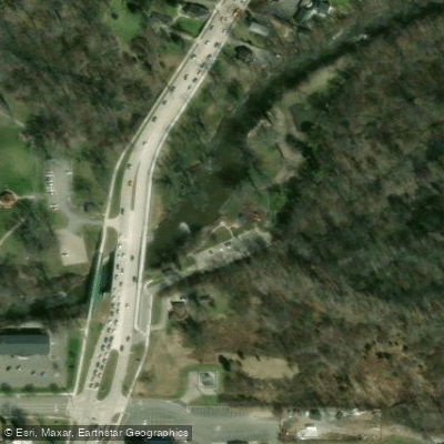
Boat Ramp
Boat Ramp
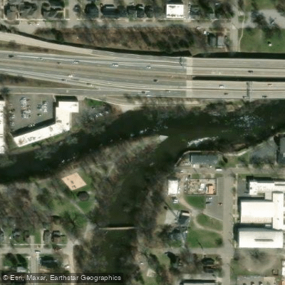
Boat Ramp
Flows, weather and a route-by-route verdict, so you know which stretch of the Red Cedar River is worth paddling today.
All Flow Stations
Live flows, marked hazards and fresh trip reports from paddlers who were just on the water, all in one place.





Every user gets free access to launch points, boat ramps, and public property parcels.

Loading popular cities...
PaddleWays gives you everything you need to plan smarter, paddle better, and own every trip from first launch to takeout.





