Saginaw River
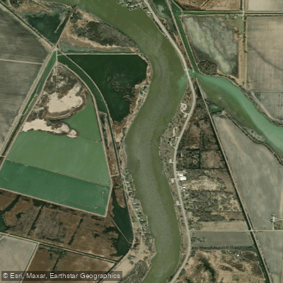
Saginaw River
- Boat Ramps
- 3
- Access Points
- 3
- Campsites
- 2
The Saginaw River flows northward through east-central Michigan, draining a vast watershed of over 8,700 square miles. Formed at the confluence of the Tittabawassee and Shiawassee rivers in Saginaw County, it meanders for 22 miles before emptying into Saginaw Bay on Lake Huron. Major tributaries include the Cass and Flint rivers.
For paddlers, the Saginaw offers an urban river experience through the heart of Bay City, as well as more natural stretches near its mouth. The lower 18 miles from Zilwaukee to Saginaw Bay comprise the Saginaw Bay Water Trail, a full-day paddle showcasing fringe wetlands teeming with wildlife. Migrating birds and nesting eagles are common sights along this section.
The river is primarily flatwater, suitable for beginners in calm conditions. However, paddlers should be aware of commercial shipping traffic and recreational boating, especially on summer weekends. No-wake zones within city limits provide calmer areas. Late spring through early fall offers the best paddling, with water levels and temperatures most favorable.
Notable access points include Float Paddle Center in downtown Bay City, Veterans Memorial Park, and the mouth of the river at Saginaw Bay. The Saginaw River Walk in Bay City provides scenic views for shore-based exploration.
Historically, the river played a crucial role in Michigan's lumber industry and continues to be an important shipping channel. Native American settlements once dotted its banks, and partially submerged shipwreck sites offer glimpses into its maritime past.
Safety considerations include watching for boat wakes, using high-visibility flags or lights, and checking weather forecasts, as conditions on Saginaw Bay can change rapidly. Winter ice fishing is popular, but extreme caution is needed.
For multi-day adventures, paddlers can explore connected water trails like the Thumb Water Trail to the east or venture into Saginaw Bay itself, though open water paddling requires advanced skills and proper safety equipment.
Water access, boat ramps & amenities
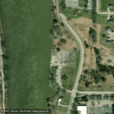
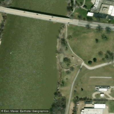
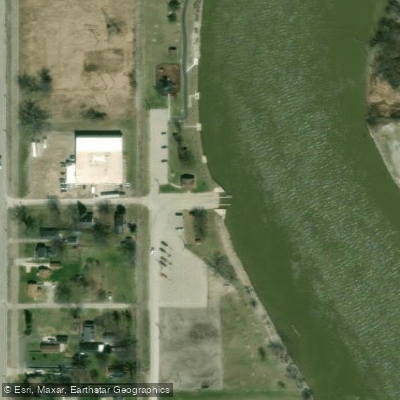
Learn how to get on Saginaw River. Uncover great paddling access points, boat ramps, and all the facilities you need for an unforgettable day on the water. Some locations shown may border or include private property. Always check property boundaries and applicable regulations before visiting. PaddleWays's Public & Private Land layer can help you plan your access with confidence.
Paddle smarter with real-time insights
Whether you're en route and conditions shift or you're looking for the best spot based on current flows, we enable you to make informed decisions on the fly.








Find Places to Paddle

Over 400,000 Places to Paddle
Every user gets free access to launch points, boat ramps, and public property parcels.


Water and weather conditions (10 day forecast)
See the best times to paddle Saginaw River and check the forecast before you go.
SAGINAW RIVER AT HOLLAND AVENUE AT SAGINAW, MI
All Flow Stations
Paddling near Saginaw River
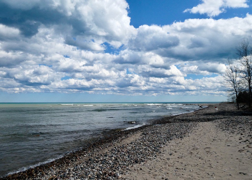
Lake Huron
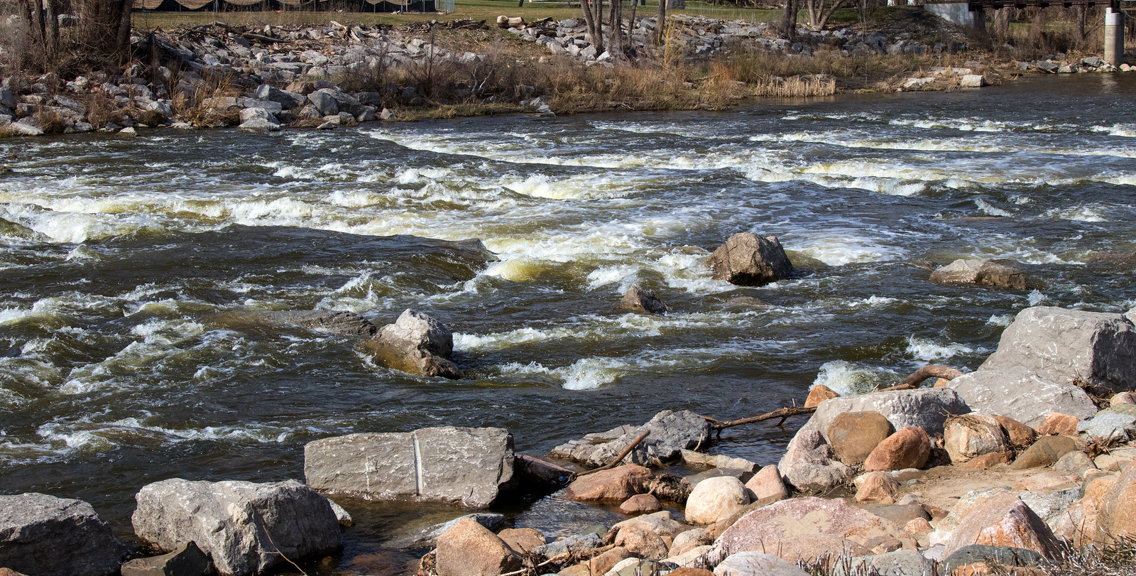
Shiawassee River
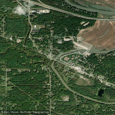
Tittabawassee River
Haithco Lake

Sanford Lake (historical)
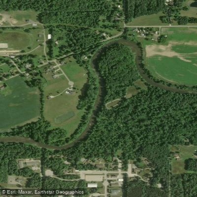
Cass River
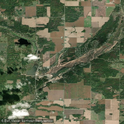
Wixom Lake (historical)
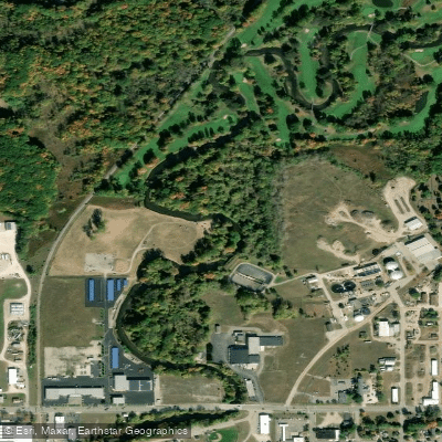
Chippewa River
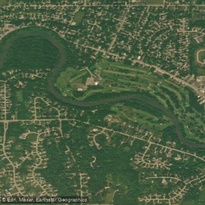
Flint River
Explore Michigan waters
Top paddling waters
Popular Cities
Loading popular cities...
Explore near Saginaw River
Access points
- Wickes Park Boat Ramp
- Boat Ramp
- Zilwaukee Riverfront Park Boat Ramp
- W Channel Saginaw River Bridge
- Saginaw River Bridge
- Saginaw R M13 Gtwrr Bridge
- Sag Riv H&e Sbs Rr M13 Bridge
- Saginaw River & Jfk Dr Bridge
- Saginaw Rv;martin St&rr Bridge
- Lake Linton Channel Bridge
- Cheboyganing Creek Bridge
- Squaconning Creek Bridge
- All 37 spots
Nearby waters
More in Michigan

Smarter Paddling Starts in the App.
Paddleways gives you everything you need to plan smarter, paddle better, and own every trip from first launch to takeout.