Wixom Lake (historical)
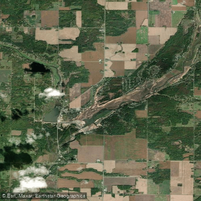
Wixom Lake (historical)
- Boat Ramps
- 2
- Access Points
- 2
- Campsites
- 0
Wixom Lake was a reservoir in Michigan that existed from 1925 to 2020. Created by the impoundment of the Tittabawassee and Tobacco rivers, it was formed by the Edenville Dam. At its legal summer level, Wixom Lake covered approximately 1,980 acres with a maximum depth of 40 feet. The lake had over 84 miles of shoreline and a maximum capacity of 66,200 acre-feet.
A unique feature was the lighthouse on Musselman Island. Pontoon Alley, a popular sandbar, served as a social gathering spot for boaters. The lake was known for its variety of fish, including bluegill, channel catfish, largemouth bass, muskie, northern pike, rock bass, smallmouth bass, walleye, and yellow perch.
Wixom Lake's water levels were seasonally controlled, with lower elevations during winter for flood control and higher levels in summer for recreation. This made it part of a series of four reservoirs along the Tittabawassee River.
In May 2020, during severe flooding, a large section of the Edenville Dam collapsed. This catastrophic event completely emptied the lake, effectively destroying it. The dam failure led to evacuations downstream and rerouted the river to a new course.
Prior to its destruction, Wixom Lake was a popular destination for boating and fishing. However, it faced some environmental challenges. In 2018 and 2019, controversies arose over water level management, with allegations that lowering lake levels without proper authorization led to the death of thousands of freshwater mussels.
As of 2023, efforts are underway to restore Wixom Lake and repair the dam, with significant funding allocated by the State of Michigan for this purpose.
Water access, boat ramps & amenities
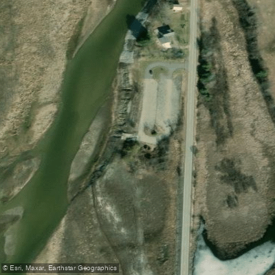
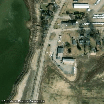
Learn how to get on Wixom Lake (historical). Uncover great paddling access points, boat ramps, and all the facilities you need for an unforgettable day on the water. Some locations shown may border or include private property. Always check property boundaries and applicable regulations before visiting. PaddleWays's Public & Private Land layer can help you plan your access with confidence.
Paddle smarter with real-time insights
Whether you're en route and conditions shift or you're looking for the best spot based on current flows, we enable you to make informed decisions on the fly.








Find Places to Paddle

Over 400,000 Places to Paddle
Every user gets free access to launch points, boat ramps, and public property parcels.


Water and weather conditions (10 day forecast)
See the best times to paddle Wixom Lake (historical) and check the forecast before you go.
No forecast data available.
Paddling near Wixom Lake (historical)
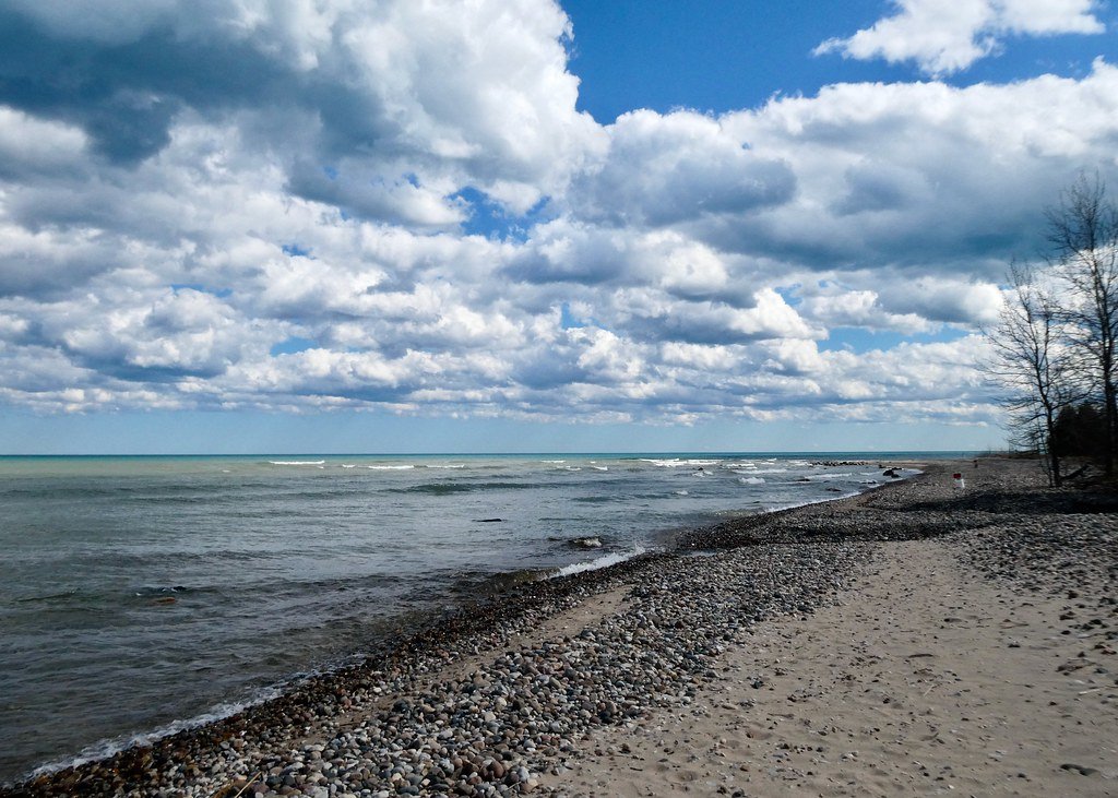
Lake Huron
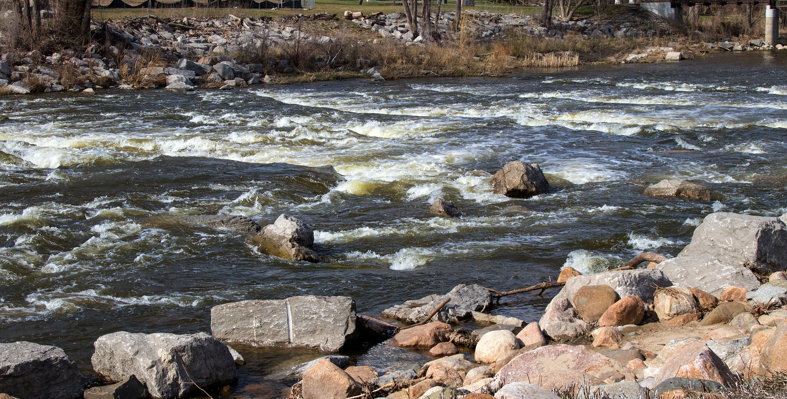
Shiawassee River
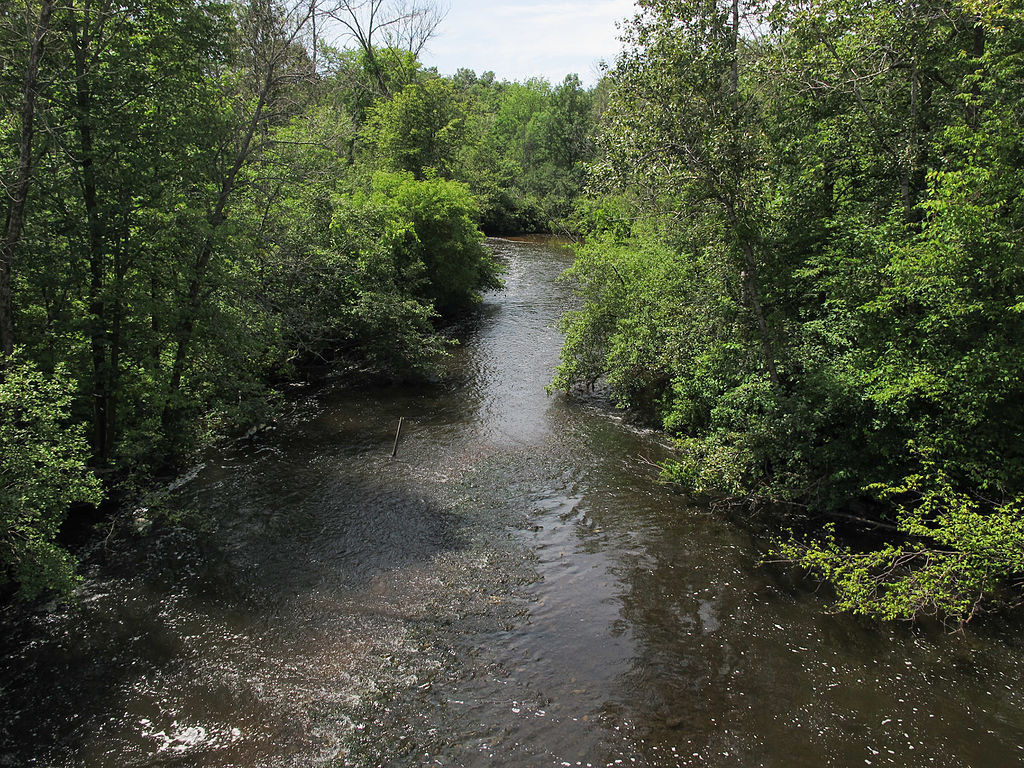
Muskegon River
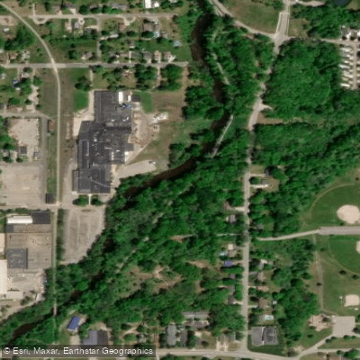
Flat River
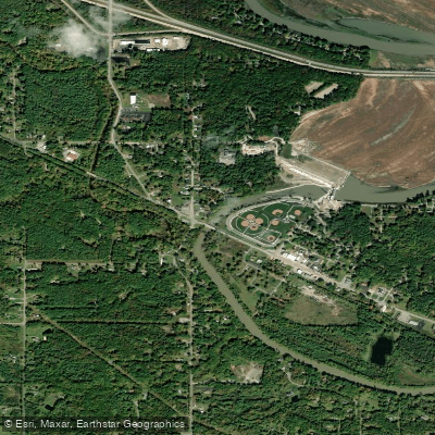
Tittabawassee River

Sanford Lake (historical)
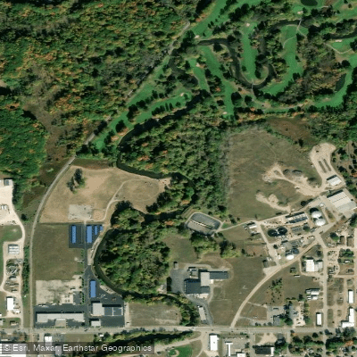
Chippewa River
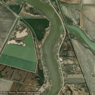
Saginaw River
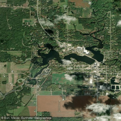
Ross Lake
Explore Michigan waters
Top paddling waters
Popular Cities
Loading popular cities...
Explore near Wixom Lake (historical)
Access points
Nearby waters
More in Michigan

Smarter Paddling Starts in the App.
Paddleways gives you everything you need to plan smarter, paddle better, and own every trip from first launch to takeout.