Sand Point Beach
- Saltwater
- Beach
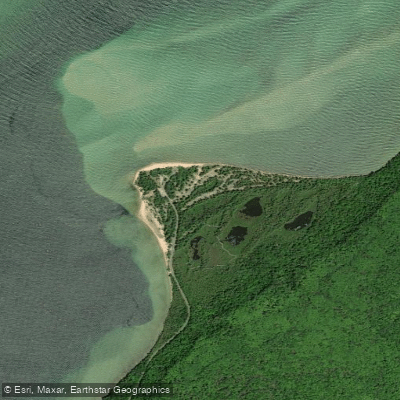
Sand Point Beach
- Saltwater
- Beach
- Sq. miles
- 0
- Boat Ramps
- 0
- Access Points
- 0
- Campsites
- 17
Sand Point Beach is located on Sand Point Road in Munising, Michigan, approximately two miles past the Munising Falls Visitor Center. It serves as a primary launch point for paddlers on Munising Bay within Pictured Rocks National Lakeshore. The beach provides a designated canoe/kayak/small boat launch, with small boats able to be carried from the parking lot directly to the water's edge. The carry distance is minimal, and from summer through early fall, a Mobi mat is deployed, allowing wheelchair access from the parking lot across the sand to the water. Parking is available for standard vehicles, buses, RVs, and boat trailers. A vault toilet is open year-round, and the road and parking lots are plowed in winter, making the site accessible in all seasons. Leashed pets are permitted on the beach and in the water.
The beach is known for its scenic sunsets over Munising Bay, and the shallow bay waters are noted to be somewhat warmer than other Lake Superior beaches, which may influence seasonal comfort for paddlers. The area's aesthetic includes a second beach about a quarter-mile past the main area, featuring distinctive pink sand from crushed garnet eroded from the cliffs. Paddlers can explore Munising Bay, with the park headquarters and a boathouse museum displaying artifacts from the historic Munising U.S. Coast Guard Station located at the end of Sand Point Road. The beach is across from the Sand Point Marsh Trail, a half-mile wheelchair-accessible interpretive trail traversing a wetland known for birding and wildlife such as frogs, turtles, and beavers, offering a potential pre- or post-paddle land-based excursion.
Water access, boat ramps & amenities
Learn how to get on Sand Point Beach. Uncover great paddling access points, boat ramps, and all the facilities you need for an unforgettable day on the water. Some locations shown may border or include private property. Always check property boundaries and applicable regulations before visiting. PaddleWays's Public & Private Land layer can help you plan your access with confidence.
Paddle smarter with real-time insights
Whether you're en route and conditions shift or you're looking for the best spot based on current flows, we enable you to make informed decisions on the fly.








Find Places to Paddle

Over 400,000 Places to Paddle
Every user gets free access to launch points, boat ramps, and public property parcels.


Tides, wind & water conditions (10 day forecast)
On open water, wind and tide matter as much as the weather. See the best times to paddle Sand Point Beach and check the marine forecast before you launch.
Loading tide predictions…
Paddling near Sand Point Beach

Lake Superior

Lake Michigan
Au Train River
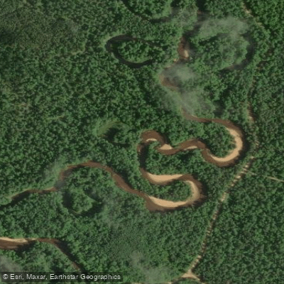
West Branch Manistique River
West Branch Whitefish River
Buck Bay Creek
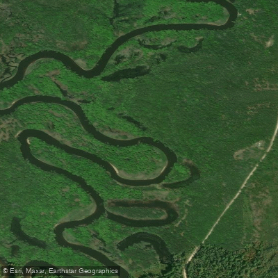
Manistique River
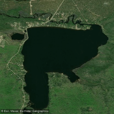
Au Train Lake
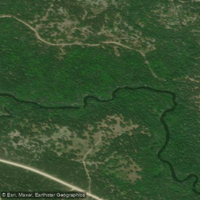
Fox River
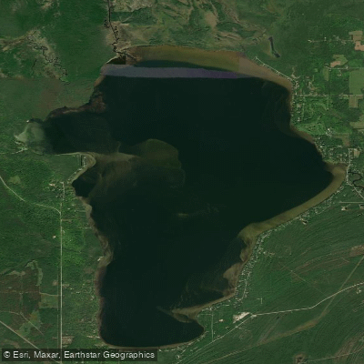
Indian Lake
Explore Michigan waters
Top paddling waters
Popular Cities
Loading popular cities...
Explore near Sand Point Beach
Access points
Nearby waters
More in Michigan

Smarter Paddling Starts in the App.
Paddleways gives you everything you need to plan smarter, paddle better, and own every trip from first launch to takeout.