Curated by PaddleWays
South Branch Au Sable River
- River · Class II
- 1 hazard marked
South Branch Au Sable River
- River · Class II
- 1 hazard marked
- River length
- 51.5 mi
- Curated route
- 1
- Trip reports
- 2
- Hazard marked
- 1
- Public shoreline
- 36%
The South Branch Au Sable River is a scenic waterway in northern Michigan, originating near St. Helen and flowing northward to join the main branch of the Au Sable River near Grayling. This pristine river system is renowned for its natural beauty, recreational opportunities, and world-class trout fishing. The river's journey begins in Roscommon County, winding approximately 25 miles through forested landscapes before merging with the main Au Sable. The South Branch is a key part of the larger Au Sable River watershed, which ultimately drains into Lake Huron.
Paddling opportunities abound on the South Branch, with several popular sections catering to various skill levels. The stretch from St. Helen to Roscommon (24.7 miles) offers a gentle introduction, suitable for beginners when water levels permit. The highly regarded Mason Tract section, running from Chase Bridge to Canoe Harbor (11.6 miles), provides a wilderness experience through protected lands. For a longer adventure, paddlers can continue from Roscommon to the M-72 bridge (16.7 miles), enjoying a mix of scenery and moderate challenges. Overall, the South Branch Au Sable ranges from flatwater to Class II rapids, making it accessible to paddlers of various abilities. However, some sections may require more skill, especially during high water periods.
The river is typically best paddled from late spring through early fall, with summer offering warm temperatures and consistent water levels. The river corridor supports a diverse ecosystem, home to brook and brown trout, bald eagles, deer, and a variety of riparian plant species. The Mason Tract, a 4,493-acre special management area, is a highlight for nature enthusiasts and anglers alike. Key landmarks include the historic Mason Chapel, remnants of Durant's Castle, and the scenic Mason Tract Pathway which parallels much of the river.
Access points are numerous, with popular put-ins at St. Helen, Roscommon (near PaddleBrave Campground), Chase Bridge, and various locations within the Mason Tract. The South Branch holds significant cultural and historical value, particularly the Mason Tract, gifted to the state by the Mason family with the stipulation it remain undeveloped. This legacy of conservation has helped preserve the river's pristine character.
Safety considerations include being prepared for remote stretches, especially in the Mason Tract, and adhering to local fishing and boating regulations. Some sections have gear restrictions for anglers. For multi-day trips, paddlers can combine various sections, potentially starting in St. Helen and ending at the confluence with the main Au Sable, with numerous campgrounds along the way facilitating extended journeys.
The South Branch Au Sable River offers a quintessential northern Michigan paddling experience, blending natural beauty, recreational opportunities, and a rich conservation heritage.
Curated routes
Popular routes to paddle
Hand-picked by the PaddleWays team, with put-ins, take-outs, paddle times and the hazards along the way.
Hazards
Hazards on South Branch Au Sable River
No paddler has reported a hazard here yet, so these are the dams, falls and big rapids on our map. Hazards change with flows and storms, so check them before you launch.
From the community
South Branch Au Sable River trip reports
Real trips from PaddleWays paddlers: which route they ran, how the flows were, and what to watch for.
- Trip reports
- 2
- Most paddled route
- Roscommon to M72
Loading trip reports
Garrett L.
204 cfs at Luzerne
Canoe Harbor to Parmalee
Garrett L.
Roscommon to M72• 204 cfs at Luzerne
Day 1
Water access & public shoreline
See exactly where the public can get on and off the river. Launch points and boat ramps are paired with PaddleWays' public land data so you know where you can legally land.
Public shoreline
36%of the river's shoreline is public
- Public
- 36%
- Private
- 64%
Largest public stretches
- Natural Area South Branch AuSable River
- St. Helen Shooting Club
- Huron National Forest
Most of the riverbank is private. Launch, land and camp only at public access points.
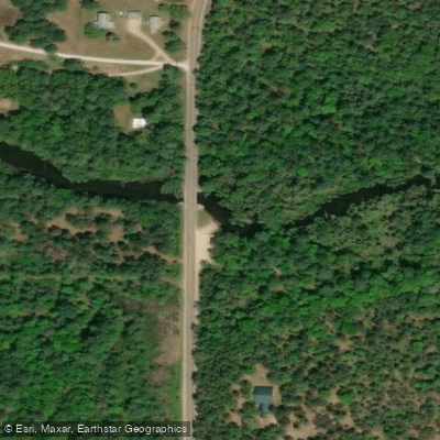
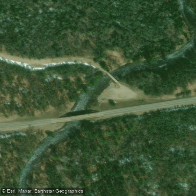
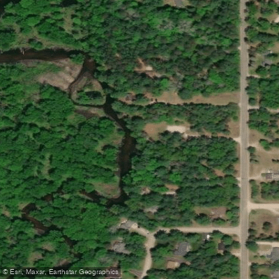
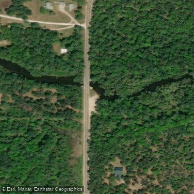
Showing 4 of 9 boat ramps.
Flows & paddling conditions (10 day forecast)
Flows, weather and a route-by-route verdict, so you know which stretch of the South Branch Au Sable River is worth paddling today.
SOUTH BRANCH AU SABLE RIVER NEAR LUZERNE, MI
Loading flow chart…
Latest
10 yr average
All Flow Stations
Paddle smarter with real-time insights
Live flows, marked hazards and fresh trip reports from paddlers who were just on the water, all in one place.







Find Places to Paddle

Over 400,000 Places to Paddle
Every user gets free access to launch points, boat ramps, and public property parcels.



Paddling near South Branch Au Sable River

Lake Michigan
Illinois, Indiana, Michigan, Wisconsin
135.7 miles away
Boardman River
Michigan
53 miles away
Manistee River
Michigan
47.8 miles away
Betsie River
Michigan
76.8 miles away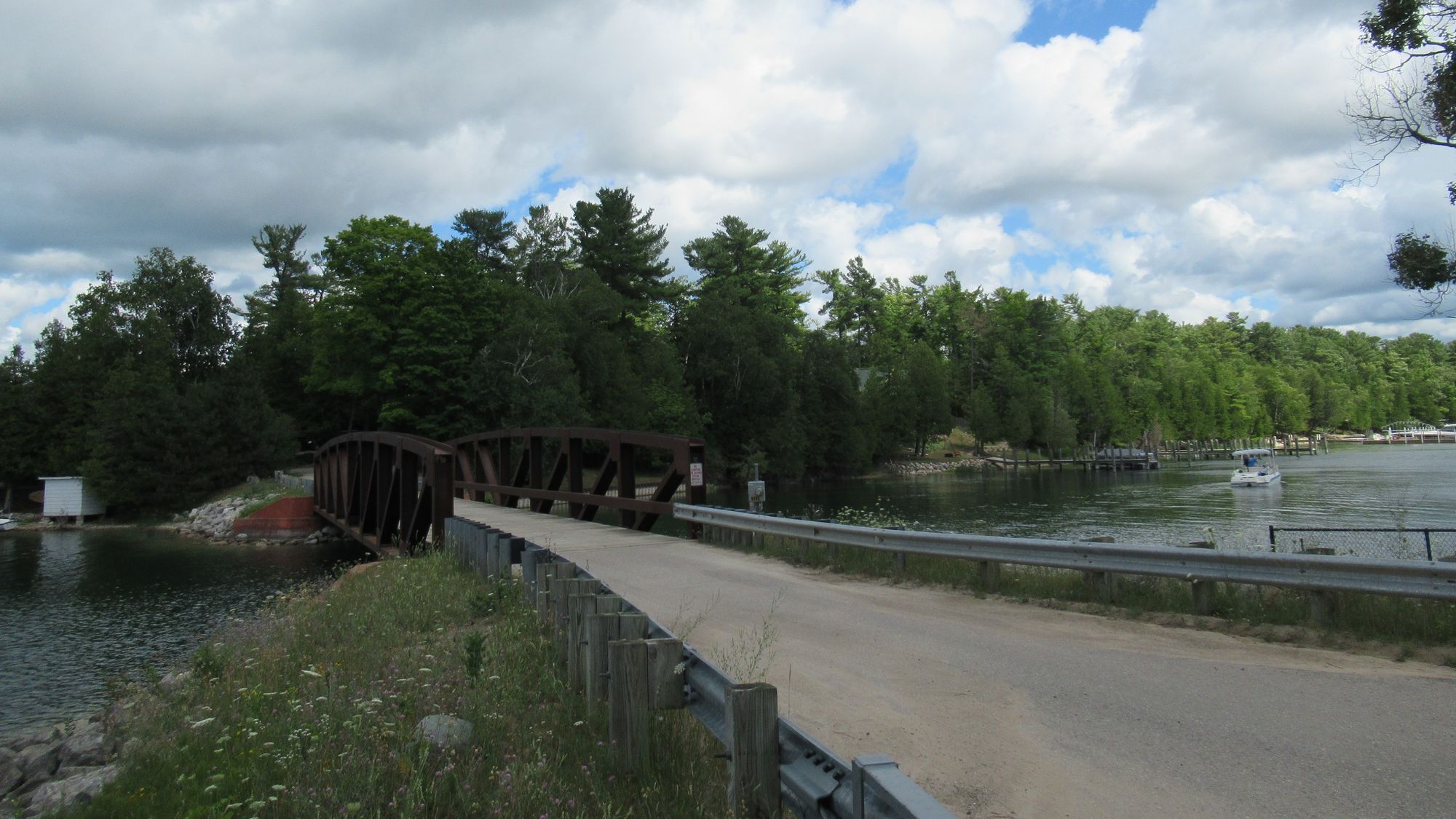
Lake Charlevoix
Michigan
58.5 miles away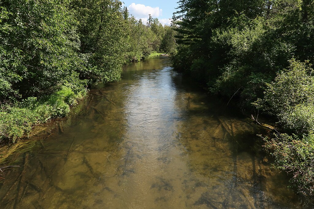
Jordan River
Michigan
49.8 miles away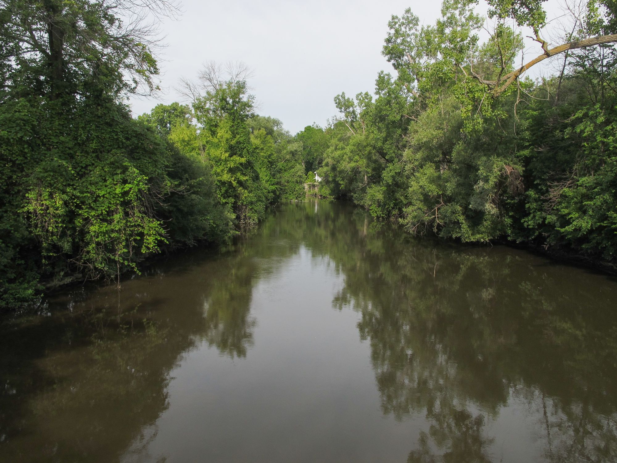
Pine River
Michigan
64.6 miles away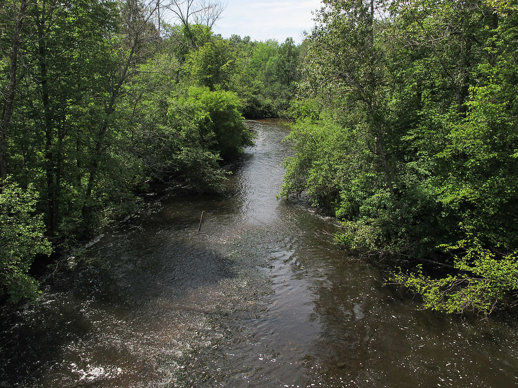
Muskegon River
Michigan
59.6 miles away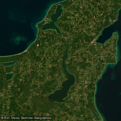
Lake Leelanau
Michigan
67.5 miles away
Torch Lake
Michigan
51.9 miles awayExplore Michigan waters
Top paddling waters
Popular Cities
Loading popular cities...
Explore near South Branch Au Sable River
Paddling routes
Access points
Nearby waters
More in Michigan

Smarter Paddling Starts in the App.
PaddleWays gives you everything you need to plan smarter, paddle better, and own every trip from first launch to takeout.