Curated by PaddleWays
RouteFlatwater
- Distance
- 1.8 mi
- Paddle time
- ~0.5 hrs
- Best for
- Beginners
- Put-in & take-out
- Great Lakes Boat Ramp
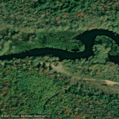
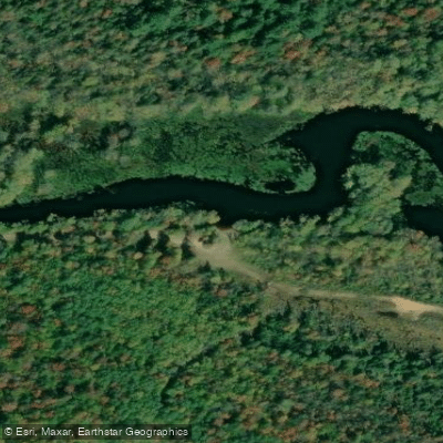
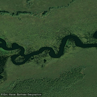
The Tahquamenon River is a majestic waterway flowing through Michigan's Upper Peninsula, originating in the Tahquamenon Lakes area and meandering approximately 89 miles northeast before emptying into Whitefish Bay on Lake Superior. This amber-colored river, stained by tannins from cedar swamps, is renowned for its scenic beauty and the iconic Tahquamenon Falls. Paddling opportunities on the Tahquamenon range from easy flatwater sections suitable for beginners to more challenging stretches near the falls.
The river can be divided into several notable sections: 1. Upper River: A gentle, slow-moving stretch popular for short trips near Newberry. 2. Upper to Lower Falls: A scenic 4.1-mile section with Class II-III rapids, requiring more skill. 3. Lower Falls to Rivermouth: A 17-mile journey through pristine wilderness, ideal for overnight trips. 4. Marsh Island Loop: A 1-mile beginner-friendly route near the river's mouth. The overall difficulty ranges from flatwater to moderate rapids, with most sections suitable for novice to intermediate paddlers. However, the area between the Upper and Lower Falls demands more experience.
Spring and early summer offer the best water levels, though the river is generally paddleable from late April through October. Fall colors provide spectacular scenery in late September and early October. The river corridor hosts diverse wildlife, including moose, black bears, bald eagles, and various waterfowl. The surrounding forests feature a mix of hardwoods and conifers, with cedar swamps contributing to the river's unique coloration.
Key landmarks include the Upper and Lower Tahquamenon Falls, with the Upper Falls dropping nearly 50 feet and spanning 200 feet across. The Lower Falls, a series of five smaller cascades, offer a more intimate setting. Primary access points include: - M-123 Bridge north of Newberry - Upper Falls and Lower Falls areas within Tahquamenon Falls State Park - Rivermouth Campground near Paradise
The Tahquamenon River holds cultural significance for indigenous Ojibwe people and played a role in the region's logging history. Today, it's a cornerstone of the area's tourism and outdoor recreation economy. Safety considerations include being prepared for remote wilderness, checking water levels, and portaging around the falls. Canoe and kayak rentals are available seasonally at various points along the river.
For multi-day adventures, paddlers can tackle the full 17-mile stretch from Lower Falls to the rivermouth, camping at designated sites along the way. This trip typically takes 2-3 days and offers an immersive wilderness experience in the heart of Michigan's Upper Peninsula.
Curated routes
Hand-picked by the PaddleWays team, with put-ins, take-outs, paddle times and the hazards along the way.
RouteFlatwater
Hazards
No paddler has reported a hazard here yet, so these are the dams, falls and big rapids on our map. Hazards change with flows and storms, so check them before you launch.
From the community
Nobody has shared a trip on Tahquamenon River yet. Paddle it, then tell the next paddler how it went.
See exactly where the public can get on and off the river. Launch points and boat ramps are paired with PaddleWays' public land data so you know where you can legally land.
Public shoreline
66%of the river's shoreline is public
Flows, weather and a route-by-route verdict, so you know which stretch of the Tahquamenon River is worth paddling today.
Live flows, marked hazards and fresh trip reports from paddlers who were just on the water, all in one place.





Every user gets free access to launch points, boat ramps, and public property parcels.

Loading popular cities...
PaddleWays gives you everything you need to plan smarter, paddle better, and own every trip from first launch to takeout.