Gun Club Lake
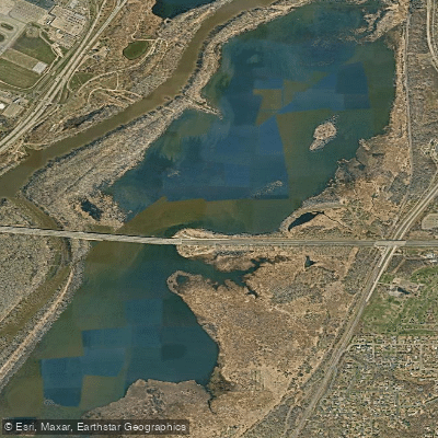
Gun Club Lake
- Boat Ramps
- 0
- Access Points
- 0
- Campsites
- 0
Gun Club Lake is a 316-acre lake located within Fort Snelling State Park, accessible via carry-in trails from the park. The lake can be reached by portaging from the Minnesota River, with the portage route marked on the Fort Snelling State Park map. Due to its location in a state park, a Minnesota State Park Pass is required for entry.
The lake is relatively shallow at 2.5 feet deep and sits in a marshy stretch of the Minnesota River valley. Paddlers should be prepared for abundant aquatic vegetation, particularly during summer months. The lake is part of the Minnesota River floodplain and experiences periodic flooding that can affect water conditions and access.
Canoe and kayak rentals are available at the Fort Snelling State Park office. The lake offers a quiet paddling experience away from motorized boats, though airplane noise is frequent due to proximity to Minneapolis-St. Paul International Airport. The surrounding landscape features prairie grass, burr oaks, and marshland vegetation.
The lake has significant historical importance, formerly known as Slater's Lake and later renamed for the Long Meadow Gun Club that operated in the area from the 1880s to 1970s. Two calcareous fens, rare wetland features with unique plant communities, are located on the east side of the lake.
Wildlife viewing opportunities include deer, coyotes, and various bird species. The lake connects to Long Meadow Lake and is near the confluence of the Minnesota and Mississippi Rivers. A WPA-era stone overlook near the lake provides panoramic views of the river valley and Minneapolis skyline.
Access requires some effort, with a significant hike involved. Paddlers should be prepared for variable water levels and potentially marshy conditions. The remote location and limited access means the lake typically sees minimal visitor traffic.
Water access, boat ramps & amenities
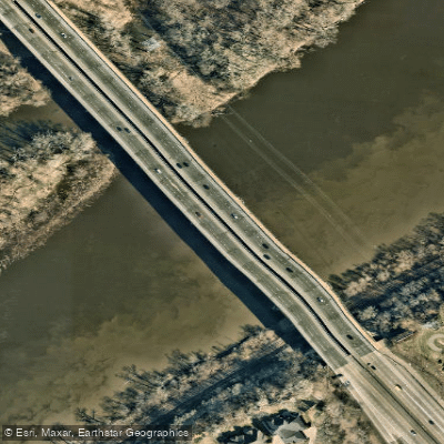
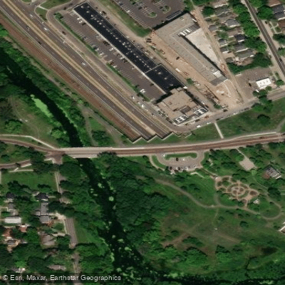
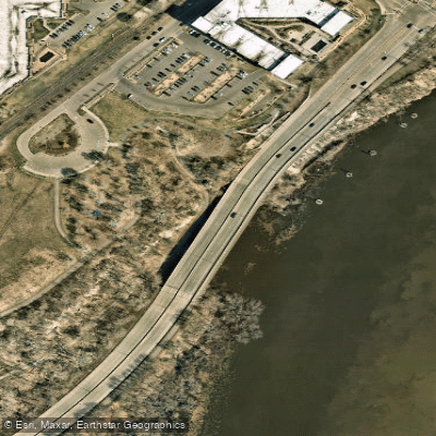
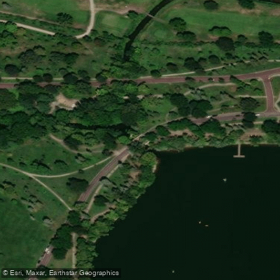
Learn how to get on Gun Club Lake. Uncover great paddling access points, boat ramps, and all the facilities you need for an unforgettable day on the water. Some locations shown may border or include private property. Always check property boundaries and applicable regulations before visiting. PaddleWays's Public & Private Land layer can help you plan your access with confidence.
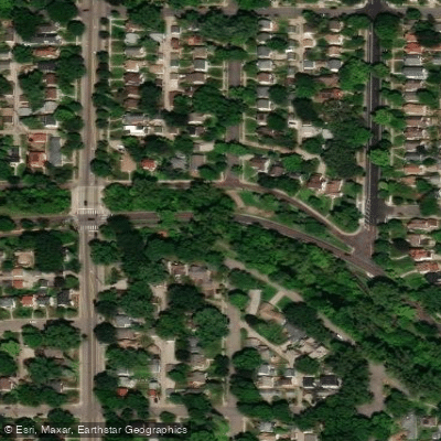
Paddle smarter with real-time insights
Whether you're en route and conditions shift or you're looking for the best spot based on current flows, we enable you to make informed decisions on the fly.








Find Places to Paddle

Over 400,000 Places to Paddle
Every user gets free access to launch points, boat ramps, and public property parcels.


Water and weather conditions (10 day forecast)
See the best times to paddle Gun Club Lake and check the forecast before you go.
No forecast data available.
Paddling near Gun Club Lake

Mississippi River
Lake Minnetonka
Vermillion River
Lake Pepin
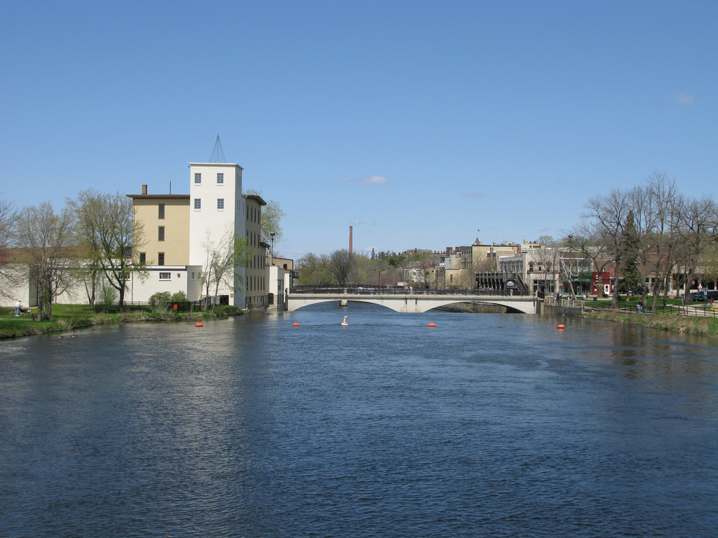
Cannon River

Willow River
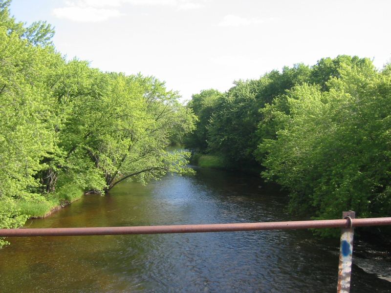
Rum River
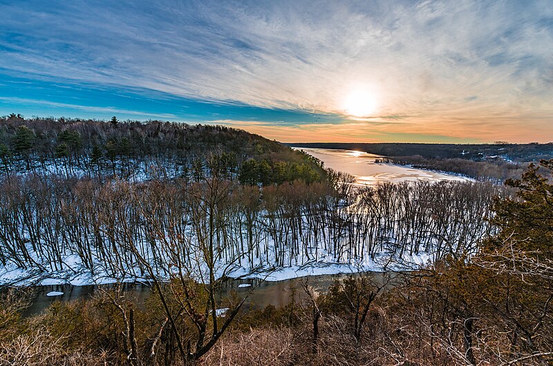
Kinnickinnic River
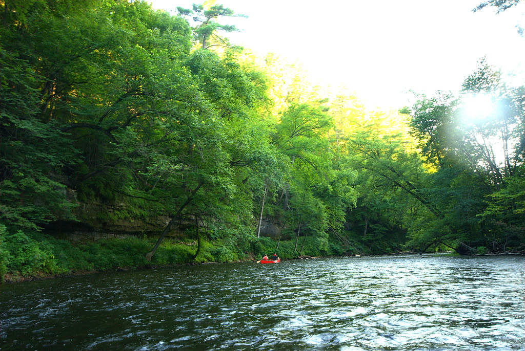
Apple River
Sunrise River
Explore Minnesota waters
Top paddling waters
Popular Cities
Loading popular cities...
Explore near Gun Club Lake
Access points
Nearby waters
More in Minnesota

Smarter Paddling Starts in the App.
Paddleways gives you everything you need to plan smarter, paddle better, and own every trip from first launch to takeout.