Red Cedar River
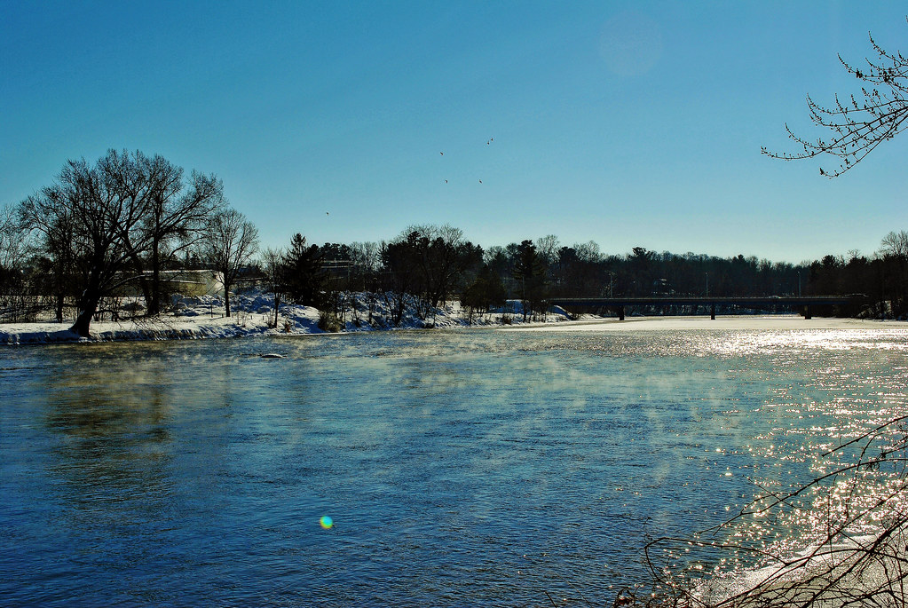
Red Cedar River
- Boat Ramps
- 23
- Access Points
- 28
- Campsites
- 2
The Red Cedar River is a scenic waterway that meanders through western Wisconsin for approximately 85 miles, from its headwaters near Rice Lake to its confluence with the Chippewa River. This gentle river offers paddlers a diverse and enjoyable experience, winding through picturesque farmland, forested bluffs, and charming small towns.
The river is primarily known for its flatwater paddling, making it an excellent choice for novice canoeists and kayakers. However, some sections, particularly near Menomonie, feature Class I-II rapids that provide a bit more excitement for intermediate paddlers. The overall difficulty ranges from easy to moderate, with most sections suitable for families and beginners.
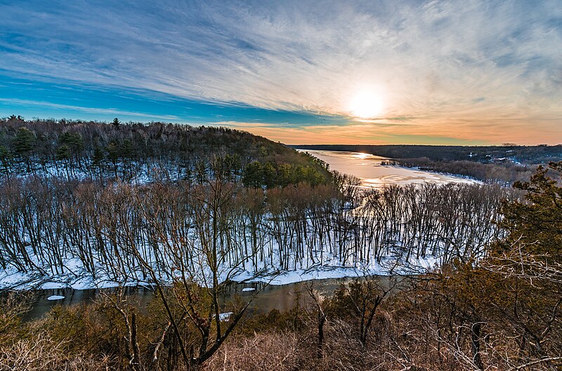
Paddling opportunities abound along the Red Cedar, with several popular sections to explore. The upper reaches from Mikana to Rice Lake offer a peaceful journey through rural landscapes. The middle section, passing through Cameron and Sand Creek, provides a mix of farmland and wooded areas. The lower portion, especially from Menomonie to the Chippewa River, is particularly scenic, with impressive rock outcroppings and steep valley walls.
Spring and early summer typically offer the best water levels for paddling, though the Red Cedar is known for its reliability and can often be enjoyed throughout the summer and into fall. Autumn paddling is especially beautiful when the surrounding forests display their vibrant colors.
Wildlife enthusiasts will appreciate the diverse ecosystem along the river. Bald eagles, herons, and various waterfowl are common sights. The river is also known for its excellent fishing, particularly for walleye, smallmouth bass, and northern pike.
Notable landmarks include the Red Cedar State Trail, which parallels the lower 15 miles of the river from Menomonie to the Chippewa River. This trail offers a unique opportunity for a combined paddling and cycling adventure. The historic railroad trestles along this stretch add to the scenic beauty and cultural interest of the area.
Key access points and nearby towns include Rice Lake, Cameron, Sand Creek, Colfax, Menomonie, and Downsville. These communities provide convenient put-in and take-out locations, as well as amenities for paddlers.
The Red Cedar River holds historical significance as a former logging route, playing a crucial role in the region's development. Today, it serves as an important recreational resource and natural corridor through western Wisconsin.
Safety considerations include being aware of occasional low-hanging branches and submerged obstacles, particularly in the upper sections. Paddlers should also exercise caution near the dam at Mikana and be prepared for occasional wind on the wider sections of the river.
For those seeking a multi-day adventure, the full 85-mile journey from Rice Lake to the Chippewa River confluence makes for an excellent 3-4 day trip. This allows paddlers to experience the full range of landscapes and ecosystems the Red Cedar has to offer.
Whether you're looking for a leisurely day float or an extended river journey, the Red Cedar River provides a quintessential Wisconsin paddling experience, combining natural beauty, gentle waters, and rich local history.
Water access, boat ramps & amenities
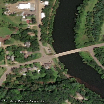
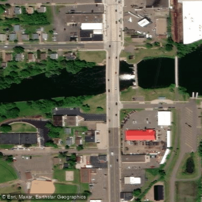
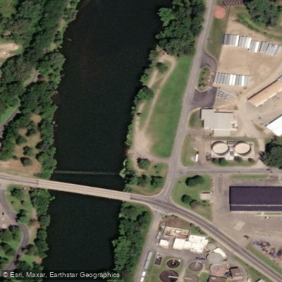
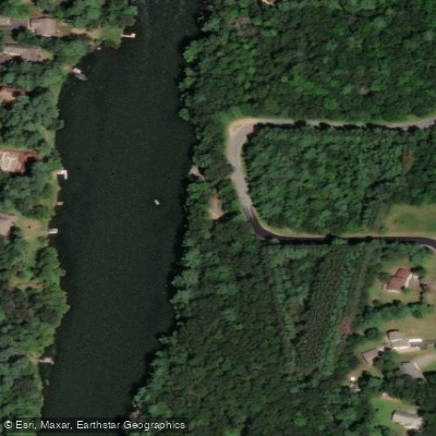
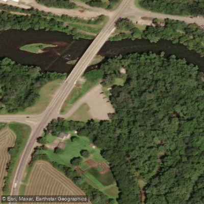
Learn how to get on Red Cedar River. Uncover great paddling access points, boat ramps, and all the facilities you need for an unforgettable day on the water. Some locations shown may border or include private property. Always check property boundaries and applicable regulations before visiting. PaddleWays's Public & Private Land layer can help you plan your access with confidence.
Paddle smarter with real-time insights
Whether you're en route and conditions shift or you're looking for the best spot based on current flows, we enable you to make informed decisions on the fly.








Find Places to Paddle

Over 400,000 Places to Paddle
Every user gets free access to launch points, boat ramps, and public property parcels.


Water and weather conditions (10 day forecast)
See the best times to paddle Red Cedar River and check the forecast before you go.
RED CEDAR RIVER NEAR COLFAX, WI
All Flow Stations
Paddling near Red Cedar River
Chippewa River
Lake Chetek

Mississippi River
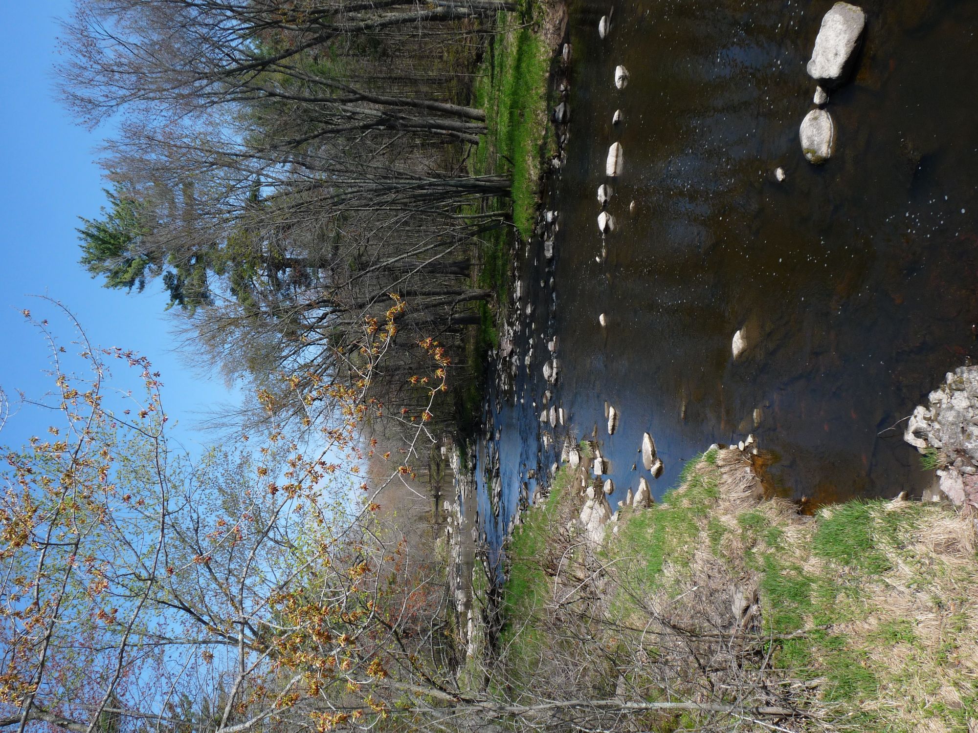
Yellow River
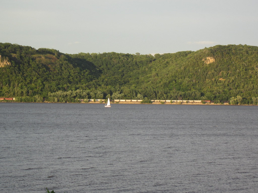
Lake Pepin
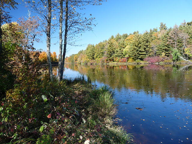
Flambeau River
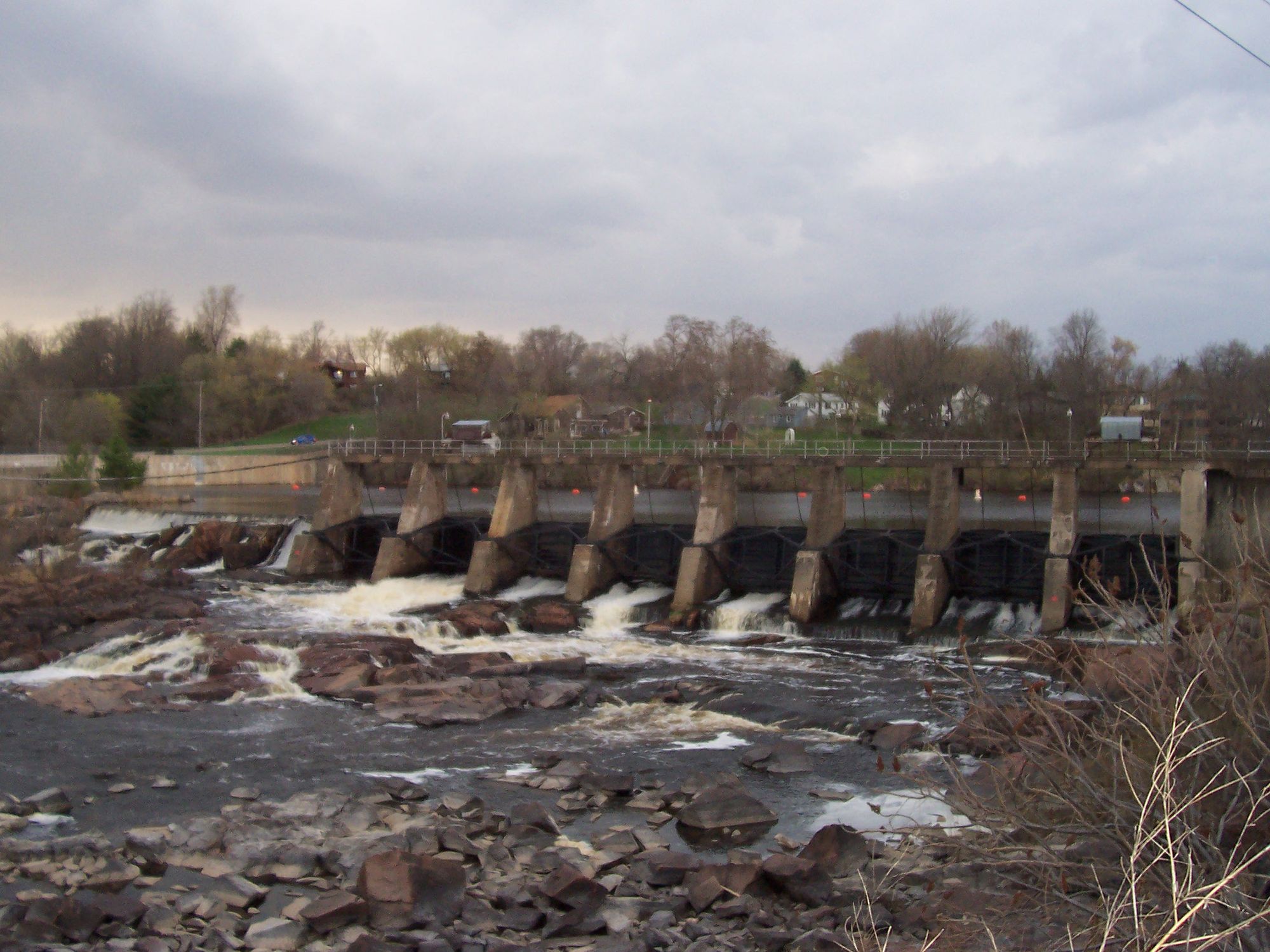
Black River

Willow River
Kinnickinnic River
Explore Wisconsin waters
Top paddling waters
Popular Cities
Loading popular cities...
Explore near Red Cedar River
Access points
- Red Cedar River Boat Ramp
- Mikana Dam Boat Ramp
- Red Cedar River Boat Ramp
- Bridge Landing Boat Ramp
- Dunnville Bottoms Boat Ramp
- Red Cedar River Boat Ramp
- Big Cedar River Boat Ramp
- Downsville Public Boat Ramp
- Sawyer Landing Boat Ramp
- Russian Slough Boat Ramp
- Red Cedar River Boat Ramp
- A & I Bridge Boat Ramp
- All 30 spots
Nearby waters
More in Wisconsin

Smarter Paddling Starts in the App.
Paddleways gives you everything you need to plan smarter, paddle better, and own every trip from first launch to takeout.