Curated by PaddleWays
RouteFlatwater
- Distance
- 6.2 mi
- Paddle time
- ~2 hrs
- Best for
- Canoe
- Put-in → take-out
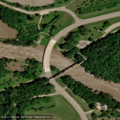
- Le Sueur River, Co Rd 16 Public Water Access Site → Le Sueur River, Hwy 66 Public Water Access Site
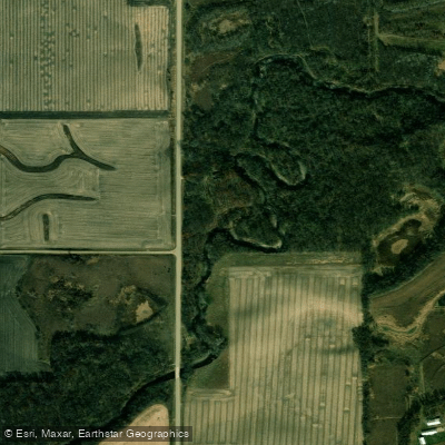
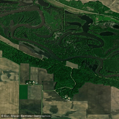
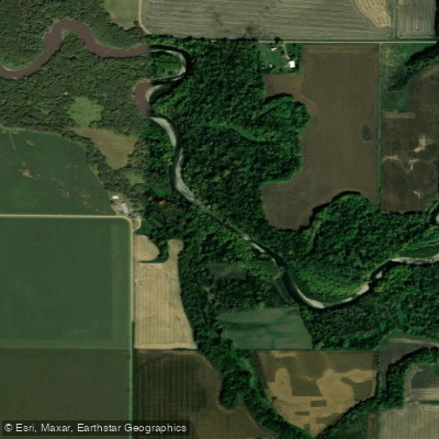
The Le Sueur River is a significant tributary of the Minnesota River in southern Minnesota. It originates near Hope, Minnesota and flows generally northwest for approximately 111 miles before joining the Minnesota River near the city of Le Sueur. The river drains a watershed of about 1,089 square miles, passing through a landscape of rolling hills, agricultural fields, and forested areas.
Paddling opportunities on the Le Sueur River range from calm flatwater stretches to occasional riffles, making it suitable for beginner to intermediate paddlers. A popular day trip runs 11.1 miles from the Judson Access to Land of Memories Park in Mankato, offering scenic views of hardwood forests, open fields, and interesting dolomite (limestone) rock formations along the riverbanks.
The river's difficulty is generally classified as flatwater, with a gentle current in most sections. However, water levels can fluctuate seasonally, affecting paddling conditions. Spring and early summer typically offer the best water levels, while late summer and fall may require more portaging around shallow areas.
Wildlife viewing opportunities abound along the Le Sueur River. The corridor serves as an important habitat for various bird species, and paddlers may spot deer, beaver, and other mammals along the shores. The river's ecosystem supports a diverse array of fish, including bass, northern pike, and various panfish species.
Key landmarks include Minneopa State Park, located near the river's confluence with the Minnesota River. The park features a large bison enclosure, hiking trails, and a picturesque waterfall. Other points of interest include the historic town of Le Sueur and various limestone outcroppings visible from the water.
Primary access points include the Highway 16 bridge near Mankato, Fort Le Hillier Landing, and the Judson Access. These put-in and take-out locations are generally close to small towns, providing convenient logistics for day trips.
The Le Sueur River played a significant role in the early settlement and development of southern Minnesota. Native American communities relied on the river for centuries before European settlers arrived, and the waterway later became crucial for transportation and powering mills in the 19th century.
Paddlers should be aware of potential hazards such as fallen trees, submerged rocks, and varying water levels. It's essential to check current conditions and weather forecasts before embarking on a trip. While multi-day expeditions are possible, the Le Sueur River is most commonly enjoyed as a series of day trips, allowing paddlers to explore different sections of this scenic southern Minnesota waterway.
Curated routes
Hand-picked by the PaddleWays team, with put-ins, take-outs, paddle times and the hazards along the way.
RouteFlatwater
Hazards
No hazards are marked on Le Sueur River yet. That is not the same as none being there: if you find one, report it for the next paddler.
From the community
Nobody has shared a trip on Le Sueur River yet. Paddle it, then tell the next paddler how it went.
See exactly where the public can get on and off the river. Launch points and boat ramps are paired with PaddleWays' public land data so you know where you can legally land.
Public shoreline
0%of the river's shoreline is public
Most of the riverbank is private. Launch, land and camp only at public access points.
Flows, weather and a route-by-route verdict, so you know which stretch of the Le Sueur River is worth paddling today.
Live flows, marked hazards and fresh trip reports from paddlers who were just on the water, all in one place.





Every user gets free access to launch points, boat ramps, and public property parcels.
Loading popular cities...
PaddleWays gives you everything you need to plan smarter, paddle better, and own every trip from first launch to takeout.