Long Lake
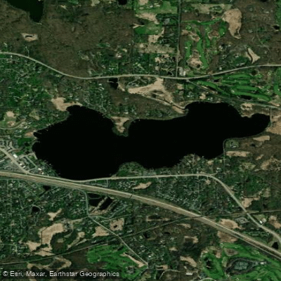
Long Lake
- Boat Ramps
- 1
- Access Points
- 4
- Campsites
- 56
Long Lake in Hennepin County spans approximately 285 acres with a maximum depth of 33 feet and an average depth of 7.7 feet, making it a "shallow lake" classification ideal for paddling exploration. The lake features 3.9 miles of shoreline and consists of two distinct bays—the north bay at 31 acres and the larger south bay at 129.2 acres—offering varied paddling environments within a single water body.
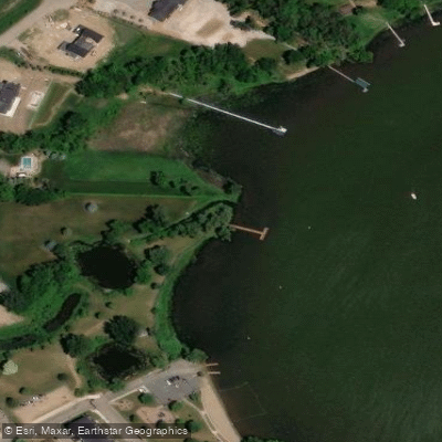
**Access and Launch Points** The primary public boat access is located on the west side of the lake off Wayzata Boulevard and Lake Street, operated by the City of Long Lake, with parking for up to 20 vehicle/trailer combinations. A fishing pier on the south end provides additional shore access options. Long Lake Regional Park on the eastern shore offers multiple launch points accessible from the park's trail system, making it easy for kayakers and canoeists to find suitable entry points.
**Paddling Character** Long Lake provides a pleasant suburban paddling experience with a mix of natural shoreline and residential development. Water clarity averages around 3-4 feet with brown-green coloration. During summer months, dissolved oxygen drops to zero below 10 feet, concentrating aquatic life in shallower zones where paddlers typically explore. The lake's moderate size allows for a relaxed 1-2 hour paddle while offering enough space to escape crowds.
**Connections and Wildlife** Long Lake serves as part of the Rice Creek Water Trail system, though it's the endpoint rather than a through-paddle destination for most trips. Wildlife viewing includes waterfowl, occasional herons, and diverse fish populations including walleye, northern pike, largemouth bass, and panfish. The lake supports both fishing activity and recreational boating, creating a moderately active environment during summer weekends.
**Considerations** Eurasian watermilfoil is present in the lake, so paddlers should inspect and clean equipment before moving to other waters. The lake experiences recreational boat traffic, though not at excessive levels. Winter aeration systems maintain oxygen levels for fish, and four aerators are marked with buoys—paddlers should give these a wide berth during fall and spring seasons.
Water access, boat ramps & amenities
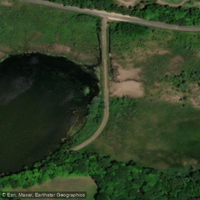
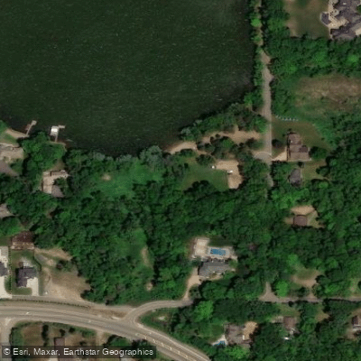
Learn how to get on Long Lake. Uncover great paddling access points, boat ramps, and all the facilities you need for an unforgettable day on the water. Some locations shown may border or include private property. Always check property boundaries and applicable regulations before visiting. PaddleWays's Public & Private Land layer can help you plan your access with confidence.
Paddle smarter with real-time insights
Whether you're en route and conditions shift or you're looking for the best spot based on current flows, we enable you to make informed decisions on the fly.








Find Places to Paddle

Over 400,000 Places to Paddle
Every user gets free access to launch points, boat ramps, and public property parcels.


Water and weather conditions (10 day forecast)
See the best times to paddle Long Lake and check the forecast before you go.
No forecast data available.
Paddling near Long Lake
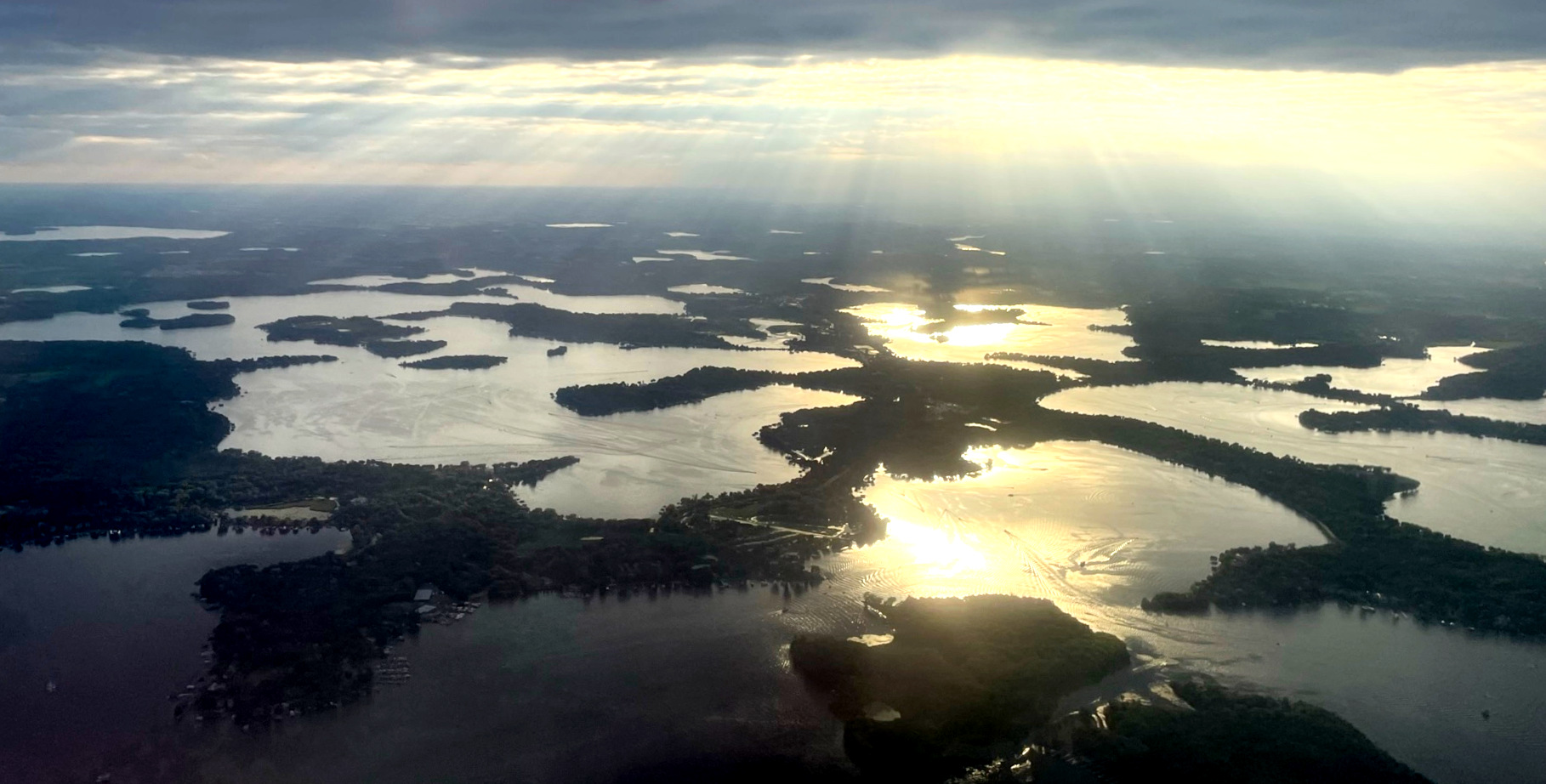
Lake Minnetonka

Mississippi River
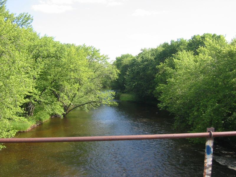
Rum River
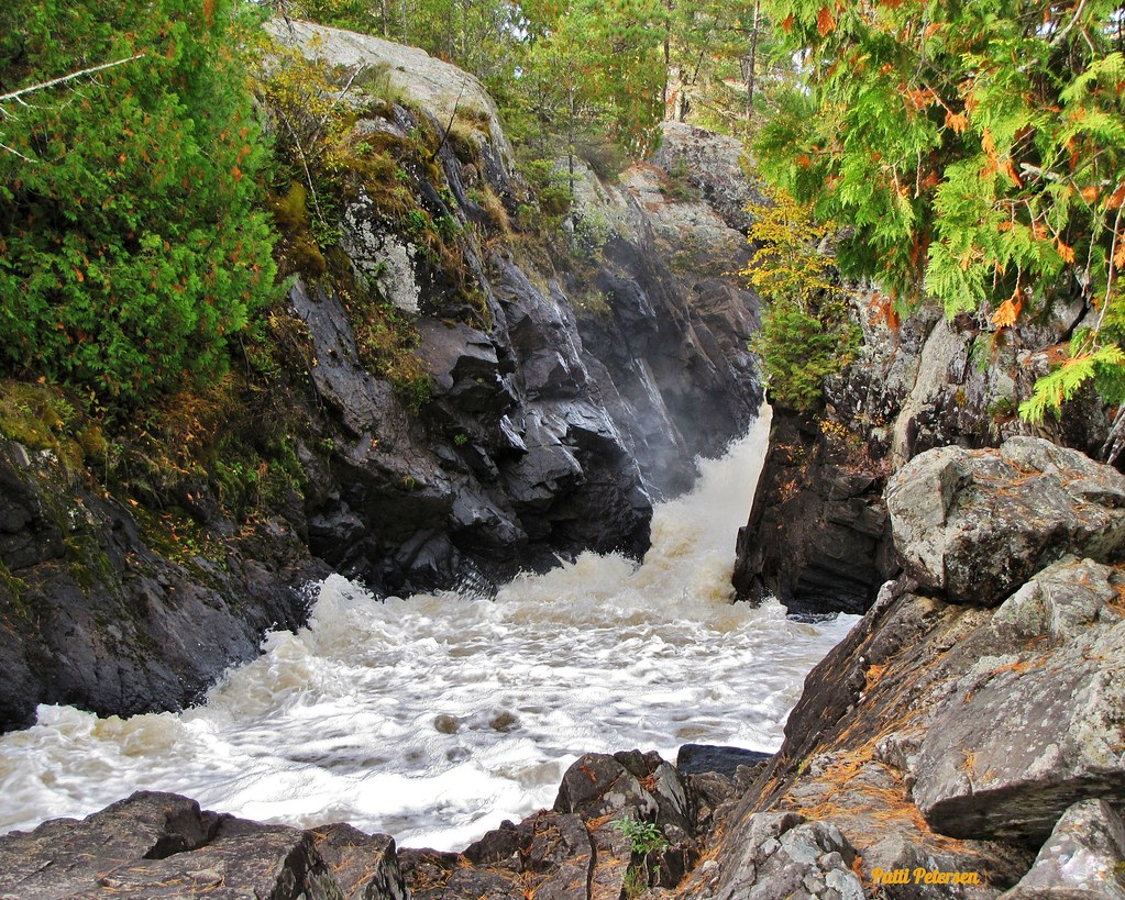
Vermillion River

Willow River
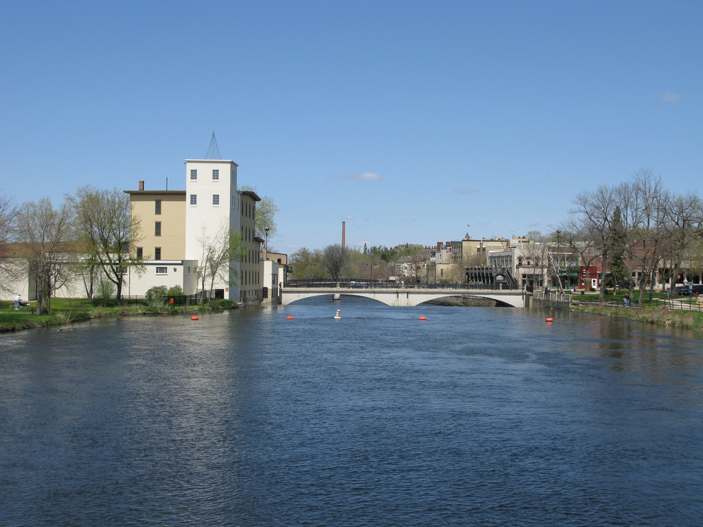
Cannon River
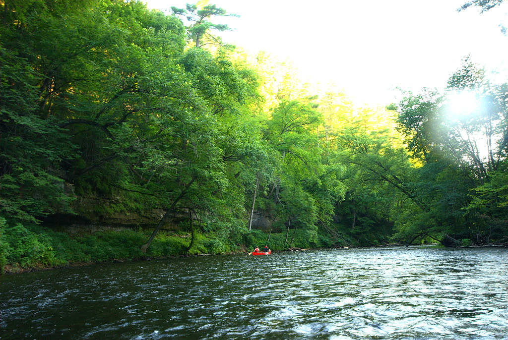
Apple River
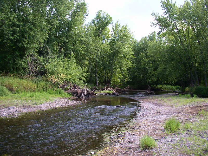
Sunrise River
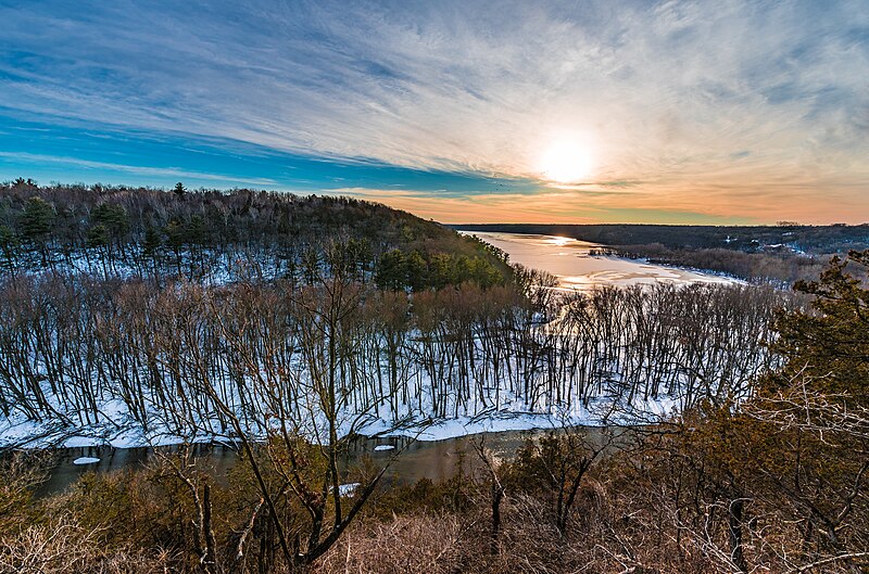
Kinnickinnic River
Explore Minnesota waters
Top paddling waters
Popular Cities
Loading popular cities...
Explore near Long Lake
Access points
- Long Lake Nelson Lakeside Park Boat Ramp
- South Lake Access
- Nelson Lakeside Park Access
- Summit Beach Park Access
- Luce Line Trail Bridge
- Browns Bay-tanager Lk Ch Bridge
- Arcola Channel Bridge
- Grays Bay Channel Bridge
- Wet Lands Bridge
- Crystal Bay Channel Bridge
- Narrows Chan; Circle Rd Bridge
- Pioneer Creek Bridge
- All 72 spots
Nearby waters
More in Minnesota

Smarter Paddling Starts in the App.
Paddleways gives you everything you need to plan smarter, paddle better, and own every trip from first launch to takeout.