Pigs Eye Lake
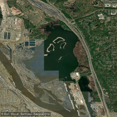
Pigs Eye Lake
- Boat Ramps
- 0
- Access Points
- 0
- Campsites
- 0
Pigs Eye Lake is a 628-acre shallow, backwater lake situated southeast of St. Paul within Mississippi River's Pool 2. The lake is part of Pig's Eye Park, which features hiking trails and bird watching areas. Paddlers should be aware that this urban lake faces significant water quality issues. The water is undrinkable due to sewage and industrial pollution, and eating fish caught here is not recommended.
The lake supports one of the largest urban heron and egret rookeries in the Midwest. Birdwatchers can spot great blue herons, great egrets, and black-crowned night herons in the shallow water or perched in trees. Bald eagles are also frequently seen in the area.
Paddlers should exercise caution, as the lake experiences barge traffic and development. The current can be deceptively swift, and motorboats create large wakes that can swamp unsuspecting paddlers. Stay close to shore when approaching access points.
The lake is part of a complex ecosystem where ecology, landscape, history, and culture intersect. It's situated in the East Side River District, an area with multiple uses including Dakota homeland and sacred sites, industry, and natural areas serving as a bird migration route.
Access to Pig's Eye Park is available from sunrise to 11 p.m. Parking is available along Fish Hatchery Road, with the Minnesota DNR Regional Headquarters & Fish Hatchery located adjacent to the park. The Sam Morgan Regional Trail/Mississippi River Trail connects to the park, providing additional recreational opportunities.
Note that the U.S. Army Corps of Engineers is currently undertaking a restoration project to improve aquatic and terrestrial habitat while maintaining the lake's shoreline. This may affect paddling conditions in the near future.
Water access, boat ramps & amenities
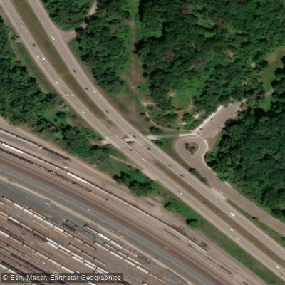
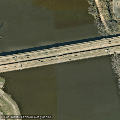
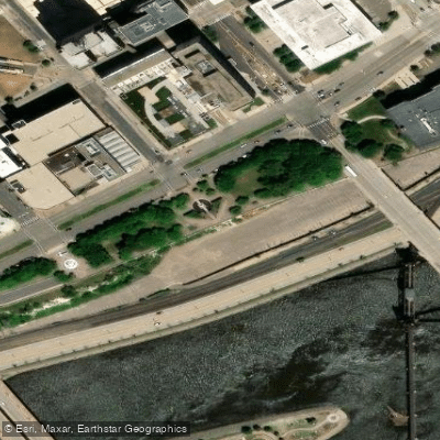
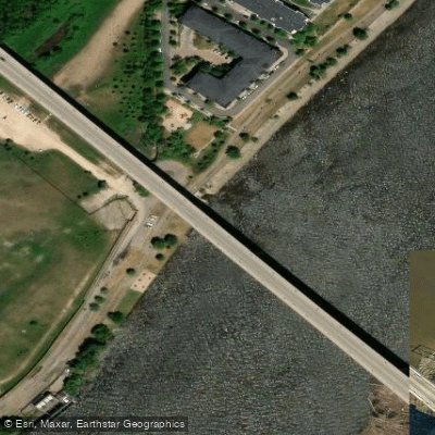
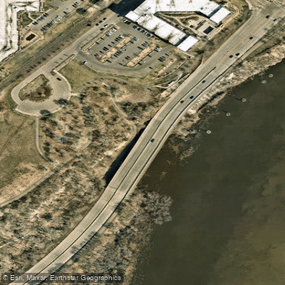
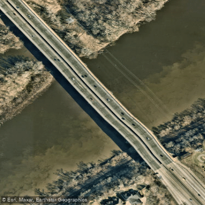
Learn how to get on Pigs Eye Lake. Uncover great paddling access points, boat ramps, and all the facilities you need for an unforgettable day on the water. Some locations shown may border or include private property. Always check property boundaries and applicable regulations before visiting. PaddleWays's Public & Private Land layer can help you plan your access with confidence.
Paddle smarter with real-time insights
Whether you're en route and conditions shift or you're looking for the best spot based on current flows, we enable you to make informed decisions on the fly.








Find Places to Paddle

Over 400,000 Places to Paddle
Every user gets free access to launch points, boat ramps, and public property parcels.


Water and weather conditions (10 day forecast)
See the best times to paddle Pigs Eye Lake and check the forecast before you go.
No forecast data available.
Paddling near Pigs Eye Lake

Mississippi River
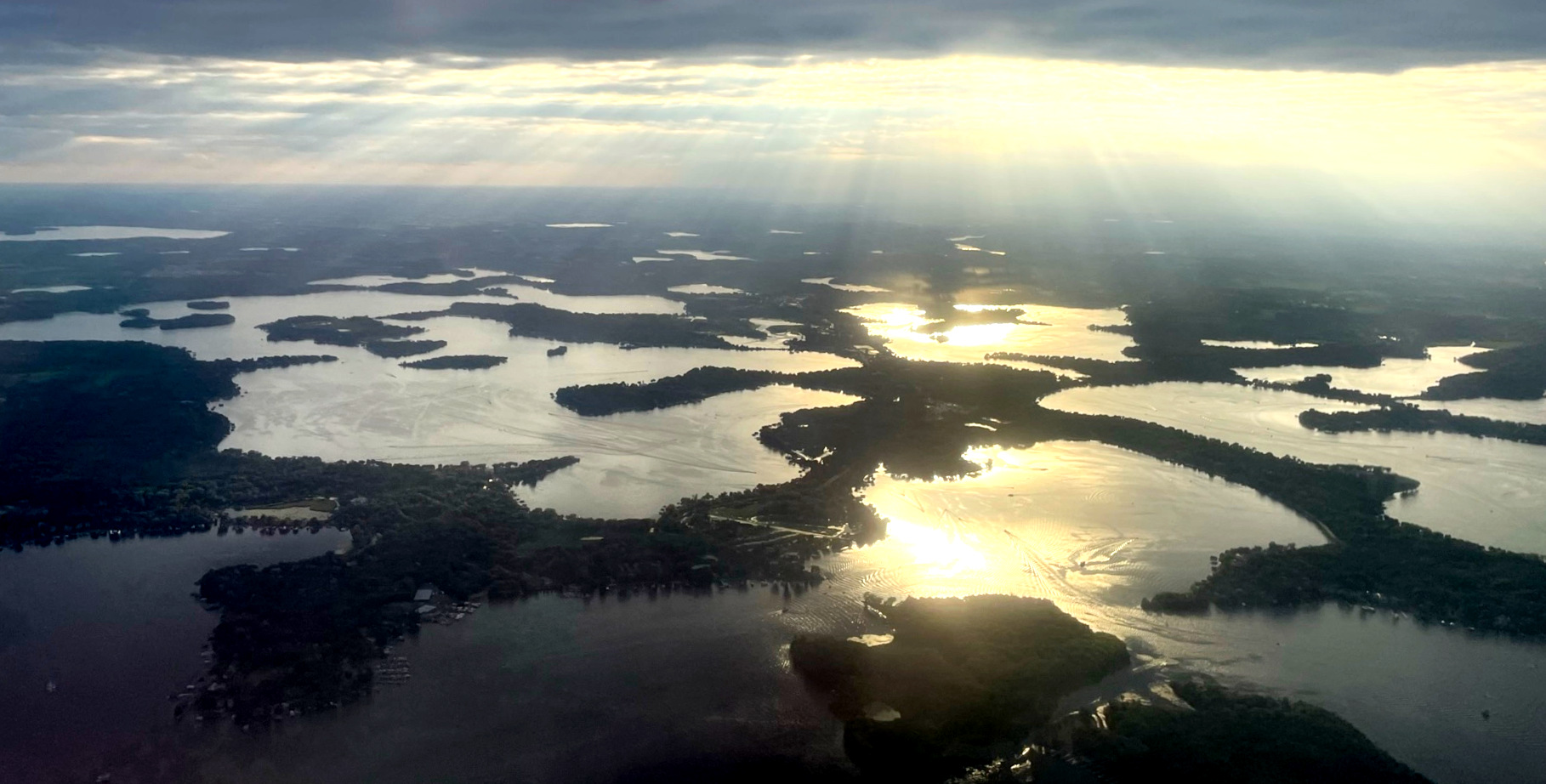
Lake Minnetonka
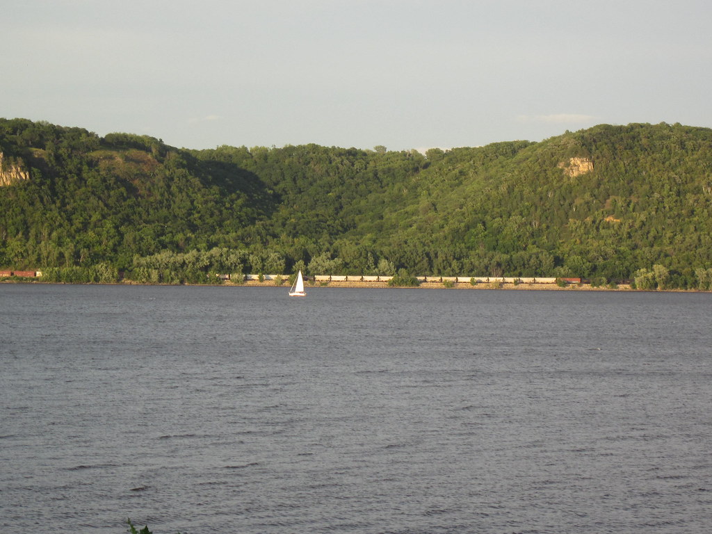
Lake Pepin
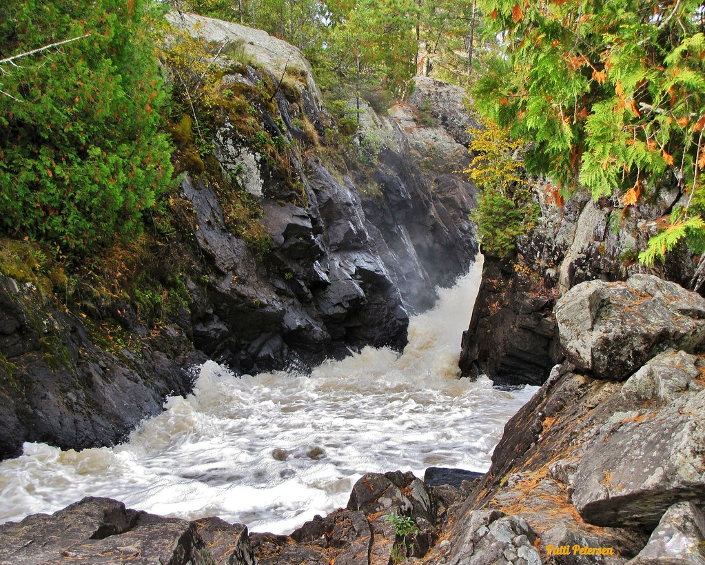
Vermillion River

Willow River
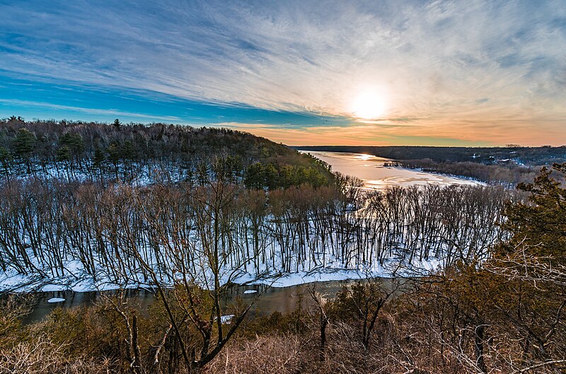
Kinnickinnic River
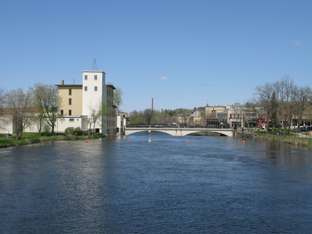
Cannon River
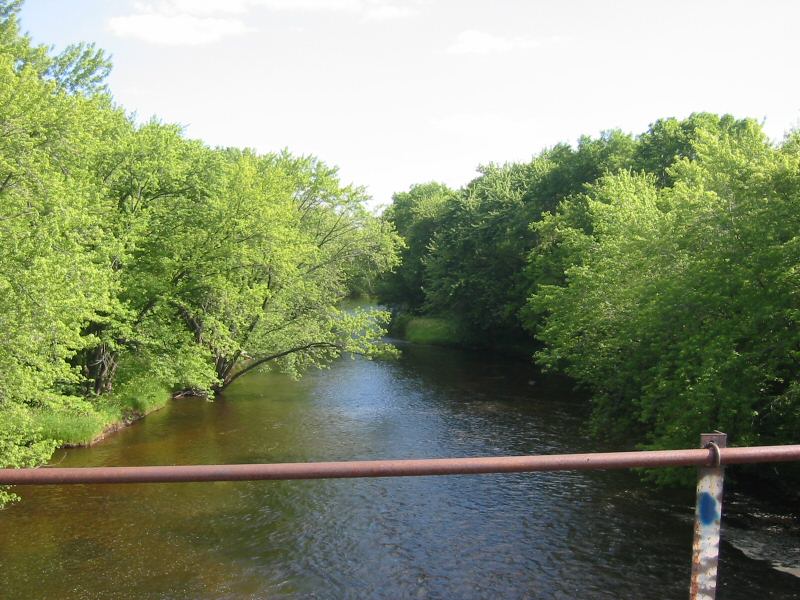
Rum River
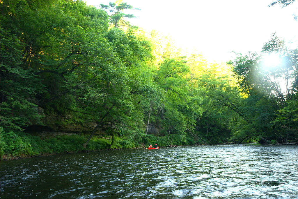
Apple River
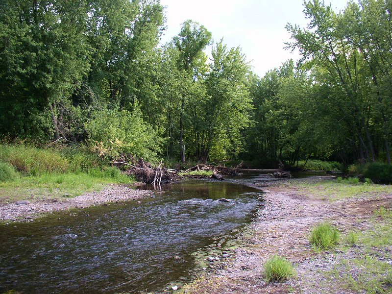
Sunrise River
Explore Minnesota waters
Top paddling waters
Popular Cities
Loading popular cities...
Explore near Pigs Eye Lake
Access points
Nearby waters
More in Minnesota

Smarter Paddling Starts in the App.
Paddleways gives you everything you need to plan smarter, paddle better, and own every trip from first launch to takeout.