Curated by PaddleWays
RouteClass II–IV
- Distance
- 2.5 mi
- Paddle time
- ~0.5 hrs
- Put-in → take-out
- Lutsen Ski Hill Access → Highway 61 Access
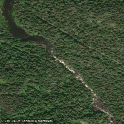
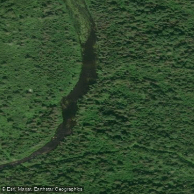
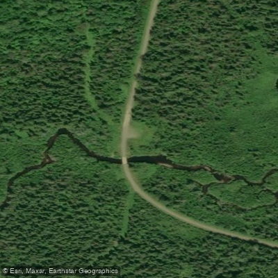
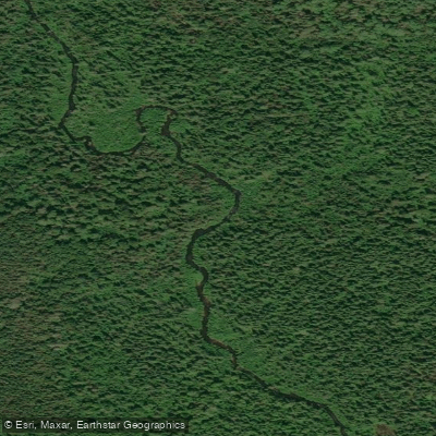
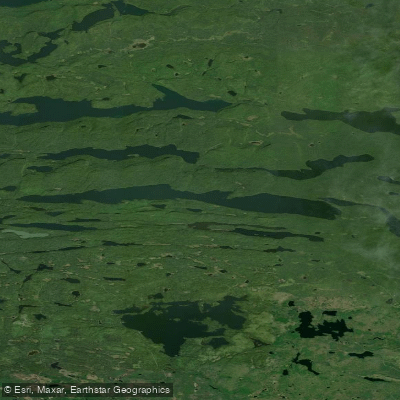
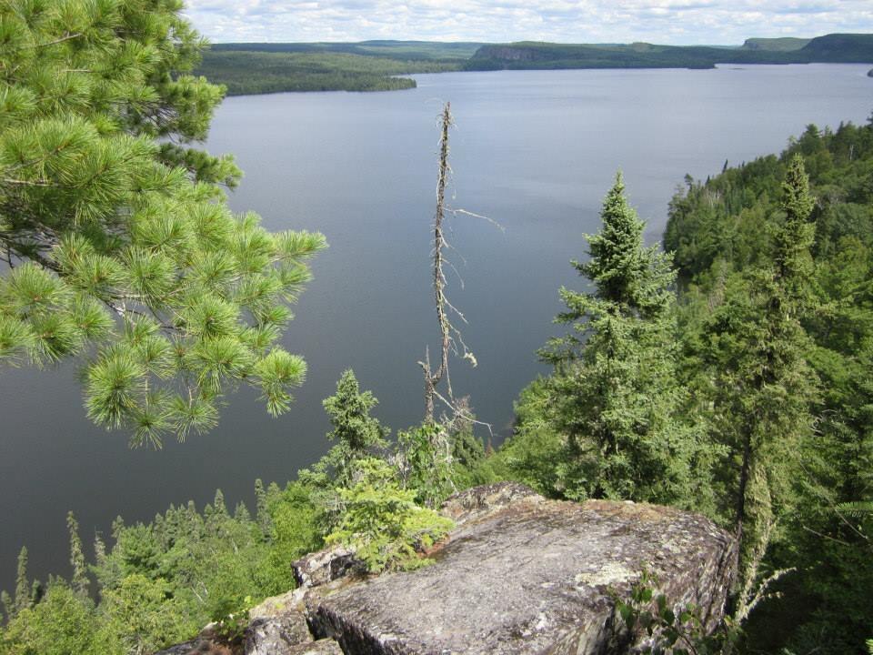
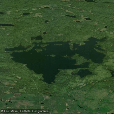
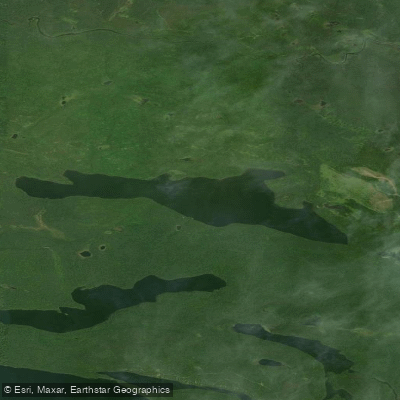
The Poplar River originates in the Boundary Waters Canoe Area Wilderness at Hilly Lake and flows approximately 25 miles southeast through Cook County before emptying into Lake Superior near Lutsen. The river descends from the plateau country through a dramatic transition zone, dropping about 1,000 feet in elevation with an average gradient of 41 feet per mile in its lower reaches. This steep descent creates numerous waterfalls and rapids, particularly in the final miles before reaching the lake. The river system includes significant tributaries such as the Tait River, Caribou Creek, Barker Creek, and Mistletoe Creek, draining a watershed of 114 square miles. The upper watershed features a chain of lakes including Rice Lake, Silver Lake, Bulge Lake, and Crescent Lake, connected by the historic Ojibwe canoe route that linked the Boundary Waters to Lake Superior—a pathway used for thousands of years.
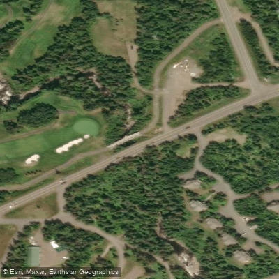
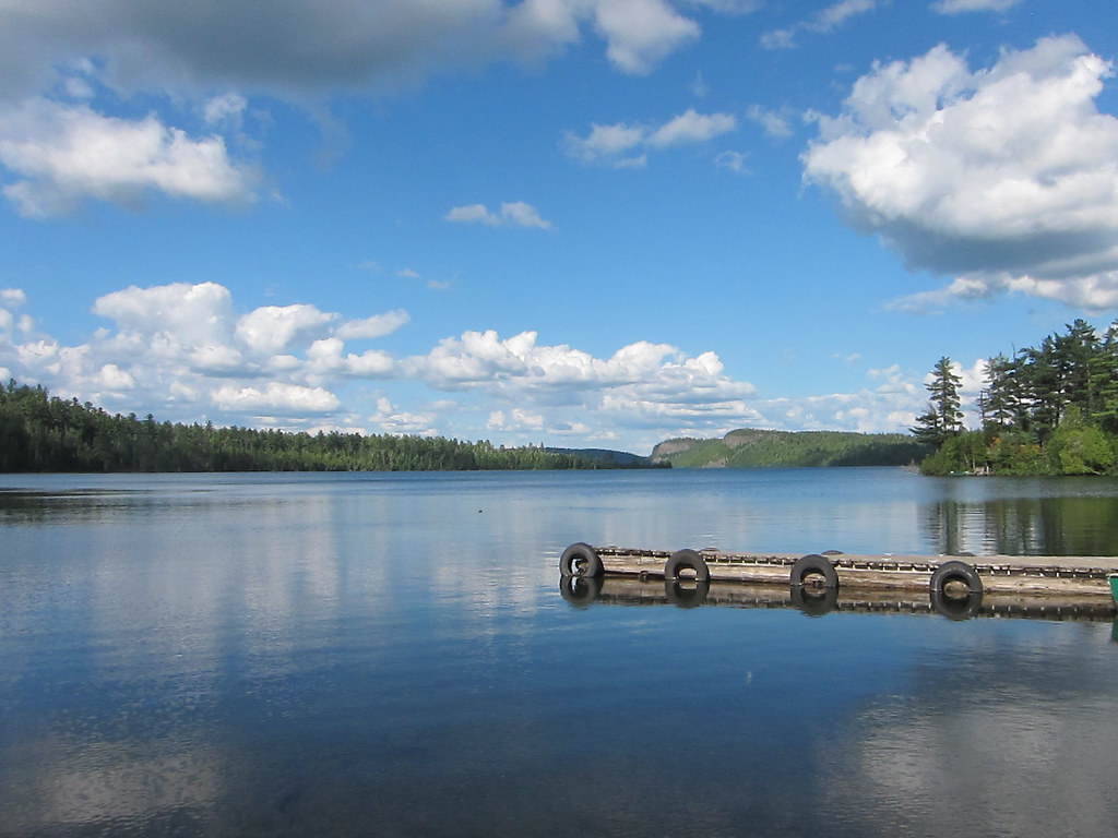
Paddling opportunities exist primarily in the upper watershed through the lake chain, though portages are required. The Crescent Lake Canoe Route offers a traditional wilderness experience through relatively pristine country, with portages ranging from 10 to 160 rods connecting the lakes. Access is available at Crescent Lake campground off the Sawbill Trail. The lower river below the ski area is generally too steep and technical for recreational paddling, featuring class II-IV+(V) whitewater in the 2.2 miles above Highway 61, suitable only for expert kayakers during appropriate water levels.
The Poplar River supports a cold-water fishery, with native brook trout in the upper reaches and steelhead, chinook salmon, coho salmon, and rainbow trout in the lower anadromous section below the barrier falls. The 1989 state record chinook salmon—weighing over 33 pounds—was caught at the river's mouth. However, the lower river has experienced water quality challenges related to development in the Lutsen area, with turbidity levels exceeding standards during high flows.
Multiple waterfalls punctuate the river's course, including accessible falls at Lutsen Resort near the mouth and upper falls near the ski area. The Superior Hiking Trail crosses the river, providing hiking access to overlooks of the Poplar River Valley and the Sawtooth Mountains.
Seasonal flow patterns show peak runoff during April-May snowmelt, with 55% of annual sediment load occurring during these months. Summer flows are typically lower, though intense rainstorms can cause rapid rises.
The river flows through Superior National Forest land in its upper reaches, with the lower valley containing a mix of public and private lands including resort development. Historical use includes logging operations in the early 20th century, though the watershed has seen less intensive logging than neighboring drainages, maintaining relatively intact forest cover across most of its 77% forested landscape.
Curated routes
Hand-picked by the PaddleWays team, with put-ins, take-outs, paddle times and the hazards along the way.
RouteClass II–IV
RouteClass II
RouteClass II–IV
Hazards
No hazards are marked on Poplar River yet. That is not the same as none being there: if you find one, report it for the next paddler.
From the community
Nobody has shared a trip on Poplar River yet. Paddle it, then tell the next paddler how it went.
See exactly where the public can get on and off the river. Launch points and boat ramps are paired with PaddleWays' public land data so you know where you can legally land.
Public shoreline
79%of the river's shoreline is public
Flows, weather and a route-by-route verdict, so you know which stretch of the Poplar River is worth paddling today.
No forecast data available.
Live flows, marked hazards and fresh trip reports from paddlers who were just on the water, all in one place.





Every user gets free access to launch points, boat ramps, and public property parcels.
Loading popular cities...
PaddleWays gives you everything you need to plan smarter, paddle better, and own every trip from first launch to takeout.