Beaver Dam Lake
Beaver Dam Lake
- Boat Ramps
- 4
- Access Points
- 5
- Campsites
- 1
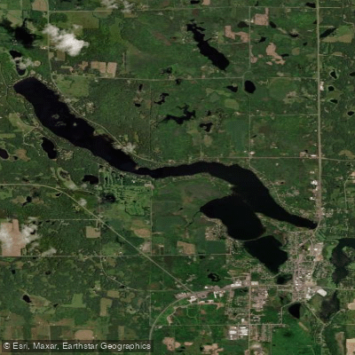
Beaver Dam Lake spans 1,163 acres in Barron County, Wisconsin, with portions extending into the Towns of Maple Plain, Crystal Lake, and Cumberland. The lake is separated into distinct west and east basins, with downtown Cumberland situated between them. The West Lake basin is the larger of the two, featuring several named bays including Tiger Bay at the north end, Williams Bay west of Eagle Point, and Rabbit Island Bay. This western basin contains the lake's deepest point at approximately 106 feet at normal water level. The East Lake basin includes Norwegian Bay at the north end, City Bay east of downtown Cumberland, and Cemetery Bay south of Highway 48. This basin is predominantly open water with several smaller unnamed bays supporting extensive aquatic vegetation communities.
The two basins connect via a channel underneath the recently reconstructed Highway 63 bridge, which now allows for improved navigation between sections. Six public boat launches provide access around the lake, including Eagle Point Campground and Tourist Park.
The lake's maximum depth of 106 feet makes it one of the deeper inland lakes in the region, though water clarity varies significantly between basins. West Lake generally exhibits better water quality with mesotrophic to oligotrophic conditions, while East Lake tends toward eutrophic states, particularly in Norwegian Bay, which receives inflow from a 1937 diversion ditch that more than doubled the lake's natural drainage area.
The shoreline is almost entirely developed with residential properties, though some undeveloped stretches remain in west Rabbit Island Bay and along the north side of East Lake. Anglers target multiple species including muskellunge, northern pike, walleye, largemouth and smallmouth bass, and various panfish.
The lake's name reflects its history, as downtown Cumberland was once known as the "Island City" when surrounded by Beaver Dam, Library, and Collingwood Lakes before gradual infilling connected the roads. Water quality monitoring continues at multiple stations, with ongoing management addressing sediment loading and aquatic plant growth through various watershed improvement initiatives.
Water access, boat ramps & amenities
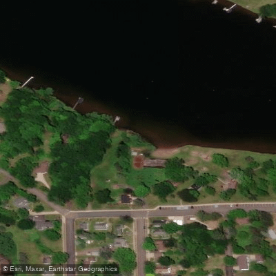
Learn how to get on Beaver Dam Lake. Uncover great paddling access points, boat ramps, and all the facilities you need for an unforgettable day on the water. Some locations shown may border or include private property. Always check property boundaries and applicable regulations before visiting. PaddleWays's Public & Private Land layer can help you plan your access with confidence.
Paddle smarter with real-time insights
Whether you're en route and conditions shift or you're looking for the best spot based on current flows, we enable you to make informed decisions on the fly.








Find Places to Paddle

Over 400,000 Places to Paddle
Every user gets free access to launch points, boat ramps, and public property parcels.


Water and weather conditions (10 day forecast)
See the best times to paddle Beaver Dam Lake and check the forecast before you go.
No forecast data available.
Paddling near Beaver Dam Lake

Mississippi River
Apple River
Sunrise River

Willow River
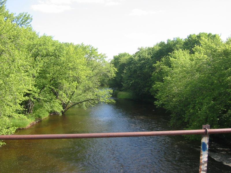
Rum River
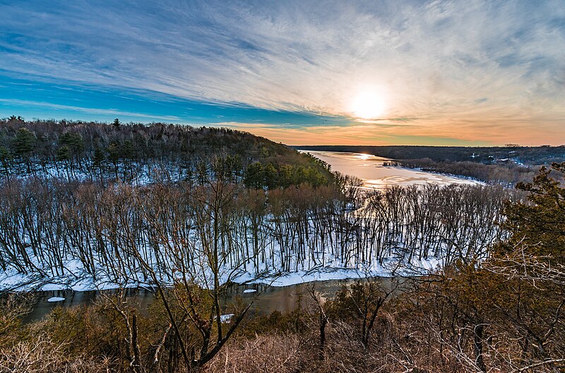
Kinnickinnic River
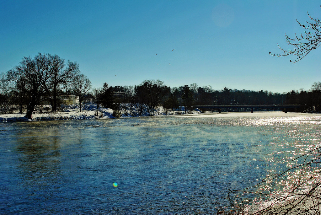
Red Cedar River
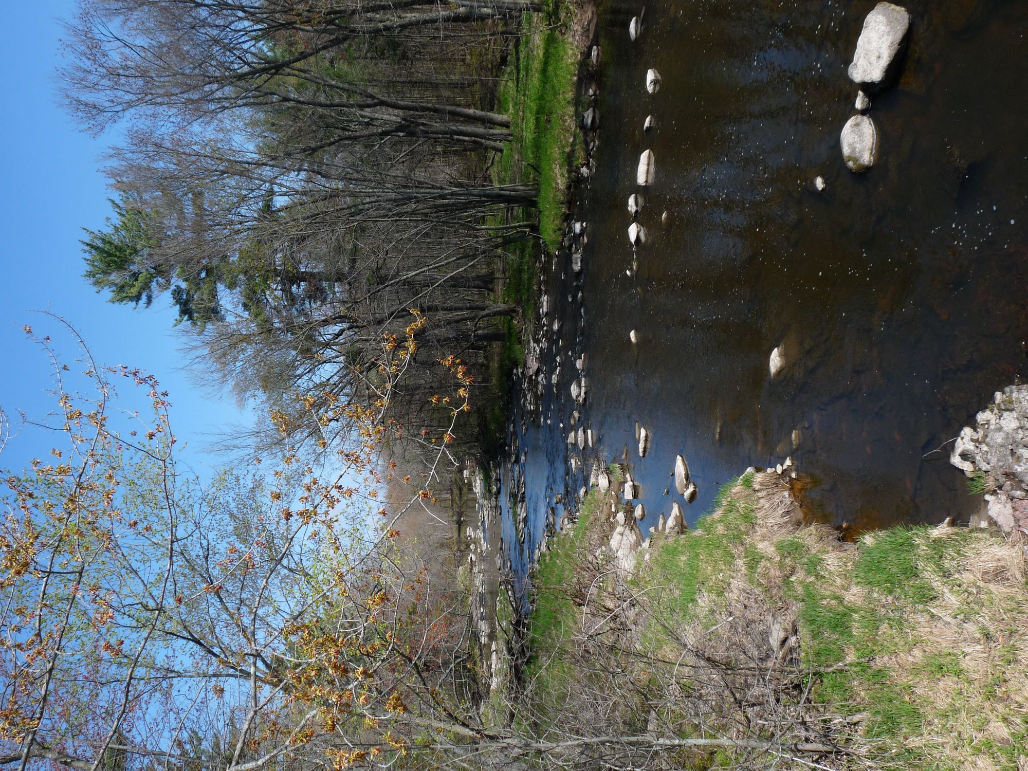
Yellow River
Vermillion River
Explore Wisconsin waters
Top paddling waters
Popular Cities
Loading popular cities...
Explore near Beaver Dam Lake
Access points
Nearby waters
More in Wisconsin

Smarter Paddling Starts in the App.
Paddleways gives you everything you need to plan smarter, paddle better, and own every trip from first launch to takeout.