Temperance River
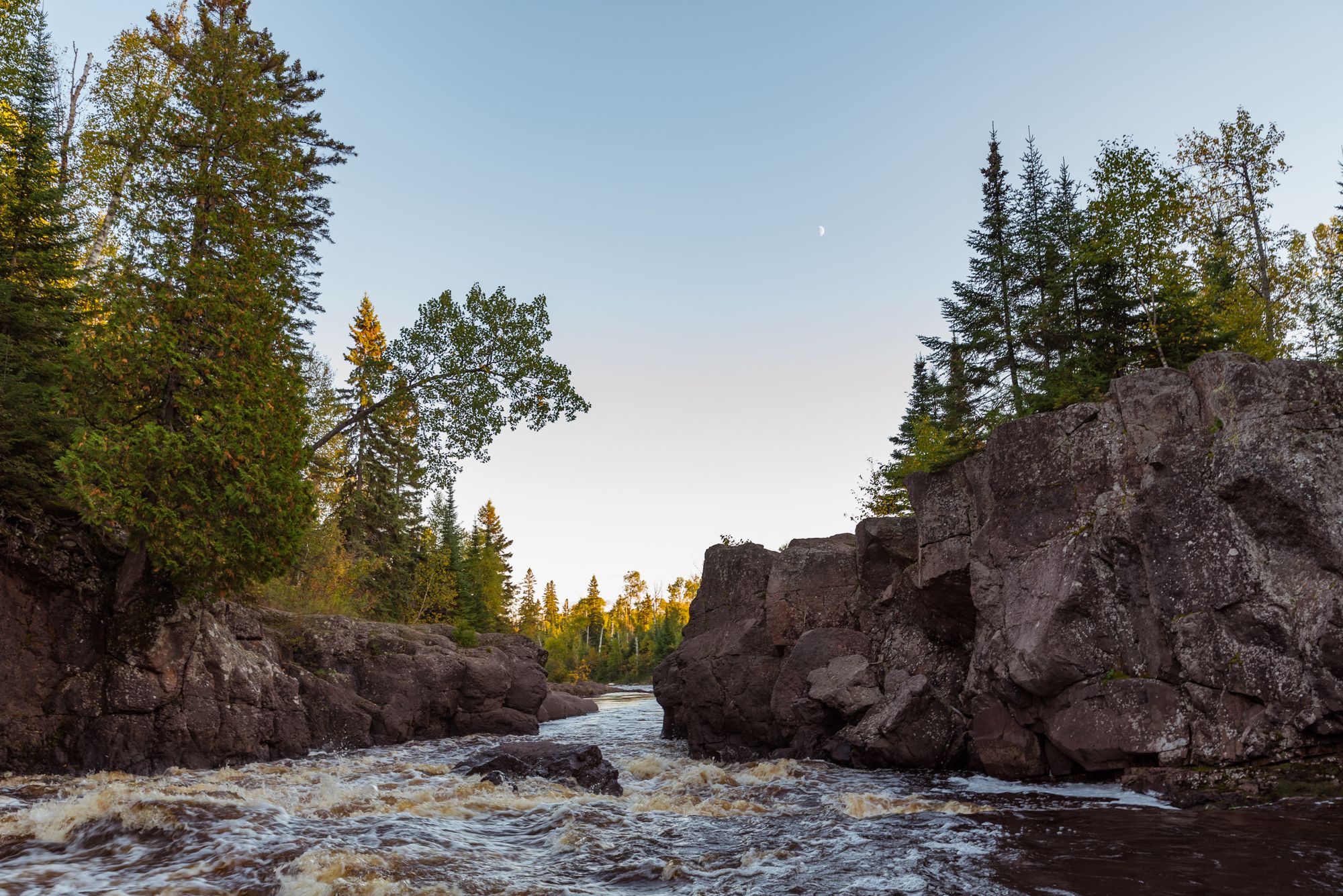
Temperance River
- Boat Ramps
- 0
- Access Points
- 5
- Campsites
- 158
The Temperance River originates at Brule Lake in northeastern Minnesota's Boundary Waters Canoe Area Wilderness, flowing south for 39.2 miles before emptying into Lake Superior. This dramatic North Shore river carves through ancient bedrock, creating a series of impressive gorges and waterfalls as it descends over 800 feet in elevation. Paddling opportunities range from flatwater canoeing in the upper reaches to challenging whitewater in the lower gorge.
The upper section from Brule Lake to Baker Lake offers scenic wilderness paddling suitable for intermediate canoeists, with some portaging required around rapids. The middle section features a narrow gorge with class II-III rapids, best suited for advanced whitewater kayakers. The lower 8.5-mile stretch from Forest Road 166 to Temperance River State Park provides the most accessible whitewater, with class II-III rapids and potential class IV features at high water. Spring snowmelt typically offers the best whitewater conditions, while summer levels are more suitable for beginner/intermediate paddlers.
The river is lined with boreal forest, providing habitat for moose, black bears, and wolves. Bald eagles and ospreys are frequently sighted. Key landmarks include Hidden Falls and Upper Falls in the dramatic gorge section. Temperance River State Park, located where the river meets Lake Superior, offers camping, hiking trails, and stunning views of the river's final plunge into the lake.
Primary access points are at Brule Lake, Baker Lake, Forest Road 166, and Temperance River State Park. The nearby town of Tofte provides services and outfitters. The river's name comes from the lack of a sandbar at its mouth, unusual among North Shore streams. It was an important transportation route for the Ojibwe people and later for fur traders and loggers.
Paddlers should be aware of cold water conditions year-round and the potential for dangerous hydraulics in the gorge sections. Permits are required for overnight trips in the Boundary Waters portion. Multi-day canoe trips are possible by combining the Temperance with connecting lakes and portage routes in a loop, allowing paddlers to experience both the river's scenic upper reaches and the rugged North Shore landscape.
Water access, boat ramps & amenities
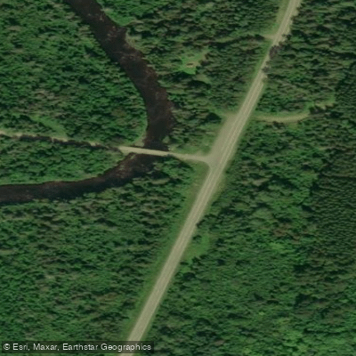
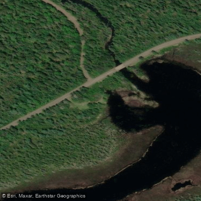
Learn how to get on Temperance River. Uncover great paddling access points, boat ramps, and all the facilities you need for an unforgettable day on the water. Some locations shown may border or include private property. Always check property boundaries and applicable regulations before visiting. PaddleWays's Public & Private Land layer can help you plan your access with confidence.
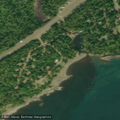
Paddle smarter with real-time insights
Whether you're en route and conditions shift or you're looking for the best spot based on current flows, we enable you to make informed decisions on the fly.








Find Places to Paddle

Over 400,000 Places to Paddle
Every user gets free access to launch points, boat ramps, and public property parcels.


Water and weather conditions (10 day forecast)
See the best times to paddle Temperance River and check the forecast before you go.
No forecast data available.
Paddling near Temperance River

Lake Superior
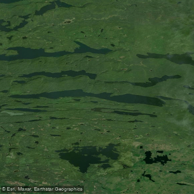
Pine Lake
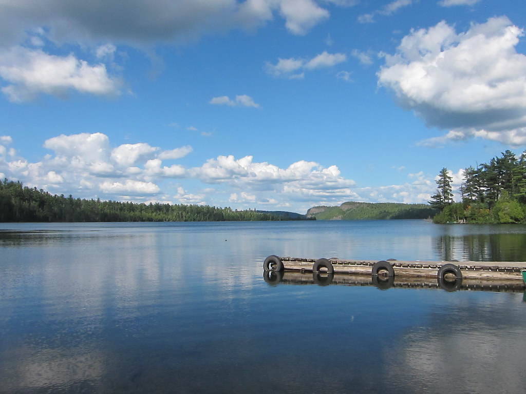
Clearwater Lake
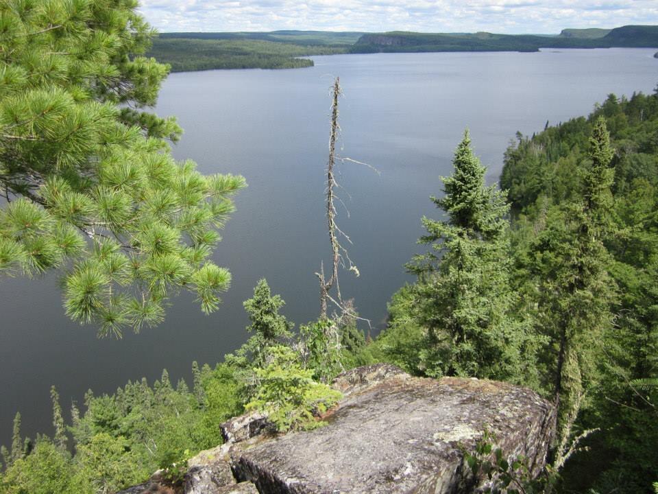
Rose Lake
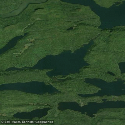
Duncan Lake
Lenore Lake
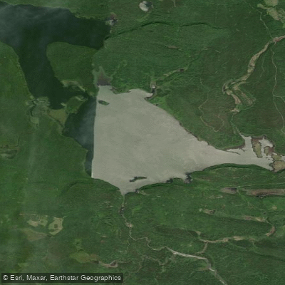
South Fowl Lake
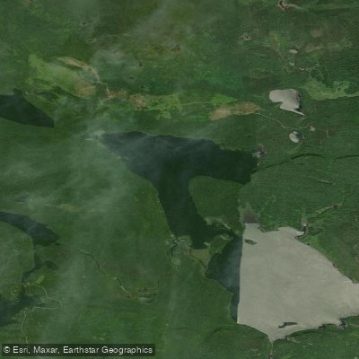
North Fowl Lake
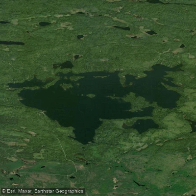
Greenwood Lake
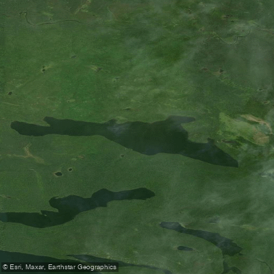
Moose Lake
Explore Minnesota waters
Top paddling waters
Popular Cities
Loading popular cities...
Explore near Temperance River
Access points
- Temperance River State Park Access
- Marsh Lake Public Water Access Site
- Baker Lake Public Water Access Site
- Lake Superior Access
- Temperance River State Park Access
- Temperance River Bridge
- Temperance River Bridge
- Temperance River Bridge
- Temperance River Bridge
- Temperance River Bridge
- Temperance River Bridge
- Cross River Bridge
- All 176 spots
Nearby waters
More in Minnesota

Smarter Paddling Starts in the App.
Paddleways gives you everything you need to plan smarter, paddle better, and own every trip from first launch to takeout.