Wapsipinicon River
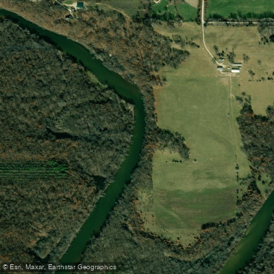
Wapsipinicon River
- Boat Ramps
- 46
- Access Points
- 66
- Campsites
- 26
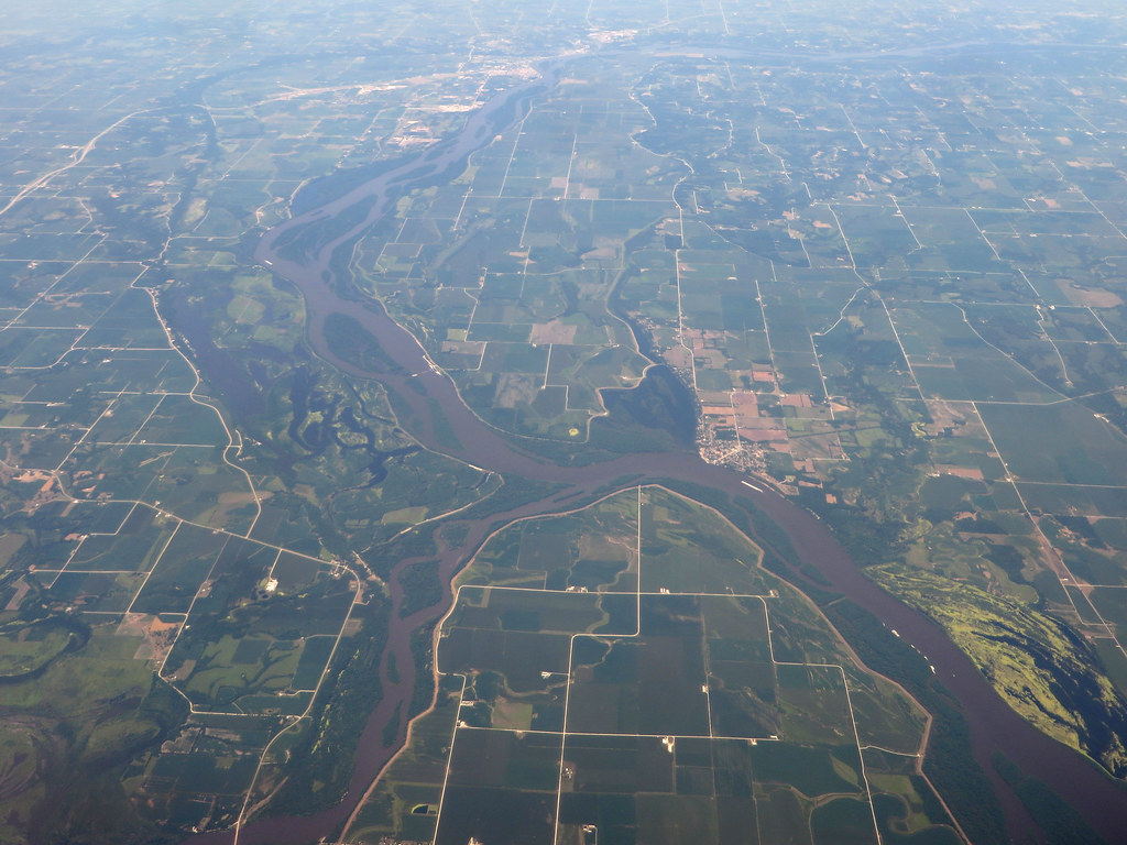
The Wapsipinicon River, affectionately known as the Wapsi by locals, is a scenic waterway that originates in southern Minnesota and flows southeast for approximately 300 miles through Iowa before joining the Mississippi River. This meandering river drains a largely rural watershed, passing through picturesque farmland, limestone bluffs, and expansive floodplain forests.
Paddling opportunities abound on the Wapsipinicon, with numerous sections catering to various skill levels. The upper reaches near Tripoli offer quicker water, while the lower sections become increasingly placid as the river widens. Popular paddling routes include the scenic stretch from Troy Mills to Central City, the historic segment from Independence to Quasqueton, and the final leg from McCausland to the Mississippi confluence. The river's difficulty ranges from Class I to II in its upper portions, becoming primarily flatwater as it approaches the Mississippi. Most sections are suitable for novice paddlers, though some experience is recommended for navigating occasional riffles and snags.
Spring and early summer typically offer the best water levels for paddling, with fall providing stunning foliage views. Summers can occasionally see low water conditions, requiring careful navigation around exposed sandbars and rocks.
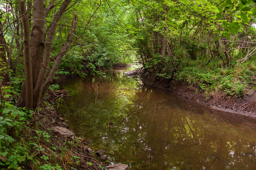
The Wapsipinicon's ecosystem supports a diverse array of wildlife. Paddlers may encounter white-tailed deer, wild turkeys, bald eagles, and various waterfowl. The river corridor is dominated by silver maple forests, with occasional limestone outcroppings adding geological interest.
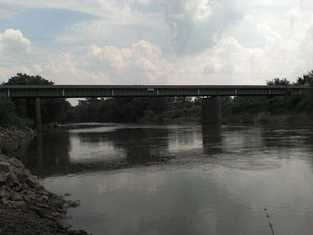
Notable landmarks include the historic 1872 bowstring arch bridge at Iron Bridge Access, the charming stone buildings of Stone City, and Sherman Park near the river's end, which offers unique limestone caves and an observatory. Key access points include Troy Mills, Central City, Independence, Quasqueton, Anamosa, and McCausland. These towns provide convenient put-in and take-out locations, often with nearby amenities.
The river holds significant cultural importance, with its name derived from Native American legend. It played a role in early European settlement and continues to be a valued recreational resource for eastern Iowa communities.
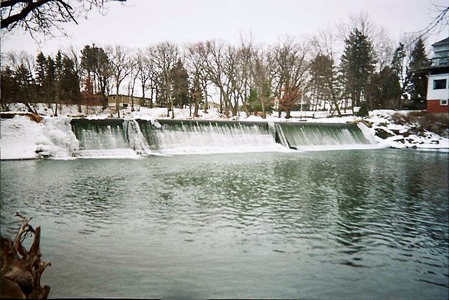
Safety considerations include watching for strainers and low-head dams, particularly near Independence and Anamosa. Paddlers should be aware of occasional high water conditions following heavy rains.
For those seeking multi-day adventures, the lower Wapsipinicon from Central City to the Mississippi allows camping on sandbars, offering an excellent opportunity for extended river trips through Iowa's scenic countryside.
Water access, boat ramps & amenities
Learn how to get on Wapsipinicon River. Uncover great paddling access points, boat ramps, and all the facilities you need for an unforgettable day on the water. Some locations shown may border or include private property. Always check property boundaries and applicable regulations before visiting. PaddleWays's Public & Private Land layer can help you plan your access with confidence.
Twin Ponds Access
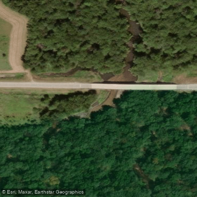
Upper Wapsi Access
Cortright Wildlife Area Access
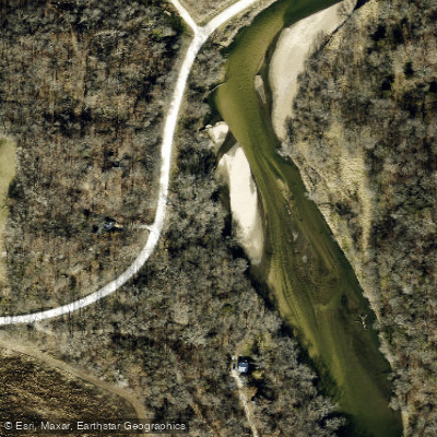
J.G. Sigmund Memorial Park Access
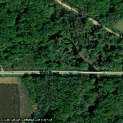
Elma Access
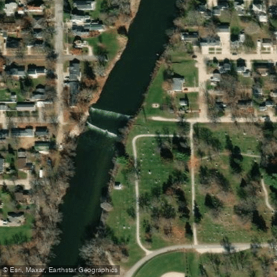
Independence City Access
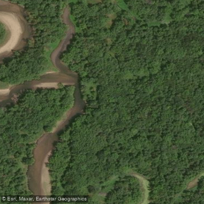
Child's Access
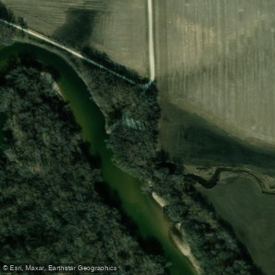
Troy Mills Access
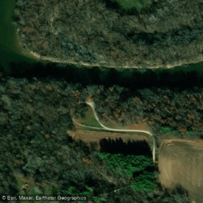
Boies Bend Area Access
Wapsi River Access
Paddle smarter with real-time insights
Whether you're en route and conditions shift or you're looking for the best spot based on current flows, we enable you to make informed decisions on the fly.








Find Places to Paddle

Over 400,000 Places to Paddle
Every user gets free access to launch points, boat ramps, and public property parcels.


Water and weather conditions (10 day forecast)
See the best times to paddle Wapsipinicon River and check the forecast before you go.
Wapsipinicon River at Independence, IA
All Flow Stations
Paddling near Wapsipinicon River
Explore Minnesota waters
Top paddling waters
Popular Cities
Loading popular cities...
Explore near Wapsipinicon River
Access points
Nearby waters
More in Minnesota

Smarter Paddling Starts in the App.
Paddleways gives you everything you need to plan smarter, paddle better, and own every trip from first launch to takeout.