Glendale Boat Ramp
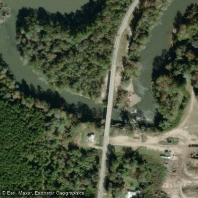
Glendale Boat Ramp
Glendale Boat Ramp provides improved public water access to the Bouie River and serves as the takeout point for the 7. 8-mile Lower Bouie Route paddling corridor.
The enhanced facility features a reconstructed ramp at standard slope, boat and kayak launches designed for fluctuating water levels, ADA-accessible pathways, vehicle and trailer parking, concrete steps to the sandy beach, security cameras, lighting, and a cleared landing area for anglers.
Nearby points of interest
Find excellent paddling spots, easy access to boat ramps, and all the amenities you need for a memorable day. Your adventure starts here.
Water and weather conditions (10 day forecast)
Check the forecast at Glendale Boat Ramp before you go paddling.
No forecast data available.
Paddling near Glendale Boat Ramp

Pearl River

Pascagoula River
Leaf River
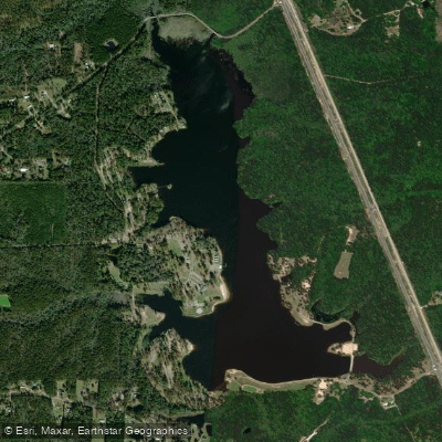
Geiger Lake
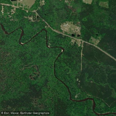
Black Creek
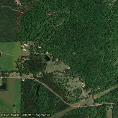
Bouie River
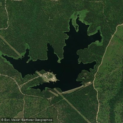
Lake Bill Waller
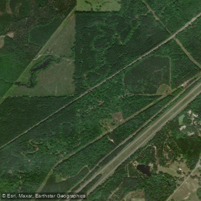
Tallahala Creek
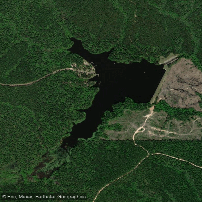
Lake Perry
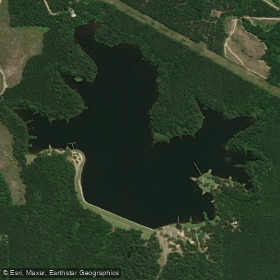
Lake Mike Connor
Mississippi licenses and regulations
Explore Mississippi waters
Top paddling waters
No waters available right now.
Popular Cities
Loading popular cities...
Explore near Glendale Boat Ramp

Smarter Paddling Starts in the App.
Paddleways gives you everything you need to plan smarter, paddle better, and own every trip from first launch to takeout.