Geiger Lake
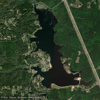
Geiger Lake
- Boat Ramps
- 1
- Access Points
- 10
- Campsites
- 4
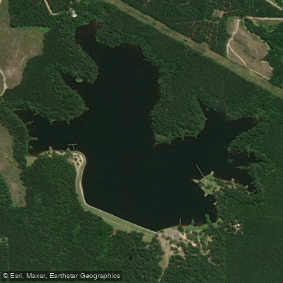
Geiger Lake is a 225-acre freshwater lake located within Paul B. Johnson State Park, 12 miles south of Hattiesburg, Mississippi. The lake, constructed in the mid-1940s using German prisoner of war labor from nearby Camp Shelby, offers diverse paddling opportunities amid a picturesque setting of majestic longleaf and loblolly pines, flowering dogwoods, and ancient oaks.
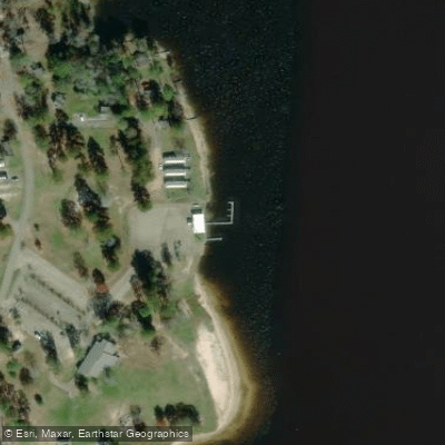
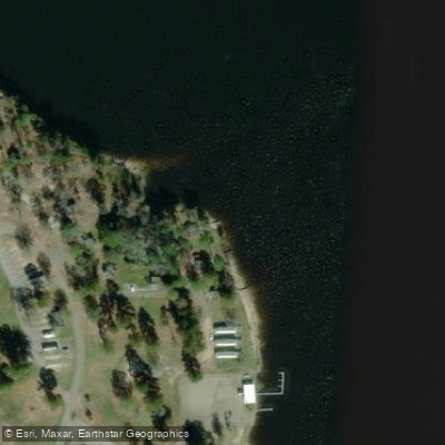
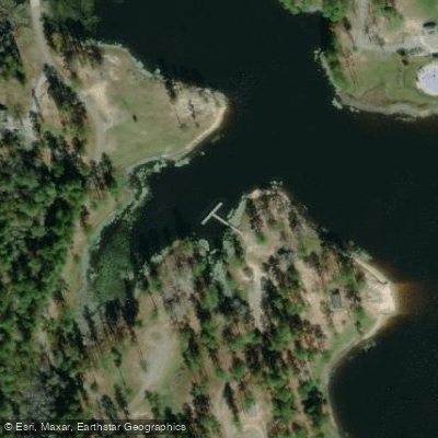
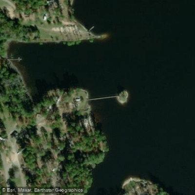
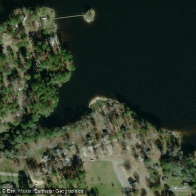
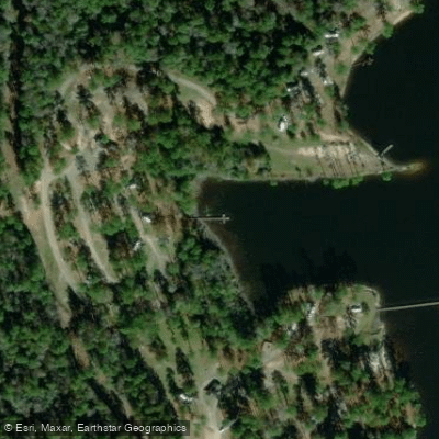
A boat launch with paved trailer parking is available near the visitor center, and the lake features multiple access points including a sand beach area behind the Visitor Center. The lake is well-suited for paddling, with designated swimming areas and clear boundaries for water skiing zones. Motorized activities, including skiing and pleasure boating, are restricted to the hours of 9:00 a.m. to 7:00 p.m., making early mornings and evenings ideal for peaceful paddling.
The lake is stocked with largemouth bass, bluegill, shellcracker (red ear), crappie, and channel catfish, making it possible to combine paddling with fishing. Annual biological surveys ensure healthy fish populations, and the lake receives regular maintenance including fertilization as needed.
Facilities include lakefront picnic areas with tables positioned near the water's edge, comfort stations near paved parking areas, and a visitor center with an outdoor deck overlooking the lake. Multiple coves and inlets provide opportunities for exploration, while the forested shoreline creates a natural backdrop for wildlife viewing.
Day use permits are required, and fishing licenses are necessary for anglers age 16-65. The lake's relatively small size and protected location within the state park make it suitable for paddlers of various skill levels, though visitors should be aware of motorized boat traffic during permitted hours.
Water access, boat ramps & amenities
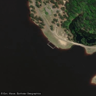
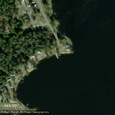
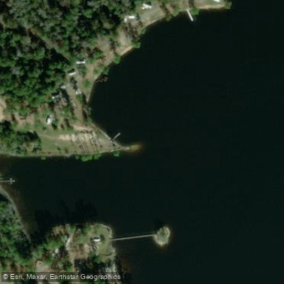
Learn how to get on Geiger Lake. Uncover great paddling access points, boat ramps, and all the facilities you need for an unforgettable day on the water. Some locations shown may border or include private property. Always check property boundaries and applicable regulations before visiting. PaddleWays's Public & Private Land layer can help you plan your access with confidence.
Paddle smarter with real-time insights
Whether you're en route and conditions shift or you're looking for the best spot based on current flows, we enable you to make informed decisions on the fly.








Find Places to Paddle

Over 400,000 Places to Paddle
Every user gets free access to launch points, boat ramps, and public property parcels.


Water and weather conditions (10 day forecast)
See the best times to paddle Geiger Lake and check the forecast before you go.
No forecast data available.
Paddling near Geiger Lake

Pearl River

Pascagoula River
Leaf River
Black Creek
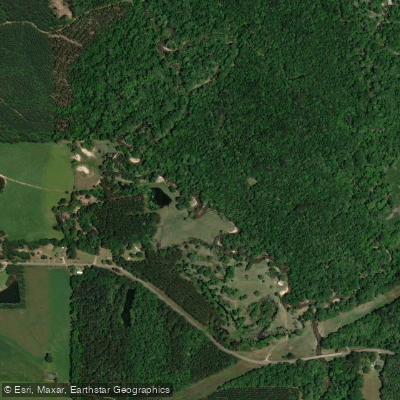
Bouie River
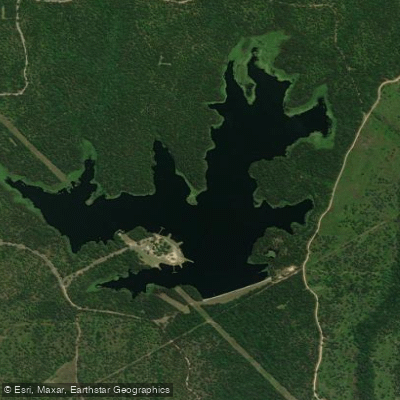
Lake Bill Waller
Tallahala Creek
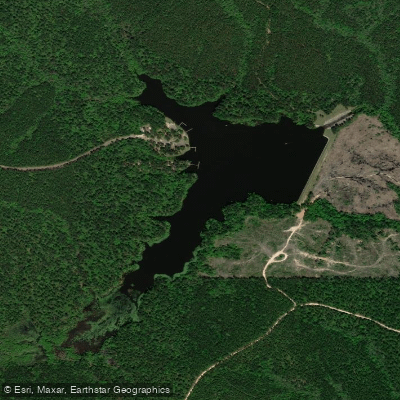
Lake Perry
Lake Mike Connor
Explore Mississippi waters
Top paddling waters
Popular Cities
Loading popular cities...
Explore near Geiger Lake
Access points
Nearby waters
More in Mississippi

Smarter Paddling Starts in the App.
Paddleways gives you everything you need to plan smarter, paddle better, and own every trip from first launch to takeout.