Lake Bill Waller
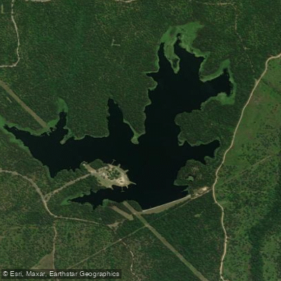
Lake Bill Waller
- Boat Ramps
- 1
- Access Points
- 5
- Campsites
- 0
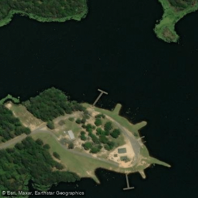
Lake Bill Waller is a 168-acre impoundment located 7 miles southeast of Columbia in Marion County, Mississippi. The lake features an abundance of logs, standing timber, and aquatic vegetation along its shorelines and coves, creating a richly structured environment. The surrounding thick forest adds to the lake's natural character.
A boat ramp provides primary access to the water. The lake includes three earthen piers and handicap-accessible fishing piers. Basic amenities include picnic tables and restrooms with showers. The maximum depth is 26 feet.
The lake is designated as a "No Wake" water body, which creates favorable conditions for paddling. Night activities are prohibited. While the lake is known primarily for fishing, its numerous coves and vegetated shorelines offer paddlers plenty of natural features to explore.
The lake has historical significance in Mississippi's fishing culture, having produced some of the state's largest bass, including a 15-pound, 14-ounce specimen in 1995. After renovation in 2003, the lake reopened in 2007 following draining and restocking.
Wildlife viewing opportunities center around the aquatic habitat, with various fish species including largemouth bass, bluegill, redear sunfish, and channel catfish. The abundant vegetation and structure provide cover for fish and create an ecosystem rich in natural diversity.
Camping is not permitted at the facility. A daily or annual fee is required for lake access. The lake is managed by the Mississippi Department of Wildlife, Fisheries, and Parks, with the main entrance located at 81 Columbia Purvis Road, Columbia, MS 39429.
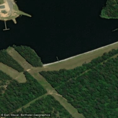
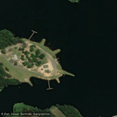
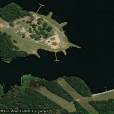
Water access, boat ramps & amenities
Learn how to get on Lake Bill Waller. Uncover great paddling access points, boat ramps, and all the facilities you need for an unforgettable day on the water. Some locations shown may border or include private property. Always check property boundaries and applicable regulations before visiting. PaddleWays's Public & Private Land layer can help you plan your access with confidence.
Paddle smarter with real-time insights
Whether you're en route and conditions shift or you're looking for the best spot based on current flows, we enable you to make informed decisions on the fly.








Find Places to Paddle

Over 400,000 Places to Paddle
Every user gets free access to launch points, boat ramps, and public property parcels.


Water and weather conditions (10 day forecast)
See the best times to paddle Lake Bill Waller and check the forecast before you go.
No forecast data available.
Paddling near Lake Bill Waller

Pearl River

Pascagoula River
Leaf River
Geiger Lake
Black Creek
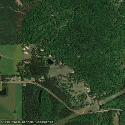
Bouie River
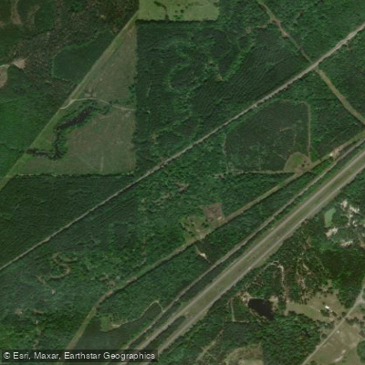
Tallahala Creek
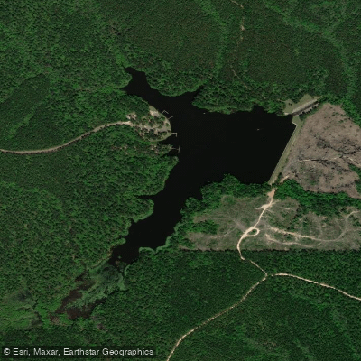
Lake Perry
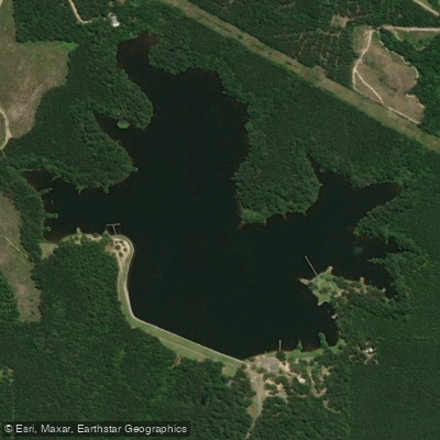
Lake Mike Connor
Explore Mississippi waters
Top paddling waters
Popular Cities
Loading popular cities...
Explore near Lake Bill Waller
Access points
Nearby waters
More in Mississippi

Smarter Paddling Starts in the App.
Paddleways gives you everything you need to plan smarter, paddle better, and own every trip from first launch to takeout.