Tallahala Creek
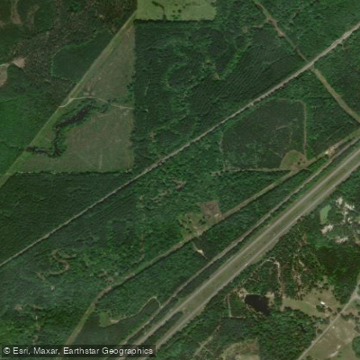
Tallahala Creek
- Boat Ramps
- 2
- Access Points
- 2
- Campsites
- 1
Tallahala Creek, a picturesque waterway in southeastern Mississippi, originates in Smith County and flows southward through Jasper and Jones counties before joining the Leaf River near Mahned. This tributary of the Leaf River spans approximately 85 miles, draining a significant portion of the Pascagoula River watershed. Paddlers flock to Tallahala Creek for its diverse landscapes and engaging water features.
The creek offers several popular sections, with the stretch from Ovett-Moselle Road to Runnelstown being particularly favored. This run, divided into two segments by Morriston Road, presents paddlers with a shallow, gravelly streambed interspersed with numerous white sandbars and gravel bars, creating an ideal environment for leisurely exploration and scenic breaks.
The difficulty of Tallahala Creek generally ranges from Class I to II, making it suitable for beginners and intermediate paddlers alike. However, water levels can fluctuate seasonally, affecting both difficulty and navigability. Spring and fall typically offer the most reliable water levels, while summer may require monitoring of recent rainfall.
The creek's ecosystem supports a rich variety of flora and fauna. Paddlers may encounter native fish species, turtles, and various waterfowl. The surrounding riparian zone features a mix of hardwood forests and pine stands characteristic of the region.
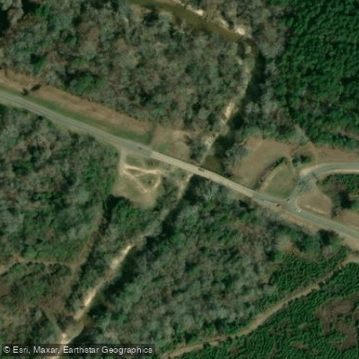
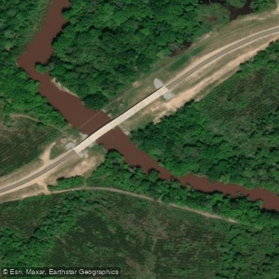
Key access points include Ovett-Moselle Road, Morriston Road (featuring a public boat ramp), and Runnelstown. These put-ins and take-outs are relatively close to the towns of Laurel and Hattiesburg, making Tallahala Creek easily accessible for day trips.
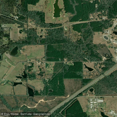
As paddlers approach the confluence with the Leaf River near Mahned, they'll notice a stark contrast between Tallahala's shallow, gravelly nature and the Leaf's deeper, sandy character. This junction holds particular significance for both its scenic beauty and its role in local folklore, with tales of large fish schools once populating the area.
Safety considerations include being aware of strainers and log jams, especially after high water events. Paddlers should also be mindful of private property along the banks and respect local regulations regarding camping and access points.
For those seeking a multi-day adventure, combining a Tallahala Creek run with a trip down the Leaf River offers an excellent opportunity to experience the region's diverse waterways. This combination allows paddlers to traverse through changing landscapes and gain a deeper appreciation for the interconnected nature of Mississippi's river systems.
Water access, boat ramps & amenities
Learn how to get on Tallahala Creek. Uncover great paddling access points, boat ramps, and all the facilities you need for an unforgettable day on the water. Some locations shown may border or include private property. Always check property boundaries and applicable regulations before visiting. PaddleWays's Public & Private Land layer can help you plan your access with confidence.
Paddle smarter with real-time insights
Whether you're en route and conditions shift or you're looking for the best spot based on current flows, we enable you to make informed decisions on the fly.








Find Places to Paddle

Over 400,000 Places to Paddle
Every user gets free access to launch points, boat ramps, and public property parcels.


Water and weather conditions (10 day forecast)
See the best times to paddle Tallahala Creek and check the forecast before you go.
TALLAHALA CREEK AT LAUREL, MS
All Flow Stations
Paddling near Tallahala Creek

Pearl River

Pascagoula River
Leaf River
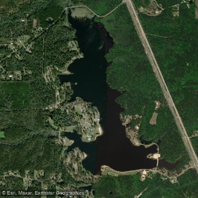
Geiger Lake
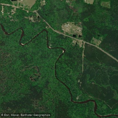
Black Creek
Bouie River
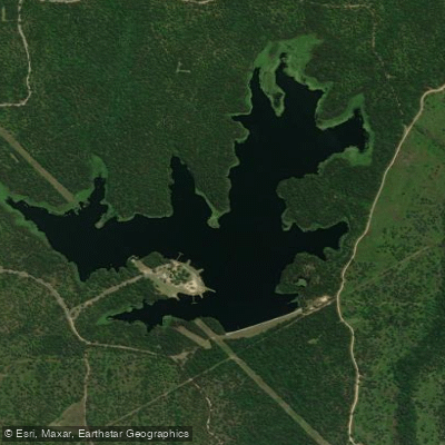
Lake Bill Waller
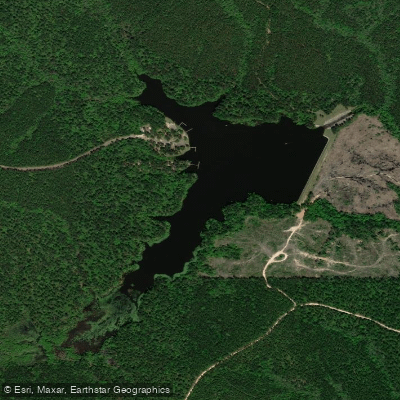
Lake Perry
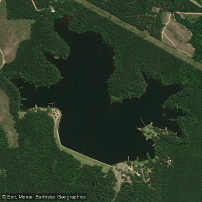
Lake Mike Connor
Explore Mississippi waters
Top paddling waters
Popular Cities
Loading popular cities...
Explore near Tallahala Creek
Access points
Nearby waters
More in Mississippi

Smarter Paddling Starts in the App.
Paddleways gives you everything you need to plan smarter, paddle better, and own every trip from first launch to takeout.