Pats Bluff Public Use Area Access
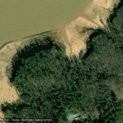
Pats Bluff Public Use Area Access
Pats Bluff Public Use Area Access provides a boat ramp for launching onto Sardis Lake, located on the southern shoreline near Batesville, Mississippi.
The day-use facility features a group picnic pavilion accommodating approximately 50 people and is accessible via MS Highway 278, approximately 10 minutes from Batesville and 20 minutes from Oxford.
Daily and annual day-use passes are required for boat ramp access, and the area is managed by the U. S. Army Corps of Engineers.
Nearby points of interest
Find excellent paddling spots, easy access to boat ramps, and all the amenities you need for a memorable day. Your adventure starts here.
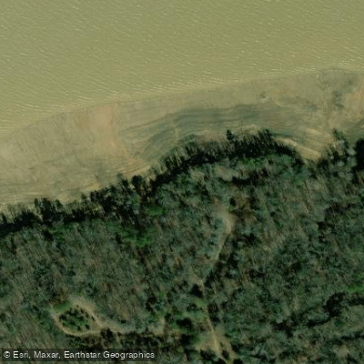
Black Jack Point Access
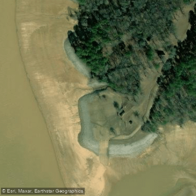
Clear Creek Landing Access
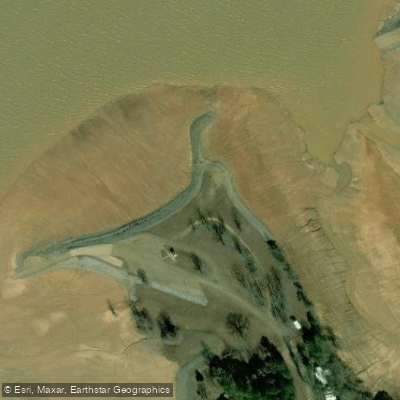
Coles Point Use Area Access
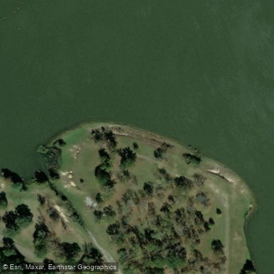
Cypress Point Access

Engineer Point Access
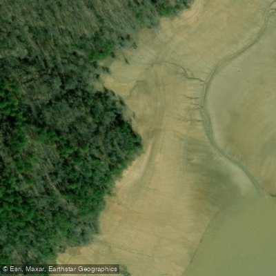
Lespideza Point Access
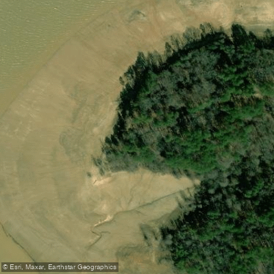
Thompson Creek Landing Access
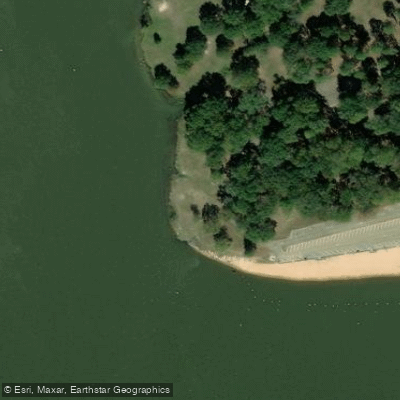
Willow Cove Public Use Area Access
Water and weather conditions (10 day forecast)
Check the forecast at Pats Bluff Public Use Area Access before you go paddling.
No forecast data available.
Paddling near Pats Bluff Public Use Area Access
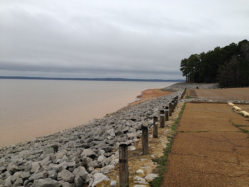
Sardis Lake
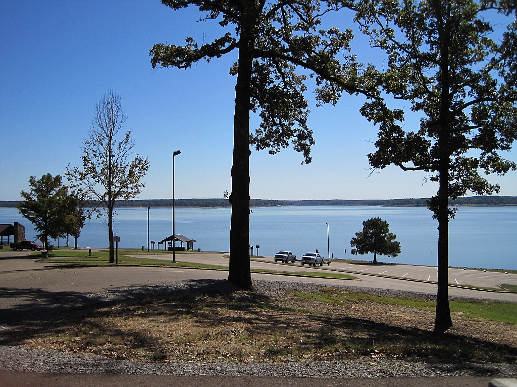
Enid Lake
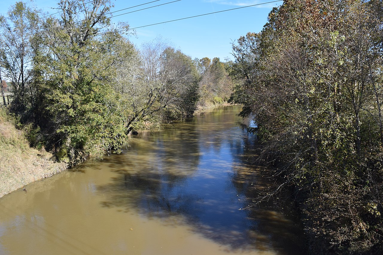
Yocona River

Little Tallahatchie River
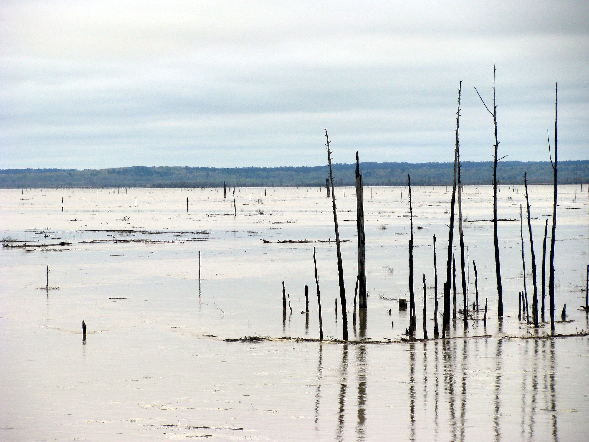
Grenada Lake
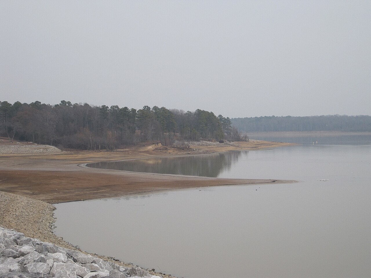
Arkabutla Lake
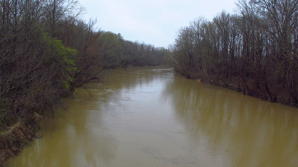
Yalobusha River
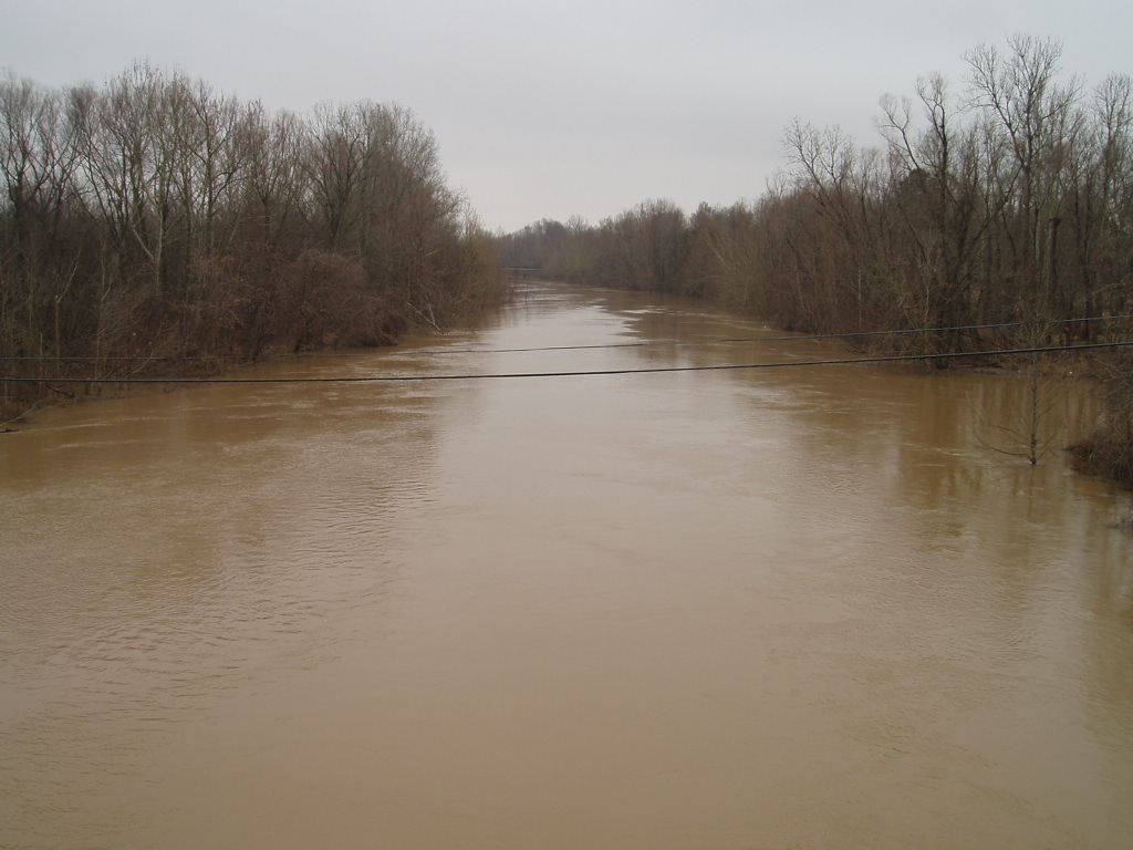
Coldwater River
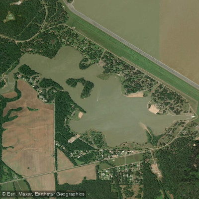
Lower Lake
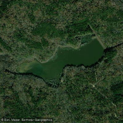
Puskus Lake
Mississippi licenses and regulations
Explore Mississippi waters
Top paddling waters
No waters available right now.
Popular Cities
Loading popular cities...
Explore near Pats Bluff Public Use Area Access
Nearby spots
- Beach Point Boat Ramp
- Clear Creek Boat Ramp
- Coles Point Boat Ramp
- Engineer's Point #2 Boat Ramp
- Engineers Point Boat Ramp
- Lespedeza Point Boat Ramp
- Lespideza Point Use Area Boat Ramp
- Lower Lake Boat Ramp
- Pats Bluff Boat Ramp
- Pats Bluff Public Use Area Boat Ramp
- Sardis Lake Marina Boat Ramp
- Black Jack Point Access
- All 33 nearby spots
Nearby waters
More in Mississippi

Smarter Paddling Starts in the App.
Paddleways gives you everything you need to plan smarter, paddle better, and own every trip from first launch to takeout.