Yalobusha River
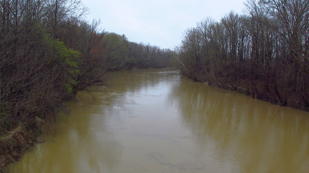
Yalobusha River
- Boat Ramps
- 5
- Access Points
- 5
- Campsites
- 10
The Yalobusha River is a scenic waterway in north-central Mississippi, originating near the town of Oakland and flowing generally westward until it joins the Tallahatchie River to form the Yazoo River. This confluence occurs near Greenwood, marking the end of the Yalobusha's approximately 80-mile journey through the state. The river is best known for its 50-mile Yalobusha River Paddling Trail, which offers a diverse paddling experience through two distinct landscapes.
The trail begins at Grenada Lake, where paddlers encounter the unique Loess Bluffs, hills formed from rock dust during the Ice Age. As the river progresses, it transitions into the lush bottomland forest of Malmaison Wildlife Management Area (MWMA), providing a stark contrast in scenery. Paddling difficulty on the Yalobusha is primarily flatwater, making it suitable for a wide range of skill levels from beginners to experienced paddlers. The river's gentle current and lack of significant rapids or obstacles make it an ideal destination for those seeking a peaceful, scenic float.
The best times to paddle the Yalobusha are typically spring and fall when water levels are optimal and temperatures are moderate. Summer can be hot and humid, while winter may see lower water levels and chilly temperatures.
Wildlife enthusiasts will appreciate the diverse ecosystem along the river. The MWMA is home to various bird species, including waterfowl and migratory birds. Paddlers may also spot deer, turkey, and occasionally alligators in the southern sections.
Key landmarks include the Grenada Lake Dam, the historic town of Grenada, and the city of Greenwood at the trail's end. The river passes through rural landscapes, offering glimpses of agricultural lands and natural habitats. Grenada Lake is available for the trail's start, with additional Avalon and Greenwood put-in and take-out locations. These towns provide amenities for paddlers, including lodging and supplies.
The Yalobusha River holds historical significance as a transportation route for early settlers and played a role in the agricultural development of the region. Today, it serves as an important recreational resource and wildlife corridor.
Safety considerations include being aware of weather conditions, as sudden storms can affect water levels. Paddlers should also be cautious of submerged logs and overhanging branches, especially in narrower sections of the river.
For those interested in multi-day trips, the entire 50-mile paddling trail can be completed in 3-4 days. Primitive campsites are available near some boat ramps, allowing for overnight stays. Alternatively, paddlers can choose individual sections for day trips, with the final 12.5-mile stretch from Avalon to Downtown Greenwood being a popular option, typically taking about 5 hours to complete.
The Yalobusha River Paddling Trail offers a unique opportunity to explore Mississippi's diverse landscapes, from rolling hills to flat delta regions, making it a must-visit destination for paddling enthusiasts in the southeastern United States.
Water access, boat ramps & amenities
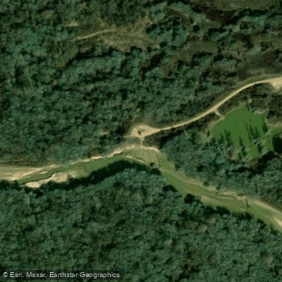
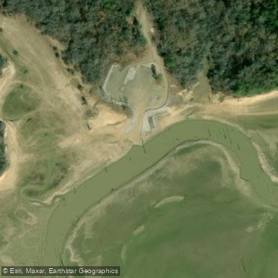
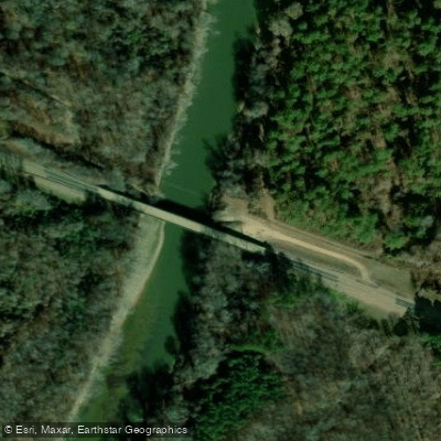
Learn how to get on Yalobusha River. Uncover great paddling access points, boat ramps, and all the facilities you need for an unforgettable day on the water. Some locations shown may border or include private property. Always check property boundaries and applicable regulations before visiting. PaddleWays's Public & Private Land layer can help you plan your access with confidence.
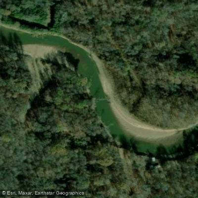
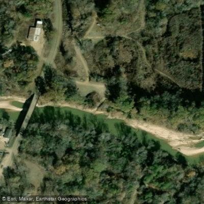
Paddle smarter with real-time insights
Whether you're en route and conditions shift or you're looking for the best spot based on current flows, we enable you to make informed decisions on the fly.








Find Places to Paddle

Over 400,000 Places to Paddle
Every user gets free access to launch points, boat ramps, and public property parcels.


Water and weather conditions (10 day forecast)
See the best times to paddle Yalobusha River and check the forecast before you go.
YALOBUSHA RIVER AT VARDAMAN, MS
All Flow Stations
Paddling near Yalobusha River
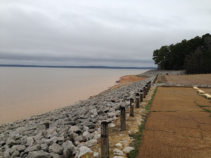
Sardis Lake
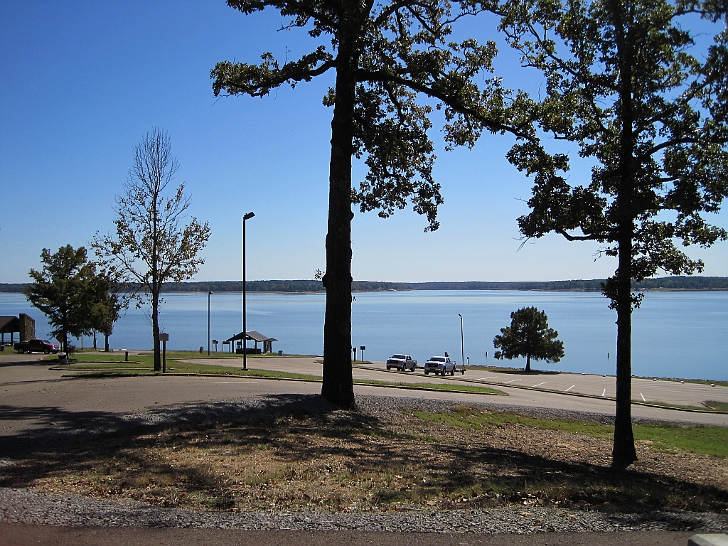
Enid Lake
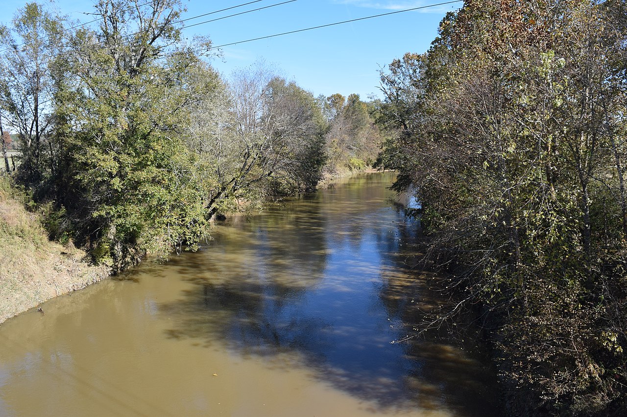
Yocona River
Little Tallahatchie River
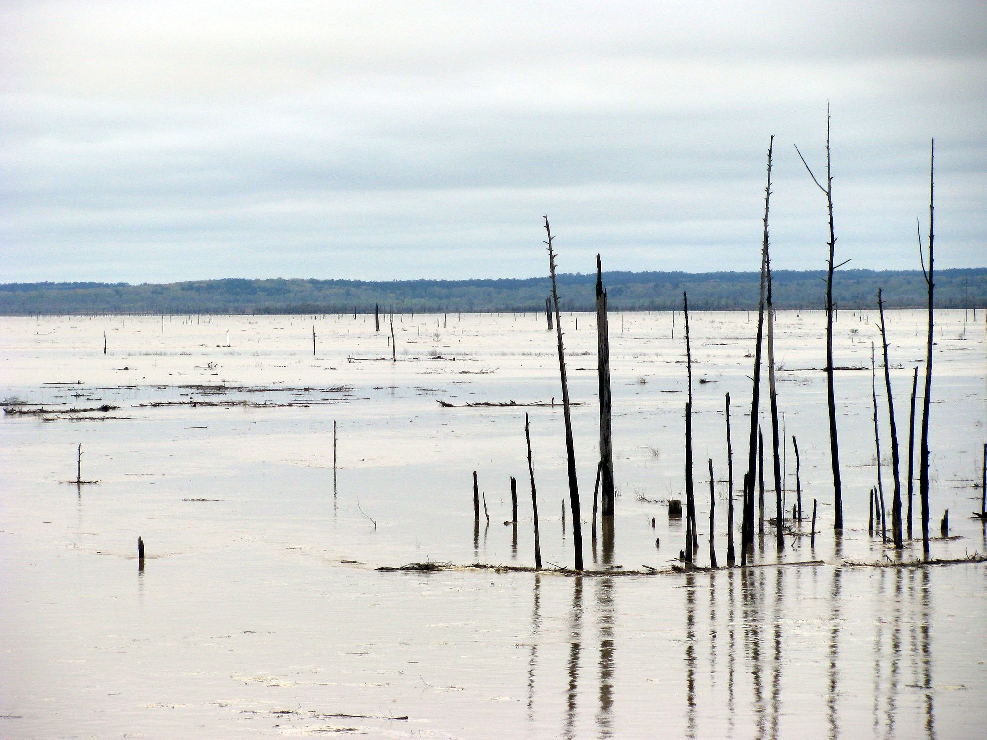
Grenada Lake
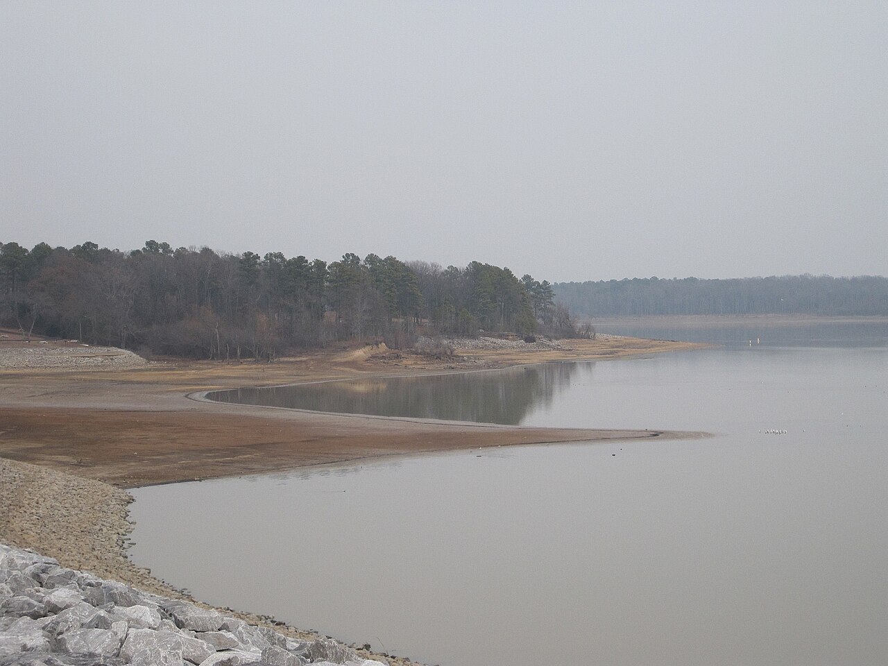
Arkabutla Lake
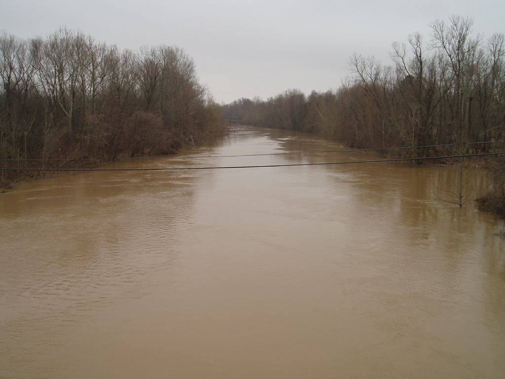
Coldwater River
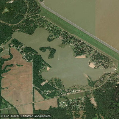
Lower Lake
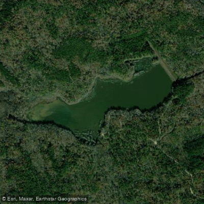
Puskus Lake
Explore Mississippi waters
Top paddling waters
Popular Cities
Loading popular cities...
Explore near Yalobusha River
Access points
Nearby waters
More in Mississippi

Smarter Paddling Starts in the App.
Paddleways gives you everything you need to plan smarter, paddle better, and own every trip from first launch to takeout.