Columbus Lake
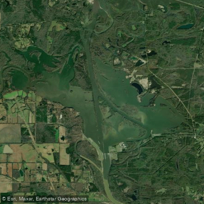
Columbus Lake
- Boat Ramps
- 1
- Access Points
- 1
- Campsites
- 3
Columbus Lake is a large reservoir located on the Tennessee-Tombigbee Waterway in Mississippi. Covering 8,910 acres, it is the largest reservoir along the waterway. The lake extends 22 miles from Aberdeen Lock and Dam (mile 357.5) to Columbus Lock and Dam (Stennis Lock and Dam, mile 334.7).
Created in 1981, Columbus Lake is owned and managed by the U.S. Army Corps of Engineers. The Mississippi Department of Wildlife, Fisheries, and Parks manages the lake's fisheries resources.
The lake is a popular destination for fishing, particularly for bass and crappie. Anglers can target species including bass, walleye, crappie, catfish and sunfish. A Mississippi fishing license is required for those aged 16-65.
An important safety consideration for paddlers is the presence of giant salvinia, a highly invasive floating aquatic plant. It is critical that paddlers thoroughly clean their boats and equipment before and after use to prevent spreading this invasive species.
The lake's large size and 22-mile length offer ample opportunities for day trips. Its connection to the Tennessee-Tombigbee Waterway may provide options for longer journeys.
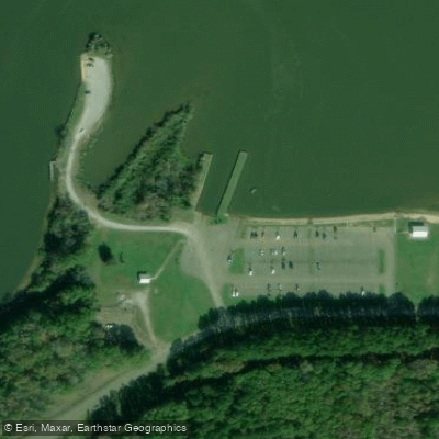
Facilities are limited, though a boat launch is available.
Given its location in Mississippi, paddlers should be prepared for hot summers and mild winters typical of the region.
Standard boating rules apply on this large reservoir, and paddlers should be aware of potential motorized boat traffic.
The lake's position along the Tennessee-Tombigbee Waterway creates a scenic setting, likely featuring typical southern lowland forests and wetlands.
Columbus Lake's status as part of the Tennessee-Tombigbee Waterway gives it historical significance as part of this major navigational project connecting the Tennessee River to the Gulf of Mexico.
Water access, boat ramps & amenities
Learn how to get on Columbus Lake. Uncover great paddling access points, boat ramps, and all the facilities you need for an unforgettable day on the water. Some locations shown may border or include private property. Always check property boundaries and applicable regulations before visiting. PaddleWays's Public & Private Land layer can help you plan your access with confidence.
Paddle smarter with real-time insights
Whether you're en route and conditions shift or you're looking for the best spot based on current flows, we enable you to make informed decisions on the fly.








Find Places to Paddle

Over 400,000 Places to Paddle
Every user gets free access to launch points, boat ramps, and public property parcels.


Water and weather conditions (10 day forecast)
See the best times to paddle Columbus Lake and check the forecast before you go.
TOMBIGBEE RIVER AT STENNIS LOCK AND DAM, MS
Paddling near Columbus Lake
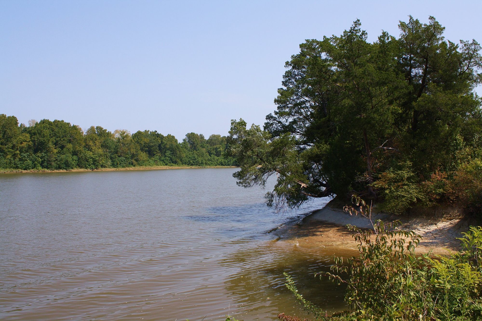
Tombigbee River
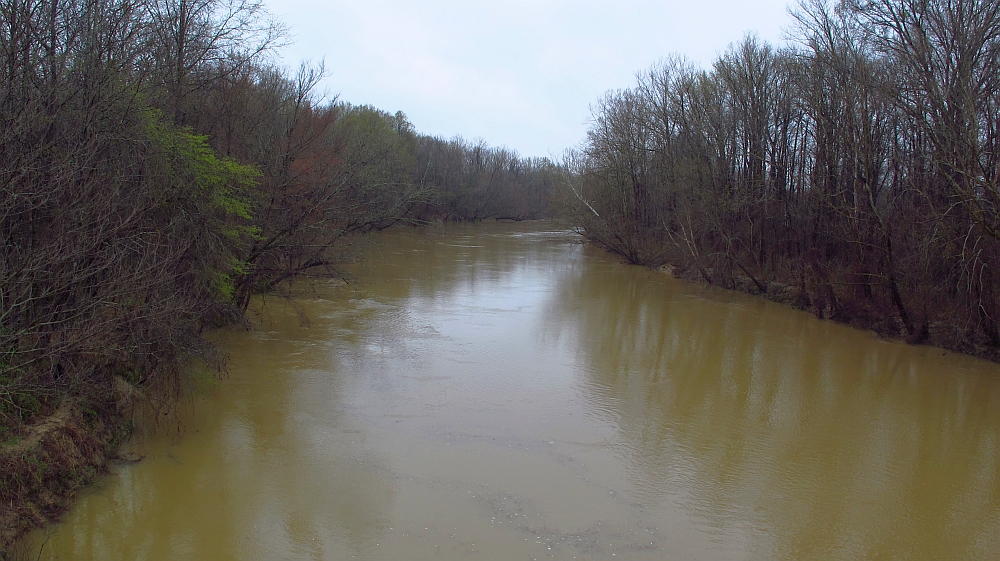
Yalobusha River
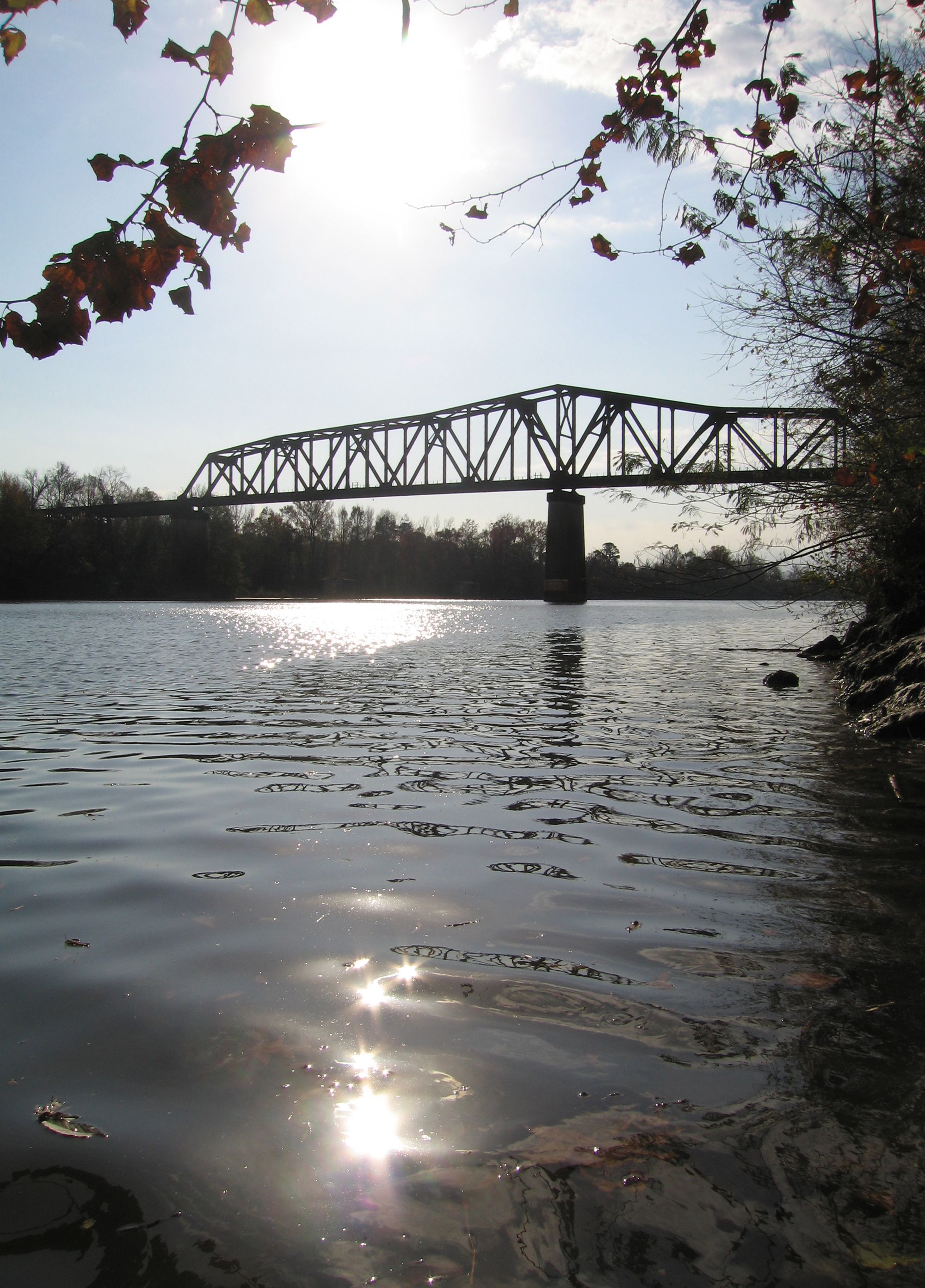
Black Warrior River
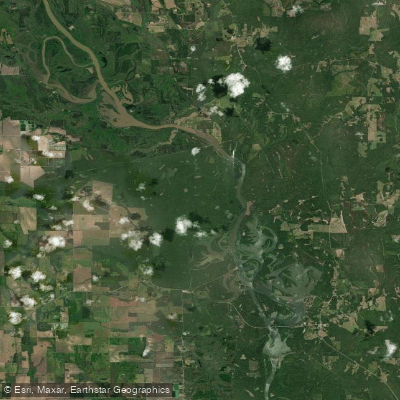
Aliceville Lake
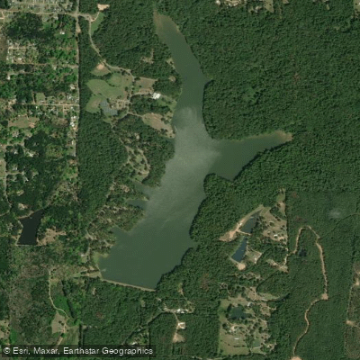
Lake Lowndes
Luxapallila Creek
Gainesville Lake
Lake Monroe
Bluff Lake
Explore Mississippi waters
Top paddling waters
Popular Cities
Loading popular cities...
Explore near Columbus Lake
Access points
Nearby waters
More in Mississippi

Smarter Paddling Starts in the App.
Paddleways gives you everything you need to plan smarter, paddle better, and own every trip from first launch to takeout.