Bourbeuse River
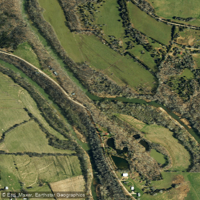
Bourbeuse River
- Boat Ramps
- 6
- Access Points
- 8
- Campsites
- 0
The Bourbeuse River is a scenic waterway in east-central Missouri, originating near Rolla and flowing northeast for approximately 150 miles before joining the Meramec River near Union. As a major tributary of the Meramec, the Bourbeuse drains a significant portion of the northern Ozarks, characterized by rolling hills and forested landscapes.
Paddling opportunities on the Bourbeuse range from short day trips to multi-day adventures. The river is primarily a flatwater to Class I stream, making it suitable for beginners and families, while still offering enough variety to keep experienced paddlers engaged. Popular sections include the 5.3-mile stretch from Uhlemeyer Access to Chouteau Claim Access, and the longer 93.3-mile journey from Highway 19 to the Meramec River confluence.
The Bourbeuse is best paddled in spring and early summer when water levels are typically higher. Late summer and fall can see low water conditions, particularly in the upper reaches, potentially requiring portages around shallow areas. Winter paddling is possible but requires cold-water gear and experience.
The river corridor supports a diverse ecosystem, with sycamore, silver maple, and cottonwood trees lining the banks. Wildlife sightings may include white-tailed deer, wild turkeys, and various bird species. Anglers can find smallmouth bass, spotted bass, and catfish in its waters.
Key landmarks include the Highway 50 Bridge in Union, Guth's Mill Dam (a potential hazard for paddlers), and the scenic bluffs and gravel bars that punctuate the river's course. The confluence with the Meramec River marks a significant point of interest.
Major access points include Highway 19 Bridge near Cuba, Tea Access, Highway H Bridge, Uhlemeyer Access near Union, and Chouteau Claim Access at the Meramec confluence. The towns of Sullivan, Union, and Pacific serve as convenient base camps for river trips.
Historically, the Bourbeuse River played a role in early settlement and transportation in the region. Today, it serves as a valuable recreational resource and an important part of Missouri's river system.
Safety considerations include watching for low-hanging branches, occasional log jams, and the aforementioned Guth's Mill Dam. Paddlers should always wear life jackets and be aware of changing weather conditions. Missouri Department of Conservation regulations apply to fishing and river use.
For those seeking a multi-day adventure, the 107.6-mile trip from Highway 19 to Highway AM (west of Robertsville) offers an extended journey through the heart of the Bourbeuse River valley, typically taking 3-5 days to complete.
Water access, boat ramps & amenities
Learn how to get on Bourbeuse River. Uncover great paddling access points, boat ramps, and all the facilities you need for an unforgettable day on the water. Some locations shown may border or include private property. Always check property boundaries and applicable regulations before visiting. PaddleWays's Public & Private Land layer can help you plan your access with confidence.
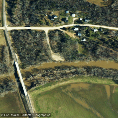
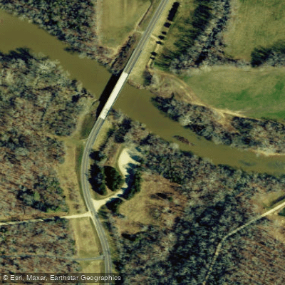
Paddle smarter with real-time insights
Whether you're en route and conditions shift or you're looking for the best spot based on current flows, we enable you to make informed decisions on the fly.








Find Places to Paddle

Over 400,000 Places to Paddle
Every user gets free access to launch points, boat ramps, and public property parcels.


Water and weather conditions (10 day forecast)
See the best times to paddle Bourbeuse River and check the forecast before you go.
Bourbeuse River near High Gate, MO
All Flow Stations
Paddling near Bourbeuse River
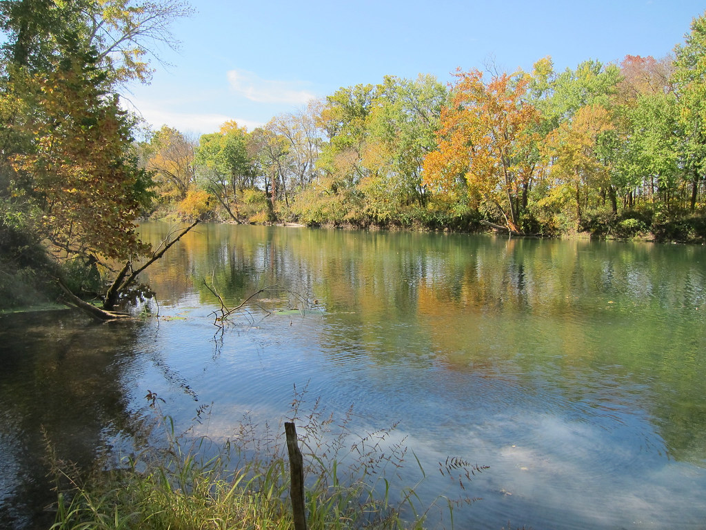
Gasconade River
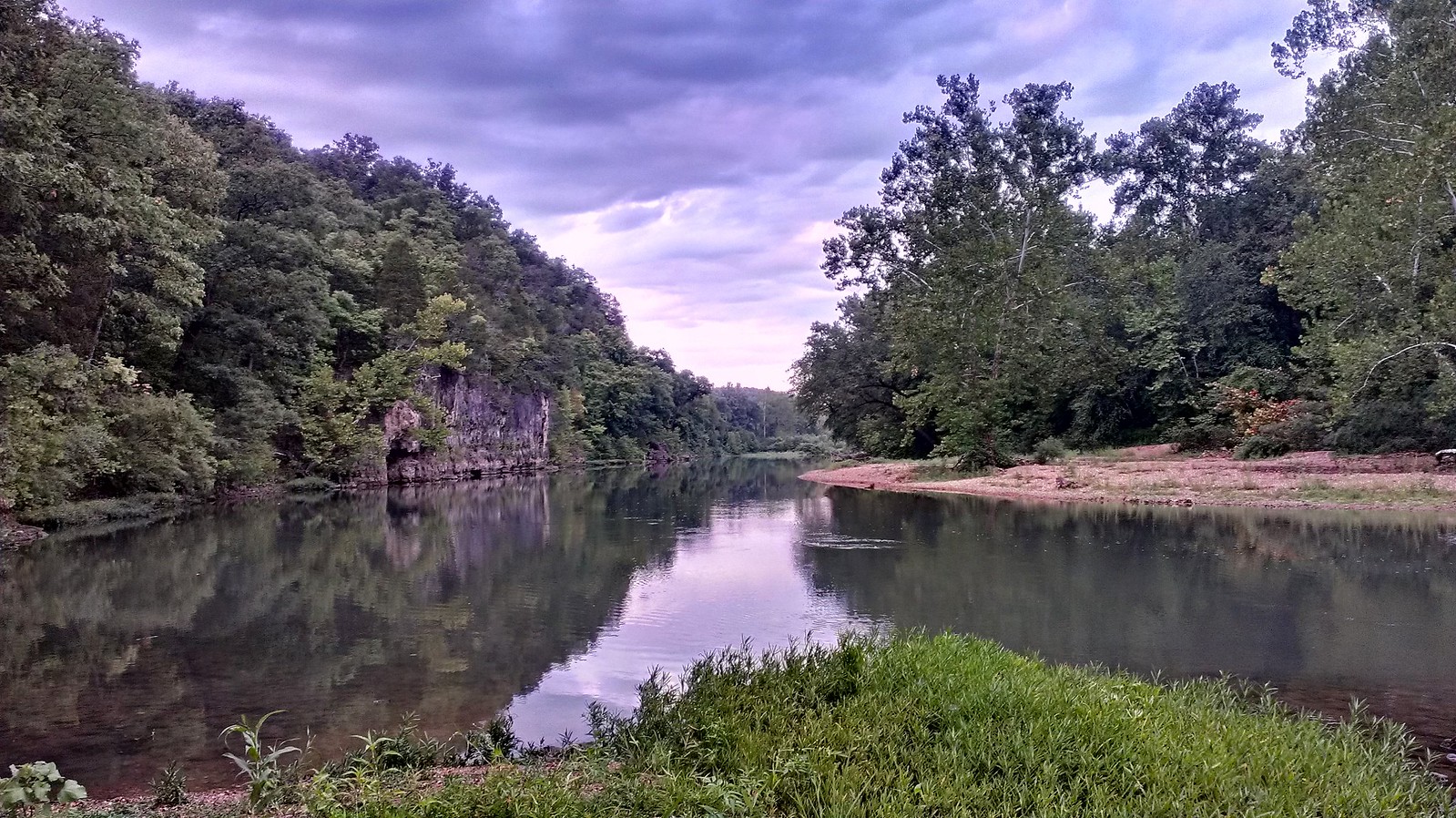
Meramec River
Osage River
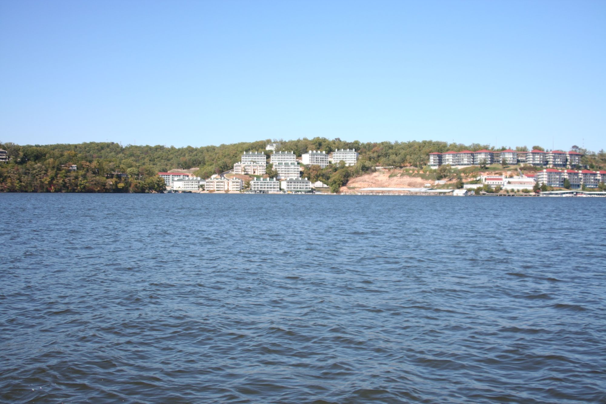
Lake of the Ozarks

Missouri River
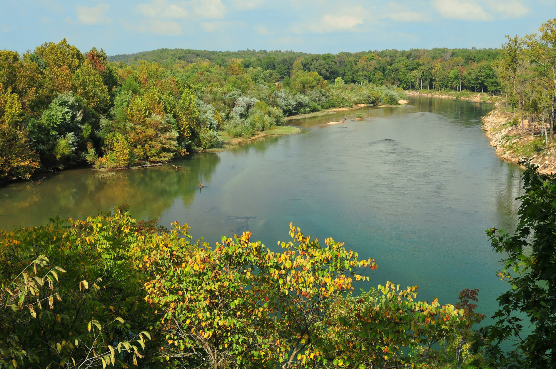
Current River
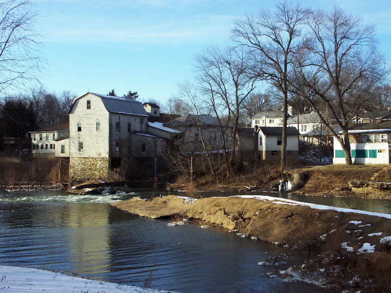
Big River
Little Prairie Lake
Big Piney River
Explore Missouri waters
Top paddling waters
Popular Cities
Loading popular cities...
Explore near Bourbeuse River
Access points
Nearby waters
More in Missouri

Smarter Paddling Starts in the App.
Paddleways gives you everything you need to plan smarter, paddle better, and own every trip from first launch to takeout.